
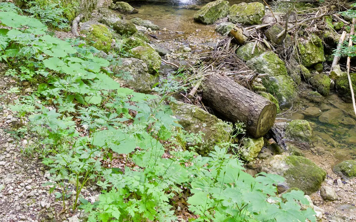
About Sahlin Falls
Sahlin Falls is a named waterfall in Chugach County, Alaska, located about 13 miles northwest of Cordova. The U.S. Geological Survey records it on the Cordova C-6 NE 7.5-minute topographic quadrangle at 60°41′40″ N, 145°58′01″ W (60.69444, -145.96694). Named features close by in the federal gazetteer include Sahlin Creek (stream, 0.1 mi) and Sahlin Lake (lake, 1.0 mi). The nearest other waterfall in this directory is Ohman Falls, 15 miles to the southeast.
USGS gazetteer description: in Sahlin Creek, 600 ft. from its mouth at Sheep Bay, 13 mi. NW of Cordova, Chugach Mts.
Name history: Local name reported in 1933 byU.S. Forest Service (USFS)and derived from Sahlin Creek, on which the falls are located.
Weather at Sahlin Falls
Full NWS forecastForecast for the waterfall's exact location, not the nearest town. Mountain weather can change quickly.
Loading the forecast...
Source: National Weather Service.
Conditions at Sahlin Falls
Sun and Daylight Today
- Sunrise
- —
- Sunset
- —
- Daylight
- —
- Golden hour
- —
Times in Anchorage time. Canyons and steep valleys lose direct sun earlier.
Elevation
—
At the mapped waterfall point, from the USGS 3D Elevation Program. Expect cooler temperatures than in nearby towns at lower elevation.
Nearest Stream Gauge
Checking for USGS gauges within about 8 miles...
Live discharge in cubic feet per second (ft³/s). The gauge may be on a different stream than the falls; use the trend as a rough guide to how much water is running in the area.
Map and Directions
The marker shows the USGS-recorded position of Sahlin Falls. Trailheads and parking can be some distance from the falls themselves, so plan your route with an up-to-date trail map.
Red marks Sahlin Falls; green and gray markers are nearby waterfalls (tap for their pages).
Trail Map
Orange lines are the hiking trails and footpaths mapped around Sahlin Falls, and blue dots mark parking areas, which are often the trailhead. Named trails here: .
Trail lines come from OpenStreetMap, a community-edited map, and may be incomplete or include unofficial paths. Check the land manager's current trail map and conditions before you go.
Named Landmarks Nearby
These named features from the USGS Geographic Names Information System lie within two miles of Sahlin Falls. Stream positions mark the stream's mouth as recorded by USGS.
- Sahlin Creek — stream, 0.1 mi
- Sahlin Lake — lake, 1.0 mi
Before You Visit
Water levels, access and slick rock change with the weather. Read the waterfall safety guide and the packing list, and save the coordinates 60.69444, -145.96694 before you lose cell service. Some named falls are on private land or have no maintained trail.
Waterfalls Near Sahlin Falls
Frequently Asked Questions
Where is Sahlin Falls located?
Sahlin Falls is in Chugach County, Alaska, about 13 miles northwest of Cordova. Its coordinates are 60.69444, -145.96694 (60°41′40″ N, 145°58′01″ W).
What town is closest to Sahlin Falls?
The closest town with 1,000 or more residents is Cordova, AK, about 13 miles away in a straight line. Driving distance is usually longer, so check the route before you go.
What waterfalls are near Sahlin Falls?
The closest is Ohman Falls (15 mi southeast). Others within reach include Horsetail Falls (26 mi), Bridal Veil Falls (26 mi), and Rudleston Falls (27 mi).
Which USGS topographic map shows Sahlin Falls?
Sahlin Falls appears on the USGS Cordova C-6 NE 7.5-minute quadrangle. You can view it in The National Map viewer or download the US Topo sheet for offline navigation.