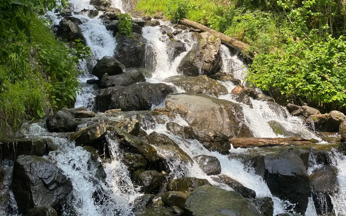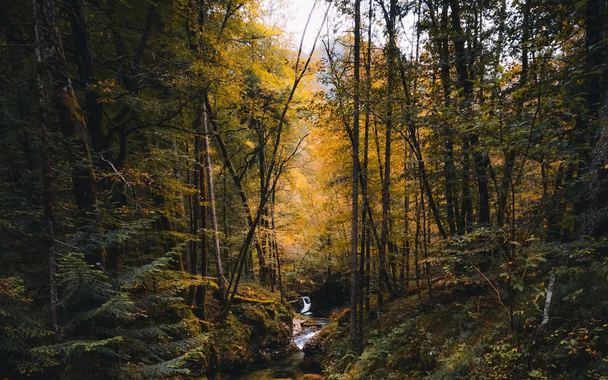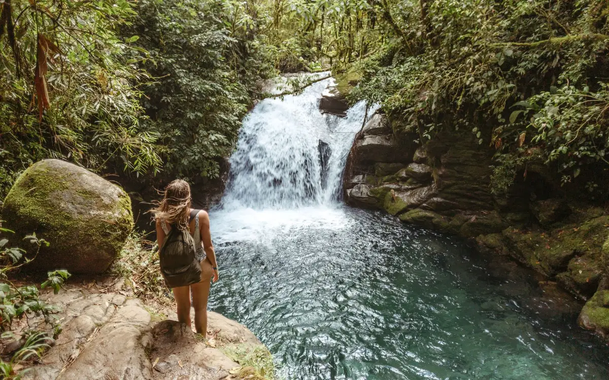
Plan a Blue Ridge Parkway waterfalls trip by milepost, from Apple Orchard Falls in Virginia to Linville, Crabtree and Graveyard Fields in North Carolina.
The Blue Ridge Parkway is one of the easiest ways to see a lot of Appalachian waterfalls in a few days. The road runs 469 miles along the mountains from Shenandoah National Park in Virginia to Great Smoky Mountains National Park in North Carolina, and the best waterfall stops sit either right on the road or a short side trip away. The densest stretch is in North Carolina, between Linville Falls (milepost 316) and Graveyard Fields (milepost 418.8).
This guide goes from north to south by milepost, which is how the Parkway itself is signed. Trail lengths and rules come from the National Park Service and U.S. Forest Service pages linked below. Hurricane Helene damage is still being repaired in places, so treat this as a plan and confirm the current road status the week you go.
Before You Drive: Four Rules That Shape the Trip
There is no entrance fee. The Parkway is free to drive, and the trailheads on Parkway land are free too. You only pay at a few national forest sites just off the road and for camping. Our guide to waterfall fees, permits and parking passes explains how these passes work elsewhere.
Swimming in Parkway waters is illegal. The Park Service says this on its waterfall page and repeats it at Linville Falls, where swimming and climbing on the rocks are banned. Plan your swim stops off the Parkway (see Sliding Rock below), and read waterfall swimming safety before you get in anywhere.
Stay off the rocks. The Park Service warns that rock near Parkway waterfalls is slippery from mist and algae. That's the most common way people get hurt at waterfalls in these mountains. Our waterfall safety tips cover the basics.
Expect closures. As of November 2026, the Park Service lists mileposts 344.2 to 355.3, from NC Highway 80 to Mount Mitchell State Park, as closed for Helene repairs, with recreation prohibited in that section. Linville Falls Campground and Picnic Area and Crabtree Falls Campground have also been listed as closed. High sections of the road can also close in winter because of snow and ice.
Virginia: Two Falls Near Peaks of Otter
The Virginia half of the Parkway has fewer waterfalls along the road, but two of the Park Service's listed waterfall hikes are close together near Peaks of Otter, north of Roanoke.
Apple Orchard Falls (Milepost 78)
The trail leaves from the Sunset Field Overlook and heads downhill into the George Washington and Jefferson National Forests to a falls the Forest Service describes as about 200 feet tall. It's about 1.2 miles each way, with roughly 1,000 feet of descent, and you climb all of it back to the car. The Park Service notes a viewing platform almost directly under the falls, which gets you misted on a summer day.
Allow two to three hours round trip and save energy for the climb out. See the Apple Orchard Falls page for the location and nearby falls.
Fallingwater Cascades (Milepost 83)
A few miles south, near Peaks of Otter, Fallingwater Cascades is reached on a trail lined with rhododendron. It pairs well with a stop at the lodge and lake area at Peaks of Otter.
A Side Trip: Crabtree Falls, Virginia
Don't confuse this with the North Carolina falls of the same name. Crabtree Falls in Virginia is a short drive off the Parkway on Route 56 in Nelson County, and it's run by the Forest Service, not the Park Service. The Forest Service describes a 2.7-mile trail past five major cascades totaling about 1,200 feet of drop. The first overlook is a short, universally accessible paved walk from the lot. There's a $3 per vehicle day-use fee, and the Forest Service warns that leaving the trail onto the wet rock has caused many deaths.
North Carolina: The Waterfall Stretch
South of the Virginia line the Parkway climbs higher, and the waterfalls get closer together. If you only have one or two days, spend them here.
Cascades at E.B. Jeffress Park (Milepost 271.9)
The Cascades Trail is a 0.5-mile self-guiding loop to a view of the falls, which makes it an easy first stop south of Blowing Rock and Boone. On our site it's listed as Cascade Falls near West Jefferson. Watch from the overlook, and keep kids close near the water.
Linville Falls (Milepost 316)
Linville Falls is the best single waterfall stop on the Parkway because you can see it so many ways. All the main trails start at the Linville Falls Visitor Center:
| Trail | Round trip | What you see | Park Service rating |
|---|---|---|---|
| Erwins View Trail | 1.6 miles | Four overlooks: upper falls, Chimney View, Gorge View, Erwins View | Moderate, strenuous near Chimney View |
| Plunge Basin Overlook | 1 mile | Lower falls and the Chimneys from across the gorge | Strenuous |
| Linville Gorge Trail | 1.4 miles | The base of the falls and its large pool | Strenuous |
At the first overlook on the Erwins View side, the Linville River slows over the upper falls, then pours into a narrow canyon and drops 45 feet over the lower falls. Erwins View, at the end of the trail, looks down the whole Linville Gorge with both falls in the distance.
There's also a short loop at the same milepost to Duggers Falls, about a quarter mile, if anyone in your group doesn't want the longer climbs. The Park Service lists the Linville River trails as moderate to strenuous, and swimming and climbing on the rocks aren't allowed. Some Forest Service trails in the Linville Gorge Wilderness have reopened since the storm. Check their status before you plan anything longer.
I'd give Linville at least two hours: Erwins View first for the big picture, then the Plunge Basin spur if your legs agree.
Crabtree Falls, North Carolina (Milepost 339.5)
Crabtree Falls is a 2.5-mile loop to the base of a falls that drops about 60 feet over a rock cliff. From the base you can go back the way you came or keep going on the loop past the top of the falls. The Park Service notes the falls were once called Murphy's Falls. Ferns and wildflowers grow thick in the cool spray, and pink turtlehead blooms along the trail in late summer.
Crabtree is just south of the closed section that starts at milepost 344.2, so you can't keep driving south from here to Mount Mitchell. Use the official closure map to plan your detour, and expect the campground to stay closed until the Park Service says otherwise.
Glassmine Falls (Milepost 361.2)
Glassmine Falls is a view from an overlook, not a hike. The Park Service lists it as a 0.1-mile walk. You look across the valley to the falls on the far mountainside, and it's an easy stop on the way toward Craggy Gardens.
Pisgah National Forest: Looking Glass, Moore Cove and Sliding Rock
South of Asheville, US 276 drops off the Parkway at milepost 411.8 and runs down through Pisgah National Forest toward Brevard. Three of the region's best-known falls are on or just off this road, and the Park Service lists Looking Glass Falls among its Parkway waterfall hikes even though it's off the road itself.
- Looking Glass Falls is about 9 miles (around 15 minutes) down US 276 from the Parkway. You can see it from the road with no hike, which is why it's so popular. Shoulder parking is limited, so arrive early on summer weekends.
- Moore Cove Falls is about a mile farther north of Looking Glass on US 276. The Forest Service describes an easy trail of about 0.7 mile each way to the falls.
- Sliding Rock is the swim stop. The Forest Service runs it as a natural water slide. In the staffed season it costs $6 per person (free for ages 5 and under), with lifeguards from Memorial Day through Labor Day, 9 a.m. to 6 p.m. Dogs are allowed on leash but may not slide.
This loop off the Parkway is a good half day on its own, and Brevard has food and fuel at the bottom of the hill.
Skinny Dip Falls and Graveyard Fields (Mileposts 417 to 418.8)
Back up on the Parkway, the high country west of Mount Pisgah has two more Park Service waterfall stops within a couple of miles of each other.
Skinny Dip Falls (milepost 417) sits a short distance off the road on the Mountains-to-Sea Trail. Despite the name, the Park Service's rule still applies: no swimming in Parkway waters.
Graveyard Fields (milepost 418.8) has a 2.3-mile loop trail along a stream through a high open valley. The name comes from a windstorm that knocked down hundreds of spruce and fir trees. Their moss-covered stumps looked like graves. Second Falls and Upper Falls are along the Yellowstone Prong here. This is one of the busiest trailheads on the southern Parkway in summer and in October, so plan a weekday or an early start.
A Sample Two-Day Plan
If you're driving from the Charlotte area, Linville Falls is the natural starting point. Our waterfalls near Charlotte page lists other falls within a day trip of the city.
Day 1: Linville and Crabtree. Start at the Linville Falls Visitor Center for Erwins View and, if you have energy, the Plunge Basin Overlook. Drive south to Crabtree Falls for the loop. Because of the closure beyond milepost 344.2, leave the Parkway and follow the Park Service's posted detour toward Asheville.
Day 2: Pisgah and the high country. Rejoin the Parkway south of Asheville. Drop down US 276 for Looking Glass Falls, Moore Cove and, in summer, Sliding Rock. Then climb back to the Parkway for Skinny Dip Falls and the Graveyard Fields loop before evening.
With a third day, go north into Virginia for Apple Orchard Falls and Fallingwater Cascades near Peaks of Otter, plus Crabtree Falls off Route 56.
When to Go
| Season | What to expect |
|---|---|
| Spring (April to May) | Strongest flow and wildflowers along the Linville and Crabtree trails. Some facilities open late, and high sections can still close in bad weather. |
| Summer | Green and busy. Best for Sliding Rock with lifeguards on duty. Afternoon storms are common, so start hikes early. |
| Fall (October) | Peak color and peak crowds, especially at Linville and Graveyard Fields. Water can be lower after a dry September. |
| Winter | Quiet, with ice on some falls, but sections of the road close for snow and ice. Check road status before every trip. |
For more on timing a waterfall trip around rain and snowmelt, see the best time to visit waterfalls.
What to Pack
Most of these trails are short, but several climb back up steeply. Bring water even for a one-mile walk, and wear shoes with real grip, because mist keeps the stone steps and overlooks wet all year. Cell service is unreliable in the gorges, so download your maps first. Our waterfall hike packing list covers the rest, and you can browse every listed falls in the region on the North Carolina waterfalls page and the Virginia waterfalls page.
The Parkway works best slowly. Pick two or three waterfalls a day, walk the trails all the way to the overlooks, and leave time for the views between them.
Frequently asked questions
What is the best waterfall on the Blue Ridge Parkway?
If you only have time for one stop, make it Linville Falls at milepost 316. Several trails from one visitor center give you very different views of the same falls, from an easy look at the upper falls to a strenuous walk down to the base. Crabtree Falls at milepost 339.5 is the best choice if you want a loop hike instead.
Can you swim in waterfalls on the Blue Ridge Parkway?
No. The National Park Service says swimming in Parkway waters is illegal, and swimming and rock climbing at Linville Falls are specifically prohibited. If you want to get in the water, Sliding Rock in Pisgah National Forest, a short drive off the Parkway on US 276, is a staffed natural water slide with lifeguards in summer.
Does the Blue Ridge Parkway charge an entrance fee?
No. There is no entrance fee for the Parkway itself, so the waterfall trailheads on Parkway land are free. Fees apply at some nearby national forest sites, such as Sliding Rock in North Carolina and the Crabtree Falls day-use area in Virginia, and to Parkway campgrounds.
When is the best time to see Blue Ridge Parkway waterfalls?
Spring brings the strongest flow and wildflowers along the trails, and October brings fall color. Summer is fine after rain. Winter can close high sections of the road for snow and ice, so check the Park Service road status page before you drive.
Is the whole Blue Ridge Parkway open after Hurricane Helene?
Not all of it. In November 2026 the Park Service still listed a closed section between mileposts 344.2 and 355.3, from NC Highway 80 to Mount Mitchell State Park, with recreation prohibited there. Crabtree Falls at milepost 339.5 is just south of that gap, so plan your route around it and check the closure page before you go.
Find Waterfalls Near You
Search 2,500+ named waterfalls by name, town or state.
Popular states: Oregon · New York · Washington · Michigan · California · Montana · Maine · Hawaii