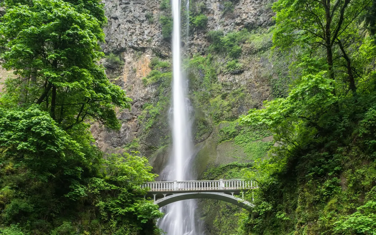
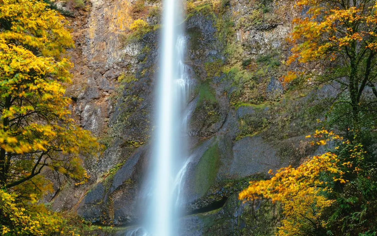
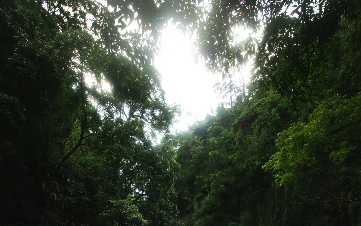
Portland sits closer to a dense stretch of public waterfalls than almost any other big U.S. city. Multnomah Falls, the most reviewed waterfall in the country on this site, is about 27 miles east in the Columbia River Gorge, and the Historic Columbia River Highway strings Latourell, Bridal Veil and Horsetail Falls within a few miles of each other. You can see several of them in a morning without leaving paved paths.
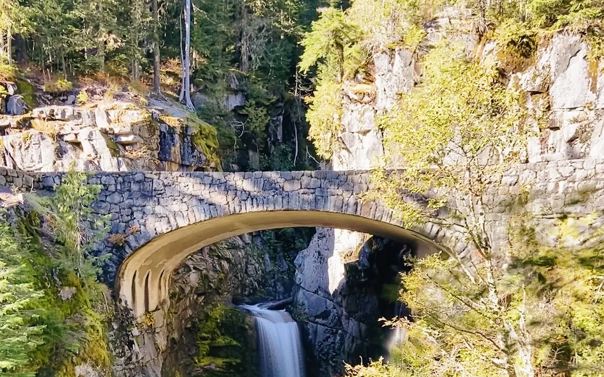
Farther out, still inside a two-hour radius, Sahalie and Koosah Falls on the McKenzie River and Narada Falls on the road to Paradise in Mount Rainier National Park make full-day drives. Closer south and west, Abiqua Falls, Drift Creek Falls and Moulton Falls fill in shorter trips when Gorge parking is packed.
Gorge flow is strongest in winter and spring. Summer brings timed-entry rules at Multnomah's I-84 lot and heavy traffic on the Historic Highway, so weekday starts and early arrivals matter more than they do in March.
By David F. · Published November 5, 2026 · Distances are straight-line miles from the center of Portland.
Day-Trip Waterfalls at a Glance
| Waterfall | State | Distance | Google rating | Fee | Dogs |
|---|---|---|---|---|---|
| Multnomah Falls | OR | 27 mi east | 4.7 (6,149) | No | Leashed |
| Latourell Falls | OR | 22 mi east | 4.9 (599) | Yes | Leashed |
| Sahalie Falls | OR | 88 mi southeast | 4.9 (412) | No | Leashed |
| Horsetail Falls | OR | 30 mi east | 4.9 (386) | No | Leashed |
| Little Mashel Falls | WA | 94 mi north | 4.7 (328) | Not checked | Not checked |
| Abiqua Falls | OR | 42 mi south | 4.8 (280) | Not checked | Not checked |
| Narada Falls | WA | 97 mi northeast | 4.9 (260) | Yes | Leashed |
| Bridal Veil Falls | OR | 24 mi east | 4.9 (230) | Not checked | Not checked |
| Koosah Falls | OR | 88 mi south | 4.9 (218) | Not checked | Not checked |
| Drift Creek Falls | OR | 70 mi southwest | 3.8 (218) | Not checked | Not checked |
| Moulton Falls | WA | 25 mi northeast | 4.8 (217) | Not checked | Not checked |
| Wahclella Falls | OR | 36 mi east | 4.8 (195) | Not checked | Not checked |
| Youngs River Falls | OR | 65 mi northwest | 4.8 (181) | Not checked | Not checked |
| Falls Creek Falls | WA | 45 mi northeast | 4.8 (180) | Not checked | Not checked |
| Ramona Falls | OR | 45 mi east | 4.7 (160) | Not checked | Not checked |
"Not checked" means we haven't verified that detail yet, not that the answer is no. Open a waterfall's page for its trail, parking and swimming details where we have them.