
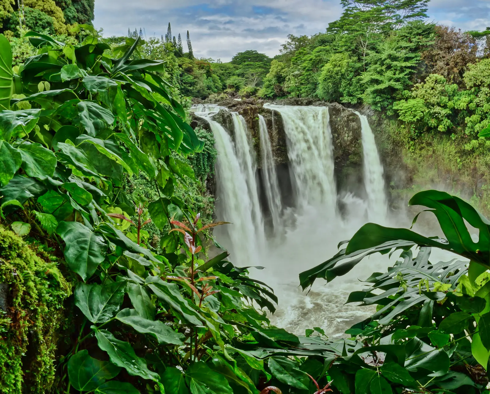

Hawaii has 99 named waterfalls in the U.S. Geological Survey Geographic Names Information System, the features classified as Falls. That count ranks Hawaii 9th among the 50 states. The figure comes from the GNIS domestic-names extract in this site, committed 2026-10-02, and this page was published 2026-11-19. The latest feature-edit date stored on these Falls records is December 30, 2020.
National rank and density
Divided by the state's land area of 6,423 square miles, from the U.S. Census Bureau 2024 Gazetteer (ALAND_SQMI, land only, inland water excluded), Hawaii has 15.41 named falls per 1,000 square miles. That density ranks first of the 50 states. The national named total in this extract is 2,514 falls across the 50 states, so Hawaii holds 3.9 percent of them.
Hawaii shares no land boundary with another state. The right comparison is the national rank above, not a neighbor.
Where the named falls cluster
Hawaii's named falls are filed under 4 county equivalents. The largest counts are Hawaii (36), Kauai (33), and Maui (26), 95 falls and 96 percent of the state total.
Honolulu County, which is the island of Oahu, has 4 named falls. Hawaii County, Kauai and Maui hold the rest.
The Hawaii waterfall map plots the same named falls. County names are the labels GNIS recorded. Connecticut's file uses planning regions, Alaska's uses boroughs and census areas, and Louisiana's uses parishes, so the column is not always a traditional county.
| County or equivalent | Named falls | Share | Examples |
|---|---|---|---|
| Hawaii | 36 | 36.4% | Aa Falls, Aimoo Falls, Hakalaoa Falls |
| Kauai | 33 | 33.3% | Hāliʻi Falls, Halulu Falls, Hanakāpīʻai Falls |
| Maui | 26 | 26.3% | Haha Falls, Haʻipuaʻena Falls, Hāloku Falls |
| Honolulu | 4 | 4% | Mānoa Falls, Sacred Falls, Waimea Falls |
Why Hawaii's count looks like this
Hawaii is ninth by count and first by a wide margin once you divide by land area. The named falls are split across the four counties that are the islands: Hawaii County, Kauai and Maui hold almost all of them, and Honolulu County, which is Oahu, has only a handful. The pattern is windward. Trade winds hit the volcanoes, drop rain on the northeast slopes, and the streams fall off valley walls that are only a few hundred thousand years old.
Kauai’s counts are high for its size because the island is older and more deeply eroded than the Big Island’s active slopes. Waimea Canyon and the Na Pali coast are incised valleys, not a single cliff. The Big Island adds tall valley-head falls on the windward Kohala and Hamakua coasts, many of them on private land or at the end of a road that floods. Named, in this file, is not the same as legally reachable.
Named falls we publish
We publish a full page for 17 of the 99 named falls. A page exists when the fall has at least 25 Google reviews, a sourced trip guide, or at least 200 characters of USGS description or history. The other 82 stay on the state guide as names and coordinates. The Hawaii state guide also lists 13 other places from Google Maps that are not in the GNIS Falls extract, so the guide's total is 112.
- Rainbow Falls (Hawaii · 1,710 Google reviews)
- Mānoa Falls (Honolulu · 1,144 Google reviews · 0.8 mile one way (1.6 miles round trip))
- Wailua Falls (Kauai · 1,103 Google reviews)
- Waimea Falls (Honolulu · 520 Google reviews · About 3/4 mile one way)
- ʻAkaka Falls (Hawaii · 405 Google reviews · 0.4 mile loop)
- Hoʻopiʻi Falls (Kauai · 289 Google reviews · 0.8 miles one way)
- ʻŌpaekaʻa Falls (Kauai · 205 Google reviews)
- Waimoku Falls (Maui · 124 Google reviews · 1.8 miles one way)
- Hanakāpīʻai Falls (Kauai · 90 Google reviews)
- Waiale Falls (Hawaii · 61 Google reviews)
- Kulaniapia Falls (Hawaii · 44 Google reviews)
- Hiʻilawe Falls (Hawaii · 39 Google reviews)
Those are the 12 published pages with the most Google reviews. The state guide links the rest.
Tallest falls on the record
Our national roundup, the largest waterfalls in the U.S. by state, names a well-documented tall fall for Hawaii in the state-by-state table. That roundup is a height and volume study. It is not this named-count ranking. None of the USGS descriptions in our file state a height in feet for a named fall here. We do not estimate one.
National parks
These national park guides include a published waterfall whose coordinates fall inside the park and inside Hawaii.
- Haleakalā National Park (2 published waterfalls in Hawaii: Makahiku Falls, Waimoku Falls)
Trails we can measure
These distances come from the trail notes already attached to the published pages, either a sourced trip guide or an OpenStreetMap path. A blank distance means the map did not give one we were willing to print.
- Mānoa Falls: 0.8 mile one way (1.6 miles round trip)
- Waimea Falls: About 3/4 mile one way
- ʻAkaka Falls: Akaka Falls Loop Trail, 0.4 mile loop
- Hoʻopiʻi Falls: Ho'opi'i Falls Trail, 0.8 miles one way
- Waimoku Falls: Pīpīwai Trail, 1.8 miles one way
When to go in Hawaii
Windward falls run in every month because the trades do not take a season off. They are fullest when a winter storm or a passing low sits on the islands, and they drop within a day when the ridge to windward goes quiet. Flash floods are the planning problem, not a spring melt calendar. Leeward slopes can be dry in the same hour a windward fall is in flood.
How this number was counted
Named falls are records with feature class Falls in the USGS National Map GNIS domestic names, filtered to this state in data/gnis-waterfalls.json. The download script is scripts/prepare-gnis.mjs, pointed at the USGS domestic-names file. Land area is ALAND_SQMI in the Census Bureau 2024 Gazetteer national state file, written by scripts/prepare-state-areas.mjs. Density is named falls divided by land area, times 1,000. The full 50-state ranking, including states with too few named falls for their own page, is Which state has the most waterfalls?.
Frequently asked questions
How many waterfalls are in Hawaii?
Hawaii has 99 named waterfalls in the USGS GNIS Falls class, ranking 9th of the 50 states. The extract used here was committed 2026-10-02, and this page was published 2026-11-19.
Which county in Hawaii has the most named waterfalls?
Hawaii has the most, with 36 named falls. Kauai is next with 33.
How many Hawaii waterfalls have a page on this site?
17 of the 99 named falls have a published page. A page requires 25 or more Google reviews, a sourced trip guide, or at least 200 characters of USGS description or history.
When is the best time to see waterfalls in Hawaii?
Windward falls run in every month because the trades do not take a season off. They are fullest when a winter storm or a passing low sits on the islands, and they drop within a day when the ridge to windward goes quiet. Flash floods are the planning problem, not a spring melt calendar. Leeward slopes can be dry in the same hour a windward fall is in flood.
Does Hawaii have the most waterfalls?
Hawaii has the most named falls per 1,000 square miles, and it does not have the most named falls. Oregon, New York, Michigan, California and Washington all record more names. Hawaii’s rank flips as soon as the question becomes density rather than a raw total.