
Fish Recorded Near US Waterfalls
Occurrence records on the named stream within 5 km of a published waterfall. Not a stocking list, and not a statement that a fish lives in the falls.
This hub lists 187 fish species recorded near 100 published waterfalls. 29 of those species are recorded near at least 5 falls and have their own page. 155 species have a hosted photograph. 94 are flagged from USGS NAS as nonindigenous in at least one of the states where a waterfall matched.
We started from the 725 waterfall pages already published on this site. For each one, the nearest named flowline in USGS hydrography (the 3D Hydrography Program, and the same GNIS-name rule on NHDPlus High Resolution where that service answered first) had to pass within 500 metres. That left 657 falls on a named stream. A fish counts for a fall only when a GBIF occurrence from 2005–2026 uses that stream name, lies inside a 5 km radius, and carries a CC0 or CC BY license. Museum and agency surveys and iNaturalist research-grade observations are both in GBIF; the license filter is what decides whether a row is kept.
Every species page and every “Fish recorded nearby” note uses the same sentence pattern: recorded in the stream near the falls. Source dataset, record count, and year range are stored with the match. If a field is missing from the source, it is left blank.
-
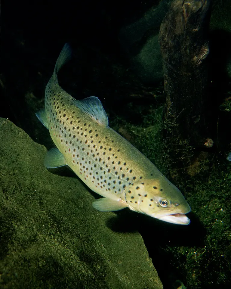 Brown Trout Salmo trutta
-
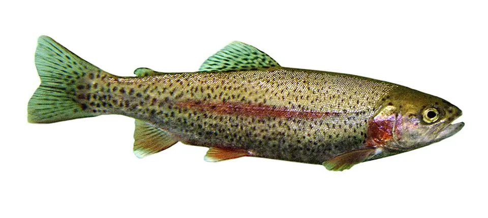 Rainbow Trout Oncorhynchus mykiss
-
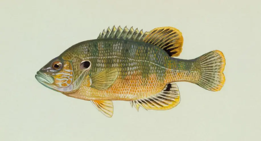 Green Sunfish Lepomis cyanellus
-
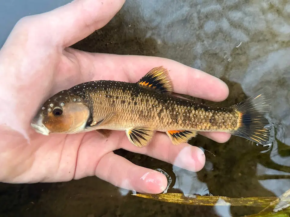 Central Stoneroller Campostoma anomalum
-
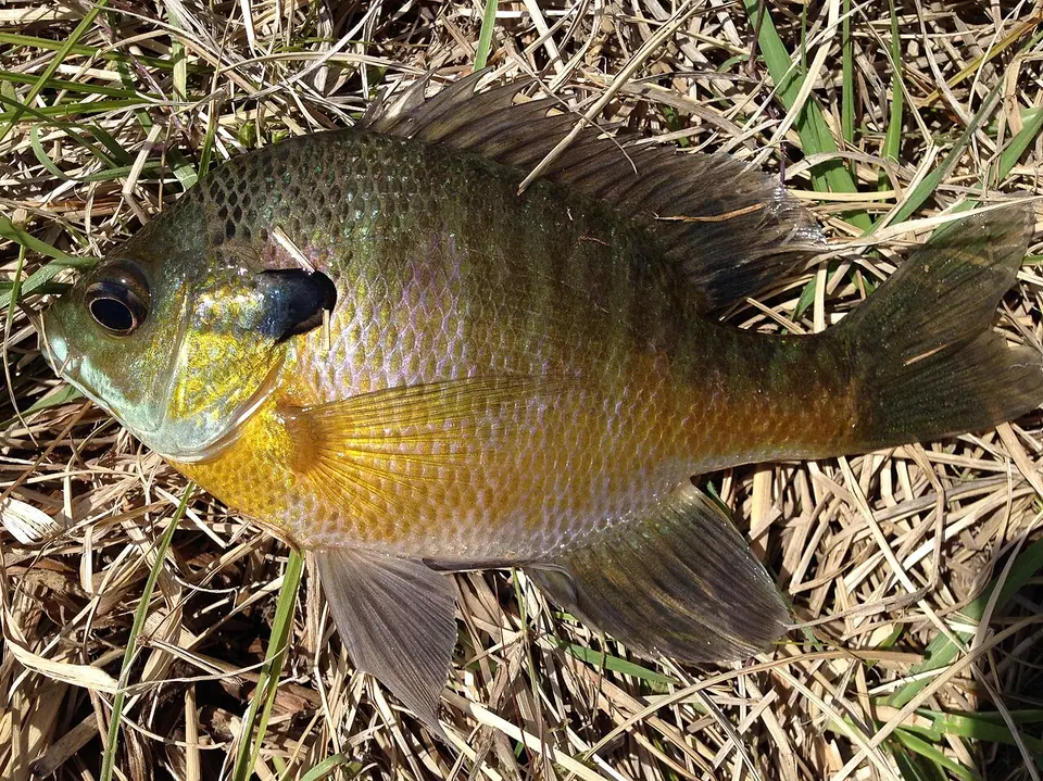 Bluegill Lepomis macrochirus
-
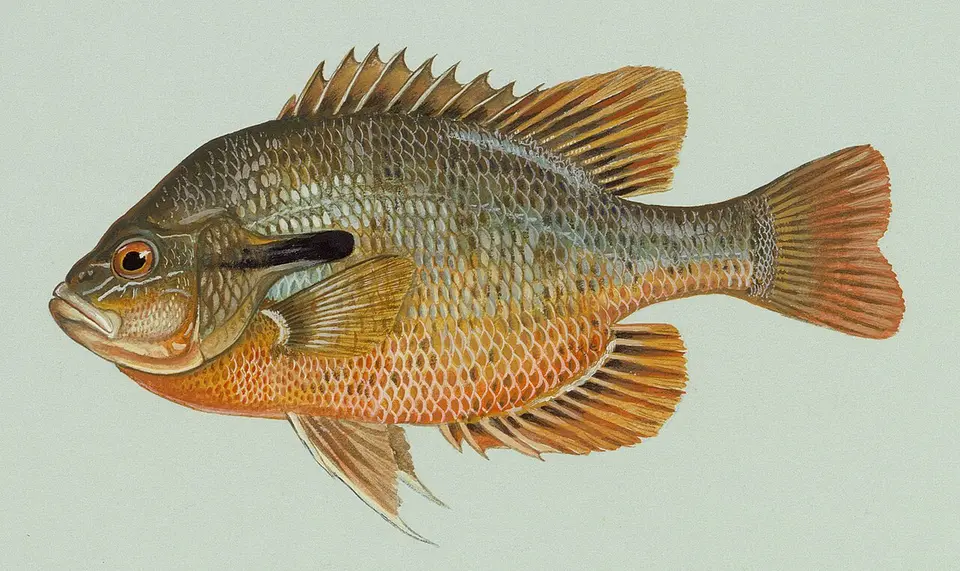 Redbreast Sunfish Lepomis auritus
-
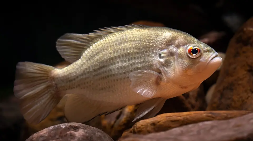 Rock Bass Ambloplites rupestris
-
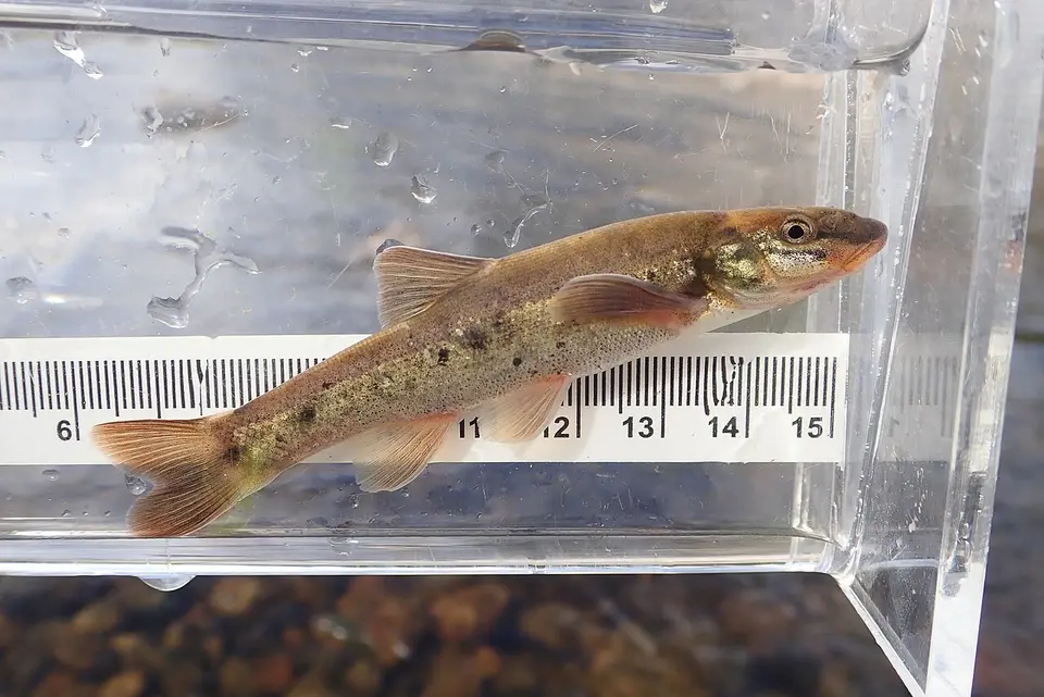 Longnose Dace Rhinichthys cataractae
-
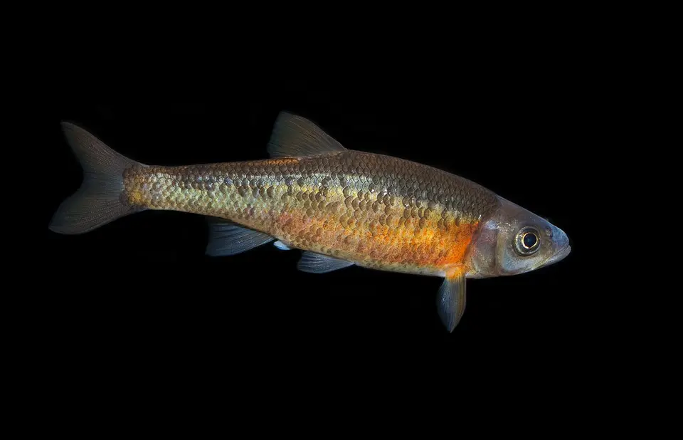 Rosyside Dace Clinostomus funduloides
-
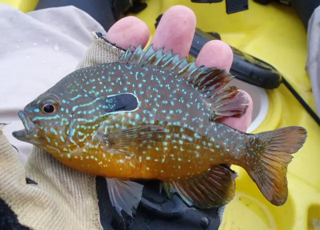 Longear Sunfish Lepomis megalotis
-
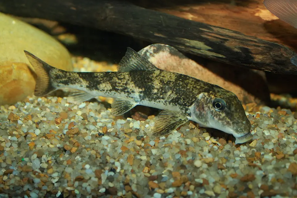 Northern Hog Sucker Hypentelium nigricans
-
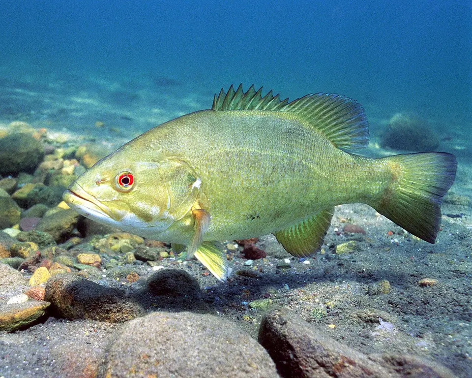 Smallmouth Bass Micropterus dolomieu
-
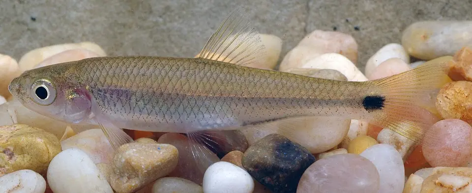 Blacktail Shiner Cyprinella venusta
-
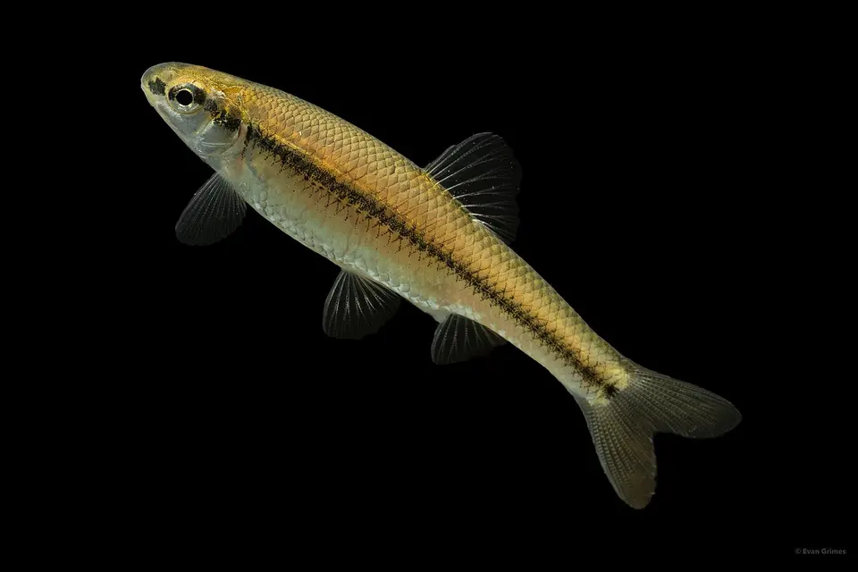 Bluntnose Minnow Pimephales notatus
-
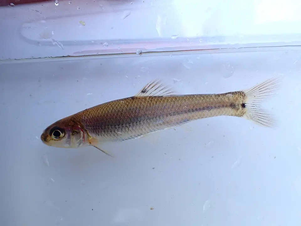 Bullhead Minnow Pimephales vigilax
-
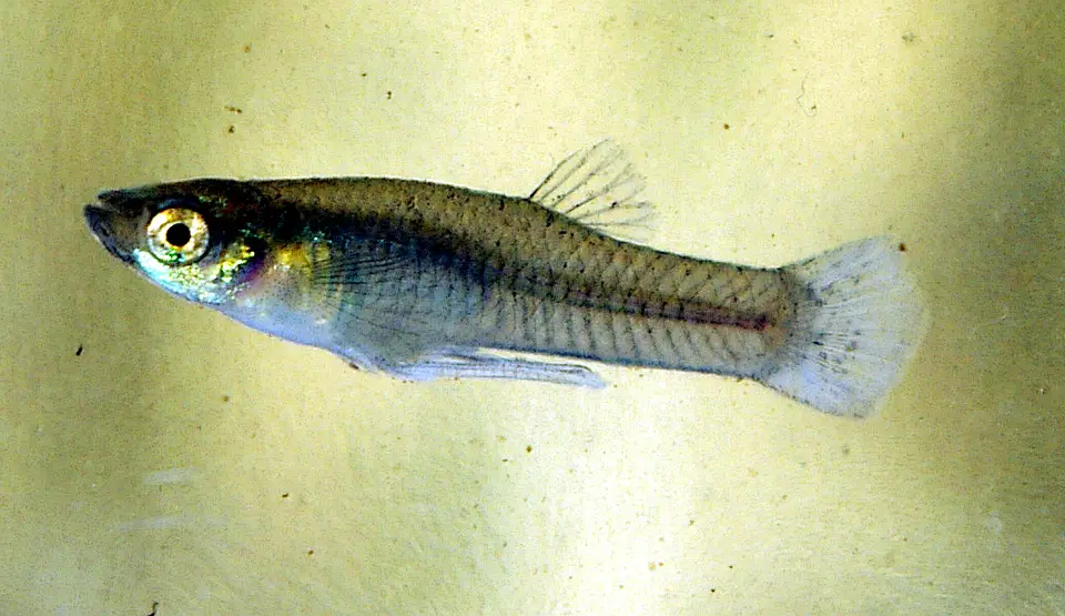 Western Mosquitofish Gambusia affinis
-
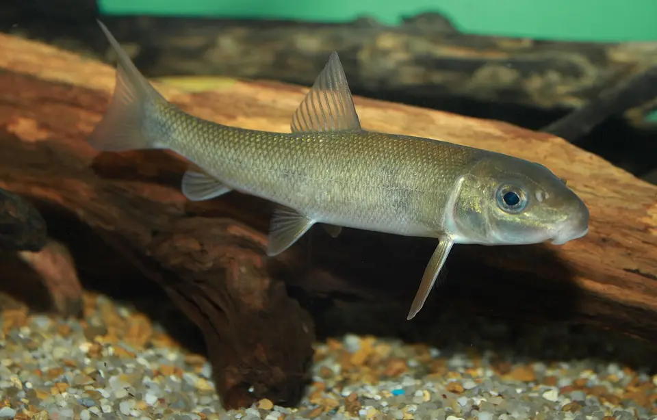 White Sucker Catostomus commersonii
-
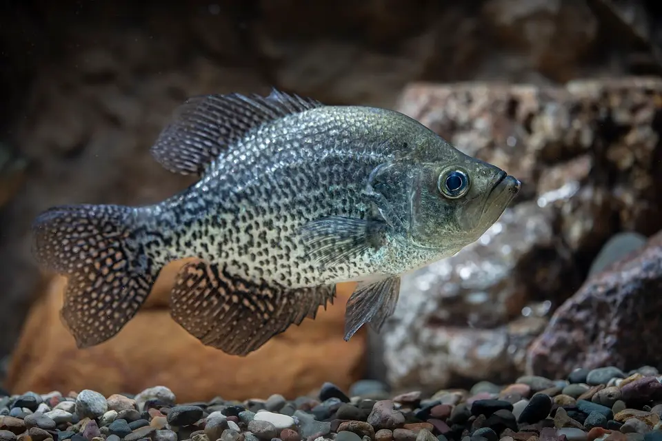 Black Crappie Pomoxis nigromaculatus
-
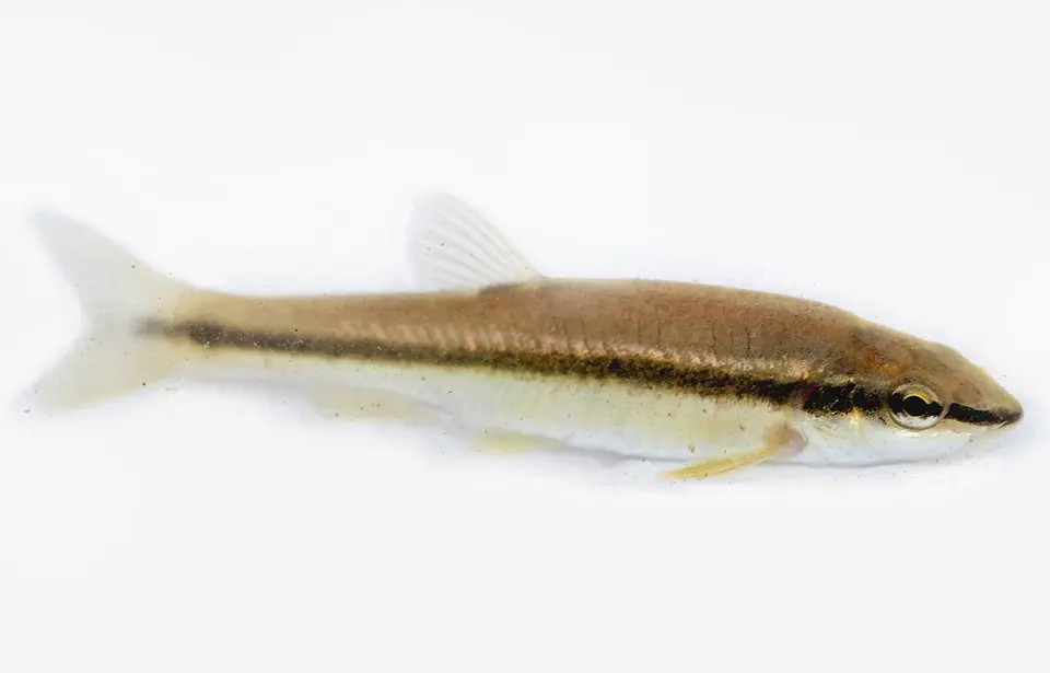 Blacknose Dace Rhinichthys atratulus
-
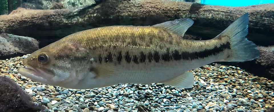 Florida Bass Micropterus salmoides
-
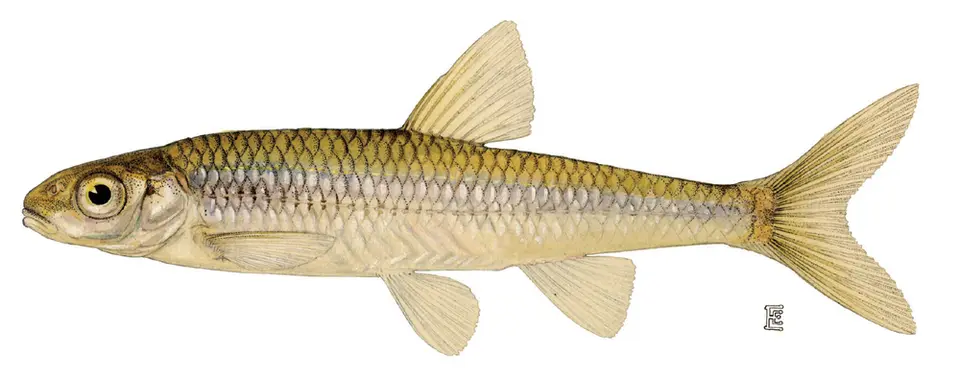 Mimic Shiner Notropis volucellus
-
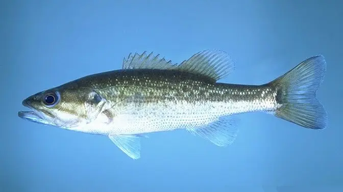 Spotted Bass Micropterus punctulatus
-
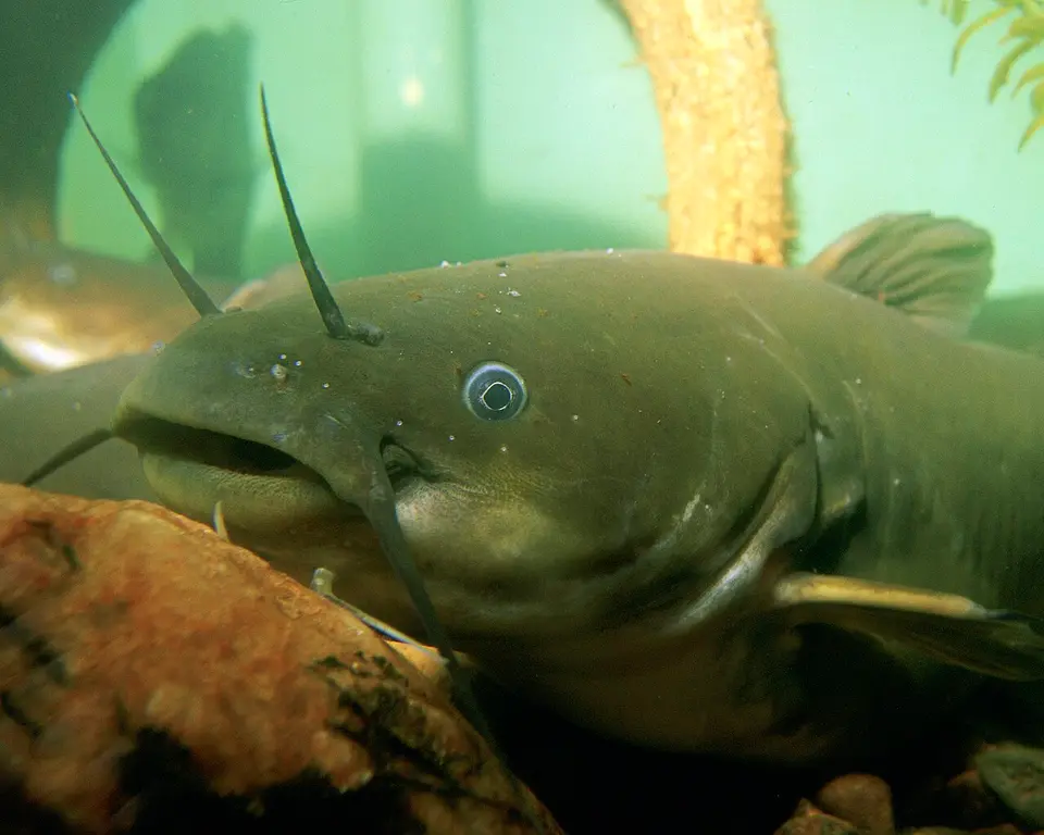 Yellow Bullhead Ameiurus natalis
-
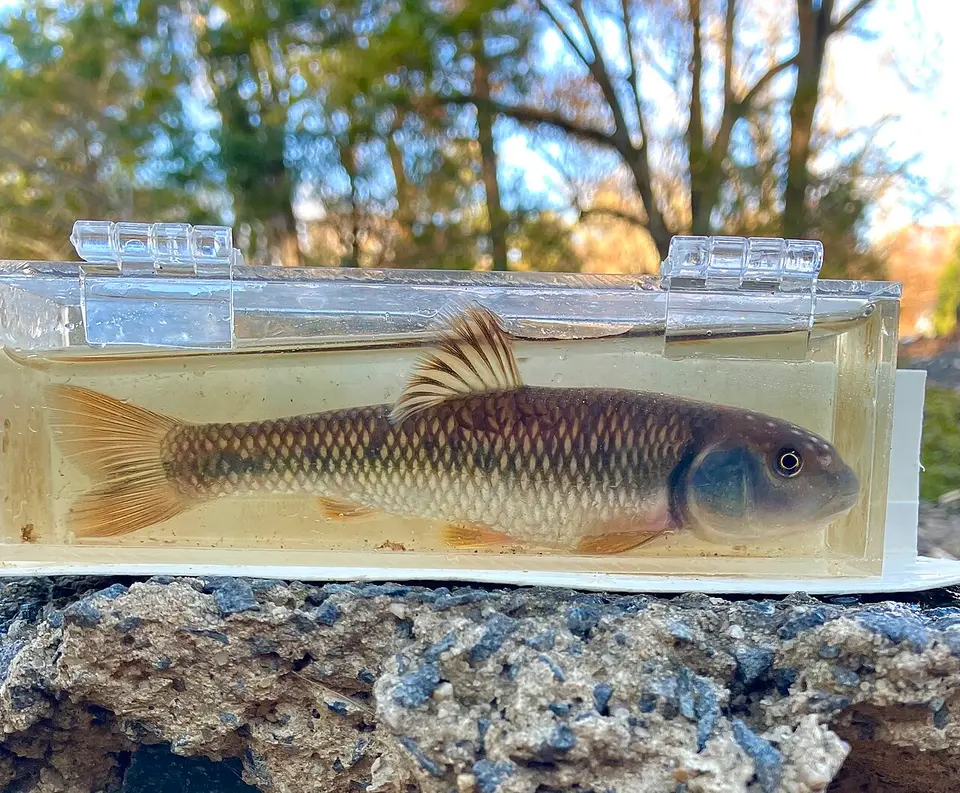 Bluehead Chub Nocomis leptocephalus
-
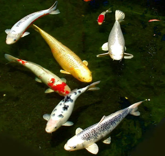 Common Carp Cyprinus carpio
-
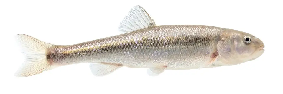 Creek Chub Semotilus atromaculatus
-
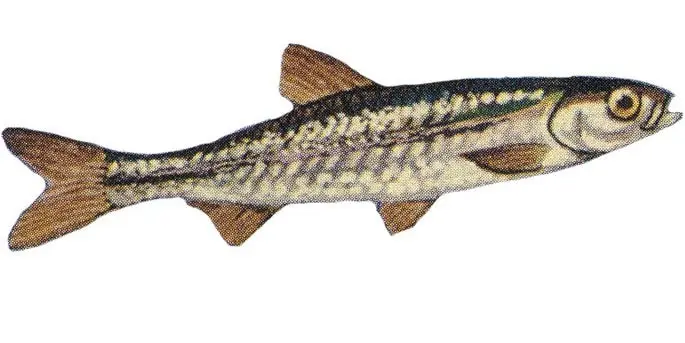 Emerald Shiner Notropis atherinoides
-
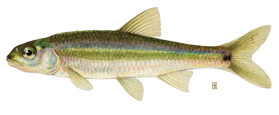 Spottail Shiner Notropis hudsonius
-
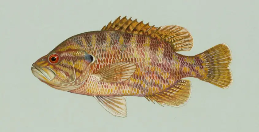 Warmouth Lepomis gulosus
-
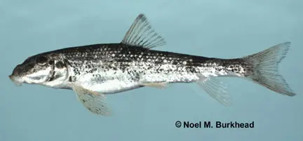 Alabama Hog Sucker Hypentelium etowanum
-
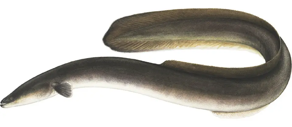 American Eel Anguilla rostrata
-
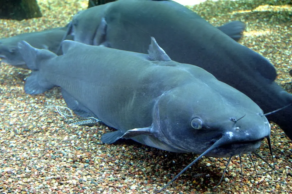 Channel Catfish Ictalurus punctatus
-
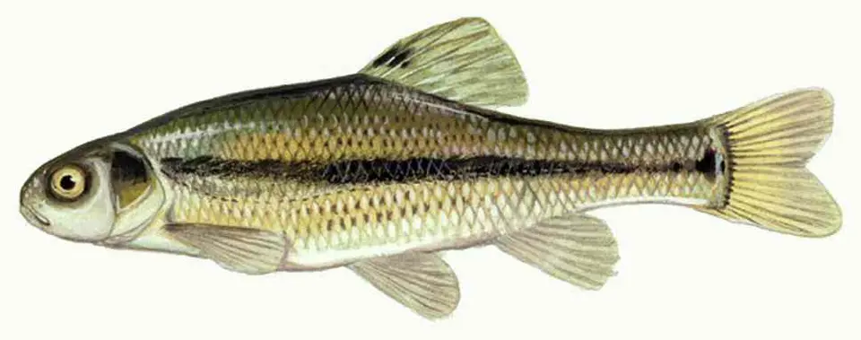 Fathead Minnow Pimephales promelas
-
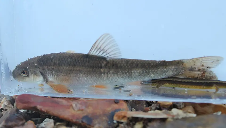 Largescale Stoneroller Campostoma oligolepis
-
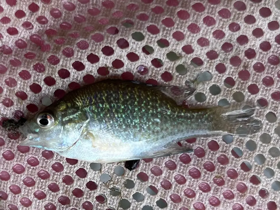 Lepomis aquilensis
-
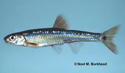 Mirror Shiner Notropis spectrunculus
-
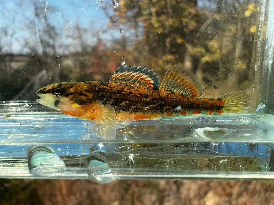 Orangethroat darter Etheostoma spectabile
-
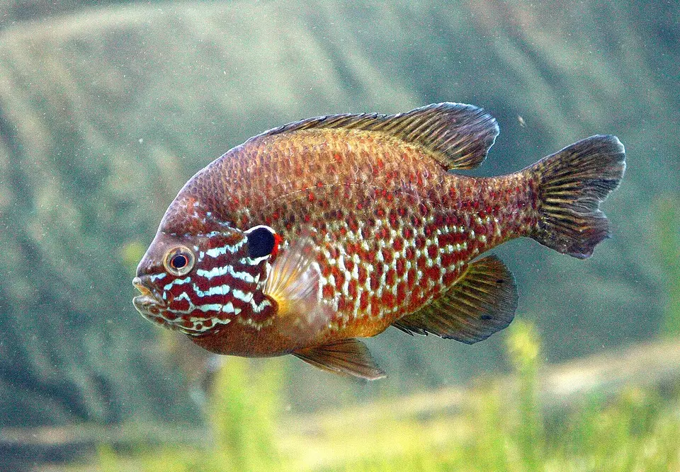 Pumpkinseed Lepomis gibbosus
-
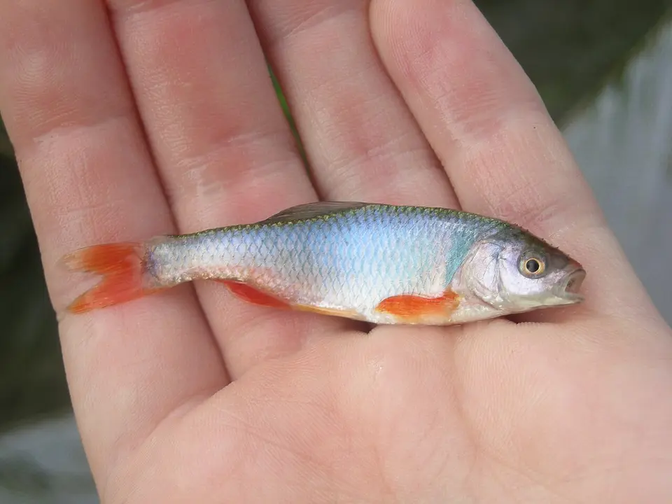 Red Shiner Cyprinella lutrensis
-
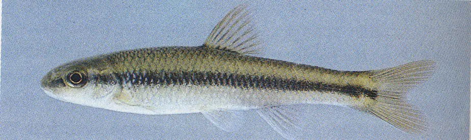 River Chub Nocomis micropogon
-
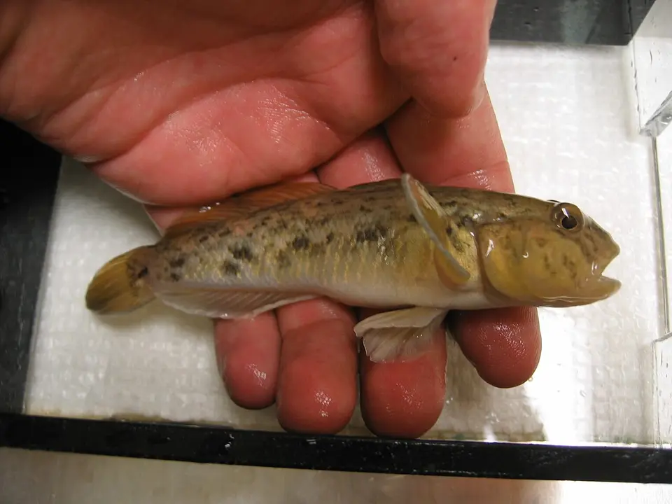 Round Goby Neogobius melanostomus
-
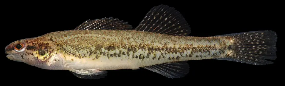 Swamp Darter Etheostoma fusiforme
-
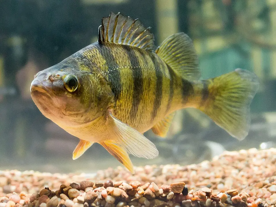 Yellow Perch Perca flavescens
-
 Banded Killifish Fundulus diaphanus
-
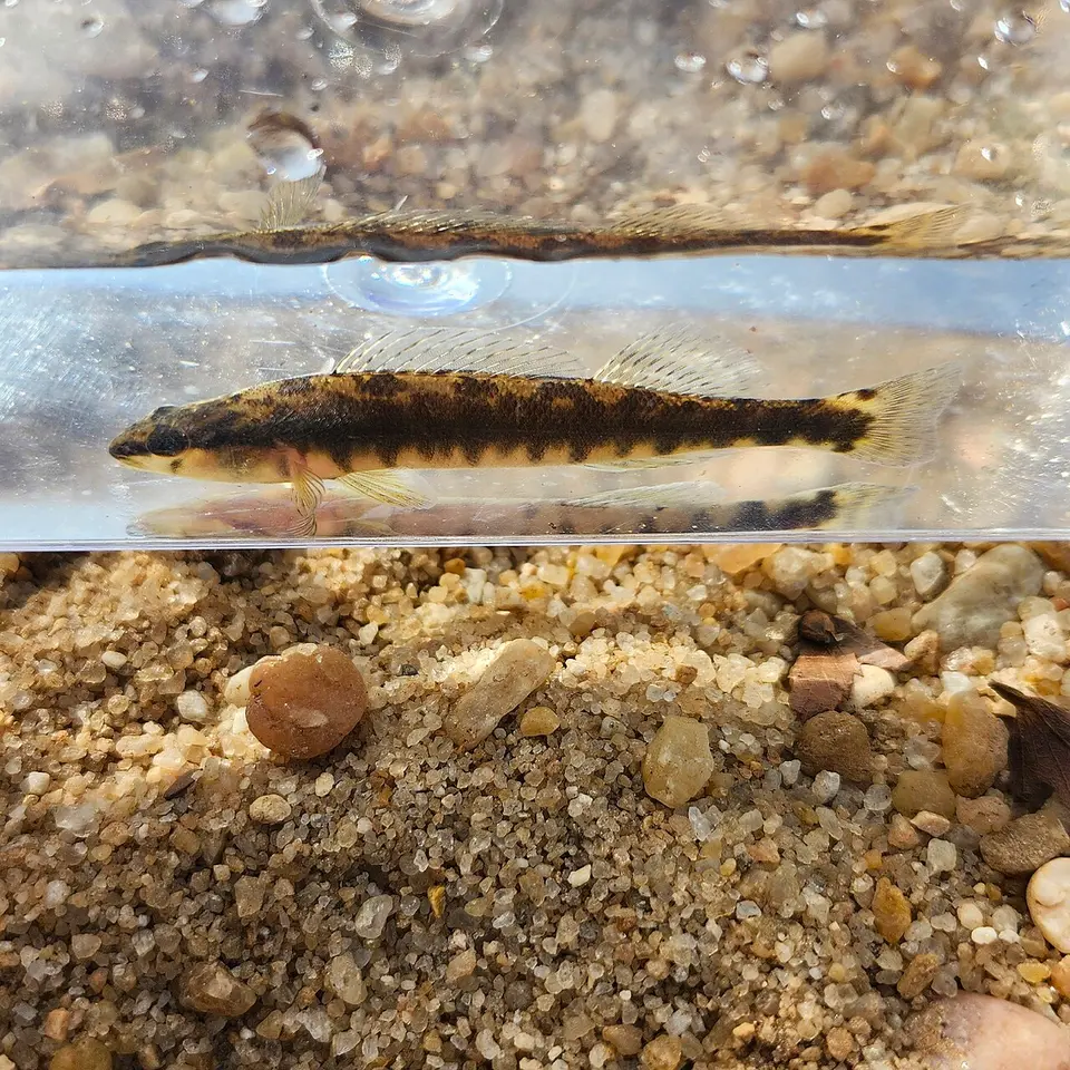 Blackbanded Darter Percina nigrofasciata
-
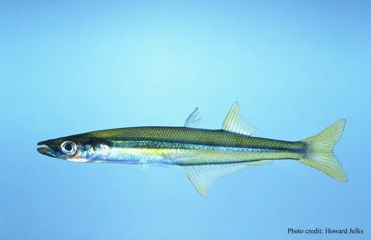 Brook Silverside Labidesthes sicculus
-
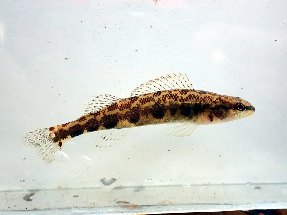 Dusky Darter Percina sciera
-
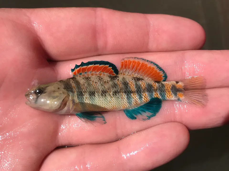 Etheostoma pulchellum
-
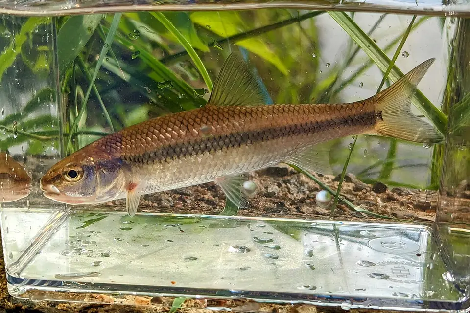 Fallfish Semotilus corporalis
-
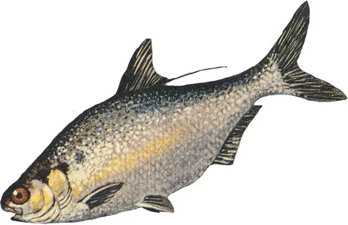 Gizzard Shad Dorosoma cepedianum
-
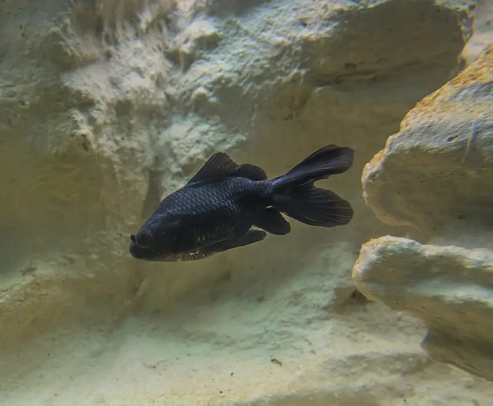 Goldfish Carassius auratus
-
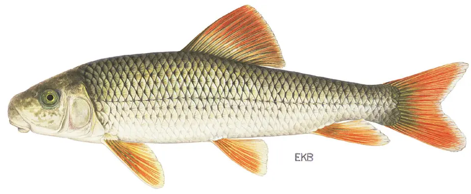 Greater redhorse Moxostoma valenciennesi
-
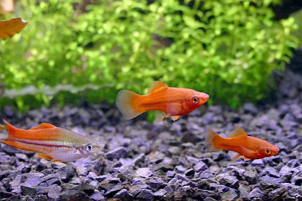 Green Swordtail Xiphophorus hellerii
-
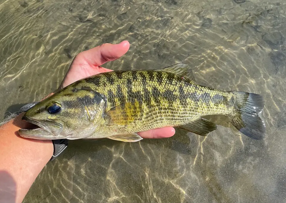 Guadalupe Bass Micropterus treculii
-
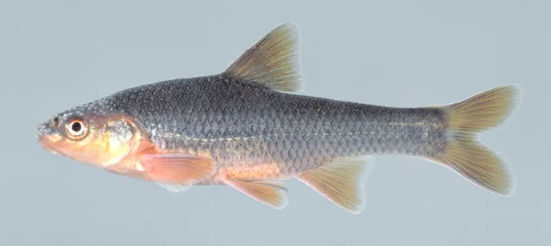 Highback Chub Hybopsis hypsinotus
-
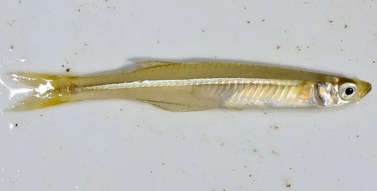 Inland Silverside Menidia beryllina
-
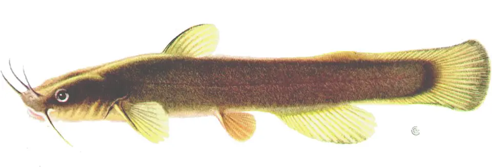 Margined Madtom Noturus insignis
-
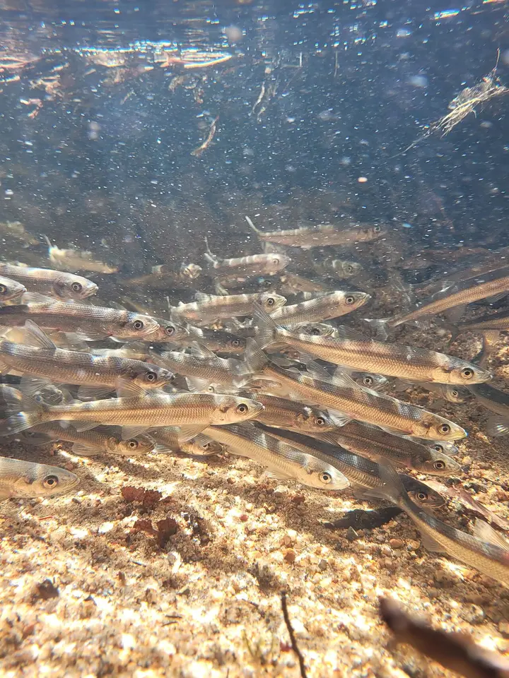 Rainbow Smelt Osmerus mordax
-
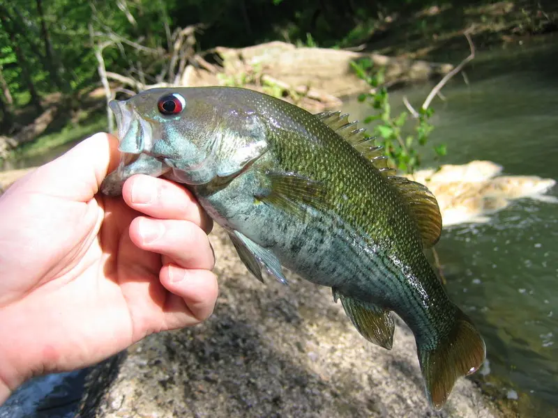 Redeye Bass (sensu lato) Micropterus coosae
-
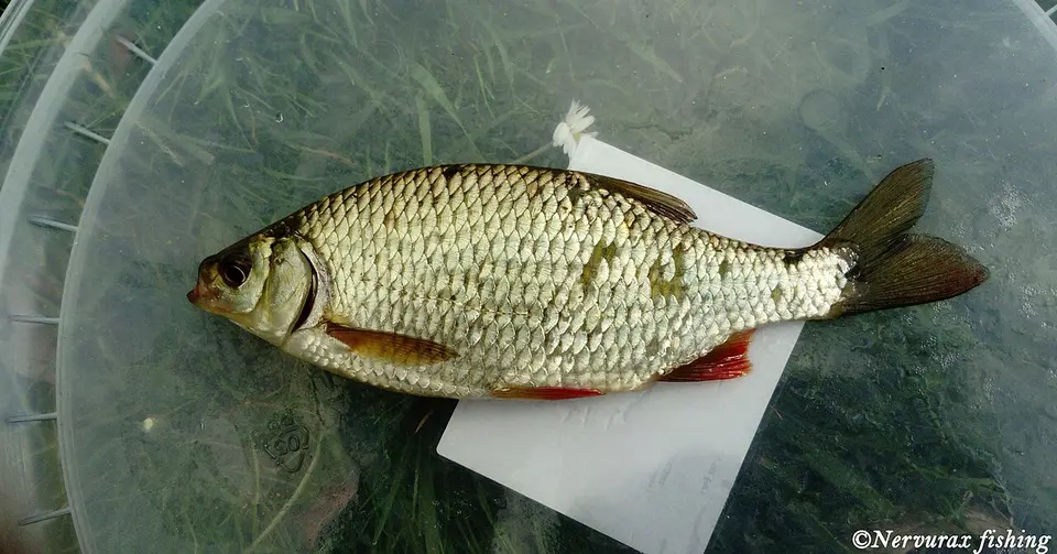 Rudd Scardinius erythrophthalmus
-
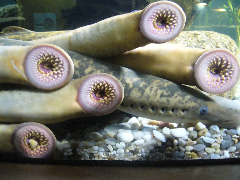 Sea Lamprey Petromyzon marinus
-
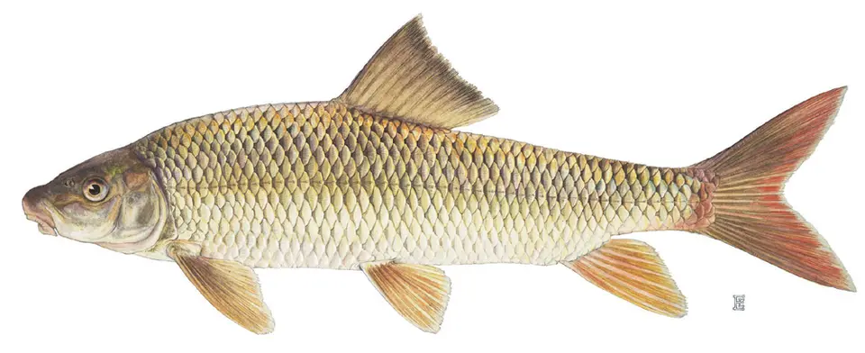 Shorthead Redhorse Moxostoma macrolepidotum
-
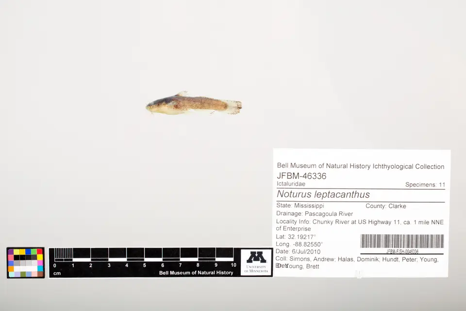 Speckled Madtom Noturus leptacanthus
-
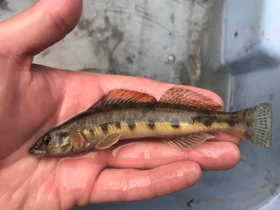 Texas Logperch Percina carbonaria
-
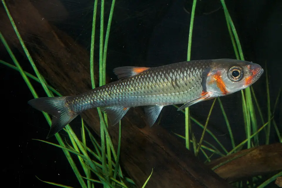 Warpaint Shiner Luxilus coccogenis
-
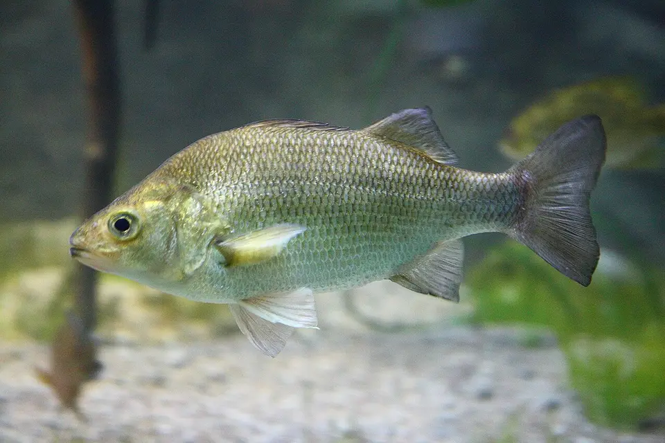 White Perch Morone americana
- No compatible photo Alabama Bass Micropterus henshalli
-
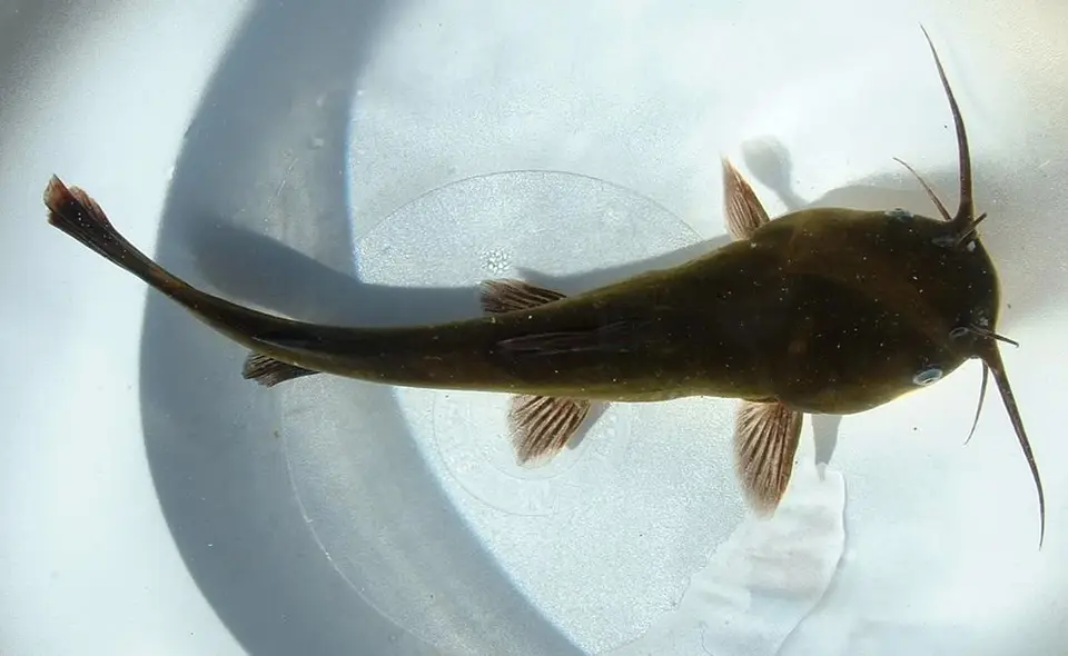 Black Bullhead Ameiurus melas
-
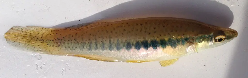 Blackspotted Topminnow Fundulus olivaceus
-
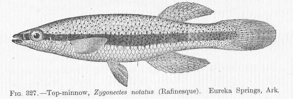 Blackstripe Topminnow Fundulus notatus
- No compatible photo Carolina Fantail Darter Etheostoma brevispinum
-
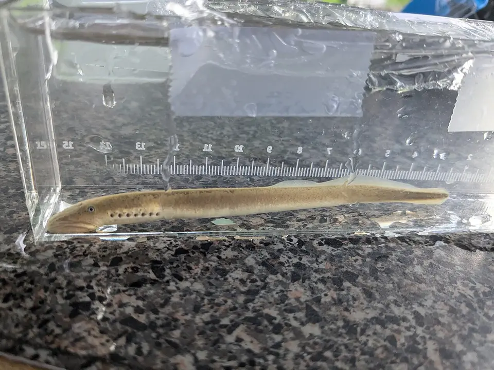 Chestnut Lamprey Ichthyomyzon castaneus
-
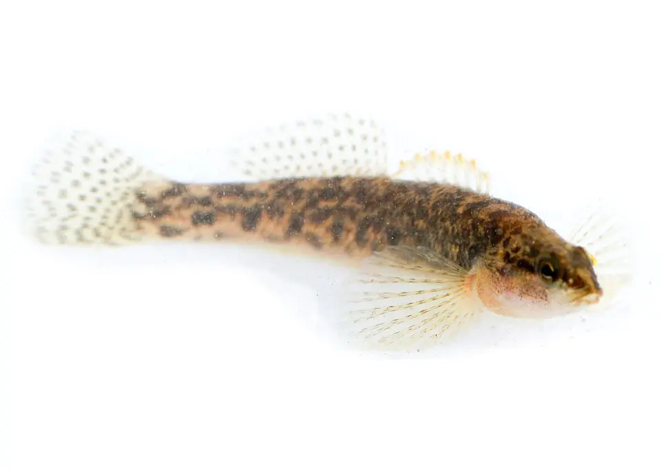 Fantail Darter Etheostoma flabellare
- No compatible photo Fieryblack Shiner Cyprinella pyrrhomelas
-
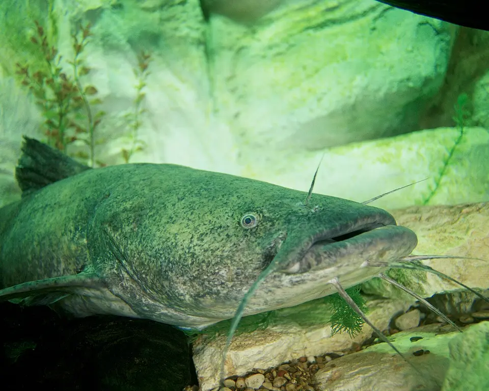 Flathead Catfish Pylodictis olivaris
-
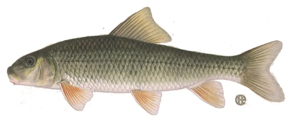 Golden Redhorse Moxostoma erythrurum
-
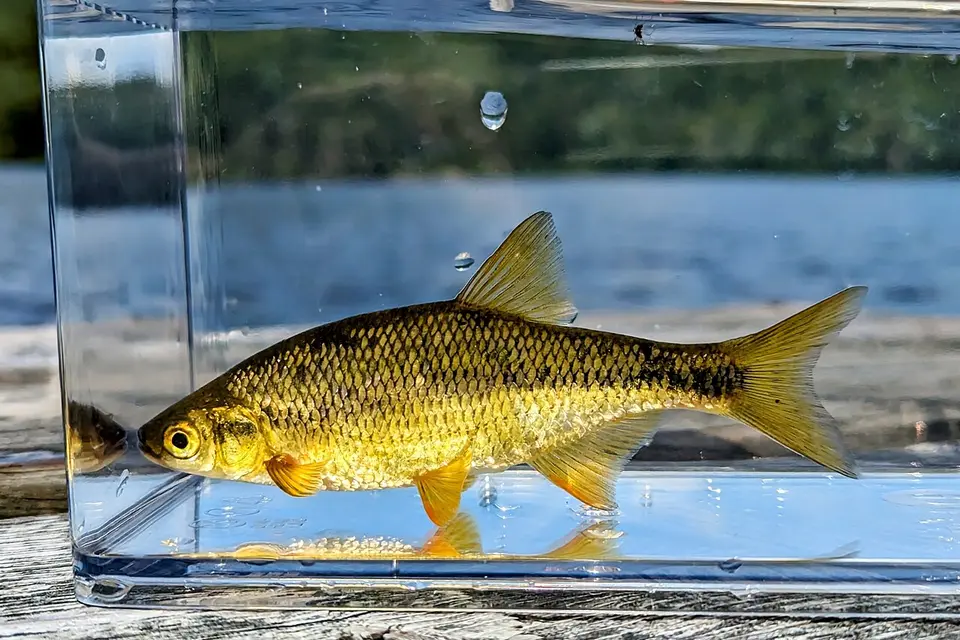 Golden Shiner Notemigonus crysoleucas
-
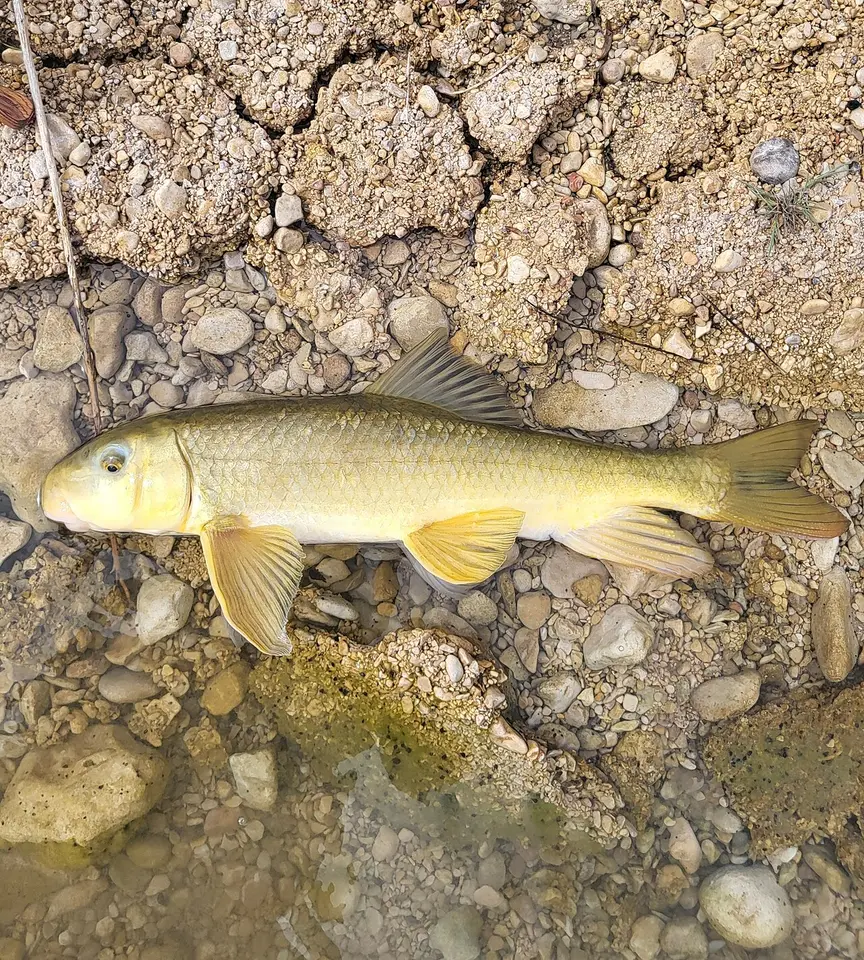 Gray Redhorse Moxostoma congestum
-
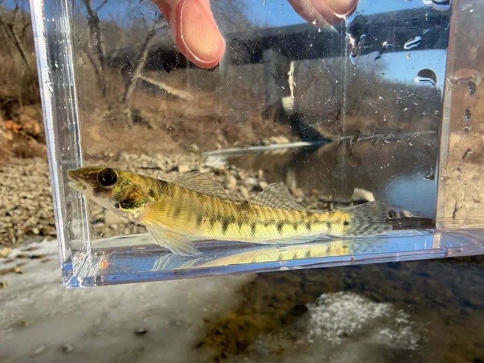 Logperch Percina caprodes
-
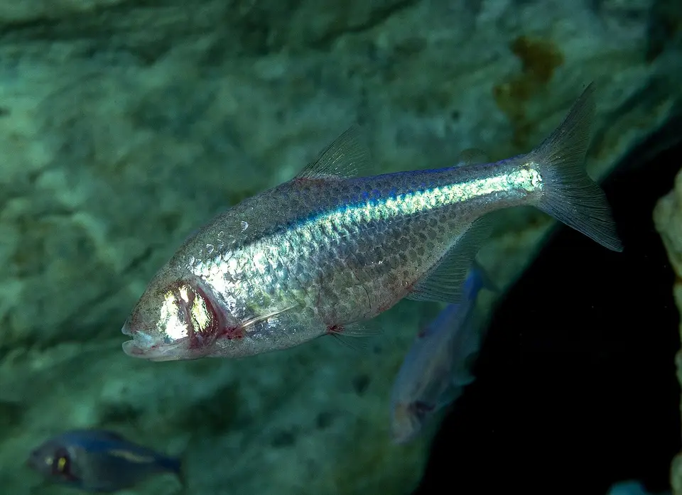 Mexican Tetra Astyanax mexicanus
-
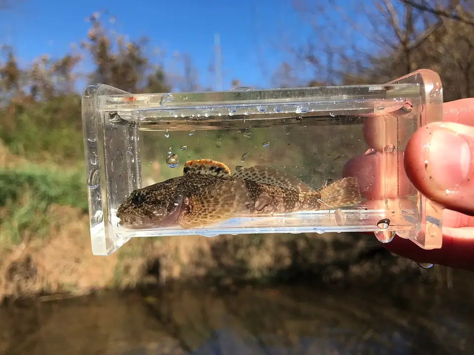 Mottled Sculpin Cottus bairdii
-
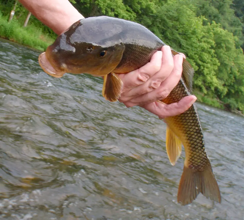 Moxostoma duquesnii
-
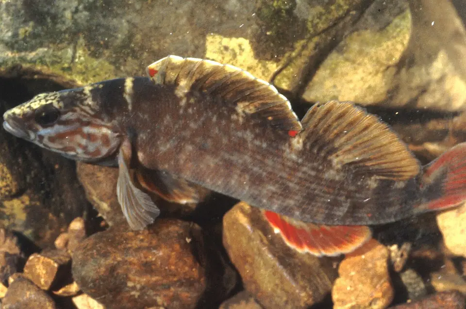 Nothonotus aquali
-
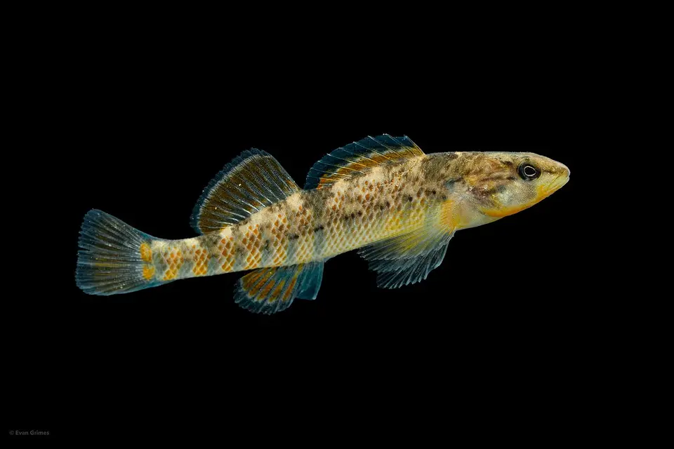 Rainbow Darter Etheostoma caeruleum
-
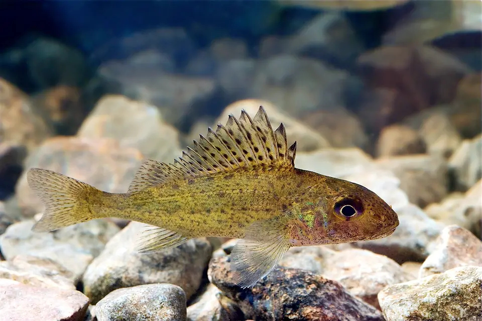 Ruffe Gymnocephalus cernua
-
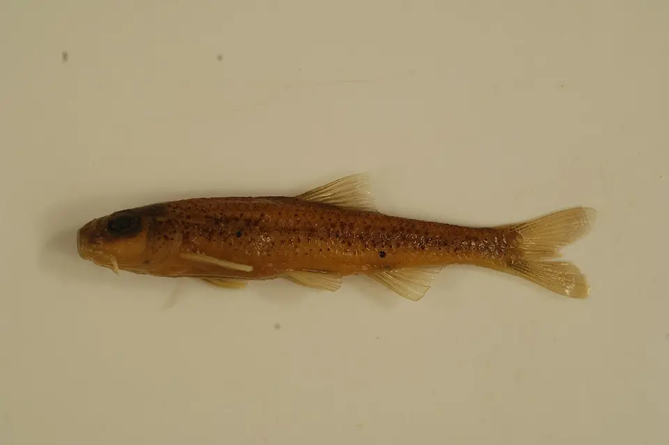 Shoal chub Macrhybopsis hyostoma
-
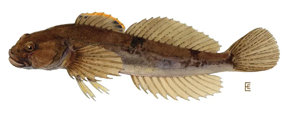 Slimy Sculpin Cottus cognatus
-
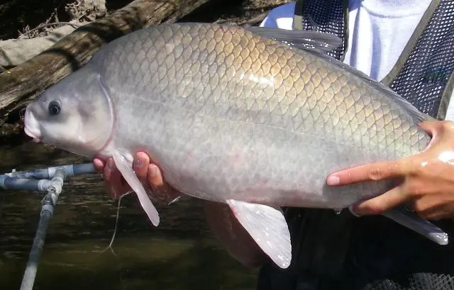 Smallmouth Buffalo Ictiobus bubalus
-
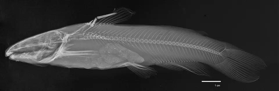 Snail Bullhead Ameiurus brunneus
-
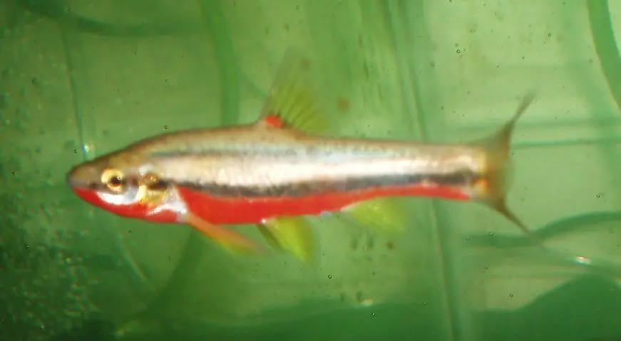 Southern redbelly dace Chrosomus erythrogaster
-
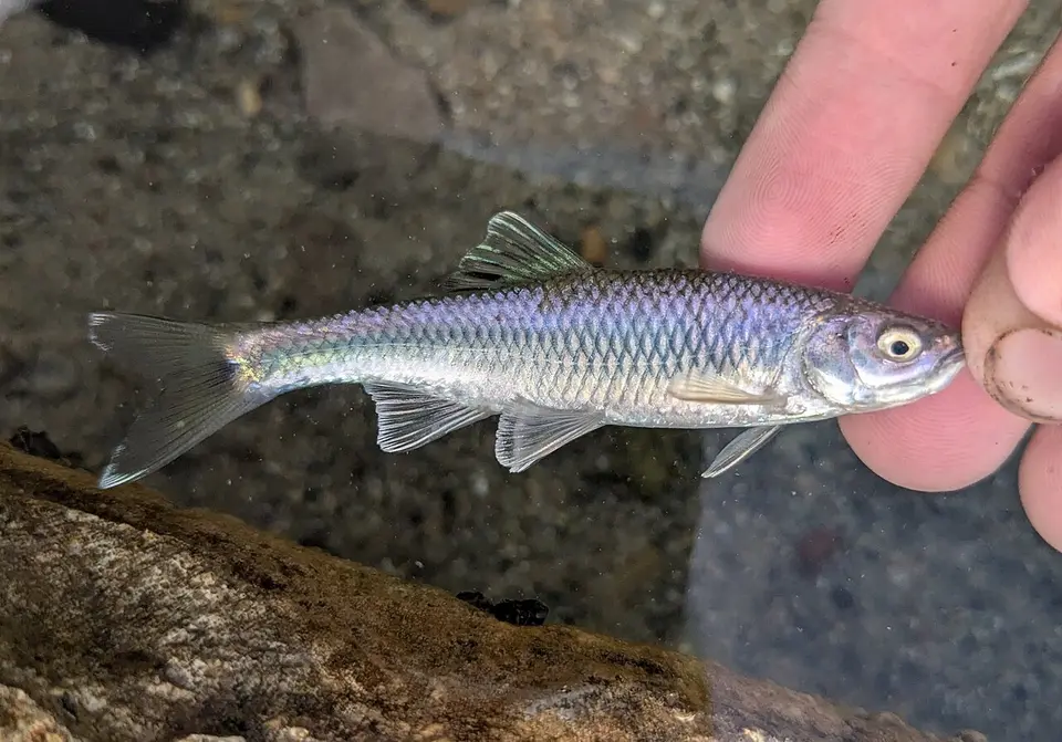 Spotfin Shiner Cyprinella spiloptera
- No compatible photo Stripetail Darter Etheostoma kennicotti
-
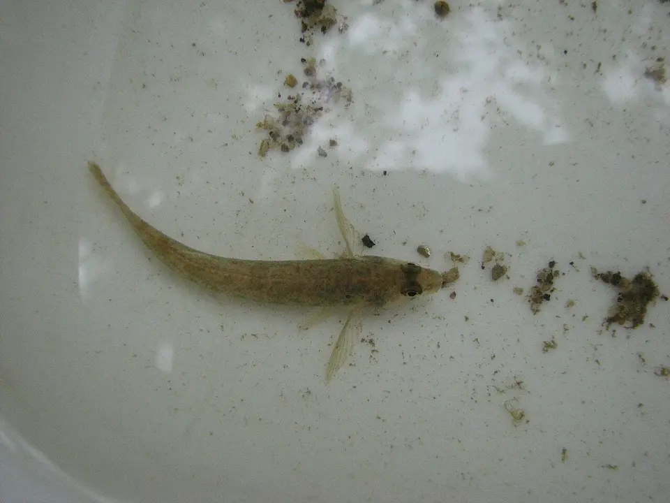 Tessellated Darter Etheostoma olmstedi
-
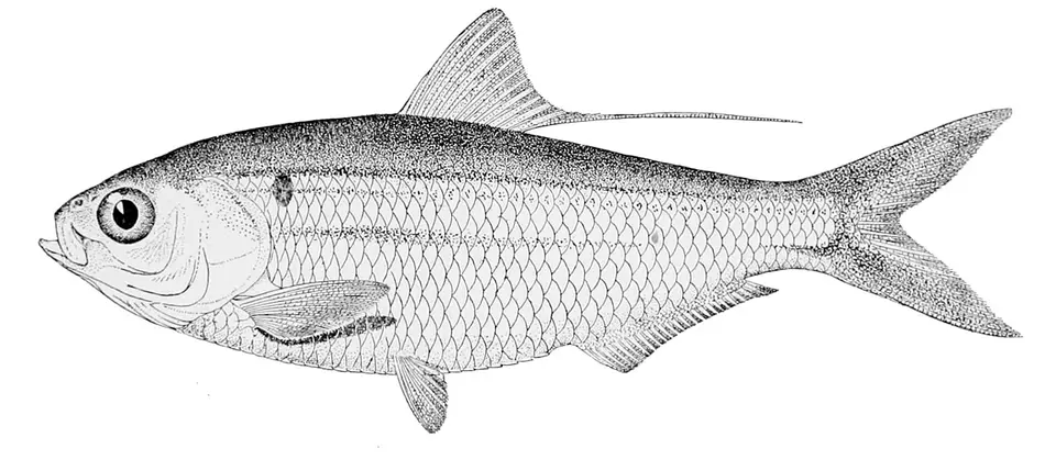 Threadfin Shad Dorosoma petenense
-
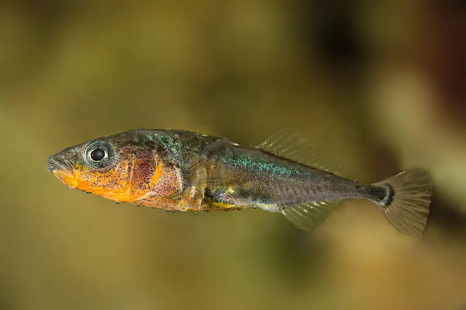 Threespine Stickleback Gasterosteus aculeatus
-
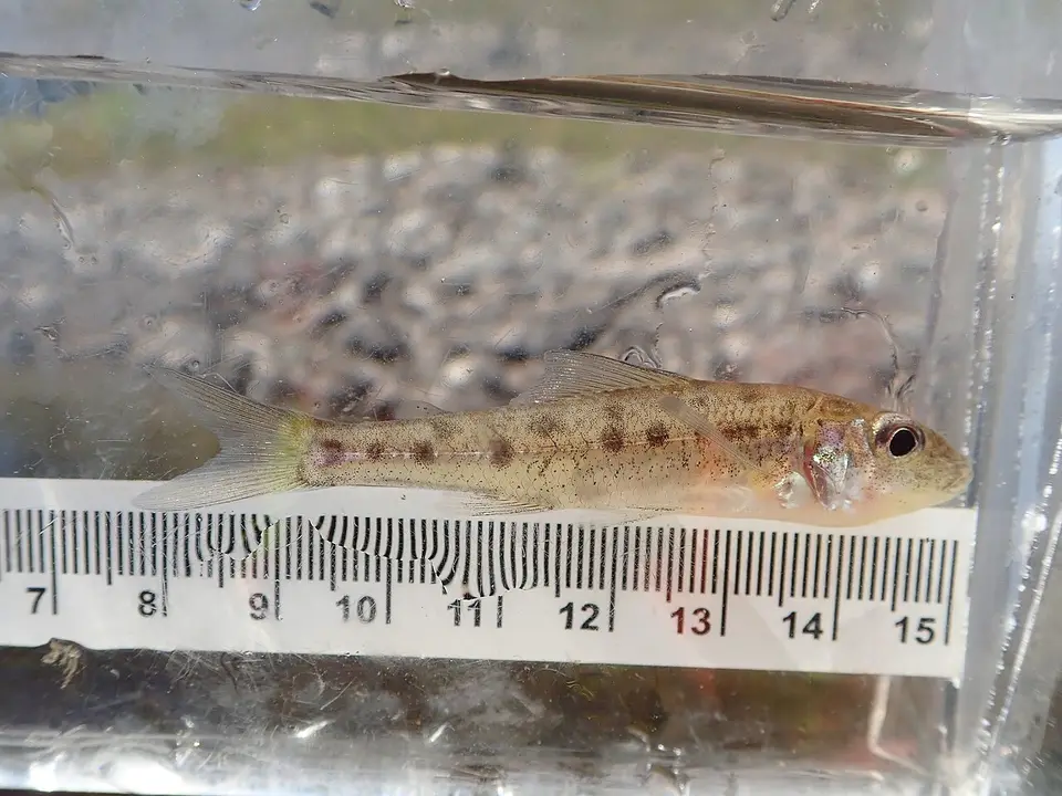 Trout-perch Percopsis omiscomaycus
-
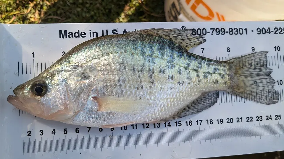 White Crappie Pomoxis annularis
- No compatible photo Alabama Shiner Cyprinella callistia
-
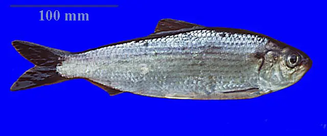 Alewife Alosa pseudoharengus
-
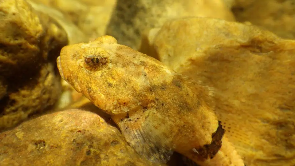 Banded Sculpin Cottus carolinae
-
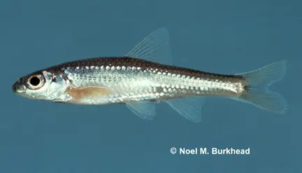 Bigeye Chub Hybopsis amblops
-
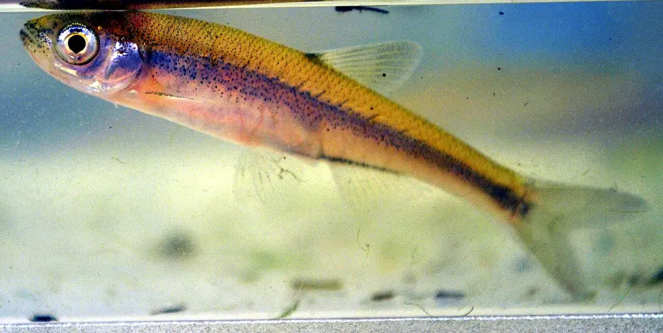 Bigeye Shiner Notropis boops
-
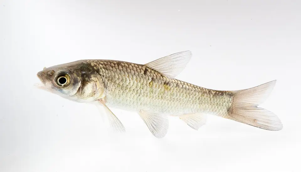 Black Carp Mylopharyngodon piceus
-
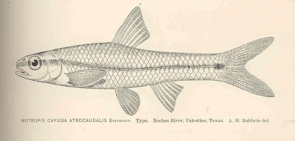 Blackspot Shiner Notropis atrocaudalis
-
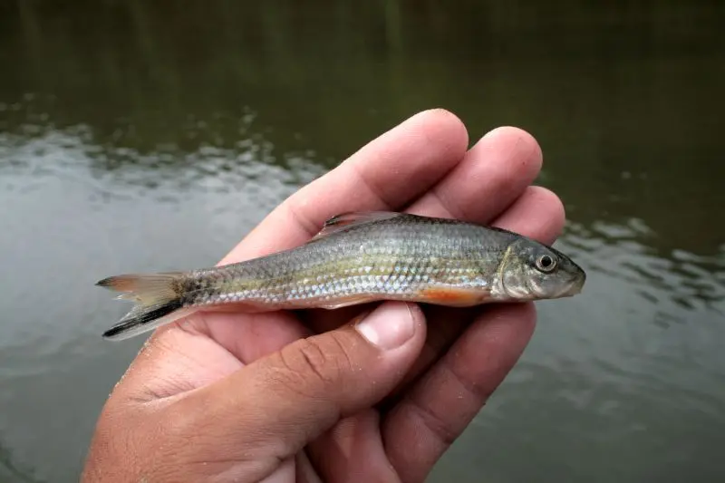 Blacktail Redhorse Moxostoma poecilurum
- No compatible photo Blacktip Shiner Lythrurus atrapiculus
-
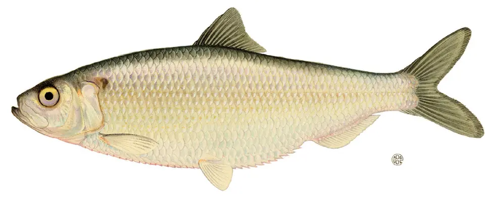 Blueback Herring Alosa aestivalis
- No compatible photo Bluefin Stoneroller Campostoma pauciradii
- No compatible photo Brighteye Darter Etheostoma lynceum
-
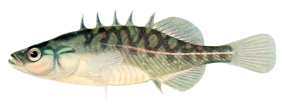 Brook Stickleback Culaea inconstans
-
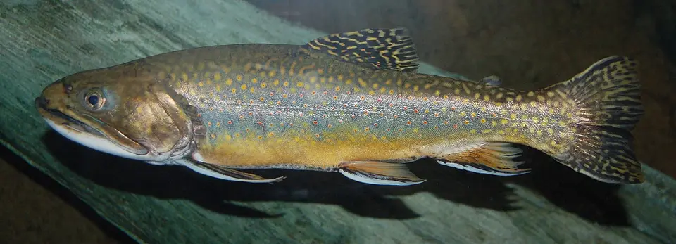 Brook Trout Salvelinus fontinalis
- No compatible photo Chain Pickerel Esox niger
-
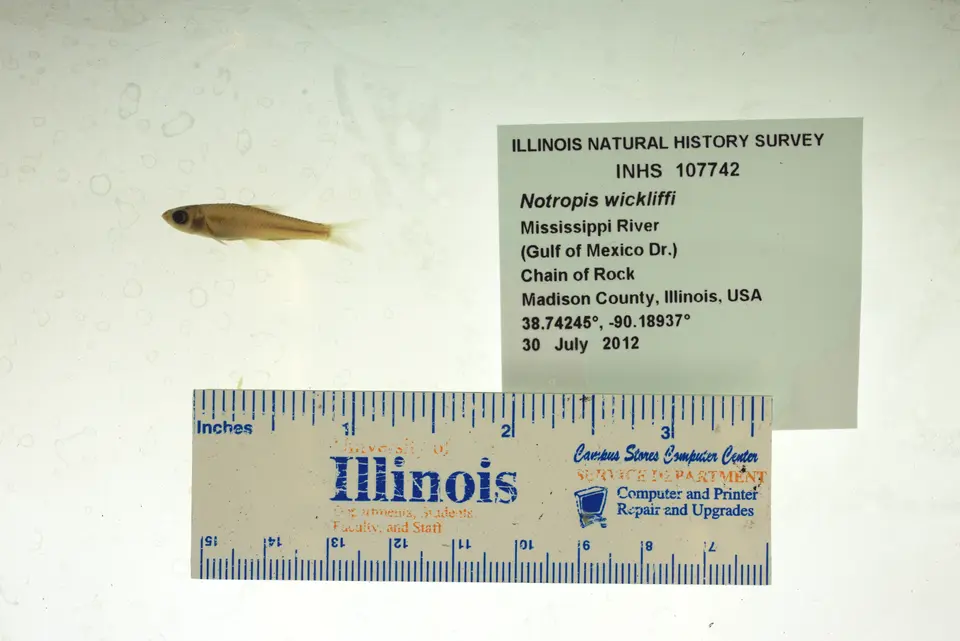 Channel Shiner Notropis wickliffi
- No compatible photo Chattahoochee Sculpin Cottus chattahoochee
- No compatible photo Clear Chub Hybopsis winchelli
-
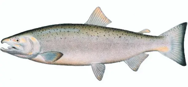 Coho Salmon Oncorhynchus kisutch
-
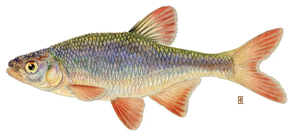 Common Shiner Luxilus cornutus
-
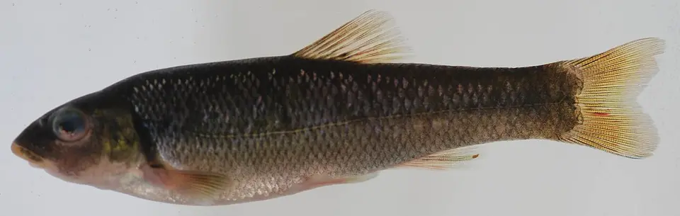 Cutlip Minnow Exoglossum maxillingua
-
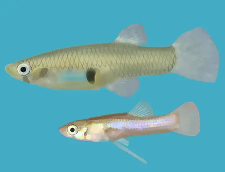 Eastern Mosquitofish Gambusia holbrooki
- No compatible photo Emerald Darter Etheostoma baileyi
- No compatible photo Etheostoma cyanoprosopum
-
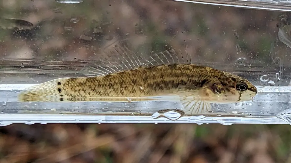 Fringed Darter Etheostoma crossopterum
-
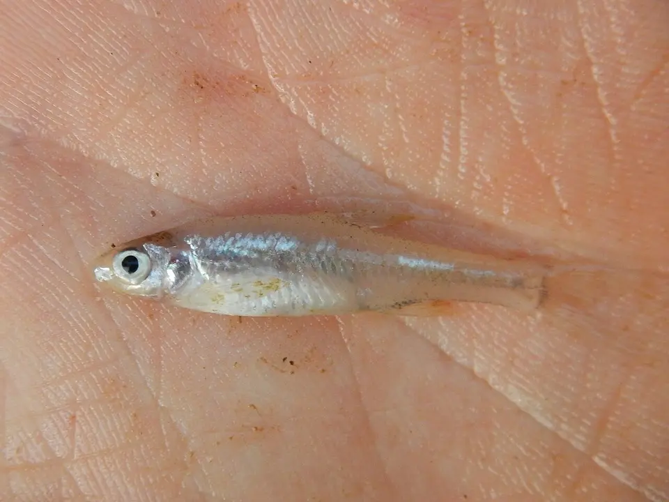 Ghost Shiner Notropis buchanani
- No compatible photo Greater Jumprock Moxostoma lachneri
-
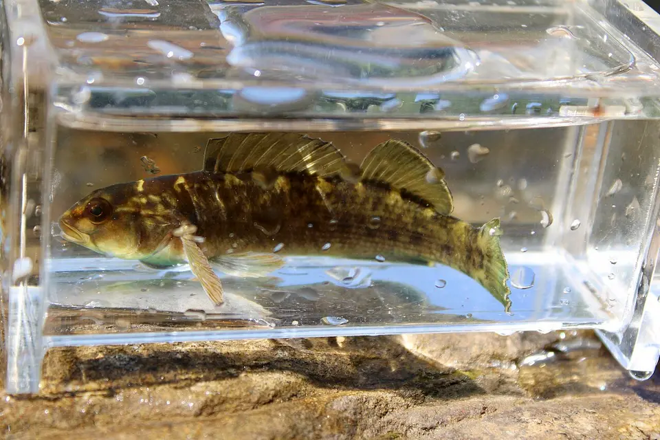 Greenfin Darter Etheostoma chlorobranchium
-
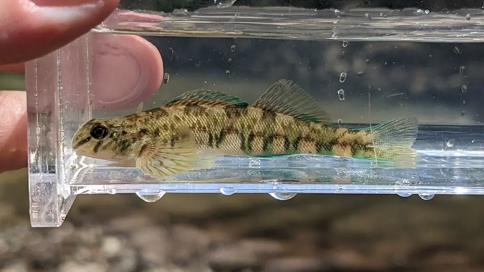 Greenside Darter Etheostoma blennioides
-
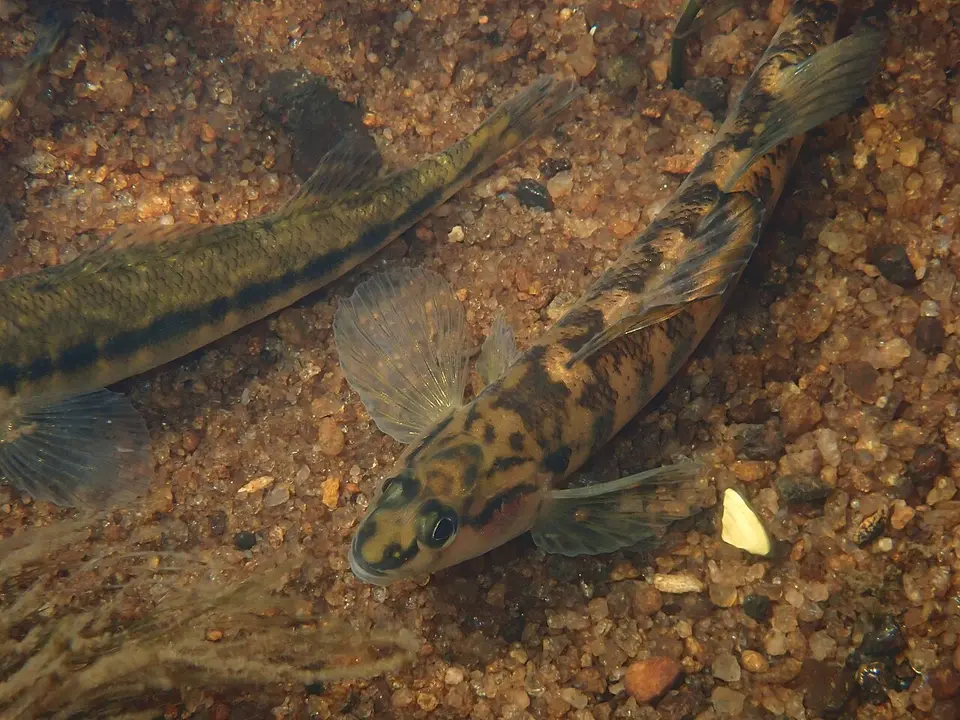 Halloween Darter Percina crypta
-
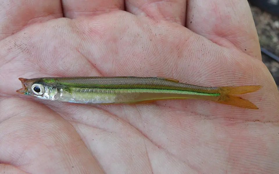 Labidesthes vanhyningi
-
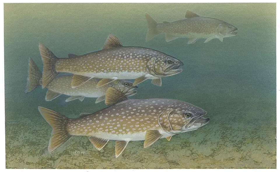 Lake Trout Salvelinus namaycush
-
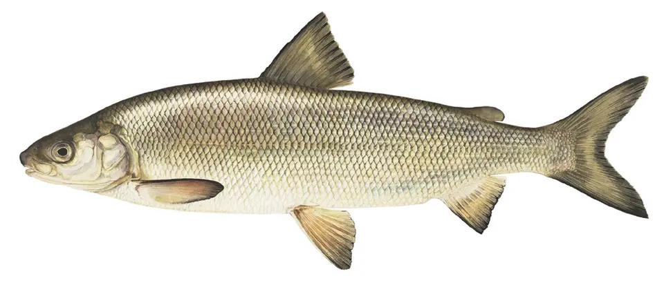 Lake Whitefish Coregonus clupeaformis
- No compatible photo Lampetra pacifica
-
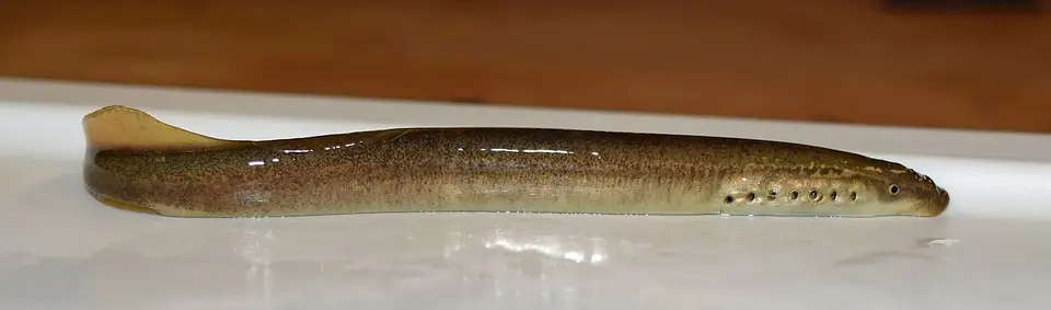 Least Brook Lamprey Lampetra aepyptera
- No compatible photo Longjaw Minnow Ericymba amplamala
- No compatible photo Micropterus chattahoochae
- No compatible photo Micropterus warriorensis
-
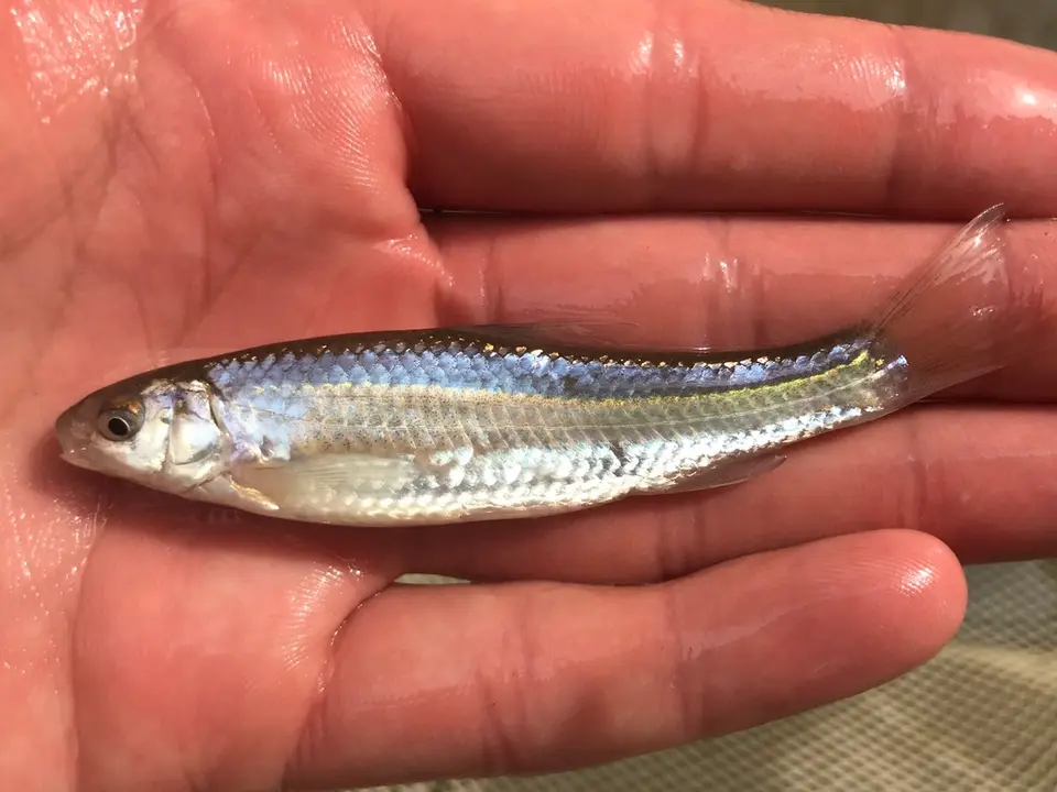 Mississippi Silvery Minnow Hybognathus nuchalis
- No compatible photo Mountain Madtom Noturus eleutherus
-
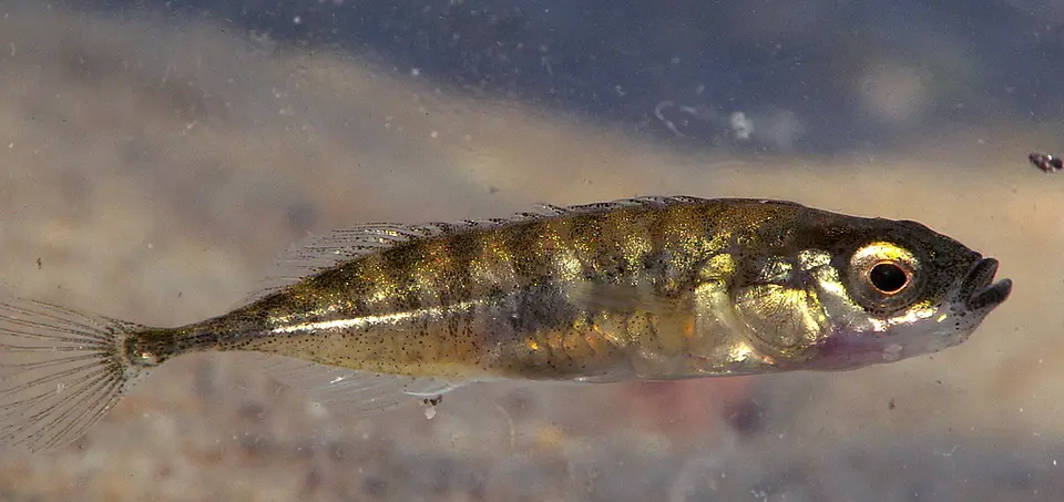 Ninespine Stickleback Pungitius pungitius
-
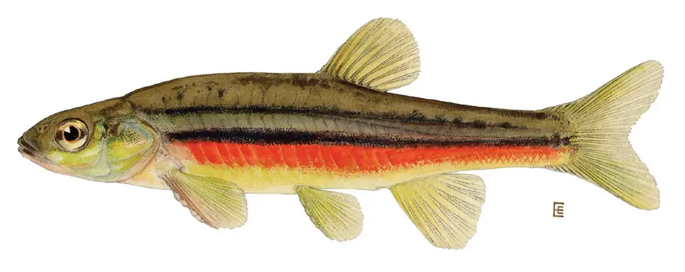 Northern Redbelly Dace Chrosomus eos
-
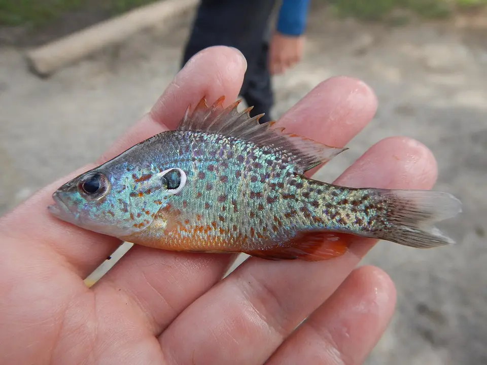 Orangespotted Sunfish Lepomis humilis
-
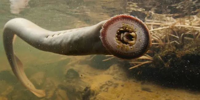 Pacific lamprey Entosphenus tridentatus
- No compatible photo Piedmont Darter Percina crassa
-
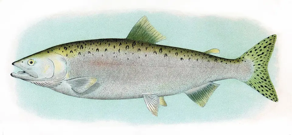 Pink Salmon Oncorhynchus gorbuscha
-
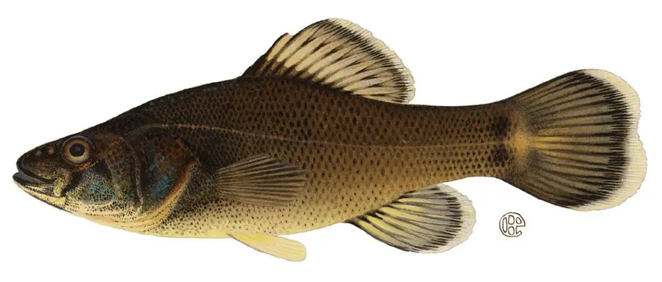 Pirate Perch Aphredoderus sayanus
- No compatible photo Pretty Shiner Lythrurus bellus
-
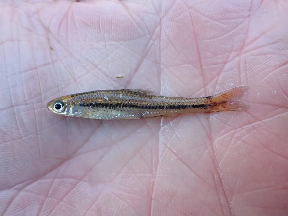 Pugnose Minnow Opsopoeodus emiliae
-
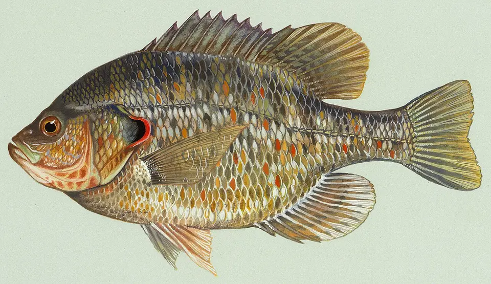 Redear Sunfish Lepomis microlophus
-
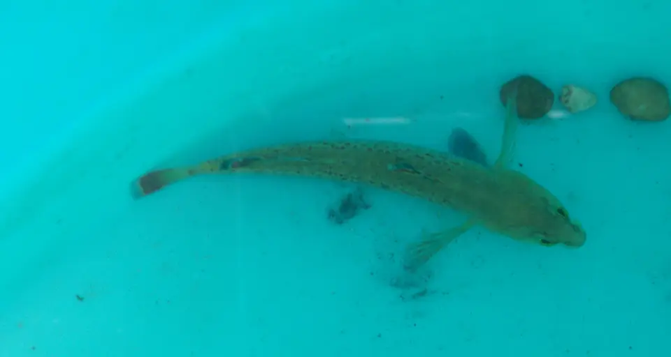 Redfin Darter Etheostoma whipplei
-
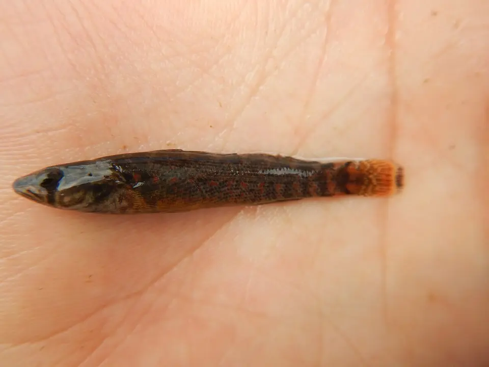 Redspot Darter Etheostoma artesiae
-
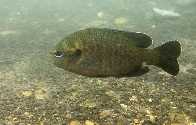 Redspotted Sunfish Lepomis miniatus
-
 Riffle Sculpin Cottus gulosus
-
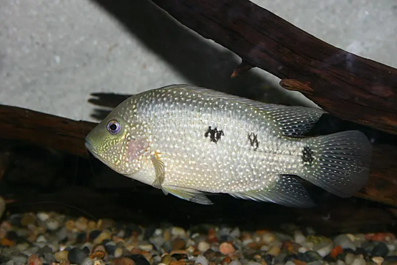 Rio Grande Cichlid Herichthys cyanoguttatus
- No compatible photo Rio Grande Sucker Catostomus plebeius
-
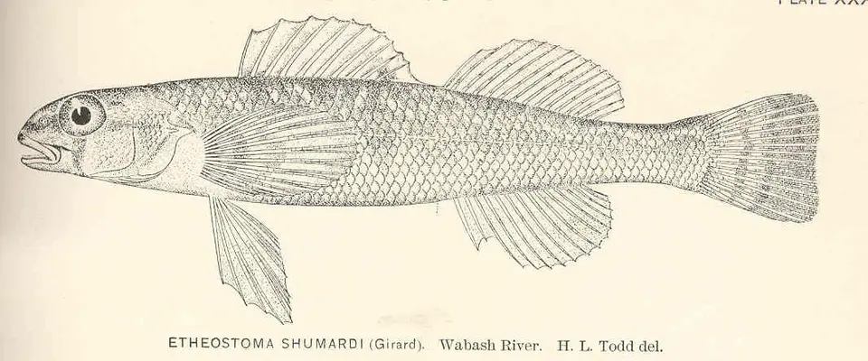 River Darter Percina shumardi
-
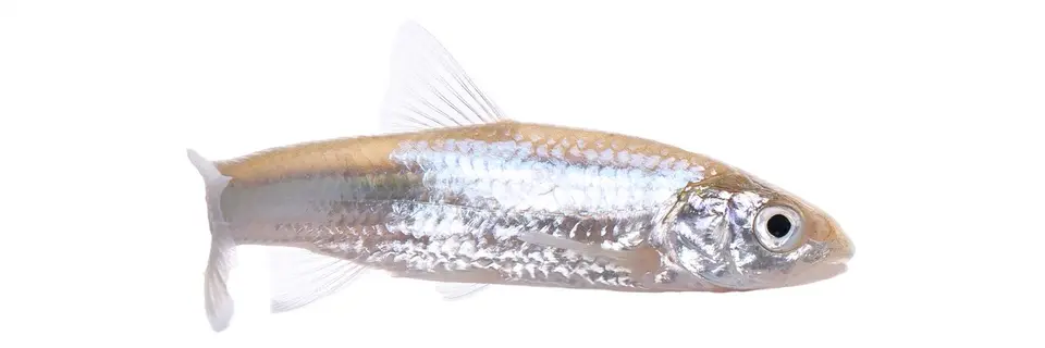 River Shiner Notropis blennius
-
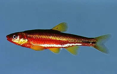 Saffron Shiner Notropis rubricroceus
-
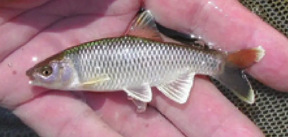 Satinfin Shiner Cyprinella analostana
-
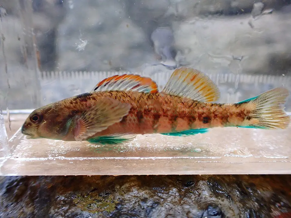 Seagreen Darter Etheostoma thalassinum
- No compatible photo Semotilus thoreauianus
-
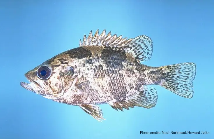 Shadow Bass Ambloplites ariommus
-
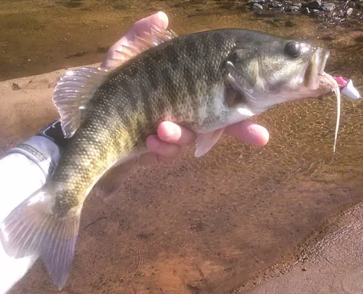 Shoal Bass Micropterus cataractae
- No compatible photo Sicklefin Chub Macrhybopsis meeki
- No compatible photo Silver Chub Macrhybopsis storeriana
-
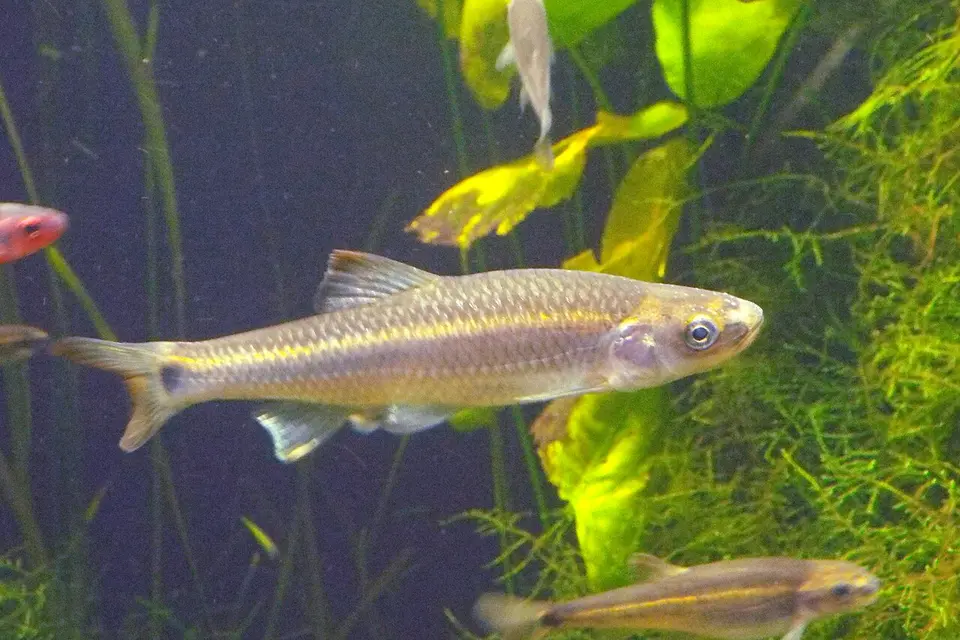 Silverstripe Shiner Notropis stilbius
- No compatible photo Slenderhead Darter Percina phoxocephala
- No compatible photo sooty-banded darter Percina westfalli
- No compatible photo Southern Brook Lamprey Ichthyomyzon gagei
-
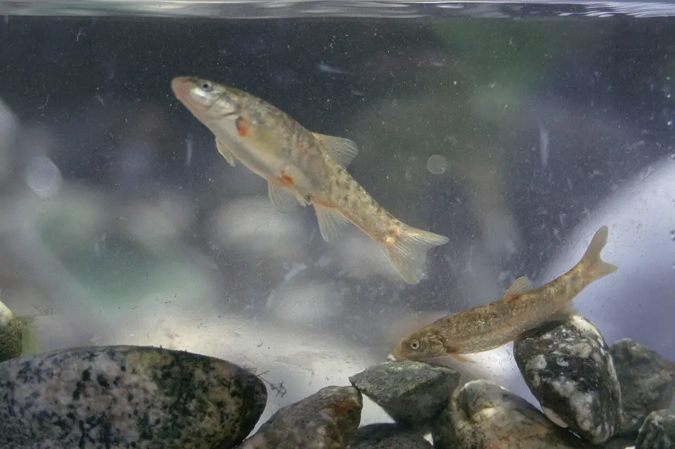 Speckled Dace Rhinichthys osculus
-
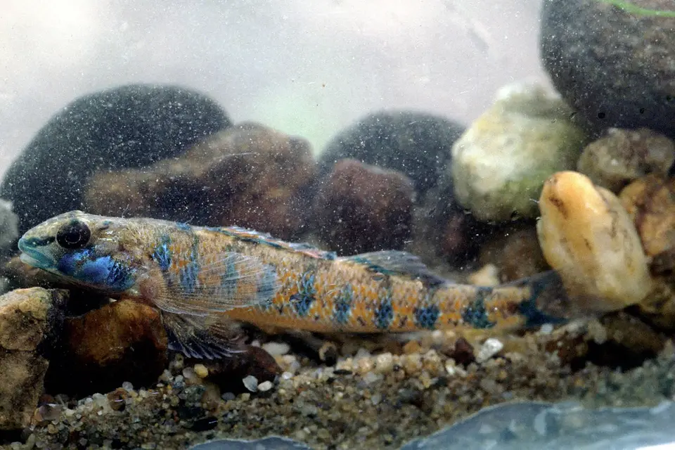 Speckled Darter Etheostoma stigmaeum
-
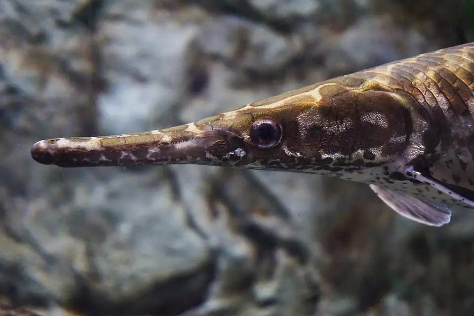 Spotted Gar Lepisosteus oculatus
-
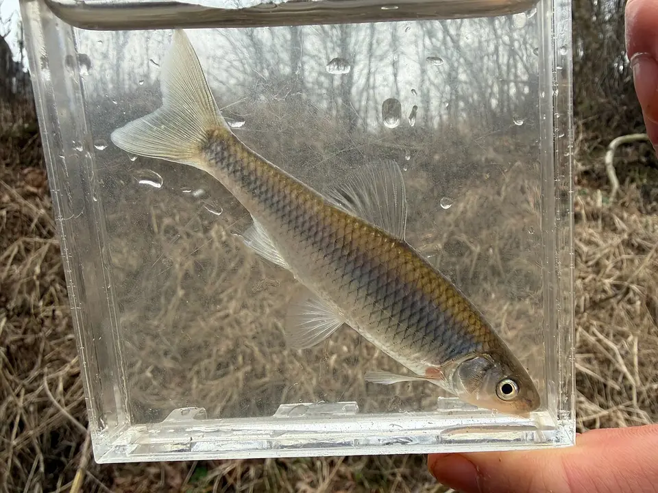 Steelcolor Shiner Cyprinella whipplei
-
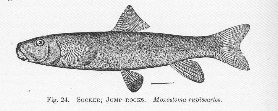 Striped Jumprock Moxostoma rupiscartes
-
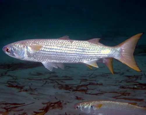 Striped Mullet Mugil cephalus
-
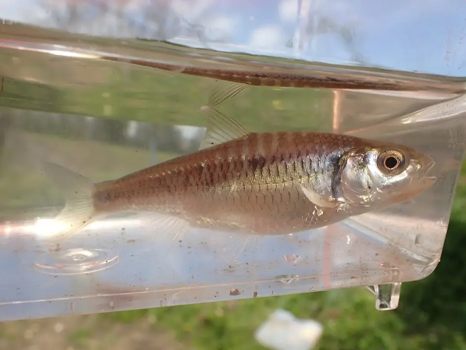 Striped Shiner Luxilus chrysocephalus
-
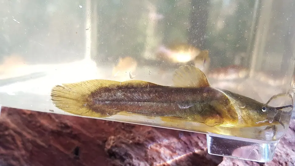 Tadpole Madtom Noturus gyrinus
-
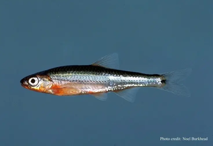 Tennessee Shiner Notropis leuciodus
- No compatible photo Thicklip Chub Cyprinella labrosa
-
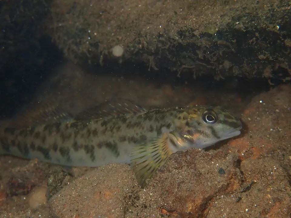 Tuckasegee Darter Etheostoma gutselli
- No compatible photo Turquoise Darter Etheostoma inscriptum
- No compatible photo Tuskaloosa Darter Etheostoma douglasi
-
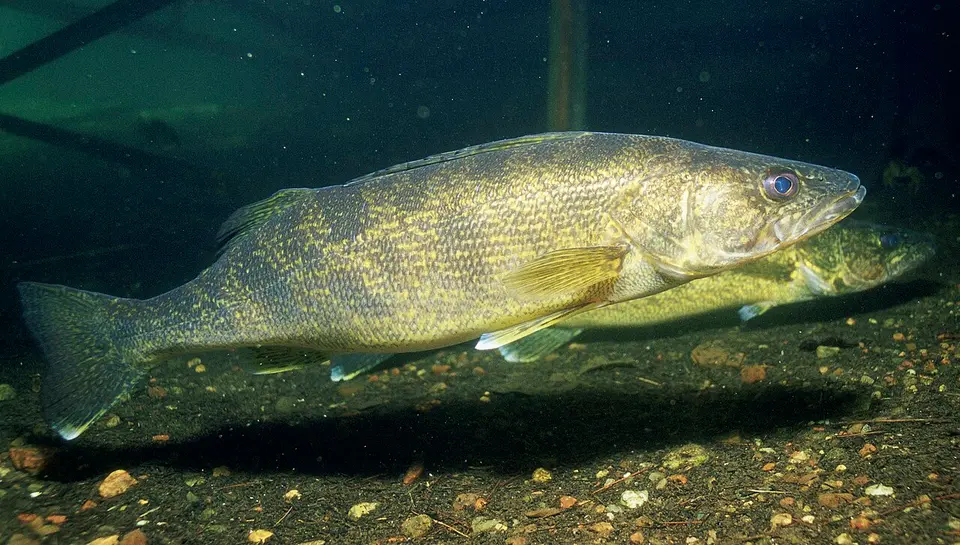 Walleye Sander vitreus
-
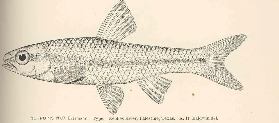 Weed Shiner Notropis texanus
-
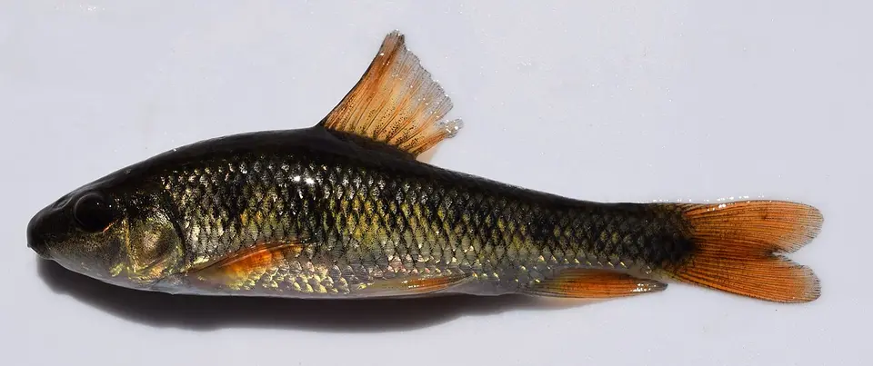 Western Creek Chubsucker Erimyzon claviformis
-
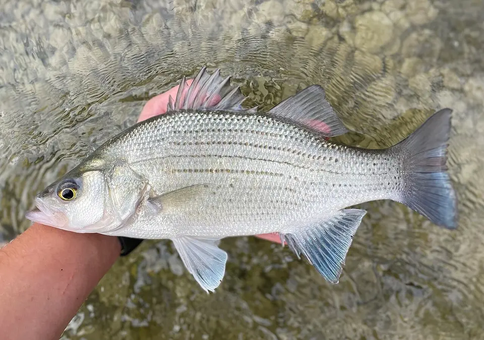 White Bass Morone chrysops
-
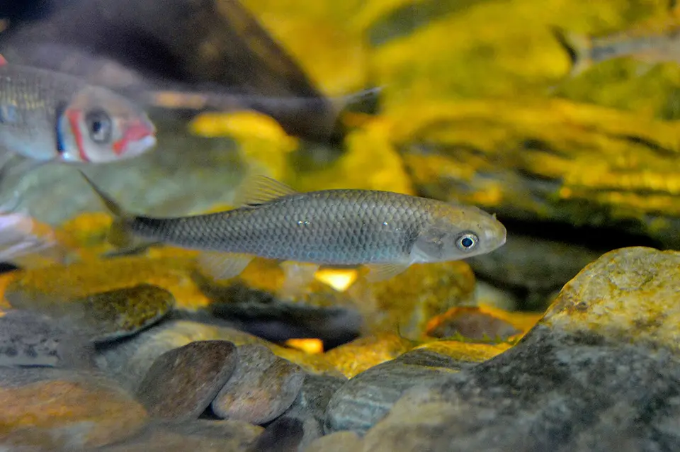 Whitetail Shiner Cyprinella galactura
- No compatible photo Wounded Darter Etheostoma vulneratum
-
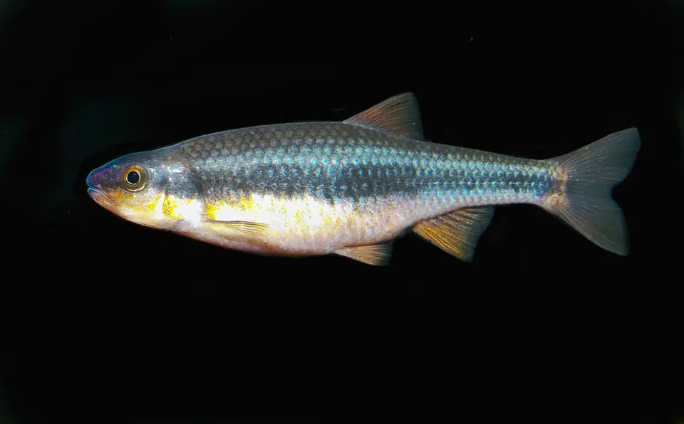 Yellowfin Shiner Notropis lutipinnis
Data sources and licenses
- GBIF occurrence search, accessed 2026-11-19. Only CC0 and CC BY records. Each species page lists the dataset names and links.
- USGS 3D Hydrography Program and NHDPlus High Resolution flowline names, public domain, for the stream snapped to each waterfall.
- USGS Nonindigenous Aquatic Species, public domain, for non-native flags by state. NAS introductions are not treated as waterfall occurrences.
- Species facts that appear as measurements or habitat classes come from Wikidata (CC0). Barrier notes, when present, are paraphrased from the English Wikipedia article and cited on the species page (CC BY-SA). FishBase was not used; its database license is not compatible with this site.
- Photographs are downloaded and hosted as WebP. Credits and licenses sit on the hub row, the species page, and the waterfall note. Wikimedia Commons images are limited to public domain, CC0, CC BY, and CC BY-SA. iNaturalist photos are limited to CC0 and CC BY.
Occurrence data are mediated by GBIF. Cite the original datasets linked from each species page if you reuse the counts. State fishing rules are not copied here; species pages link to the state agency.
Frequently Asked Questions
Does a listing here mean the fish lives in the waterfall?
No. A species is listed only when a public occurrence record names the same stream or water body as the waterfall and the point is within 5 km. The wording on every page is “recorded in [stream] near [falls].” We do not claim the fish was seen in the plunge pool, or that it occurs above the drop.
Which records are allowed?
GBIF occurrences of fishes from 2005 through 2026, licensed CC0 or CC BY, with coordinates. If the publisher reports a coordinate uncertainty above 5 km, the record is dropped. CC BY-NC, CC BY-ND, and records with no license are not used. iNaturalist research-grade rows are included only when the license is CC0 or CC BY.
How is the stream chosen?
The stream is the USGS 3D Hydrography Program flowline, or an NHDPlus High Resolution flowline from the same GNIS-name rule, nearest the waterfall, and only when that line passes within 500 m. Unnamed flowlines and names that are only “North Fork” or a similar fragment are skipped. The record’s water body, locality, or verbatim locality has to contain that same name.
Why do some species have no page of their own?
A species page is published only when the species is recorded near at least 5 of our published waterfalls. Species under that threshold stay on this hub so we are not standing up thin pages.
What does the non-native flag mean?
It means USGS Nonindigenous Aquatic Species has at least one introduction record for that species in a state where we also matched it to a waterfall. NAS is not used as evidence the fish was recorded at the falls. A missing flag is not a finding that the species is native.