The official Fall Color Trail page says color begins in north Alabama in early October, sweeps across that region, and is at its peak from late October to early November. It does not print a separate week for the Black Belt or the coast. DeSoto State Park, in DeKalb County, adds a local history line: peak has historically fallen between the second part of October and the first part of November. On November 17, 2026 the park called itself past peak.
The Forest Service does not feature an Alabama forest on the national fall-colors guide’s destination list. The state tourism page and DeSoto are the sources for the weeks.
Peak timing varies from year to year. A warm fall, an early frost, or a windstorm can move or mute the color, which is why the live report matters more than any calendar.
When color usually arrives
North Alabama mountains
Tourism says color begins in the mountains of north Alabama in early October and then sweeps across the region. DeSoto’s historical peak is the second part of October into the first part of November, which sits inside the statewide late-October-to-early-November peak.
Typical windows, Alabama Tourism and DeSoto State Park. Source: Alabama Tourism, Fall Color Trail.
The rest of the state
The same tourism page says colors will be at their peak from late October to early November. It does not isolate central or south Alabama with a later week. If you need that split, it is not in the source, and this page will not add one.
Statewide peak line, Alabama Tourism. Source: Alabama Tourism, Fall Color Trail.
Fall foliage map
Esri publishes a public ArcGIS experience called Fall Foliage Viewing. It is embedded here as a map you can pan. It is not the source of the dates on this site. If the embed is blocked or slow, the state reports linked above and below still stand on their own. For Alabama, it opens centered on the state. The center is the middle of the state's bounding box in the U.S. Census Bureau cartographic boundary, 2017 edition. The colored prediction layer in the experience is the Massachusetts Department of Conservation and Recreation forecast published in that app. It is not a forecast for any other state.
Map of waterfalls in Alabama
Larger gold markers are the waterfalls on this page's itinerary. Smaller markers are the other published waterfall pages in Alabama. The outline is the U.S. Census Bureau cartographic boundary for the state (2017, public domain). A marker is the mapped position of the falls, not a trailhead.
Published waterfall page On this foliage trip
On this trip
- De Soto Falls, DeKalb County
- Kinlock Falls, Lawrence County
- Little River Falls, DeKalb County
- Noccalula Falls, Etowah County
Other published waterfall pages in Alabama
- Georgia Falls, Colbert County
- Great Falls, Lee County
- Griffin Falls, DeKalb County
- High Falls, DeKalb County
- Peavine Falls, Shelby County
- Salt Creek Falls, Talladega County
- Short Creek Falls, Marshall County
Open the interactive Alabama waterfall map. That map also includes named falls that do not have their own page.
The live report
DeSoto posts a park status. The tourism office phones on the Fall Color Trail page are 800-ALABAMA (800-252-2262) and 334-242-4169. They are not labeled a foliage hotline. DeSoto State Park fall color report.
Waterfalls to see with the color
DeSoto Falls and Little River Falls are both DeKalb County, the park whose historical peak is the second half of October into early November. The USGS text gives DeSoto Falls a 104-foot drop. Noccalula Falls is Etowah County, still in the north Alabama sweep, with a 90-foot figure in the gazetteer text. Kinlock Falls is Lawrence County, farther west. All four are north of the Black Belt, so they sit in the region the tourism page actually describes.
De Soto Falls
DeKalb County · nearest listed town Fort Payne
- Drop
- 104 ft in the USGS gazetteer text
- Reviews
- 568 · 4.8 stars
Little River Falls
DeKalb County · nearest listed town Fort Payne
- Reviews
- 174 · 4.8 stars
Noccalula Falls
Etowah County · nearest listed town Gadsden
- Drop
- 90 ft in the USGS gazetteer text
- Reviews
- 1,271 · 4.7 stars
Kinlock Falls
Lawrence County · nearest listed town Haleyville
- Reviews
- 221 · 4.8 stars
Trail name, distance, elevation, and difficulty come from data/trails.json or a hand-checked trip note when one exists. A missing row means that field was not in those files. Drop is shown only when the USGS gazetteer text states a height.
DeKalb County in the historical DeSoto window
Fort Payne is the pair to schedule first: DeSoto and Little River, in the county that posts the color report. Gadsden is the next town south, still in the north Alabama early-October start and the late-October peak. Kinlock is the longer western leg. The November 17, 2026 DeSoto note is the caution: by mid-November that year the park was already past peak, so “early November” is the back edge of the historical line, not a guarantee.
| From | To | Straight-line miles |
|---|---|---|
| De Soto Falls | Little River Falls | 10.8 |
| Little River Falls | Noccalula Falls | 33.2 |
| Noccalula Falls | Kinlock Falls | 86.7 |
Trees and the colors they are credited with
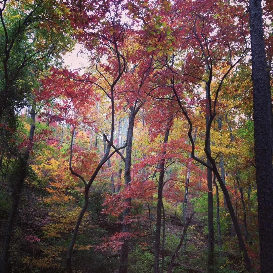
- Poplar, dogwood, maple, hickory. The tourism trail copy says glittering yellow poplars, scarlet dogwoods, orange maples, and golden hickories. A DeSoto status note adds oaks, walnuts, and red maples. (Alabama Tourism, Fall Color Trail)
Frequently Asked Questions
When does north Alabama start?
Alabama Tourism says early October in the mountains, with a statewide peak from late October to early November.
What does DeSoto say is historical peak?
The second part of October into the first part of November. On November 17, 2026 the park reported itself past peak.
Which falls are in DeKalb County?
DeSoto Falls and Little River Falls. Noccalula is Etowah County. Kinlock is Lawrence County.
Photographs