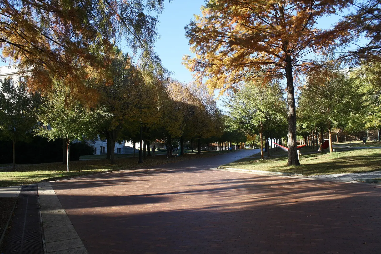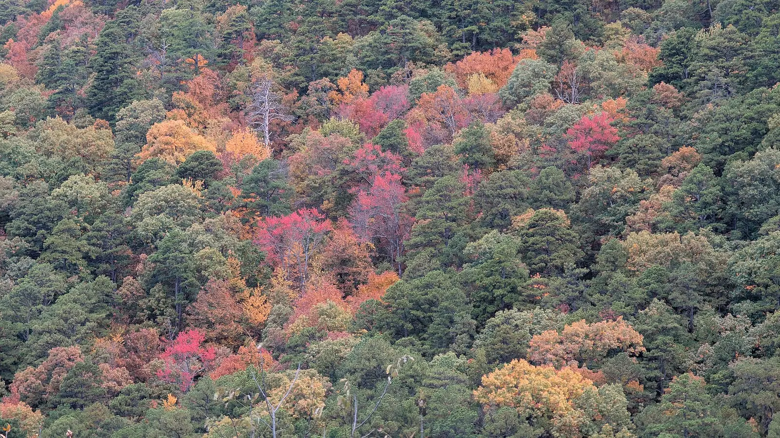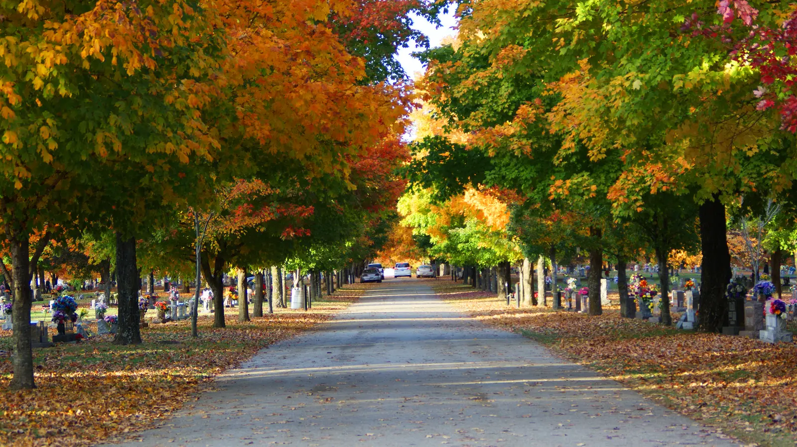
Arkansas.com’s Ozark drives article says color typically begins in early October, the Ozarks are at their peak by late October, central and western Arkansas follow closely, and the southern and eastern parts of the state are most vivid in early to mid-November. A second tourism article says the same southward ripple takes about six weeks, with earnest Ozark color by the second week of October and peak in late October, and it adds that higher elevations usually start before the lowlands.
The Forest Service names the Scenic 7 Byway, Whitaker Point, and Mount Magazine on the Ozark-St. Francis for black gum, sweetgum, and southern red oak. A Fairview note on the forest says fall color can be seen in October and November, which is a span, not a peak week. The tourism articles are the weeks.
Peak timing varies from year to year. A warm fall, an early frost, or a windstorm can move or mute the color, which is why the live report matters more than any calendar.
When color usually arrives
Ozarks
Early October for the start, earnest color by the second week, peak in late October. Higher ground before the lowlands. Central and western Arkansas follow the Ozarks closely, in the drives article’s wording.
Typical pattern, Arkansas Tourism. Source: Arkansas.com, best fall drives in the Ozarks.
South and east
Most vivid tones in early to mid-November, after the color has moved south over about six weeks. The second article says the rest of the state peaks from late October into mid-November as the wave goes south.
Typical pattern, Arkansas Tourism. Source: Arkansas.com, foliage drives and destinations.
Fall foliage map
Esri publishes a public ArcGIS experience called Fall Foliage Viewing. It is embedded here as a map you can pan. It is not the source of the dates on this site. If the embed is blocked or slow, the state reports linked above and below still stand on their own. For Arkansas, it opens centered on the state. The center is the middle of the state's bounding box in the U.S. Census Bureau cartographic boundary, 2017 edition. The colored prediction layer in the experience is the Massachusetts Department of Conservation and Recreation forecast published in that app. It is not a forecast for any other state.
Map of waterfalls in Arkansas
Larger gold markers are the waterfalls on this page's itinerary. Smaller markers are the other published waterfall pages in Arkansas. The outline is the U.S. Census Bureau cartographic boundary for the state (2017, public domain). A marker is the mapped position of the falls, not a trailhead.
Published waterfall page On this foliage trip
On this trip
- Bridal Veil Falls, Cleburne County
- Cedar Falls, Conway County
- Eden Falls, Newton County
- Falling Water Falls, Pope County
Other published waterfall pages in Arkansas
- Spainhour Falls, Johnson County
Open the interactive Arkansas waterfall map. That map also includes named falls that do not have their own page.
The live report
No forestry weekly report turned up for this guide. Tourism’s phone is 501-682-7777. State Parks is 888-287-2757. Neither was labeled a foliage hotline. Arkansas Tourism fall drives.
Waterfalls to see with the color
Eden Falls is Newton County and Falling Water Falls is Pope County. Both are Ozark pages, so the late-October Ozark peak is the window. Cedar Falls is Conway County, still in the central band the drives article says follows the Ozarks closely. Bridal Veil Falls at Heber Springs is Cleburne County, farther east and a step toward the later south-and-east timing. The USGS text does not give these four a height this page can repeat.
Eden Falls
Newton County · nearest listed town Jasper
- Reviews
- 132 · 4.7 stars
Falling Water Falls
Pope County · nearest listed town Marshall
- Reviews
- 345 · 4.8 stars
Cedar Falls
Conway County · nearest listed town Atkins
- Trail
- Cedar Falls Trail
- Reviews
- 73 · 4.7 stars
Bridal Veil Falls
Cleburne County · nearest listed town Heber Springs
- Reviews
- 119 · 4.7 stars
Trail name, distance, elevation, and difficulty come from data/trails.json or a hand-checked trip note when one exists. A missing row means that field was not in those files. Drop is shown only when the USGS gazetteer text states a height.
Newton and Pope in the Ozark peak
Jasper and Marshall are the late-October pair. Atkins is close enough to treat as the same central-Ozark week. Heber Springs is the one to reconsider if the live look of the Ozarks is already brown and the south-and-east early-November line is the week you actually caught. Tourism did not publish a road log between these trailheads. The straight-line table is only the spacing.
| From | To | Straight-line miles |
|---|---|---|
| Eden Falls | Falling Water Falls | 31.9 |
| Falling Water Falls | Cedar Falls | 41.5 |
| Cedar Falls | Bridal Veil Falls | 55.9 |
Trees and the colors they are credited with
- Maple, sumac, sweetgum, oak, sassafras, hickory. The drives article lists yellows, reds, oranges, golds, and deep purple on maple, sumac, sweetgum, oak, sassafras, and hickory. Along I-530 it calls out bald cypress turning coppery-bronze. The Forest Service names black gum, sweetgum, and southern red oak for the Ozark-St. Francis. (Arkansas.com foliage drives)
Frequently Asked Questions
When do the Ozarks peak?
Arkansas Tourism says color begins in early October, is earnest by the second week, and peaks in late October. Higher elevations usually lead the lowlands.
When is southern and eastern Arkansas?
Early to mid-November for the most vivid tones, in the Ozark drives article. The companion article says the southward trip takes about six weeks.
Which falls are Ozark pages?
Eden Falls in Newton County and Falling Water Falls in Pope County. Cedar Falls is Conway County. Bridal Veil Falls at Heber Springs is the more easterly page.
Photographs