
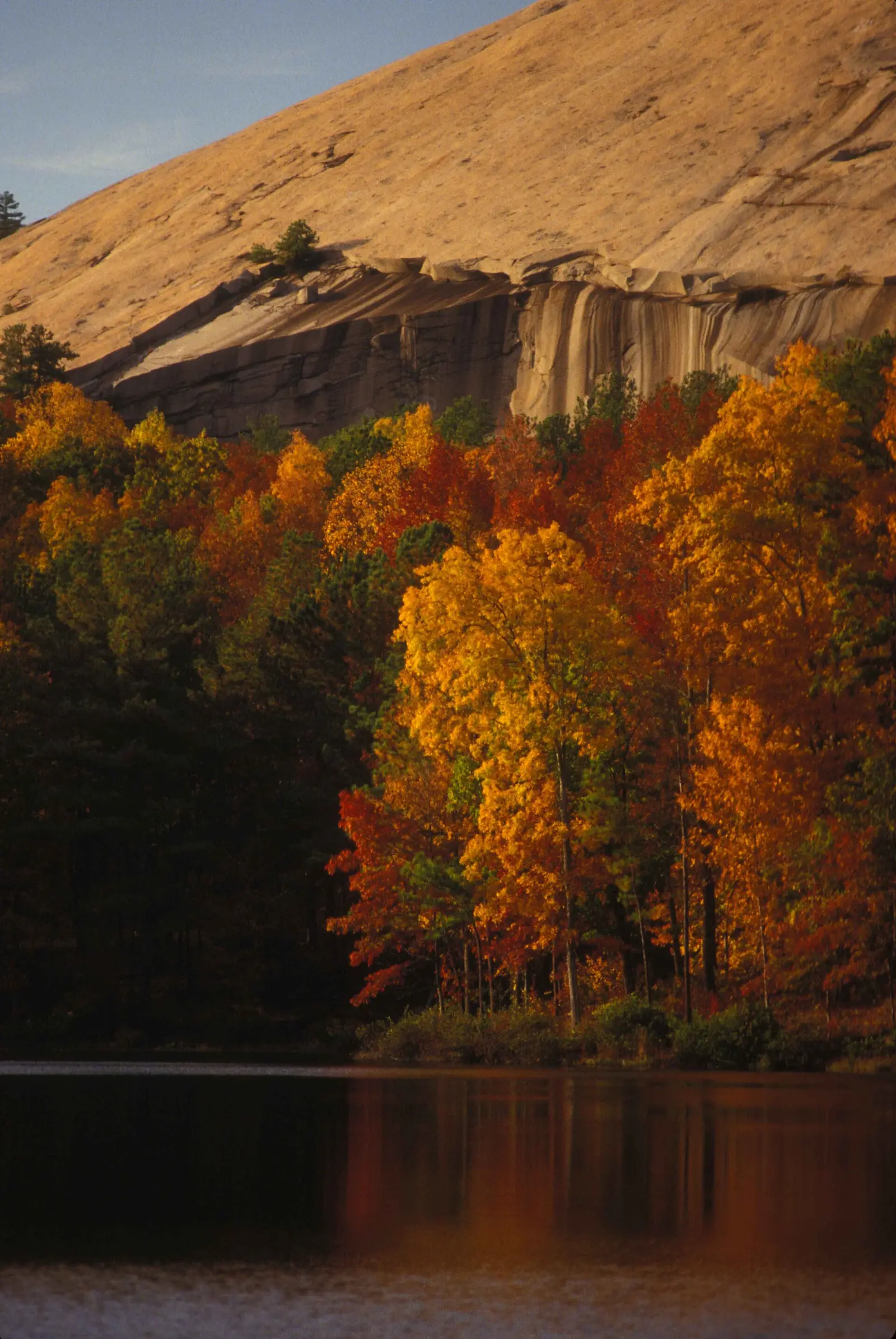
Georgia Forestry Commission leaf-watch reports are the dated source. The October 1, 2026 north-central report says the best and most vibrant landscape display usually comes in late October to early November, and that weather can move the peak by a week or shorten it. That “usually” is the standing line. The October 28, 2026 forecast is one season’s elevation split, and it is labeled that way below.
State Parks runs a separate Leaf Watch page. It does not print a statewide calendar. It does say Black Rock Mountain is usually one of the first places to show color, and that F.D. Roosevelt State Park often peaks in early November. The Forest Service adds Anna Ruby Falls, Brasstown Bald, and Tallulah Gorge as Chattahoochee stops for hickory, scarlet oak, and tulip poplar, without its own dates.
Peak timing varies from year to year. A warm fall, an early frost, or a windstorm can move or mute the color, which is why the live report matters more than any calendar.
When color usually arrives
Above about 3,000 feet
The October 28, 2026 forecast said Halloween weekend through the first weekend of November should be the best viewing above 3,000 feet in north-central Georgia. By the November 4 report, country above 3,500 feet was moving past peak.
2026 Forestry Commission forecast and the November 4 status. Source: Georgia Forestry Commission, October 28, 2026.
North-central foothills
The same October 28 forecast moved the best viewing into lower country such as Dahlonega, Dawsonville, Cumming, and Gainesville from early to mid-November. The October 1 report had already said northeast Georgia’s peak should fall around the end of October to the first of November, weather allowing a shift of about a week.
2026 reports. Source: Georgia Forestry Commission, October 1, 2026.
Northeast and northwest, early November 2026
On October 28 the northeast was forecast to peak in the latter half of the first week of November, and the northwest within the first two weeks of November. On November 4 the northeast above 3,000 feet was called mid-peak and the northwest was expected to peak within the next week.
2026 Forestry Commission reports. Source: Georgia Forestry Commission, November 4, 2026.
Fall foliage map
Esri publishes a public ArcGIS experience called Fall Foliage Viewing. It is embedded here as a map you can pan. It is not the source of the dates on this site. If the embed is blocked or slow, the state reports linked above and below still stand on their own. For Georgia, it opens centered on the state. The center is the middle of the state's bounding box in the U.S. Census Bureau cartographic boundary, 2017 edition. The colored prediction layer in the experience is the Massachusetts Department of Conservation and Recreation forecast published in that app. It is not a forecast for any other state.
Map of waterfalls in Georgia
Larger gold markers are the waterfalls on this page's itinerary. Smaller markers are the other published waterfall pages in Georgia. The outline is the U.S. Census Bureau cartographic boundary for the state (2017, public domain). A marker is the mapped position of the falls, not a trailhead.
Published waterfall page On this foliage trip
On this trip
- Amicalola Falls, Dawson County
- Anna Ruby Falls, White County
- Dukes Creek Falls, White County
- Helton Creek Falls, Union County
Other published waterfall pages in Georgia
- Cane Creek Falls, Lumpkin County
- Cascade Falls, Meriwether County
- Clay Creek Falls, Lumpkin County
- DeSoto Falls, Lumpkin County
- Dick's Creek Falls, Rabun County
- Hemlock Falls, Towns County
- High Water Falls, Lumpkin County
- Hightower Falls, Polk County
- Horsetrough Falls, Union County
- Keown Falls, Walker County
- Lula Falls, Walker County
- Mud Creek Falls, Rabun County
- Noontootla Falls, Fannin County
- Rock Falls, Coffee County
- Sea Creek Falls, Fannin County
- Toccoa Falls, Stephens County
Open the interactive Georgia waterfall map. That map also includes named falls that do not have their own page.
The live report
State Parks also posts Leaf Watch notes. The parks reservation line printed on that page is 1-800-864-7275. It is not a foliage hotline. Georgia Forestry Commission Leaf Watch.
Waterfalls to see with the color
Anna Ruby Falls and Dukes Creek Falls are White County, in the Helen and Cleveland high country the Forest Service already names for color. Helton Creek Falls is Union County, near Blairsville, which is the northeast report. Amicalola Falls is Dawson County. Dawsonville is one of the foothill towns the October 28, 2026 forecast pushed into early to mid-November, after the high ground. So the Dawsonville page is the later stop in this set, not a same-day add-on to Anna Ruby if you are chasing the high-elevation weekend.
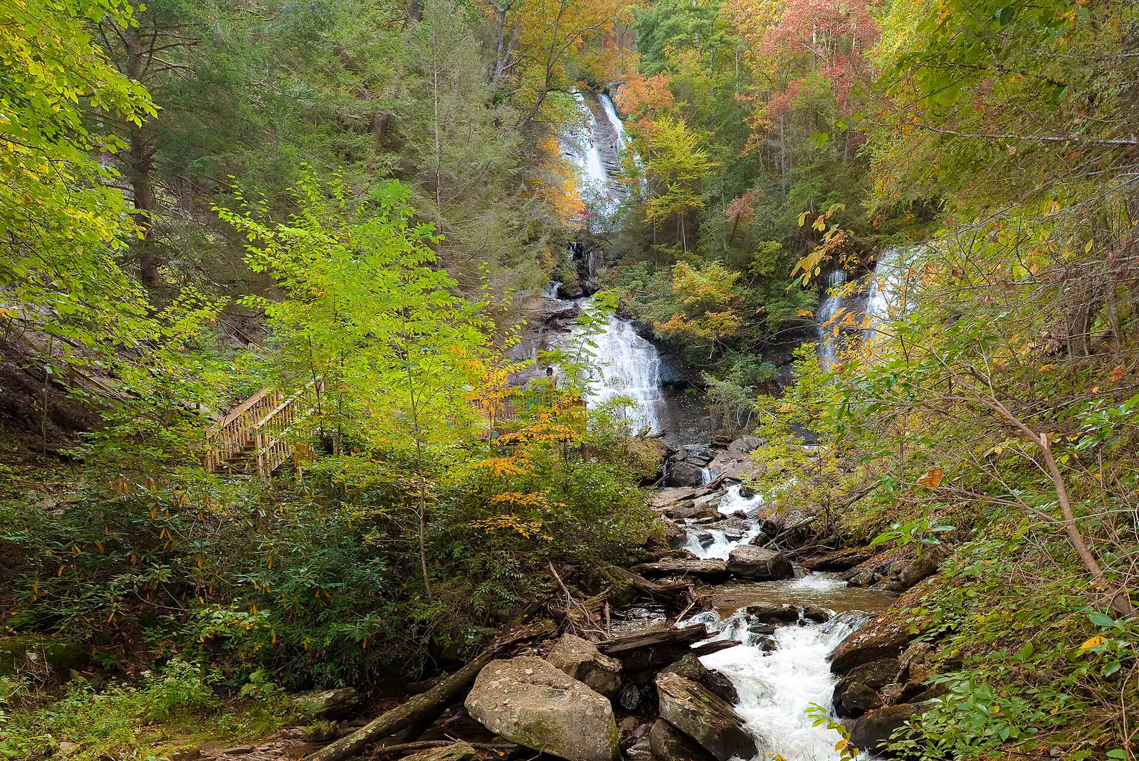
Anna Ruby Falls
White County · nearest listed town Cleveland
- Trail
- Anna Ruby Falls
- Distance
- About 0.4 mile one way (0.8 mile round trip)
- Difficulty
- Easy distance but steady uphill
- Reviews
- 1,559 · 4.8 stars
Dukes Creek Falls
White County · nearest listed town Cleveland
- Trail
- Dukes Creek Falls
- Reviews
- 449 · 4.8 stars
Helton Creek Falls
Union County · nearest listed town Blairsville
- Trail
- Helton Creek Falls Trail
- Difficulty
- Easy, with short steep and uneven sections
- Reviews
- 458 · 4.7 stars
Amicalola Falls
Dawson County · nearest listed town Dawsonville
- Trail
- West Ridge Falls Access Trail
- Elevation
- About 600–780 feet for the full stair/loop climbs; minimal on the West Ridge Access Trail
- Difficulty
- Easy on the West Ridge Access Trail; strenuous on the 604-stair climb
- Reviews
- 465 · 4.9 stars
Trail name, distance, elevation, and difficulty come from data/trails.json or a hand-checked trip note when one exists. A missing row means that field was not in those files. Drop is shown only when the USGS gazetteer text states a height.
White County on the high weekend, Dawsonville after
Cleveland and Blairsville are the mountain pair. Dawsonville is the foothill the 2026 forecast dated later. The usual Forestry Commission line, late October into early November for the best landscape display, covers the whole north. The elevation split is what keeps you from standing at Amicalola during the weekend that was meant for ground above 3,000 feet.
| From | To | Straight-line miles |
|---|---|---|
| Anna Ruby Falls | Dukes Creek Falls | 6.2 |
| Dukes Creek Falls | Helton Creek Falls | 6.9 |
| Helton Creek Falls | Amicalola Falls | 23.5 |
Trees and the colors they are credited with
- Sourwood, dogwood, maple, birch, sweetgum, hickory. The October 28, 2026 north-central report listed those species for the red, yellow, and orange then showing. The northwest note in the same forecast said hickories were favoring yellow crowns and red maples were dark red or orange. (Georgia Forestry Commission, October 28, 2026)
Frequently Asked Questions
What does the Forestry Commission call the usual peak?
Late October to early November for the best landscape display, with weather able to move it by about a week. That sentence is in the October 1, 2026 north-central report.
What did 2026 say about elevation?
Above 3,000 feet, Halloween weekend through the first weekend of November. Foothills including Dahlonega and Dawsonville, early to mid-November. By November 4, ground above 3,500 feet was going past peak.
Which falls page is the foothill stop?
Amicalola Falls in Dawson County. Anna Ruby and Dukes Creek are White County. Helton Creek is Union County.
Photographs
Sources
- Georgia Forestry Commission, October 28, 2026
- Georgia Forestry Commission, October 1, 2026
- Georgia Forestry Commission, November 4, 2026
- Georgia Forestry Commission Leaf Watch
- File:Scenic view of lake in fall with autumn foliage reflected in lake at stone mountain.jpg
- File:Autumn in Anna Ruby Falls - panoramio.jpg
- File:CNCFallLeavesNov03 2013.jpg