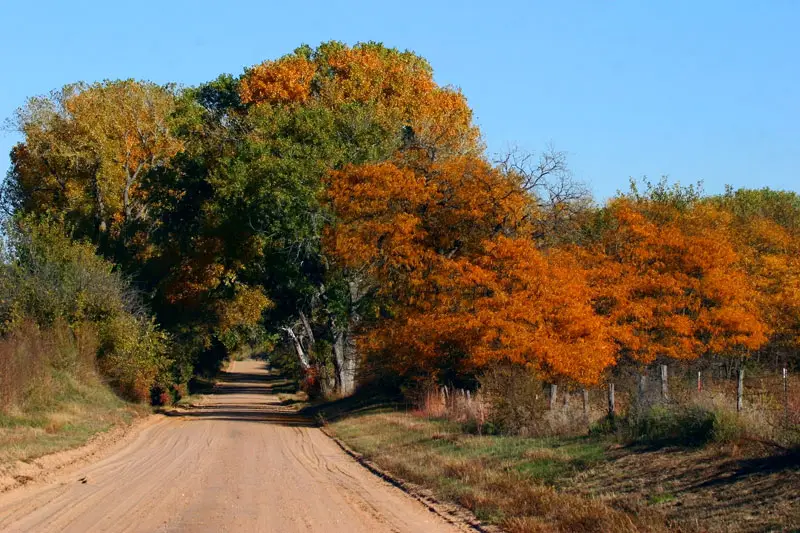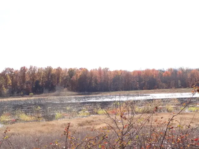
The Kansas Tourism fall page describes a 2026 progression and does not, in the text used here, present it as a multi-year average. In 2026, the first half of the state was expected to begin changing in mid-October, dated October 13–20, and the second half from mid-to-late October into early November, dated October 20 through November 3. The page also says that by late October most of Kansas should be in the midst of peak. The dates are footnoted on the page. The footnote text was not in the copy retrieved, so this guide does not upgrade them into a “normal year.”
The page tells readers who want live updates to check explorefall.com. That third-party map is not a source for the dates on this site. Butcher Falls, in Chautauqua County, is the published waterfall page. Chautauqua is in the southeast, which the 2026 wording puts in the later half.
Peak timing varies from year to year. A warm fall, an early frost, or a windstorm can move or mute the color, which is why the live report matters more than any calendar.
When color usually arrives
First half of the state, 2026
Leaves were expected to begin changing October 13–20. The page describes this as the first half of Kansas. It does not print a county list in the sentences used here.
2026 Kansas Tourism note, not labeled a long-term average. Source: Kansas Tourism, fall.
Second half, 2026
The second half was expected to start around October 20 and run through November 3. By late October, the page says, most of the state should be in the midst of peak.
2026 Kansas Tourism note. Source: Kansas Tourism, fall.
Fall foliage map
Esri publishes a public ArcGIS experience called Fall Foliage Viewing. It is embedded here as a map you can pan. It is not the source of the dates on this site. If the embed is blocked or slow, the state reports linked above and below still stand on their own. For Kansas, it opens centered on the state. The center is the middle of the state's bounding box in the U.S. Census Bureau cartographic boundary, 2017 edition. The colored prediction layer in the experience is the Massachusetts Department of Conservation and Recreation forecast published in that app. It is not a forecast for any other state.
Map of waterfalls in Kansas
Larger gold markers are the waterfalls on this page's itinerary. The outline is the U.S. Census Bureau cartographic boundary for the state (2017, public domain). A marker is the mapped position of the falls, not a trailhead.
On this foliage trip
On this trip
- Butcher Falls, Chautauqua County
Open the interactive Kansas waterfall map. That map also includes named falls that do not have their own page.
The live report
The page is the state note for 2026. It points at an outside map for live updates. This guide does not treat that map as a citation for peak weeks. Kansas Tourism fall page.
Waterfalls to see with the color
Butcher Falls, in Chautauqua County at Sedan, is the only published waterfall page. Southeast Kansas is the later half of the 2026 note, October 20 through November 3, if the page’s “second half” means the southeast. The tourism page’s own wording is “second half,” not “Chautauqua County.” Use the later window as the closer fit, and do not pretend a Flint Hills week was printed.
Butcher Falls
Chautauqua County · nearest listed town Sedan
- Reviews
- 45 · 4.5 stars
Trail name, distance, elevation, and difficulty come from data/trails.json or a hand-checked trip note when one exists. A missing row means that field was not in those files. Drop is shown only when the USGS gazetteer text states a height.
One southeast waterfall on the later 2026 half
There is no second published fall to connect. Sedan is a southeast stop. If you are traveling October 13–20, the 2026 note is about the first half of the state, and this waterfall is the wrong half to assume. Late October is when the page says most of Kansas should be in peak, which is the safer week to put on a southeast page.
Frequently Asked Questions
Are the Kansas dates a typical year?
The tourism page presents them as 2026: October 13–20 for the first half, October 20 through November 3 for the second half, with most of the state in peak by late October. A footnote was not readable in the copy used here, so they are not upgraded to a normal-year average.
Where is the waterfall?
Butcher Falls in Chautauqua County. It is the only published waterfall page, and it sits in the southeast.
Does this page use the explorefall map?
No. Kansas Tourism mentions it for live updates. The dates here are the sentences on the state tourism page.
Photographs