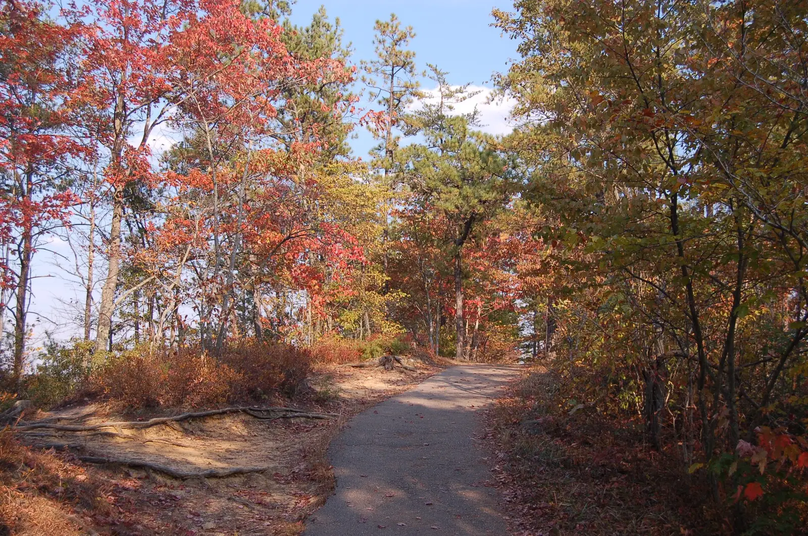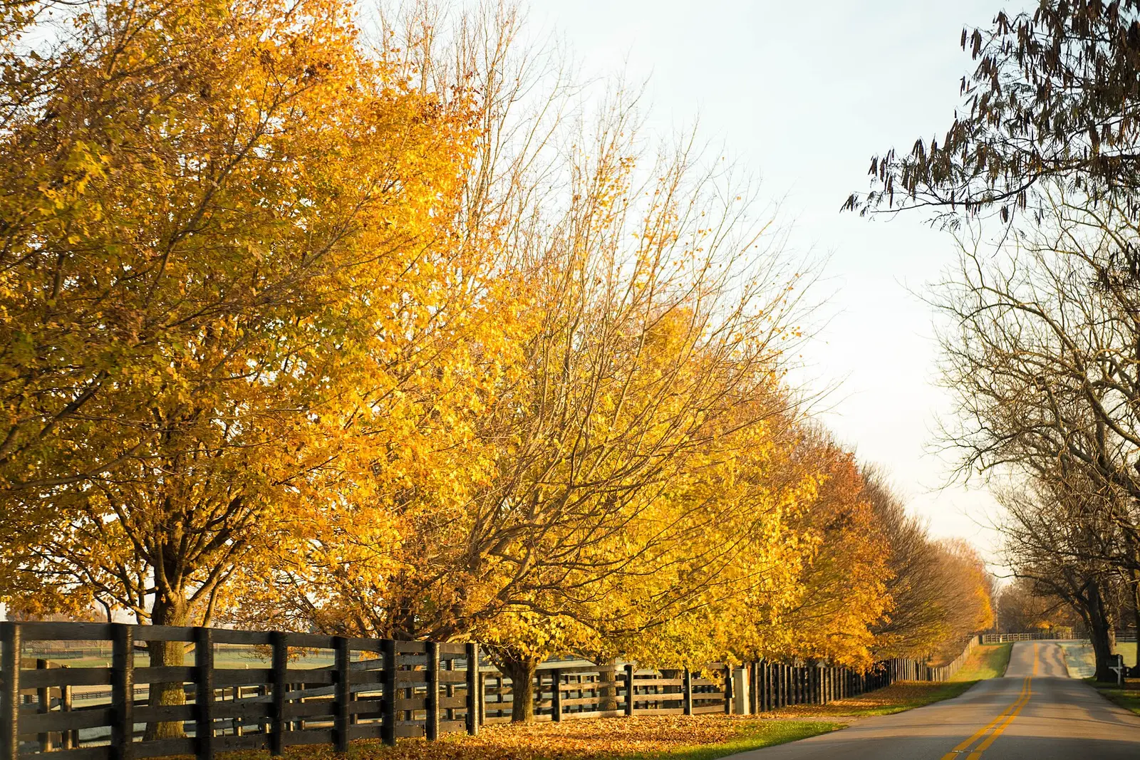
The state tourism article on fall color says the change usually begins as early as September in the higher elevations of the eastern mountains and progresses west during October and into early November. The foliage map page says it is updated through the season and does not print those regional dates in the text. State park pages name central and western Kentucky as places to go and, in the pages checked, do not add separate peak weeks. So the sourced calendar is the east-to-west progression, not a three-column table.
Daniel Boone National Forest is the eastern landscape. The Forest Service names Red River Gorge and Natural Bridge for maple, beech, and sycamore, without a date of its own. Cumberland Falls and Yahoo Falls are in McCreary County, on that eastern side of the state.
Peak timing varies from year to year. A warm fall, an early frost, or a windstorm can move or mute the color, which is why the live report matters more than any calendar.
When color usually arrives
Eastern mountains
Tourism says color usually begins as early as September at higher elevations in the east. That is the only September line in the article. Red River Gorge is the Forest Service’s named eastern destination, undated.
Typical progression, Kentucky Tourism. Source: Kentucky Tourism, Kentucky Fall Colors.
Westward through October
The same sentence carries the color west during October and into early November. Central and western Kentucky are not given their own weeks in the sources opened for this guide. The map is the in-season check.
Typical progression, Kentucky Tourism. Source: Kentucky Tourism, Kentucky Fall Colors.
Fall foliage map
Esri publishes a public ArcGIS experience called Fall Foliage Viewing. It is embedded here as a map you can pan. It is not the source of the dates on this site. If the embed is blocked or slow, the state reports linked above and below still stand on their own. For Kentucky, it opens centered on the state. The center is the middle of the state's bounding box in the U.S. Census Bureau cartographic boundary, 2017 edition. The colored prediction layer in the experience is the Massachusetts Department of Conservation and Recreation forecast published in that app. It is not a forecast for any other state.
Map of waterfalls in Kentucky
Larger gold markers are the waterfalls on this page's itinerary. Smaller markers are the other published waterfall pages in Kentucky. The outline is the U.S. Census Bureau cartographic boundary for the state (2017, public domain). A marker is the mapped position of the falls, not a trailhead.
Published waterfall page On this foliage trip
On this trip
- Anglin Falls, Rockcastle County
- Cumberland Falls, McCreary County
- Dog Slaughter Falls, Whitley County
- Yahoo Falls, McCreary County
Other published waterfall pages in Kentucky
- Eagle Falls, McCreary County
- Seventy Six Falls, Clinton County
Open the interactive Kentucky waterfall map. That map also includes named falls that do not have their own page.
The live report
Tourism says the map is updated through the season. It is the live page. The east-to-west sentence lives on the fall-colors article. Kentucky fall foliage map.
Waterfalls to see with the color
Cumberland Falls and Yahoo Falls are McCreary County, and Dog Slaughter Falls is Whitley County. That is the southeastern corner, the end of the state that tourism says can start in September at higher ground. Anglin Falls is Rockcastle County, still in the east, nearer Berea. None of these pages is a western Kentucky stop, so they should be planned on the early side of the east-to-west progression, then checked on the live map.
Cumberland Falls
McCreary County · nearest listed town Whitley City
- Reviews
- 1,511 · 4.8 stars
Yahoo Falls
McCreary County · nearest listed town Whitley City
- Reviews
- 91 · 4.7 stars
Dog Slaughter Falls
Whitley County · nearest listed town Williamsburg
- Trail
- Dog Slaughter Trail #414
- Distance
- 1.3 miles one way
- Reviews
- 121 · 4.8 stars
Anglin Falls
Rockcastle County · nearest listed town Berea
- Reviews
- 93 · 4.5 stars
Trail name, distance, elevation, and difficulty come from data/trails.json or a hand-checked trip note when one exists. A missing row means that field was not in those files. Drop is shown only when the USGS gazetteer text states a height.
McCreary County while the east is the week
Cumberland and Yahoo share a county, and Dog Slaughter is the next county east. Anglin is the longer hop toward Berea. The Forest Service drive people actually talk about in this region is Red River Gorge, which is not the same road as Cumberland Falls. Use the gorge for the maple and beech the Forest Service names, and use these waterfall pages for the McCreary and Whitley stops. The map, not a guessed October Saturday, is what says whether the east has already moved on.
| From | To | Straight-line miles |
|---|---|---|
| Cumberland Falls | Yahoo Falls | 10.3 |
| Yahoo Falls | Dog Slaughter Falls | 12.6 |
| Dog Slaughter Falls | Anglin Falls | 44.6 |
Trees and the colors they are credited with
- Dogwood, sumac, sugar maple, oak, poplar, hickory. The tourism article says dogwoods and sumacs can turn red and purple, sugar maples orange and red, oaks, sourwoods, and sweetgums take on red, and poplars and hickories turn yellow and gold. (Kentucky Tourism, Kentucky Fall Colors)
Frequently Asked Questions
Where does Kentucky color start?
Kentucky Tourism says the higher eastern mountains, as early as September, then west through October into early November.
Do central and western Kentucky have their own weeks in that article?
No. The article gives the direction and the span. State park pages name those regions without adding dates in the pages checked here. Use the foliage map during the season.
Which falls are in the east?
Cumberland Falls and Yahoo Falls in McCreary County, Dog Slaughter Falls in Whitley County, and Anglin Falls in Rockcastle County.
Photographs