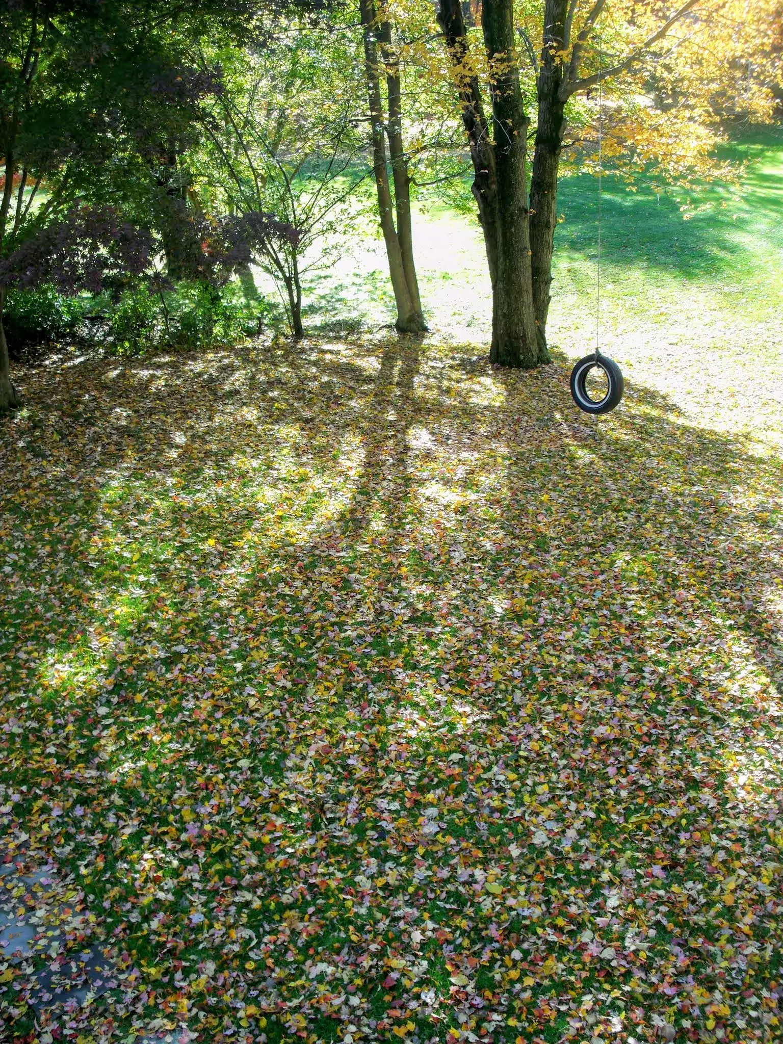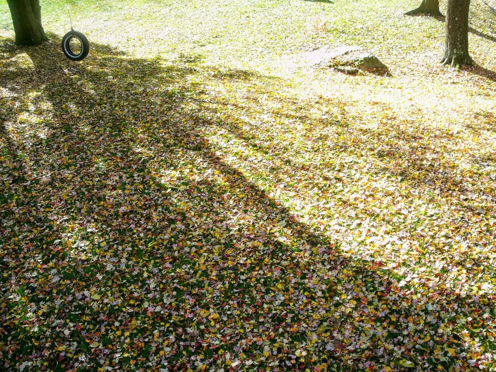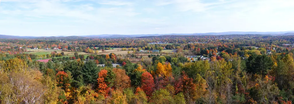
The Department of Conservation and Recreation runs an interactive foliage map for state parks and said, in a September 19, 2025 release, that forestry staff build it from current conditions and past years. The sentence that matters for planning is specific to that forecast: most of the state would see peak colors in mid-October, and parts of western Massachusetts would peak slightly earlier. DCR told readers to select dates on the map rather than treat the sentence as a permanent calendar.
Berkshire County is the western piece of that sentence. Bash Bish Falls, in Sheffield, is the published page with the most reviews in the state, and it sits in that earlier band. Doane Falls and Royalston Falls are Worcester County, farther east, which the 2025 release did not split out from “most of the state.”
Peak timing varies from year to year. A warm fall, an early frost, or a windstorm can move or mute the color, which is why the live report matters more than any calendar.
When color usually arrives
Western Massachusetts
DCR’s 2025 forecast said certain areas in western Massachusetts would peak slightly earlier than the rest of the state. The release did not publish a separate week for the Berkshires. “Slightly earlier than mid-October” is as fine as that document gets.
2025 DCR forecast, not a multi-year average printed as dates. Source: Massachusetts DCR, September 19, 2025.
Most of the state
The same 2025 release said most of the state would see peak colors in mid-October. Central and eastern parks were not given their own week in the news text. The map is supposed to carry the property-level timing.
2025 DCR forecast. Source: Massachusetts DCR, September 19, 2025.
Fall foliage map
Esri publishes a public ArcGIS experience called Fall Foliage Viewing. It is embedded here as a map you can pan. It is not the source of the dates on this site. If the embed is blocked or slow, the state reports linked above and below still stand on their own. For Massachusetts, it opens centered on the state. The center is the middle of the state's bounding box in the U.S. Census Bureau cartographic boundary, 2017 edition. The colored prediction layer in the experience is the Massachusetts Department of Conservation and Recreation forecast published in that app. It is not a forecast for any other state.
Map of waterfalls in Massachusetts
Larger gold markers are the waterfalls on this page's itinerary. Smaller markers are the other published waterfall pages in Massachusetts. The outline is the U.S. Census Bureau cartographic boundary for the state (2017, public domain). A marker is the mapped position of the falls, not a trailhead.
Published waterfall page On this foliage trip
On this trip
- Bash Bish Falls, Berkshire County
- Chapel Falls, Franklin County
- Doane Falls, Worcester County
- Glendale Falls, Hampshire County
Other published waterfall pages in Massachusetts
- Campbell Falls, Berkshire County
- Danforth Falls, Middlesex County
- Race Brook Falls, Berkshire County
- Royalston Falls, Worcester County
- South Hadley Falls, Hampden County
- Tannery Falls, Berkshire County
- Umpachene Falls, Berkshire County
- Wallamanumps Falls, Hampden County
Open the interactive Massachusetts waterfall map. That map also includes named falls that do not have their own page.
The live report
The map is the live tool. The 2025 release says it shows when peak changes are expected at DCR properties and that staff photos are posted on it through the season. DCR interactive fall foliage map.
Waterfalls to see with the color
Bash Bish Falls and Glendale Falls are Berkshire County pages, the western band DCR said would turn slightly earlier in the 2025 forecast. Chapel Falls is Franklin County, still in the west. Doane Falls is Worcester County, which this page files under the “most of the state, mid-October” line because DCR did not give Worcester its own week.
Bash Bish Falls
Berkshire County · nearest listed town Sheffield
- Trail
- Bash Bish Trail
- Distance
- About 0.7 mile round trip
- Difficulty
- Steep and rugged from the Massachusetts lot
- Reviews
- 551 · 4.6 stars
Glendale Falls
Hampshire County · nearest listed town Becket
- Trail
- Glendale Falls Path
- Reviews
- 56 · 4.8 stars
Chapel Falls
Franklin County · nearest listed town Ashfield
- Trail
- Chapel Falls Road Trail
- Reviews
- 84 · 4.7 stars
Doane Falls
Worcester County · nearest listed town Royalston
- Reviews
- 191 · 4.8 stars
Trail name, distance, elevation, and difficulty come from data/trails.json or a hand-checked trip note when one exists. A missing row means that field was not in those files. Drop is shown only when the USGS gazetteer text states a height.
Berkshires on the earlier week
Sheffield, Becket, and Ashfield are a western cluster. If you only have the weekend DCR called slightly early, stay in that cluster and leave Royalston for the mid-October window. The straight-line table shows Doane Falls is the long leg. It is not a spur off the Bash Bish trailhead.
DCR did not name a tree list in the 2025 release used here, so this page does not invent maple-versus-oak timing for Massachusetts. The map and the two-part forecast are the sourced claims.
| From | To | Straight-line miles |
|---|---|---|
| Bash Bish Falls | Glendale Falls | 31.4 |
| Glendale Falls | Chapel Falls | 13.9 |
| Chapel Falls | Doane Falls | 30.6 |
Frequently Asked Questions
When did DCR say Massachusetts would peak in 2025?
Mid-October for most of the state, with western areas slightly earlier. That is the September 19, 2025 forecast. It is not printed as a permanent average.
Which waterfall pages are in the west?
Bash Bish Falls in Sheffield, Glendale Falls in Becket, and Chapel Falls in Ashfield. Doane Falls is Worcester County.
Where is the current condition?
On the DCR interactive map linked from the 2025 release, which the department said it would update with staff photos through the season.
Photographs