
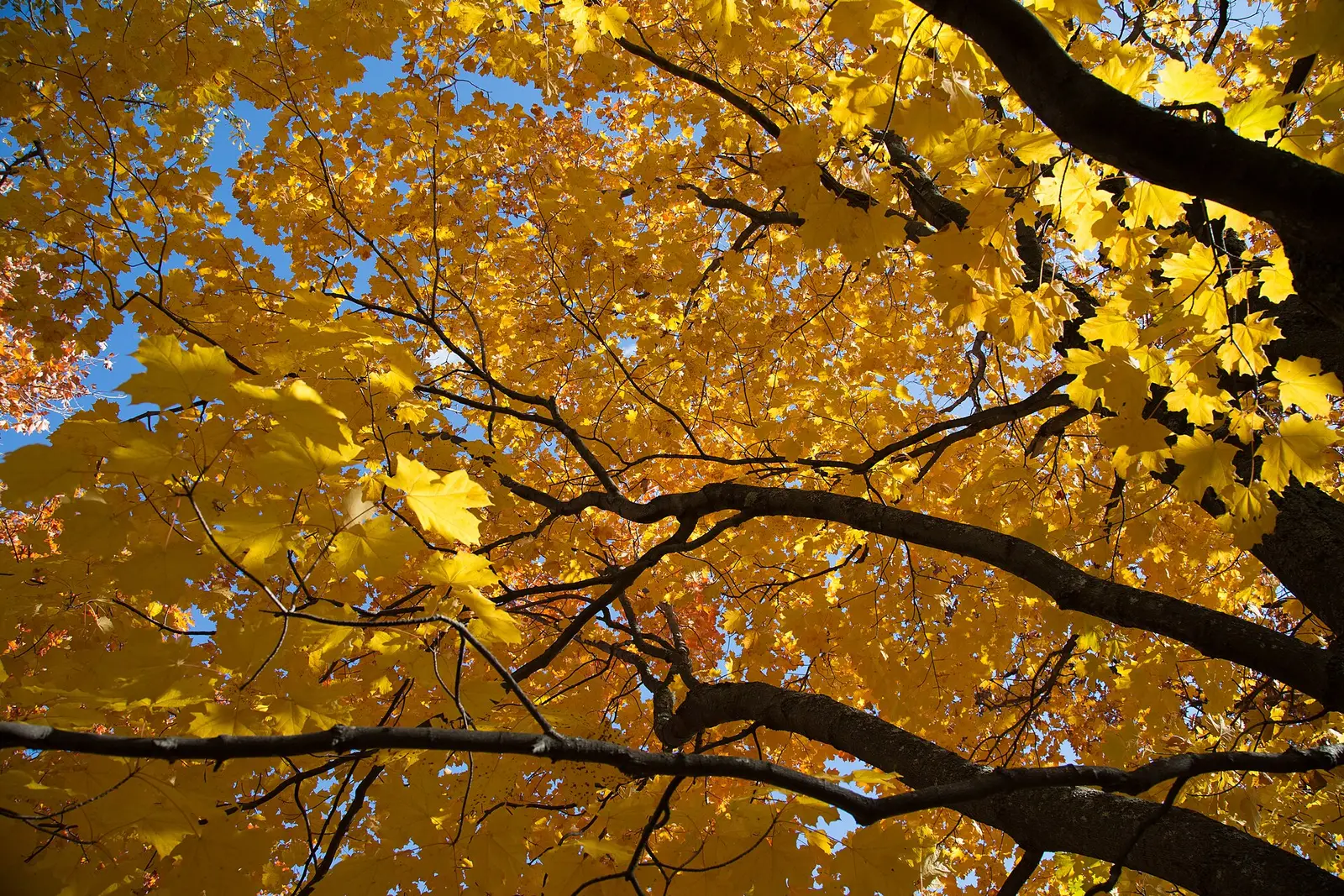
A September 9, 2026 DNR release states the pattern as typical, not as that year’s guess: fall colors usually peak from late September through mid-October, starting in the far northwest and north-central regions and working toward the southeast. Peak usually lasts about a week in each area. The Fall Color Finder map is two different things at once. Through today’s date it is this year’s observed progression. Future dates on the slider are historical averages, and the page says they are not a prediction for this year.
Explore Minnesota’s drive guide puts numbers on corridors. The North Shore, Iron Range, Edge of the Wilderness, and Mississippi headwaters are mid-September to early October. The North Shore article splits that further: highland color from mid-September through early October, and the shoreline from late September through mid-October. The Mississippi River valley from Red Wing to La Crescent is mid-October. Twin Cities drives are late September to mid-October.
Peak timing varies from year to year. A warm fall, an early frost, or a windstorm can move or mute the color, which is why the live report matters more than any calendar.
When color usually arrives
Far northwest and north-central
The DNR says the season starts there and works southeast, with about a week of peak in each area, across late September through mid-October overall. Explore Minnesota dates the North Shore highlands, the Iron Range, and the headwaters to mid-September through early October.
Typical pattern, Minnesota DNR and Explore Minnesota. Source: Minnesota DNR, September 9, 2026 foliage release.
North Shore shoreline versus the ridge
Explore Minnesota says the highland peak begins in mid-September and can run through early October, while the later shoreline peak starts in late September and runs through mid-October. Inland maples first, then aspen and birch along the shore, in that article’s wording.
Typical split, Explore Minnesota. Source: Explore Minnesota, North Shore fall colors.
Twin Cities and the southeast bluffs
Drive peaks for the St. Croix, Twin Cities, and Minnesota River are listed as late September to mid-October. The Mississippi valley from Red Wing to La Crescent is mid-October. An October 1, 2026 DNR note said central Minnesota typically sees its last 75 to 100 percent color over MEA weekend, which that release set as October 15–18, 2026, and that peak then moves into the metro and the south.
Drive guide, plus the 2026 MEA-weekend note. Source: Explore Minnesota, fall color drives.
Fall foliage map
Esri publishes a public ArcGIS experience called Fall Foliage Viewing. It is embedded here as a map you can pan. It is not the source of the dates on this site. If the embed is blocked or slow, the state reports linked above and below still stand on their own. For Minnesota, it opens centered on the state. The center is the middle of the state's bounding box in the U.S. Census Bureau cartographic boundary, 2017 edition. The colored prediction layer in the experience is the Massachusetts Department of Conservation and Recreation forecast published in that app. It is not a forecast for any other state.
Map of waterfalls in Minnesota
Larger gold markers are the waterfalls on this page's itinerary. Smaller markers are the other published waterfall pages in Minnesota. The outline is the U.S. Census Bureau cartographic boundary for the state (2017, public domain). A marker is the mapped position of the falls, not a trailhead.
Published waterfall page On this foliage trip
On this trip
- Gooseberry Falls, Lake County
- Minnehaha Falls, Hennepin County
- Minneopa Falls, Nicollet County
Other published waterfall pages in Minnesota
- Big Spring Falls, Pine County
- Caribou Falls, Lake County
- Cascade Falls, Cook County
- Illgen Falls, Lake County
- Little American Falls, Koochiching County
- Minnemishinona Falls, Nicollet County
- Pigeon Falls, Cook County
- Ramsey Falls, Redwood County
- Saint Anthony Falls, Hennepin County
- Shadow Falls, Ramsey County
- Wolf Creek Falls, Pine County
Open the interactive Minnesota waterfall map. That map also includes named falls that do not have their own page.
The live report
The map is updated with the current season. Future dates on the slider are historical averages. The general DNR line is 888-646-6367. Explore Minnesota’s trip line is 888-847-4866. Neither page called those numbers a foliage-only hotline. Minnesota DNR Fall Color Finder.
Waterfalls to see with the color
Gooseberry Falls is the North Shore page, filed at Two Harbors. That is the highland-versus-shoreline split: mid-September into early October on the ridge, late September through mid-October on the shore. Minnehaha Falls is the Hennepin County page, in the Twin Cities band of late September to mid-October. Minneopa Falls is Nicollet County, near Mankato, which is south of the metro and closer to the mid-October southeast timing than to the North Shore start. The Forest Service names the Gunflint Trail for birch, aspen, and tamarack. Gooseberry is the Lake Superior drive, not the Gunflint.
Gooseberry Falls
Lake County · nearest listed town Two Harbors
- Reviews
- 106 · 4.8 stars
Minnehaha Falls
Hennepin County · nearest listed town Mendota Heights
- Reviews
- 2,855 · 4.7 stars
Minneopa Falls
Nicollet County · nearest listed town North Mankato
- Reviews
- 184 · 4.7 stars
Trail name, distance, elevation, and difficulty come from data/trails.json or a hand-checked trip note when one exists. A missing row means that field was not in those files. Drop is shown only when the USGS gazetteer text states a height.
North Shore first, the Minnesota River later
Two Harbors is the early page. Minnehaha is the metro page. Minneopa is farther south. The DNR’s own order is northwest to southeast, and these three stops run north to south along that idea even though the northwest angle of the state is not where the waterfall pages are. Do not schedule Gooseberry and Minneopa as one peak day. The straight-line gap is the reason, and the drive guide’s different weeks are the other reason.
| From | To | Straight-line miles |
|---|---|---|
| Gooseberry Falls | Minnehaha Falls | 175.2 |
| Minnehaha Falls | Minneopa Falls | 68.4 |
Trees and the colors they are credited with
- Tamarack, maple, aspen, birch. The DNR commissioner’s September 9, 2026 note pairs bronze prairie grasses in the southwest, golden tamarack up north, and deep red maples. The North Shore page puts scarlet maples inland and yellow aspen and birch on the shore. The southeast bluffs are described as red, russet, and gold. (Minnesota DNR, September 9, 2026)
Frequently Asked Questions
When does Minnesota usually peak?
The DNR says late September through mid-October, starting in the far northwest and north-central regions and moving toward the southeast, with about a week of peak in each area.
What is the North Shore split?
Explore Minnesota says highlands from mid-September through early October, and the shoreline from late September through mid-October.
Are future dates on the DNR map a forecast?
No. The department says dates ahead of today are historical averages, not a prediction for this year. The observed progression is what the map shows up through today.
Photographs
Sources
- Minnesota DNR, September 9, 2026 foliage release
- Explore Minnesota, North Shore fall colors
- Explore Minnesota, fall color drives
- Minnesota DNR Fall Color Finder
- File:Fall Colors at Enger Park, Duluth, Minnesota (25010489549).jpg
- File:Brule River Fall Colors - Judge CR Magney State Park, Minnesota (37177116850).jpg
- File:Blesner Creek Autumn Sunset - Fall Colors at Superior National Forest, Minnesota (36763922793).jpg