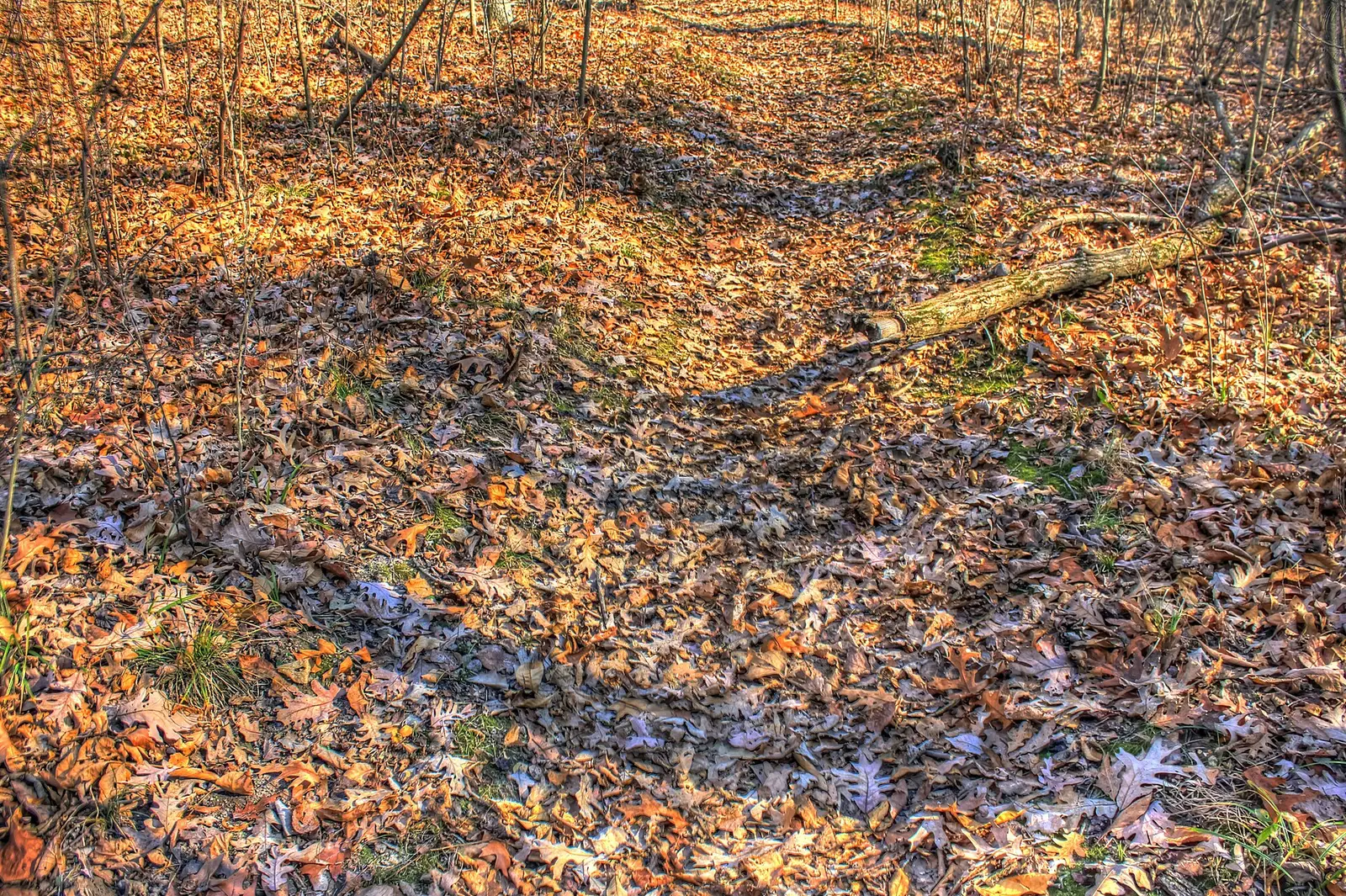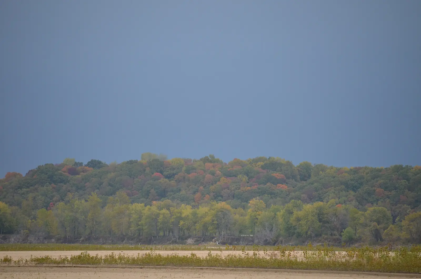
MDC’s fall color page gives a species sequence and a regional direction. Sassafras, sumac, and Virginia creeper begin in mid-September. By late September, black gum, bittersweet, and dogwood are turning. Peak is usually around mid-October, when maples, ashes, hickories, and oaks are at their height. By late October colors are usually fading. The season usually finishes by mid-November. The progression usually starts earliest in northern and western Missouri and moves south and east.
Visit Missouri’s September 28, 2026 leaf-peeping article says the season runs from the end of September through the middle of November, begins in the north, and peaks in mid-to-late October. That is a slightly later peak phrase than MDC’s “around mid-October.” Both are official. The weekly MDC posts are the tie-breaker. On November 12, 2026, MDC still had central, northeast, and northwest at peak, and Kansas City, the southeast, the southwest, and St. Louis past peak.
Peak timing varies from year to year. A warm fall, an early frost, or a windstorm can move or mute the color, which is why the live report matters more than any calendar.
When color usually arrives
North and west first
MDC says the change usually starts earliest in northern and western Missouri and moves south and east. Visit Missouri says the same north-to-south direction, with peak in mid-to-late October.
Typical pattern, MDC and Visit Missouri. Source: Missouri Department of Conservation, fall color.
Mid-October height
MDC says peak is usually around mid-October, when maples, ashes, hickories, and oaks are up. The early shrubs of mid-September are not that peak. They are the start.
Typical, MDC. Source: Missouri Department of Conservation, fall color.
What November 12, 2026 actually showed
Central, northeast, and northwest were still called peak. Kansas City, southeast, southwest, and St. Louis were past peak. That is one Wednesday, and it shows the south and the cities can be done while the north-central is not.
MDC status posted November 12, 2026. Source: Missouri Department of Conservation, fall color.
Fall foliage map
Esri publishes a public ArcGIS experience called Fall Foliage Viewing. It is embedded here as a map you can pan. It is not the source of the dates on this site. If the embed is blocked or slow, the state reports linked above and below still stand on their own. For Missouri, it opens centered on the state. The center is the middle of the state's bounding box in the U.S. Census Bureau cartographic boundary, 2017 edition. The colored prediction layer in the experience is the Massachusetts Department of Conservation and Recreation forecast published in that app. It is not a forecast for any other state.
Map of waterfalls in Missouri
Larger gold markers are the waterfalls on this page's itinerary. Smaller markers are the other published waterfall pages in Missouri. The outline is the U.S. Census Bureau cartographic boundary for the state (2017, public domain). A marker is the mapped position of the falls, not a trailhead.
Published waterfall page On this foliage trip
On this trip
- Mina Sauk Falls, Iron County
- Rocky Falls, Shannon County
- Shoal Creek Falls, Newton County
Other published waterfall pages in Missouri
- Chain of Rocks, St. Louis (city) County
- Rochester Falls, Andrew County
Open the interactive Missouri waterfall map. That map also includes named falls that do not have their own page.
The live report
Weekly reports usually post by Thursday evening from the second half of September into mid-November. MDC fall color reports.
Waterfalls to see with the color
Mina Sauk Falls is Iron County, in the St. Francois Mountains. Rocky Falls is Shannon County, in the Ozark interior. Both are south and east of the “starts in the north and west” line, so they belong nearer the mid-October peak and the slide toward November than to the first northern tint. Shoal Creek Falls is Newton County, in the southwest, which the November 12, 2026 status had already called past peak. The Forest Service names the Glade Top Trail for hickory, oak, and sassafras. That trail is Ozark color. It is not the Joplin page.
Mina Sauk Falls
Iron County · nearest listed town Ironton
- Trail
- Ozark Trail - Taum Sauk Section and Mina Sauk Falls Trail
- Distance
- 1.4 miles one way
- Reviews
- 73 · 4.8 stars
Rocky Falls
Shannon County · nearest listed town Winona
- Reviews
- 263 · 4.7 stars
Shoal Creek Falls
Newton County · nearest listed town Joplin
- Reviews
- 89 · 4.8 stars
Trail name, distance, elevation, and difficulty come from data/trails.json or a hand-checked trip note when one exists. A missing row means that field was not in those files. Drop is shown only when the USGS gazetteer text states a height.
Ozark interior at the mid-October height
Ironton and Winona are the Ozark pair to hold for the usual mid-October peak. Joplin is the southwestern page, and in 2026 that corner was already past on November 12 while the northeast was not. Use the Thursday MDC post to see which of those three sentences is true this week. The straight-line gap from Shannon County to Newton County is large enough that they are separate days.
| From | To | Straight-line miles |
|---|---|---|
| Mina Sauk Falls | Rocky Falls | 41.4 |
| Rocky Falls | Shoal Creek Falls | 183.8 |
Trees and the colors they are credited with
- From sassafras to oak. MDC’s order: sassafras, sumac, and Virginia creeper in mid-September; black gum, bittersweet, and dogwood by late September; maples, ashes, hickories, and oaks at the mid-October peak. The November 12, 2026 notes added sugar maple, dogwood, and sassafras in orange, yellow sycamore, red sumac, hickory and white oak in the northwest, and cinnamon bald-cypress needles in the southeast. (Missouri Department of Conservation, fall color)
Frequently Asked Questions
When is Missouri’s usual peak?
MDC says around mid-October. Visit Missouri says mid-to-late October. Both say the north starts first. Weekly MDC reports settle a given year.
What turns before the oaks?
MDC says sassafras, sumac, and Virginia creeper in mid-September, then black gum, bittersweet, and dogwood by late September. Maples, ashes, hickories, and oaks are the mid-October height.
Which falls are in the southwest?
Shoal Creek Falls in Newton County. Mina Sauk is Iron County. Rocky Falls is Shannon County.
Photographs