
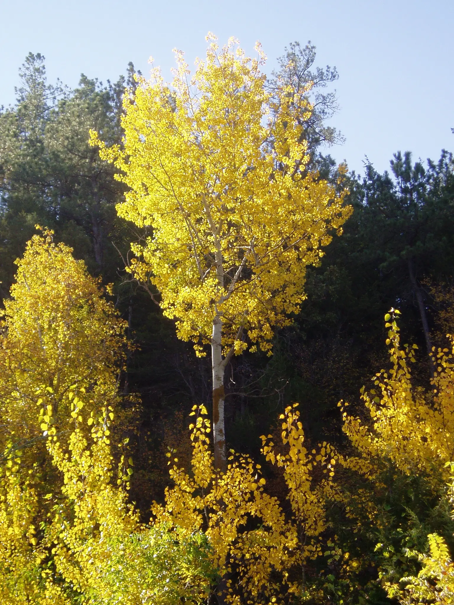
Nebraskaland, the Game and Parks magazine, gives the state a direction rather than a grid. As a general reference, fall color comes into view in northwestern Nebraska around the first of October and peaks in southeastern woodlands just before Halloween. The article calls October the month leaves turn in the state. One drive, from Arbor Lodge to Indian Cave, is recommended for mid-to-late October.
The published waterfall pages are not in the southeast. Smith Falls, Snake River Falls, and Fort Falls are all filed at Valentine, in Cherry County, which is north-central. That is closer to the “first of October” northwest start than to the Halloween southeast peak. The article’s general reference is what this page uses, and it says the northwest is the early end.
Peak timing varies from year to year. A warm fall, an early frost, or a windstorm can move or mute the color, which is why the live report matters more than any calendar.
When color usually arrives
Northwestern Nebraska
Around the first of October, color comes into view. The magazine offers that as a general reference, not as a surveyed peak day.
General reference, Nebraskaland, September 29, 2025. Source: Nebraskaland Magazine, the colors of October.
Southeastern woodlands
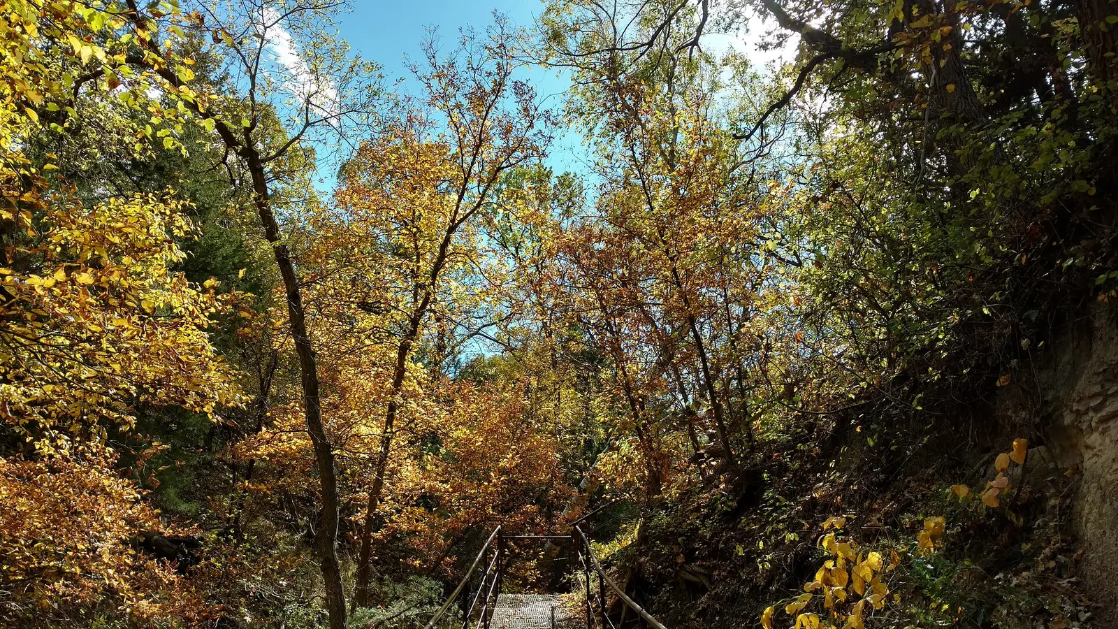
Peak just prior to Halloween. The Arbor Lodge to Indian Cave drive is the mid-to-late October recommendation, which sits on this later end of the state.
General reference, Nebraska Game and Parks. Source: Nebraskaland Magazine, the colors of October.
Fall foliage map
Esri publishes a public ArcGIS experience called Fall Foliage Viewing. It is embedded here as a map you can pan. It is not the source of the dates on this site. If the embed is blocked or slow, the state reports linked above and below still stand on their own. For Nebraska, it opens centered on the state. The center is the middle of the state's bounding box in the U.S. Census Bureau cartographic boundary, 2017 edition. The colored prediction layer in the experience is the Massachusetts Department of Conservation and Recreation forecast published in that app. It is not a forecast for any other state.
Map of waterfalls in Nebraska
Larger gold markers are the waterfalls on this page's itinerary. The outline is the U.S. Census Bureau cartographic boundary for the state (2017, public domain). A marker is the mapped position of the falls, not a trailhead.
On this foliage trip
On this trip
- Fort Falls, Cherry County
- Smith Falls, Cherry County
- Snake River Falls, Cherry County
Open the interactive Nebraska waterfall map. That map also includes named falls that do not have their own page.
The live report
No weekly foliage map was found. The Game and Parks essay is the timing source, and it is explicit that the dates are a general reference. Nebraskaland fall color essay.
Waterfalls to see with the color
All three published pages are in Cherry County at Valentine: Smith Falls, Snake River Falls, and Fort Falls. That is Niobrara country, in the north, so the first-of-October end of the Game and Parks reference is the closer fit. The Halloween peak is the southeastern woods, a different trip, and the magazine’s mid-to-late October drive is Arbor Lodge to Indian Cave, not the Niobrara.
Smith Falls
Cherry County · nearest listed town Valentine
- Trail
- Smith Falls Trail
- Drop
- 63 ft in the USGS gazetteer text
- Reviews
- 189 · 4.8 stars
Snake River Falls
Cherry County · nearest listed town Valentine
- Reviews
- 48 · 3.3 stars
Fort Falls
Cherry County · nearest listed town Valentine
- Reviews
- 36 · 4.7 stars
Trail name, distance, elevation, and difficulty come from data/trails.json or a hand-checked trip note when one exists. A missing row means that field was not in those files. Drop is shown only when the USGS gazetteer text states a height.
Valentine on the early end of the month
The three falls share a town in the directory, so the straight-line gaps should be short. Early October is the northwestern and northern reference. If you only have the week before Halloween, the essay is pointing you at southeastern woodlands, and these waterfall pages may already be past. The species note that matters on the river is cottonwood and ash, which the essay says yellow up, with ash dropping soon after it turns.
| From | To | Straight-line miles |
|---|---|---|
| Smith Falls | Snake River Falls | 31.1 |
| Snake River Falls | Fort Falls | 25.2 |
Trees and the colors they are credited with
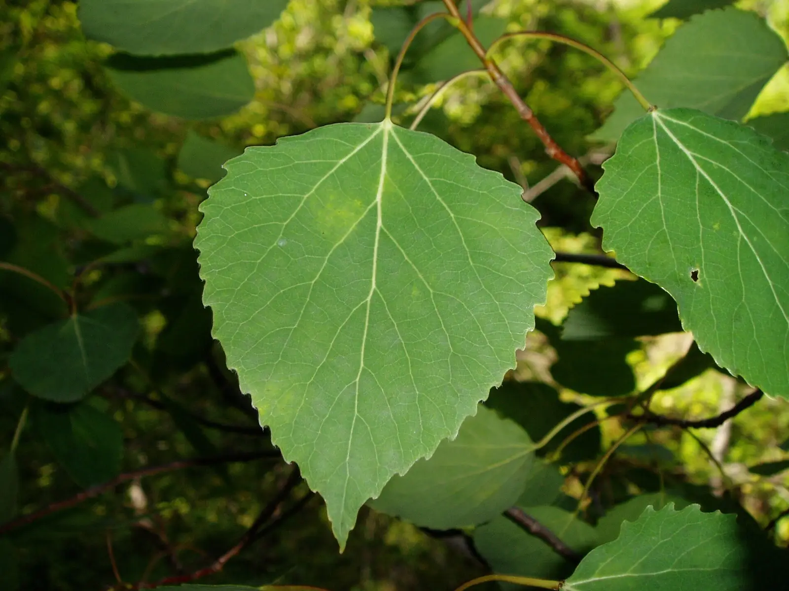
- Yellow is the common color. The essay says yellow is the most common fall leaf color in the state. It names sugar maple, red maple, oaks, green ash, cottonwood, quaking aspen, smooth sumac, and Virginia creeper. Green ash is one of the first to turn yellow, and its leaves fall shortly after. (Nebraskaland Magazine)
Frequently Asked Questions
When does northwestern Nebraska start to show color?
Around the first of October, as a general reference in the Game and Parks magazine. Southeastern woodlands peak just before Halloween.
What color should you expect?
The essay says yellow is the most common. Green ash turns early and drops soon after. Maples, oaks, cottonwood, aspen, sumac, and Virginia creeper are the other plants it names.
Where are the waterfall pages?
Smith Falls, Snake River Falls, and Fort Falls, all filed at Valentine in Cherry County, on the early end of the state’s calendar.
Photographs
Sources
- Nebraskaland Magazine, the colors of October
- File:The coming of autumn is marked by the turning of the aspen to bright yellow-gold. (f5ca5b09-155d-4519-3e84-2acf3fb2a389).JPG
- File:Aspen are found in the Niobrara Valley, hundreds of miles from their usual range. (f5c86055-155d-4519-3e3f-8ad97357d6f1).JPG
- File:A walk in the leaves (3e2a223c-9ed9-41d7-829a-c66782d62af2).jpg