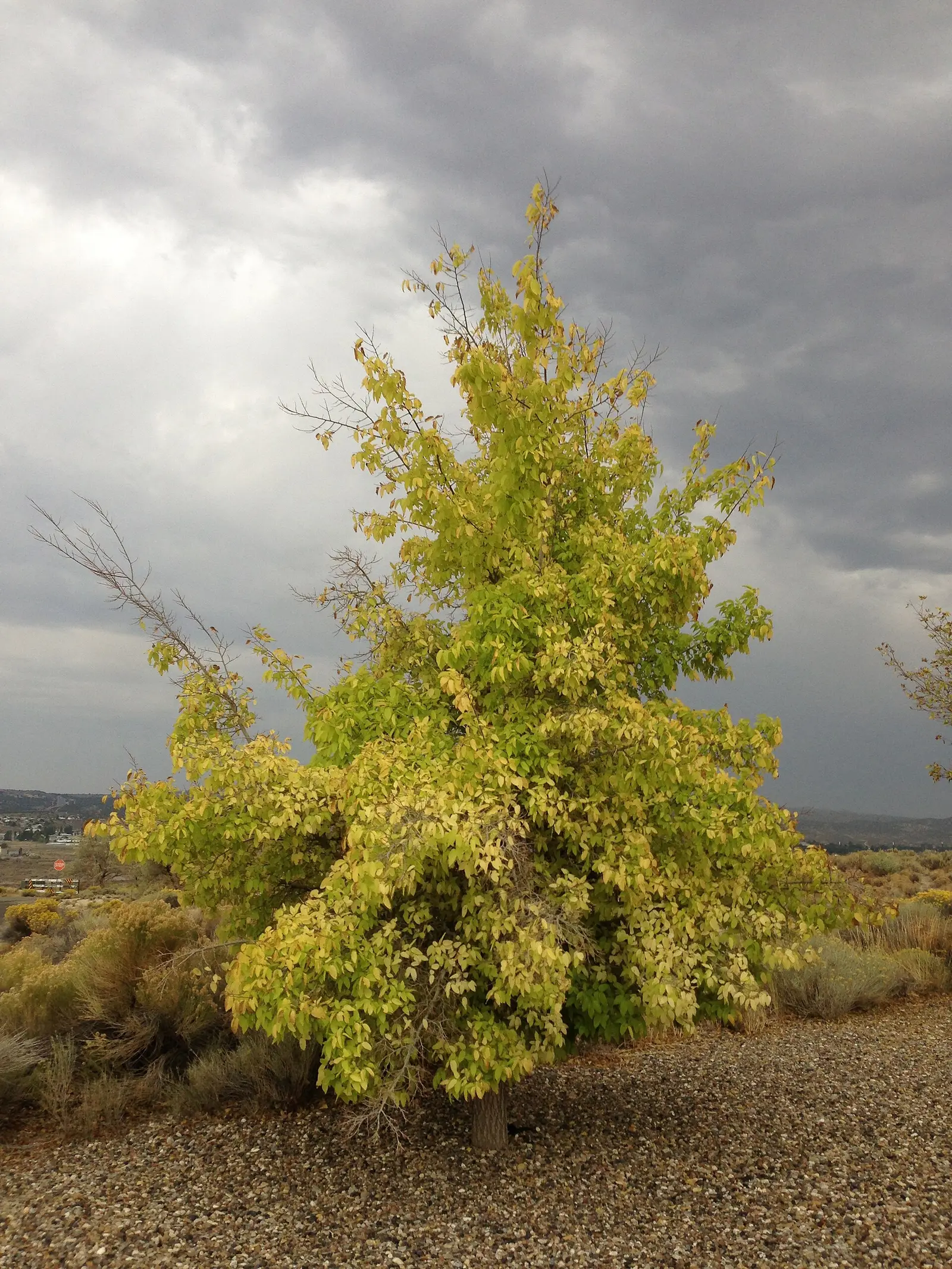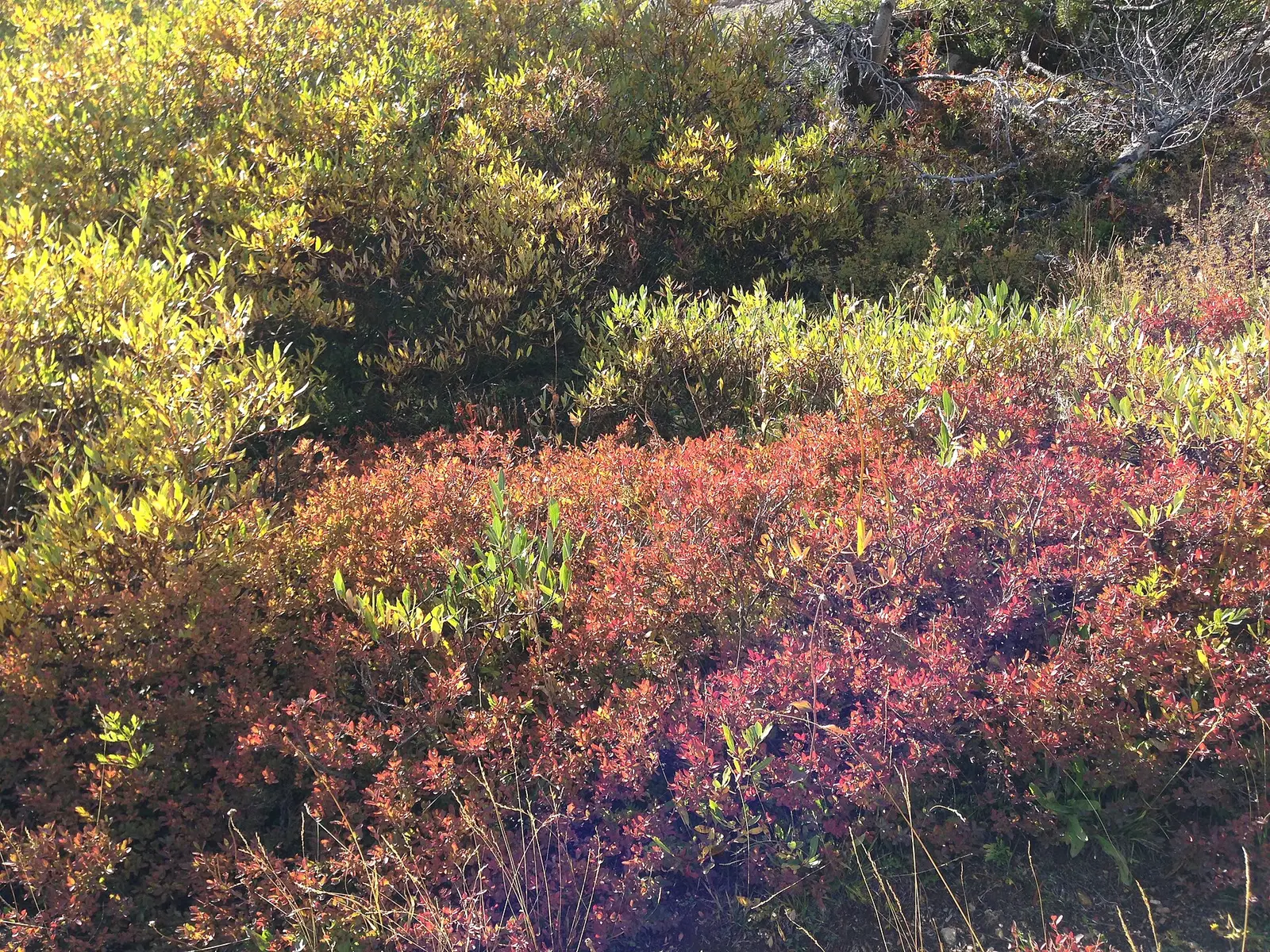
Nevada’s color is mountain aspen and riverside cottonwood, and the only month Travel Nevada prints is for Great Basin National Park: September or early October, before the snow returns. Lamoille Canyon, Harrison Pass, Copper Basin, and the Oxbow on the Truckee are recommended in the same article. Harrison Pass is “golden colors, but reds and oranges.” Copper Basin is “hundreds of acres of quaking aspen” with subalpine firs. Oxbow is cottonwood and willow. None of those sentences includes a week. The Forest Service, in a Utah section of the national guide, says Humboldt-Toiyabe color appears in cottonwood, mountain mahogany, and aspen, especially in the Spring Mountains and the Ruby Mountains, again with no date.
The Jarbidge road gets snow early and holds it late. Travel Nevada says to call the Outdoor Inn at (775) 488-2311 before driving in. That is an access note, not a peak date. Mary Jane Falls, in Clark County, is the Spring Mountains page. The dated trip is still Great Basin, on the other side of the state.
Peak timing varies from year to year. A warm fall, an early frost, or a windstorm can move or mute the color, which is why the live report matters more than any calendar.
When color usually arrives
Great Basin
September or early October, before the snow, for fall color the tourism article calls explosive. Success Loop near Ely is mentioned as an aspen drive on the way, without its own week.
Travel Nevada. Source: Travel Nevada, fall colors in northern Nevada.
Rubies, Copper Basin, and the Spring Mountains
Named, and not dated. Lamoille Canyon is a 12-mile paved byway. Copper Basin is the aspen basin on the way to Jarbidge. The Spring Mountains are the Forest Service’s southern example. This page will not assign them September just because Great Basin got September.
Places without a published week. Source: USDA Forest Service, Fall Colors.
Fall foliage map
Esri publishes a public ArcGIS experience called Fall Foliage Viewing. It is embedded here as a map you can pan. It is not the source of the dates on this site. If the embed is blocked or slow, the state reports linked above and below still stand on their own. For Nevada, it opens centered on the state. The center is the middle of the state's bounding box in the U.S. Census Bureau cartographic boundary, 2017 edition. The colored prediction layer in the experience is the Massachusetts Department of Conservation and Recreation forecast published in that app. It is not a forecast for any other state.
Map of waterfalls in Nevada
Larger gold markers are the waterfalls on this page's itinerary. The outline is the U.S. Census Bureau cartographic boundary for the state (2017, public domain). A marker is the mapped position of the falls, not a trailhead.
On this foliage trip
On this trip
- Big Falls, Clark County
- Little Falls, Clark County
- Mary Jane Falls, Clark County
Open the interactive Nevada waterfall map. That map also includes named falls that do not have their own page.
The live report
No weekly report was found. The Jarbidge access check is the Outdoor Inn, (775) 488-2311. Travel Nevada, northern Nevada fall color.
Waterfalls to see with the color
Mary Jane, Little, and Big Falls are all Clark County, filed at Pahrump. The coordinates put Mary Jane near 36.28 N, 115.67 W, which is the Spring Mountains, the southern range the Forest Service names for aspen and mahogany. They are not in Great Basin National Park, so they do not automatically take the September or early October sentence. They are the published waterfall pages in the undated southern range. The dated color trip remains Baker and Great Basin.
Mary Jane Falls
Clark County · nearest listed town Pahrump
- Reviews
- 92 · 4.8 stars
Little Falls
Clark County · nearest listed town Pahrump
- Reviews
- 60 · 4.7 stars
Big Falls
Clark County · nearest listed town Pahrump
- Reviews
- 30 · 4.8 stars
Trail name, distance, elevation, and difficulty come from data/trails.json or a hand-checked trip note when one exists. A missing row means that field was not in those files. Drop is shown only when the USGS gazetteer text states a height.
Great Basin for the dated week, the Spring Mountains for the falls
Baker is the September or early October destination if color is the reason for the trip. Pahrump and Mount Charleston are a Las Vegas-side day in the range the Forest Service says does color, without a week attached. The straight-line distance between those ideas is the width of Nevada. Do not drive the Jarbidge road for Copper Basin’s aspens without the snow call Travel Nevada prints.
| From | To | Straight-line miles |
|---|---|---|
| Mary Jane Falls | Little Falls | 1.9 |
| Little Falls | Big Falls | 1.5 |
Trees and the colors they are credited with
- Aspen, cottonwood, willow, mountain mahogany. Copper Basin is quaking aspen. Oxbow is cottonwood and willow. Harrison Pass adds reds and oranges to the gold. The Forest Service adds mountain mahogany on the Humboldt-Toiyabe, including the Spring Mountains and the Rubies. (Travel Nevada, fall colors in northern Nevada)
Frequently Asked Questions
When does Travel Nevada say to visit Great Basin for color?
September or early October, before the snow returns.
Are the Rubies dated too?
Not in that article. Lamoille Canyon, Harrison Pass, and Copper Basin are described, including aspen and red-orange color, without a month. The Jarbidge road needs a snow check at (775) 488-2311.
Where are the waterfall pages?
Mary Jane, Little, and Big Falls, all Clark County, in the Spring Mountains. They are not the Great Basin date.
Photographs