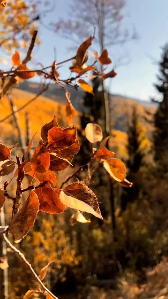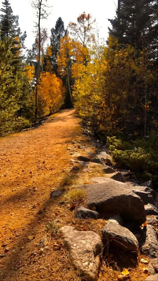
The state tourism department says areas around Taos, Red River, and the Sangre de Cristo Mountains often begin changing in mid-September, and that by late September and early October many mountain forests and byways are near their peak. Lower elevations and river corridors often peak later in October, especially where cottonwoods line the Rio Grande. The Forest Service wildflower page for the Santa Fe Ski Basin says the first week in October is usually the best. Aspen Vista, on the Santa Fe National Forest, is the grove the national guide names, without repeating that week.
Fourth of July Canyon is the maple spot in the tourism copy, red and orange, separate from the yellow aspen. Sitting Bull Falls, in Eddy County, is Guadalupe Mountains country in the southeast, not the Sangre de Cristo. It does not inherit the Taos week.
Peak timing varies from year to year. A warm fall, an early frost, or a windstorm can move or mute the color, which is why the live report matters more than any calendar.
When color usually arrives
Taos, Red River, and the Sangre de Cristo
Often begin in mid-September. Many mountain forests and byways are near peak by late September and early October. The Ski Basin is usually best the first week of October, which sits inside that mountain stretch.
New Mexico Tourism and the Forest Service Ski Basin page. Source: New Mexico Tourism, fall events.
Lower rivers
Often later in October, especially Rio Grande cottonwoods. The tourism page separates this from the high-mountain start on purpose.
New Mexico Tourism. Source: New Mexico Tourism, fall events.
Fall foliage map
Esri publishes a public ArcGIS experience called Fall Foliage Viewing. It is embedded here as a map you can pan. It is not the source of the dates on this site. If the embed is blocked or slow, the state reports linked above and below still stand on their own. For New Mexico, it opens centered on the state. The center is the middle of the state's bounding box in the U.S. Census Bureau cartographic boundary, 2017 edition. The colored prediction layer in the experience is the Massachusetts Department of Conservation and Recreation forecast published in that app. It is not a forecast for any other state.
Map of waterfalls in New Mexico
Larger gold markers are the waterfalls on this page's itinerary. The outline is the U.S. Census Bureau cartographic boundary for the state (2017, public domain). A marker is the mapped position of the falls, not a trailhead.
On this foliage trip
On this trip
- Jemez Falls, Sandoval County
- Nambe Falls, Santa Fe County
- Sitting Bull Falls, Eddy County
Open the interactive New Mexico waterfall map. That map also includes named falls that do not have their own page.
The live report
No weekly forest report was found. The tourism timing and the Ski Basin note are the dates. New Mexico Tourism fall page.
Waterfalls to see with the color
Jemez Falls is Sandoval County, in the Jemez Mountains, which the Forest Service names as a mixed conifer and hardwood drive separate from Aspen Vista. Nambe Falls is the Santa Fe County page, closer to the Ski Basin week of the first week of October than a desert fall would be. Sitting Bull Falls is Eddy County, in the southeast. The mid-September Taos start does not describe it. The later-October lower-elevation line is the only tourism sentence that could even loosely apply, and this page will not pretend the Guadalupe front is the Rio Grande bosque. Go to Sitting Bull for the water. Go to Taos and the Ski Basin for the dated aspen.
Jemez Falls
Sandoval County · nearest listed town Jemez Pueblo
- Trail
- Jemez Falls Overlook Trail
- Reviews
- 93 · 4.8 stars
Nambe Falls
Santa Fe County · nearest listed town Nambe
- Reviews
- 187 · 4.5 stars
Sitting Bull Falls
Eddy County · nearest listed town Carlsbad
- Trail
- Stitting Bull Falls Trail
- Reviews
- 450 · 4.7 stars
Trail name, distance, elevation, and difficulty come from data/trails.json or a hand-checked trip note when one exists. A missing row means that field was not in those files. Drop is shown only when the USGS gazetteer text states a height.
The Sangre de Cristo for the aspen week, not a three-falls loop
Nambe and Jemez are both northern pages and still not the same road. The Ski Basin’s first week of October is the Santa Fe date. Sitting Bull is hundreds of straight-line miles south, and the table will show it. The cottonwood week later in October is a river drive, which neither Jemez Falls nor Sitting Bull is. Plan the color and the waterfalls as overlapping only where the county actually sits in the mountains the tourism page named.
| From | To | Straight-line miles |
|---|---|---|
| Jemez Falls | Nambe Falls | 39.3 |
| Nambe Falls | Sitting Bull Falls | 258.3 |
Trees and the colors they are credited with
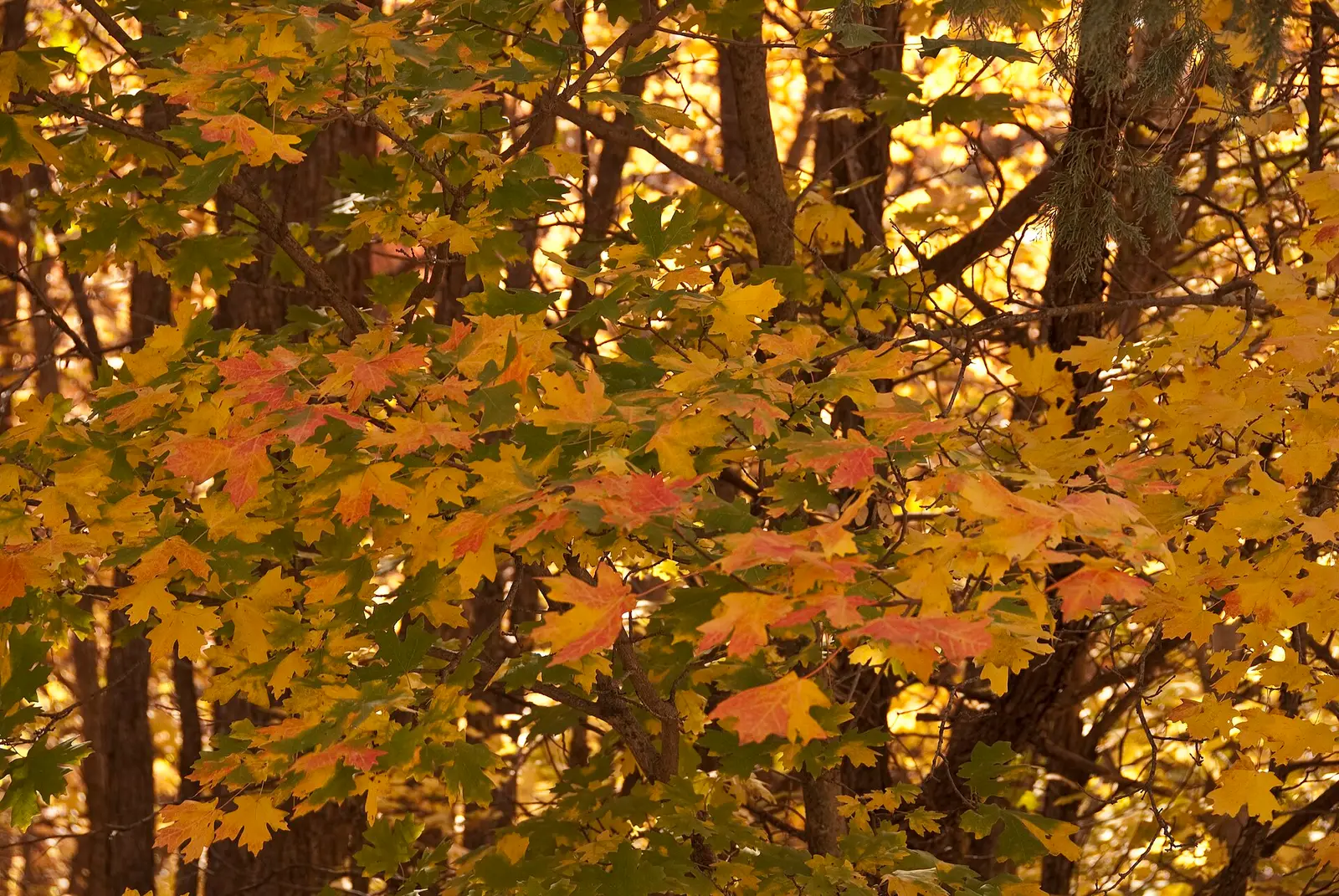
- Aspen, maple, cottonwood. Tourism says aspens turn bright yellow and yellow-orange. Fourth of July Canyon is the maple red and orange. Rio Grande corridors are cottonwoods. The Forest Service southwest guide adds bigtooth and Rocky Mountain maple in the canyons and oakbrush on the dry slopes. (New Mexico Tourism, fall events)
Frequently Asked Questions
When do the northern mountains start?
New Mexico Tourism says Taos, Red River, and the Sangre de Cristo often begin in mid-September, with many forests near peak by late September and early October. The Santa Fe Ski Basin is usually best the first week of October.
When are the cottonwoods?
Lower elevations and river corridors often peak later in October, especially along the Rio Grande.
Does Sitting Bull Falls share the Taos week?
No. It is in Eddy County. The Taos and Ski Basin dates are for the northern mountains.
Photographs