
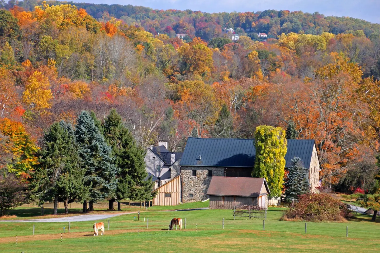
DCNR’s foliage pages are the most specific state forestry text in the Mid-Atlantic. In most years, the department says, northern counties are at their best October 1–10, central counties October 10–20, and south-central and southeastern counties October 20–31. Weekly reports run on Thursdays through the season. The 2025 series ran from late September into the first week of November, which is the length of that calendar, not a reason to ignore a warm year.
The Laurel Highlands get their own paragraph because the ridges peak before the valleys. DCNR says the highest ridge tops there peak about a week before the valleys and side slopes, and that fall color in the Laurel Highlands in general peaks around October 15–20. Black gum and some red maples are earlier, about October 1–10. Most red maples, sugar maples, black cherry, and sweet birch are about October 10–20. Oaks, yellow poplar, and beech run about October 20–30.
Peak timing varies from year to year. A warm fall, an early frost, or a windstorm can move or mute the color, which is why the live report matters more than any calendar.
When color usually arrives
Northern counties
DCNR says northern Pennsylvania counties reach their best autumn color October 1–10 in most years. Pike County, where Bushkill, Dingmans, and Raymondskill sit, is in that northern tier.
Typical window, “in most years,” DCNR. Source: Pennsylvania DCNR fall foliage reports.
Laurel Highlands
Around October 15–20 for the general peak. Ridge tops about a week before valleys. Species inside that window: black gum and some red maple October 1–10; red maple, sugar maple, black cherry, and sweet birch October 10–20; red, white, and chestnut oak, yellow poplar, and beech October 20–30.
Typical Laurel Highlands windows, DCNR. Source: Pennsylvania DCNR, Laurel Highlands foliage driving tours.
Central, then south-central and southeast
Central counties October 10–20. South-central and southeastern counties have the most color October 20–31. Hawk Falls is in Carbon County, which this page does not force into the northern sentence. Carbon sits on the ridge between the Poconos and the Ridge-and-Valley, so use the Thursday report if you are choosing between Hawk and a Pike County fall.
Typical windows, DCNR. Source: Pennsylvania DCNR fall foliage reports.
Fall foliage map
Esri publishes a public ArcGIS experience called Fall Foliage Viewing. It is embedded here as a map you can pan. It is not the source of the dates on this site. If the embed is blocked or slow, the state reports linked above and below still stand on their own. For Pennsylvania, it opens centered on the state. The center is the middle of the state's bounding box in the U.S. Census Bureau cartographic boundary, 2017 edition. The colored prediction layer in the experience is the Massachusetts Department of Conservation and Recreation forecast published in that app. It is not a forecast for any other state.
Map of waterfalls in Pennsylvania
Larger gold markers are the waterfalls on this page's itinerary. Smaller markers are the other published waterfall pages in Pennsylvania. The outline is the U.S. Census Bureau cartographic boundary for the state (2017, public domain). A marker is the mapped position of the falls, not a trailhead.
Published waterfall page On this foliage trip
On this trip
- Bushkill Falls, Pike County
- Cucumber Falls, Fayette County
- Dingmans Falls, Pike County
- Hawk Falls, Carbon County
- Raymondskill Falls, Pike County
Other published waterfall pages in Pennsylvania
- Adams Falls, Westmoreland County
- Cole Run Falls, Somerset County
- Creek Falls, Fayette County
- Dry Run Falls, Sullivan County
- Dutchman Falls, Sullivan County
- Hells Hollow Falls, Lawrence County
- Indian Ladder Falls, Monroe County
- Jonathan Run Falls, Fayette County
- Marshall Falls, Monroe County
- Marshalls Falls, Monroe County
- Nay Aug Falls, Lackawanna County
- Ohiopyle Falls, Fayette County
- Paradise Falls, Monroe County
- Quakertown Falls, Lawrence County
- Shohola Falls, Pike County
- Silverthread Falls, Pike County
- Wangum Falls, Wayne County
Open the interactive Pennsylvania waterfall map. That map also includes named falls that do not have their own page.
The live report
Reports are released on Thursdays in peak season. The page keeps the current year and the previous seasons as PDFs. DCNR weekly fall foliage reports.
Waterfalls to see with the color
Bushkill, Dingmans, and Raymondskill are Pike County pages, the northern October 1–10 window. The USGS text gives Dingmans a 130-foot drop. Hawk Falls is Carbon County. Cucumber Falls is Fayette County, in the Laurel Highlands, where DCNR’s general peak is around October 15–20 and the oak and beech color runs later, toward October 20–30. DCNR’s own southern driving loop stops at the Ohiopyle overlook, which is this same Fayette County gorge.
Bushkill Falls
Pike County · nearest listed town Saw Creek
- Reviews
- 1,478 · 4.5 stars
Dingmans Falls
Pike County · nearest listed town Birchwood Lakes
- Trail
- Dingmans Creek Trail
- Drop
- 130 ft in the USGS gazetteer text
- Reviews
- 619 · 4.8 stars
Raymondskill Falls
Pike County · nearest listed town Milford
- Trail
- Raymondskill / Creek Trail
- Distance
- 0.3 mile loop
- Elevation
- About 178 feet
- Difficulty
- Easy to moderate: short but steep and uneven
- Reviews
- 310 · 4.8 stars
Hawk Falls
Carbon County · nearest listed town Towamensing Trails
- Trail
- Hawk Falls Trail
- Distance
- About 1.2 miles round trip
- Difficulty
- Easy
- Reviews
- 375 · 4.6 stars
Cucumber Falls
Fayette County · nearest listed town Dunbar
- Trail
- Meadow Run Trail
- Distance
- About 1 mile one way
- Difficulty
- Easy to moderate; stairs and rocky footing near the falls
- Reviews
- 314 · 4.9 stars
Trail name, distance, elevation, and difficulty come from data/trails.json or a hand-checked trip note when one exists. A missing row means that field was not in those files. Drop is shown only when the USGS gazetteer text states a height.
Pike County early, Fayette County on the Highland week
The three Pike pages are the early cluster. Dingmans and Raymondskill are both near Milford. Bushkill is in the same county. Cucumber Falls is the southwestern leg, and the straight-line mileage will show it. DCNR’s northern loop for the Laurel Highlands starts at Donegal and uses PA 711. That is their driving tour. It is not a route that passes the Pike County falls.
If the Thursday report says the northern counties are past and the Highlands still have oak and beech, skip Pike and go to Cucumber. The species calendar is the reason: maples in the Highlands are quoted for October 10–20, oaks for October 20–30.
| From | To | Straight-line miles |
|---|---|---|
| Bushkill Falls | Dingmans Falls | 10.1 |
| Dingmans Falls | Raymondskill Falls | 4.8 |
| Raymondskill Falls | Hawk Falls | 45.6 |
| Hawk Falls | Cucumber Falls | 218.3 |
Trees and the colors they are credited with
- Sugar maple against oak-hickory. DCNR says most of southern Pennsylvania is oak-hickory, while the Laurel Highlands’ elevation pulls northern hardwoods, including sugar maple, beech, red maple, black cherry, and sweet birch, onto the high plateaus. That mix is why the department says the Highlands can rival New England in a good year. The claim is theirs. (Pennsylvania DCNR, Laurel Highlands notes)
- Characteristic colors. On the same DCNR color essay: oaks red, brown, or russet; hickories golden bronze; aspen and yellow-poplar golden yellow; dogwood purplish red; beech light tan; sourwood and black tupelo crimson; red maple scarlet; sugar maple orange-red. (Pennsylvania DCNR, why leaves change)
Frequently Asked Questions
When are northern Pennsylvania counties usually best?
DCNR says October 1–10 in most years. Central counties are October 10–20. South-central and southeastern counties are October 20–31.
What is special about the Laurel Highlands?
Ridge tops peak about a week before the valleys. The general peak is around October 15–20, with black gum earlier and oaks, yellow poplar, and beech closer to October 20–30.
Which falls match which window?
Bushkill, Dingmans, and Raymondskill are Pike County, the northern window. Cucumber Falls is Fayette County, the Laurel Highlands window. Hawk Falls is Carbon County. Use the Thursday report between them.
Photographs
Sources
- Pennsylvania DCNR fall foliage reports
- File:Fall colors in Upper Uwchan Township, Pennsylvania.jpg
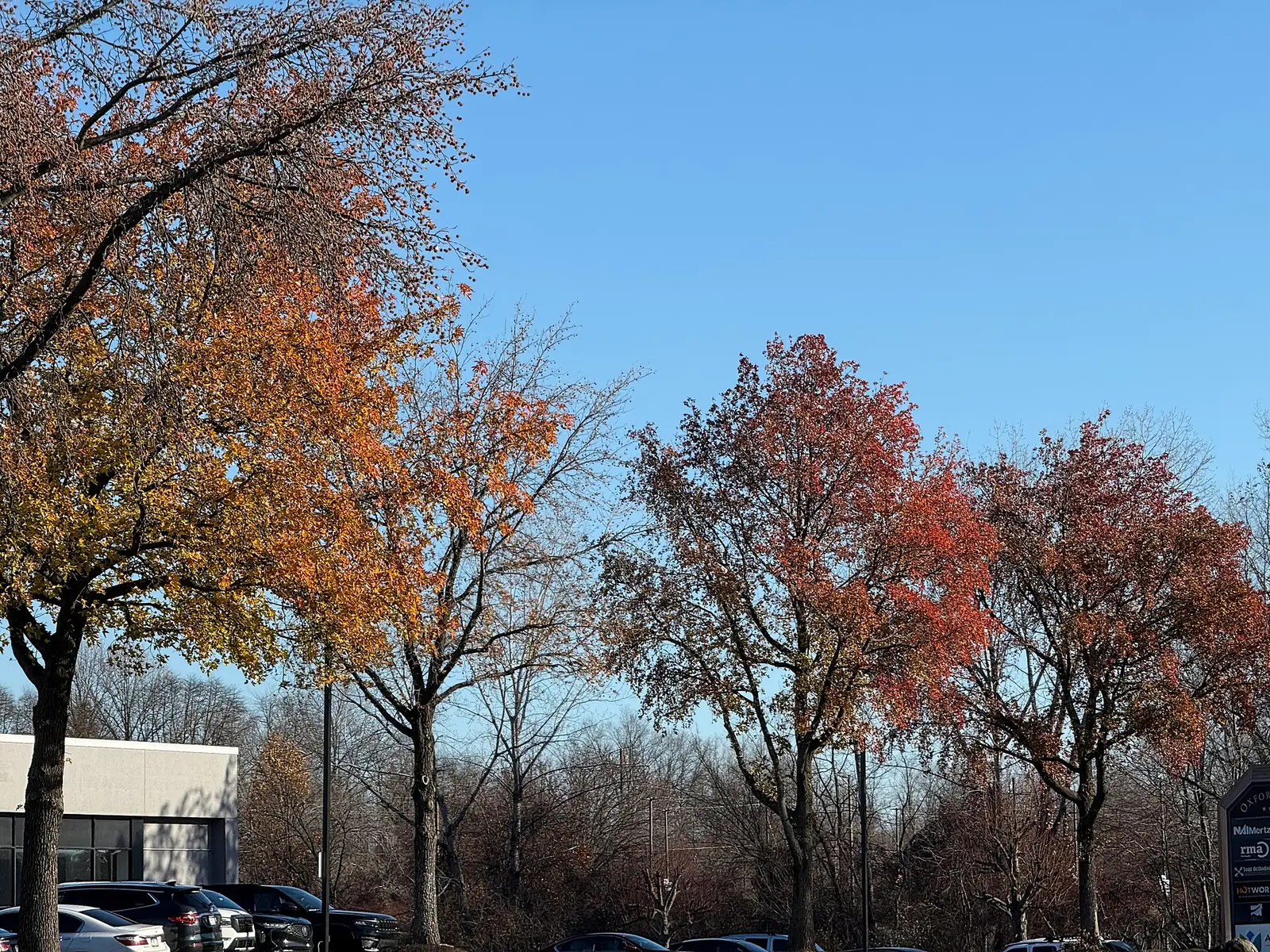
- File:2025-11-28 09 31 15 Sweet Gums changing color in autumn along North Bucks Town Drive in Middletown Township, Bucks County, Pennsylvania.jpg
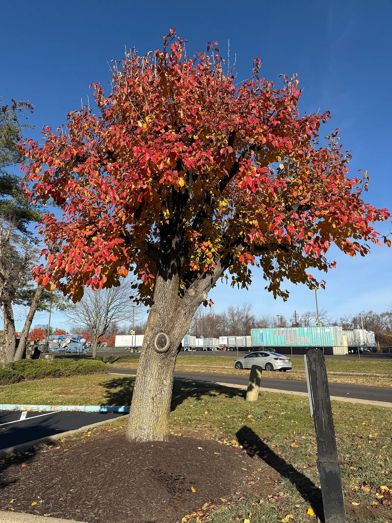
- File:2025-11-28 09 32 38 A pollarded Bradford Pear in autumn along Town Center Drive in Middletown Township, Bucks County, Pennsylvania.jpg