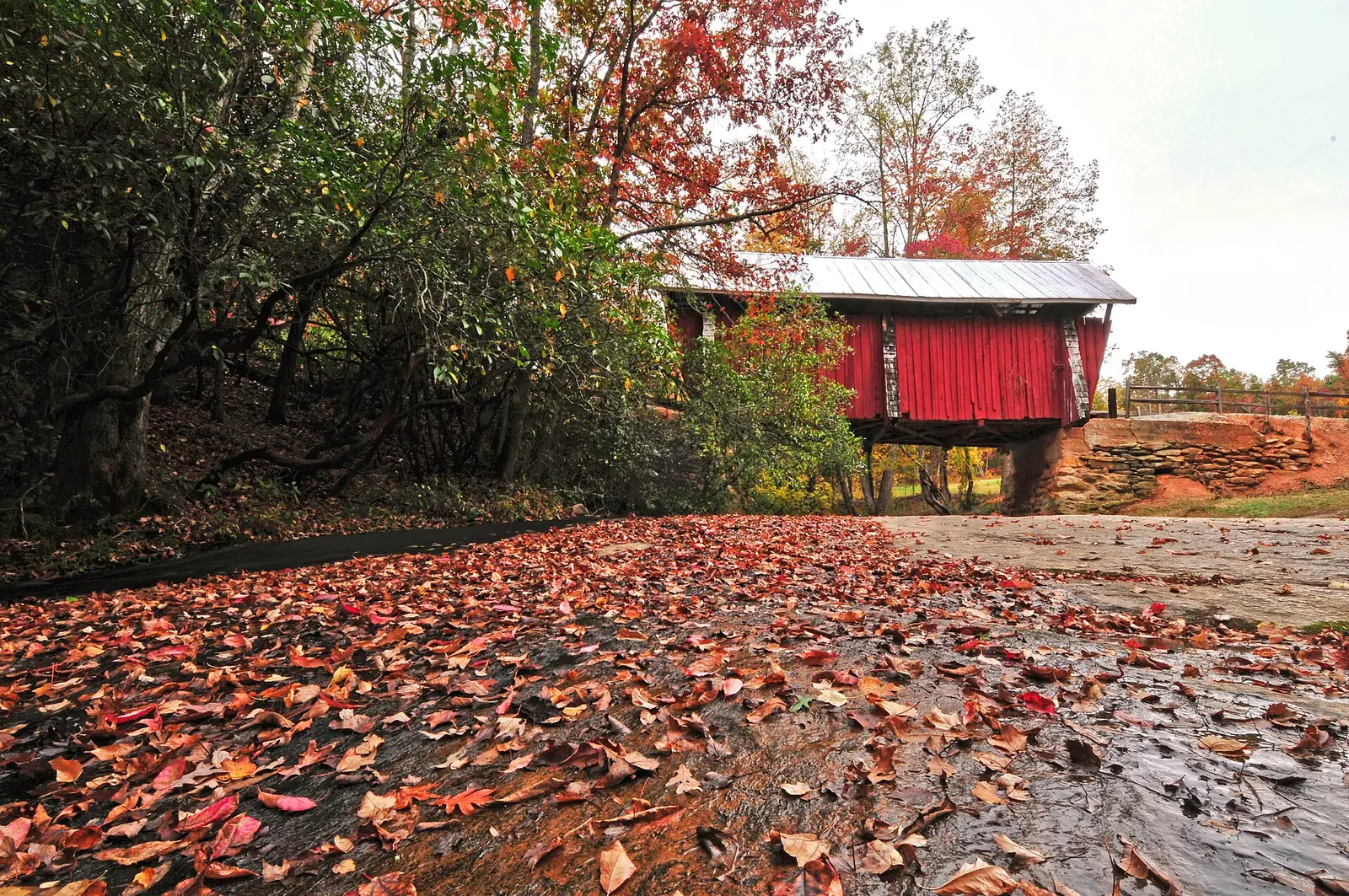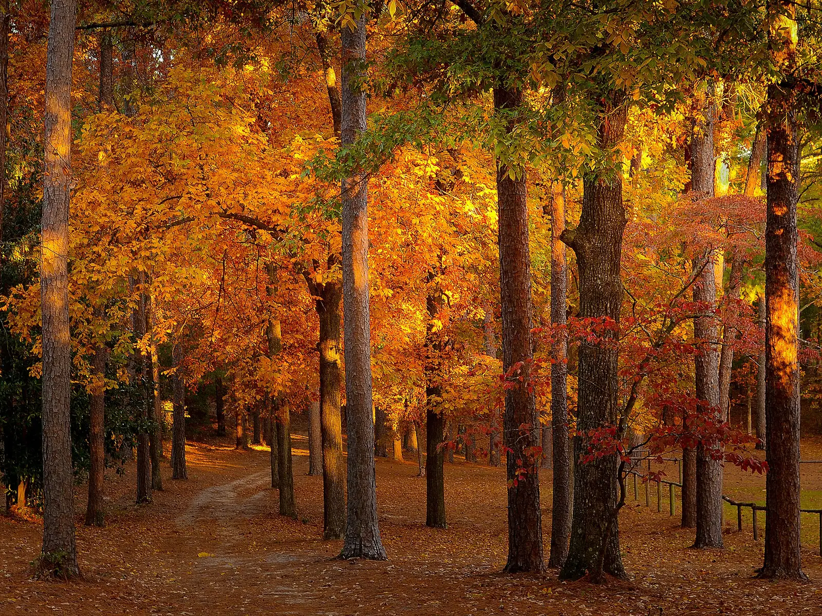
South Carolina State Parks says the typical statewide peak sits between mid-October and early November, and it tells visitors to start in the mountains in mid-to-late October and work toward the coast in November. That is the pattern. The 2026 weekly notes used here are from Table Rock, in the mountains, and they are a single park’s season, not a rewrite of the statewide line.
The published waterfall pages are all in the mountain counties: Oconee and Pickens for Isaqueena, Kings Creek, and Reedy Cove, and Greenville for Raven Cliff and Rainbow. They belong on the mid-to-late October mountain instruction, not on the November coast instruction.
Peak timing varies from year to year. A warm fall, an early frost, or a windstorm can move or mute the color, which is why the live report matters more than any calendar.
When color usually arrives
Mountains
State Parks says to begin in the mountains in mid-to-late October. At Table Rock, the October 28, 2026 note said the writer believed peak was arriving between then and early the next week. The November 11 note said the season there was ending.
Typical window, plus Table Rock’s 2026 weeks. Source: South Carolina State Parks, Looking forward to Fall.
Down toward the coast
The same story says to work toward the coast in November. It does not name a city-by-city peak. The statewide bracket is mid-October to early November.
Typical pattern, State Parks. Source: South Carolina State Parks, Looking forward to Fall.
Fall foliage map
Esri publishes a public ArcGIS experience called Fall Foliage Viewing. It is embedded here as a map you can pan. It is not the source of the dates on this site. If the embed is blocked or slow, the state reports linked above and below still stand on their own. For South Carolina, it opens centered on the state. The center is the middle of the state's bounding box in the U.S. Census Bureau cartographic boundary, 2017 edition. The colored prediction layer in the experience is the Massachusetts Department of Conservation and Recreation forecast published in that app. It is not a forecast for any other state.
Map of waterfalls in South Carolina
Larger gold markers are the waterfalls on this page's itinerary. Smaller markers are the other published waterfall pages in South Carolina. The outline is the U.S. Census Bureau cartographic boundary for the state (2017, public domain). A marker is the mapped position of the falls, not a trailhead.
Published waterfall page On this foliage trip
On this trip
- Isaqueena Falls, Oconee County
- Kings Creek Falls, Oconee County
- Raven Cliff Falls, Greenville County
Other published waterfall pages in South Carolina
- Great Falls of Catawba, Chester County
- Hidden Falls, Oconee County
- Lower Falls, Oconee County
- Rainbow Falls, Greenville County
- Reedy Cove Falls, Pickens County
Open the interactive South Carolina waterfall map. That map also includes named falls that do not have their own page.
The live report
Upstate park reports are posted on the fall foliage page. No foliage hotline is printed there. South Carolina State Parks fall foliage.
Waterfalls to see with the color
Isaqueena Falls and Kings Creek Falls are Oconee County, Walhalla country, which is the mountain start of the State Parks instruction. Raven Cliff Falls is Greenville County, still in the Upstate rather than on the coastal plain. Reedy Cove Falls in Pickens County is another mountain page if you want a fourth stop in the same mid-to-late October band. None of these is a November coast fall.
Isaqueena Falls
Oconee County · nearest listed town Walhalla
- Distance
- 0.4 mile round trip
- Difficulty
- Easy
- Reviews
- 230 · 4.7 stars
Kings Creek Falls
Oconee County · nearest listed town Walhalla
- Trail
- King Creek Trail
- Reviews
- 68 · 4.9 stars
Raven Cliff Falls
Greenville County · nearest listed town Slater-Marietta
- Reviews
- 67 · 4.7 stars
Trail name, distance, elevation, and difficulty come from data/trails.json or a hand-checked trip note when one exists. A missing row means that field was not in those files. Drop is shown only when the USGS gazetteer text states a height.
Upstate in the mountain fortnight
Walhalla to the Greenville escarpment is one mountain region. The straight-line miles are short relative to a coast-to-mountains drive, and the State Parks story is the reason not to save these trailheads for the November coastal week. Table Rock’s 2026 notes are a check: by November 11 that park was calling the season over.
| From | To | Straight-line miles |
|---|---|---|
| Isaqueena Falls | Kings Creek Falls | 11.1 |
| Kings Creek Falls | Raven Cliff Falls | 27.2 |
Trees and the colors they are credited with
- Red maple, dogwood, sweetgum, tulip poplar, beech. The October 1, 2026 Table Rock report said red maples, dogwoods, sweetgums, and tulip poplars were starting to show red, yellow, and gold. The November 11 report said beeches were the last yellow. (South Carolina State Parks, Table Rock 2026 reports)
Frequently Asked Questions
When should you start in the South Carolina mountains?
State Parks says mid-to-late October, then move toward the coast in November. The statewide bracket is mid-October to early November.
What happened at Table Rock in 2026?
The October 28 note expected peak between then and early the next week. The November 11 note said the season was ending, with beeches still yellow.
Which waterfall counties match the mountain week?
Oconee for Isaqueena and Kings Creek, Greenville for Raven Cliff, Pickens for Reedy Cove.
Photographs