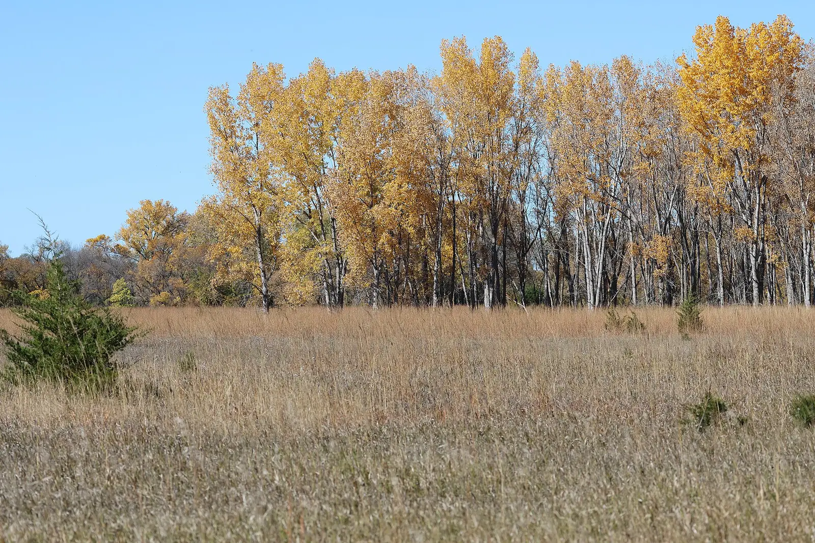
Travel South Dakota’s viewing guide says prime season is mid-September through mid-October. High-elevation country such as the Black Hills typically peaks earlier, and lower-lying areas follow a week or two behind. Spearfish Canyon is split again: higher elevations turn as early as late September into early October, and the canyon bottom usually peaks in mid-October. Custer State Park’s hills turn in late September and early October.
The Forest Service names Spearfish Canyon for maples, birch, and oak against limestone, and it does not add a date. The tourism guide is the calendar. Spearfish Falls and Roughlock Falls are the canyon pages. Cascade Falls, in Fall River County at Hot Springs, is south of the canyon and closer to the “lower country a week or two later” line than to the canyon-bottom mid-October sentence. This page does not force Hot Springs onto the canyon date.
Peak timing varies from year to year. A warm fall, an early frost, or a windstorm can move or mute the color, which is why the live report matters more than any calendar.
When color usually arrives
Black Hills high ground
Typically earlier than the lower country, inside a prime season of mid-September through mid-October. Custer State Park’s rolling hills turn in late September and early October.
Typical, Travel South Dakota. Source: Travel South Dakota, fall colors viewing guide.
Spearfish Canyon
Higher elevations as early as late September into early October. Canyon bottom usually mid-October. The tourism photo essay is the source of that split. The Forest Service description of maple, birch, and oak is the species note, without dates.
Typical, Travel South Dakota photo essay. Source: Travel South Dakota, Spearfish Canyon.
Lower country
A week or two behind the Black Hills, in the viewing guide. No separate Badlands or prairie week was printed beyond that lag.
Typical lag, Travel South Dakota. Source: Travel South Dakota, fall colors viewing guide.
Fall foliage map
Esri publishes a public ArcGIS experience called Fall Foliage Viewing. It is embedded here as a map you can pan. It is not the source of the dates on this site. If the embed is blocked or slow, the state reports linked above and below still stand on their own. For South Dakota, it opens centered on the state. The center is the middle of the state's bounding box in the U.S. Census Bureau cartographic boundary, 2017 edition. The colored prediction layer in the experience is the Massachusetts Department of Conservation and Recreation forecast published in that app. It is not a forecast for any other state.
Map of waterfalls in South Dakota
Larger gold markers are the waterfalls on this page's itinerary. Smaller markers are the other published waterfall pages in South Dakota. The outline is the U.S. Census Bureau cartographic boundary for the state (2017, public domain). A marker is the mapped position of the falls, not a trailhead.
Published waterfall page On this foliage trip
On this trip
- Cascade Falls, Fall River County
- Roughlock Falls, Lawrence County
- Spearfish Falls, Lawrence County
Other published waterfall pages in South Dakota
- Thunderhead Falls, Pennington County
Open the interactive South Dakota waterfall map. That map also includes named falls that do not have their own page.
The live report
No weekly field report was found. The viewing guide and the Spearfish essay are the timing sources. Travel South Dakota fall colors guide.
Waterfalls to see with the color
Spearfish Falls and Roughlock Falls are both Lawrence County, filed at Lead, in the canyon the tourism essay splits by elevation. The trail file names a canyon-floor nature trail at Spearfish Falls, which is the canyon-bottom case: usually mid-October, not the late-September rim. Cascade Falls is Fall River County. It is the lower-country page, a week or two after the Hills in the viewing guide, and it is not a Spearfish trailhead.
Spearfish Falls
Lawrence County · nearest listed town Lead
- Trail
- Spearfish Canyon Floor Nature Hiking Trail
- Reviews
- 174 · 4.8 stars
Roughlock Falls
Lawrence County · nearest listed town Lead
- Reviews
- 127 · 4.8 stars
Cascade Falls
Fall River County · nearest listed town Hot Springs
- Reviews
- 145 · 4.7 stars
Trail name, distance, elevation, and difficulty come from data/trails.json or a hand-checked trip note when one exists. A missing row means that field was not in those files. Drop is shown only when the USGS gazetteer text states a height.
The canyon floor in mid-October
Lead is the pair to schedule on the canyon-bottom week if you are walking the floor trail. High pullouts in the same canyon can be earlier, which the essay says outright. Hot Springs is the extra stop if you are still in the state a week or two after the Hills have peaked. The straight-line gap is the spacing. It is not a Forest Service scenic-byway log. The byway they name is Spearfish Canyon itself.
| From | To | Straight-line miles |
|---|---|---|
| Spearfish Falls | Roughlock Falls | 0.7 |
| Roughlock Falls | Cascade Falls | 73.7 |
Trees and the colors they are credited with
- Aspen, birch, maple, and oak. The viewing guide puts golden aspen and birch against spruce and pine. The Spearfish essay names aspen and birch, with Black Hills spruce, ponderosa pine, and quaking aspen in the mix. The Forest Service adds maple and oak in the canyon. (USDA Forest Service, Fall Colors)
Frequently Asked Questions
When is prime season in South Dakota?
Mid-September through mid-October. The Black Hills typically peak earlier than lower country, which follows a week or two behind.
When is the bottom of Spearfish Canyon?
Usually mid-October. Higher elevations in the canyon turn as early as late September into early October. Custer State Park’s hills are late September and early October.
Which falls are in the canyon?
Spearfish Falls and Roughlock Falls, both Lawrence County. Cascade Falls at Hot Springs is the Fall River County page, outside that canyon date.
Photographs