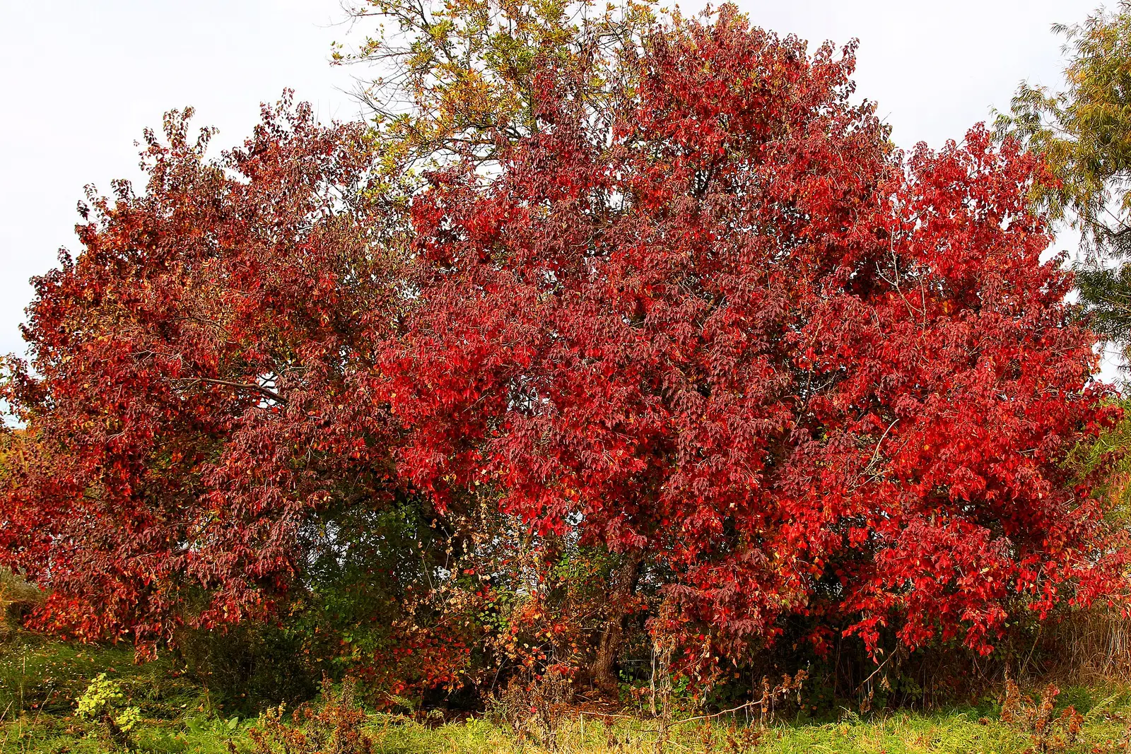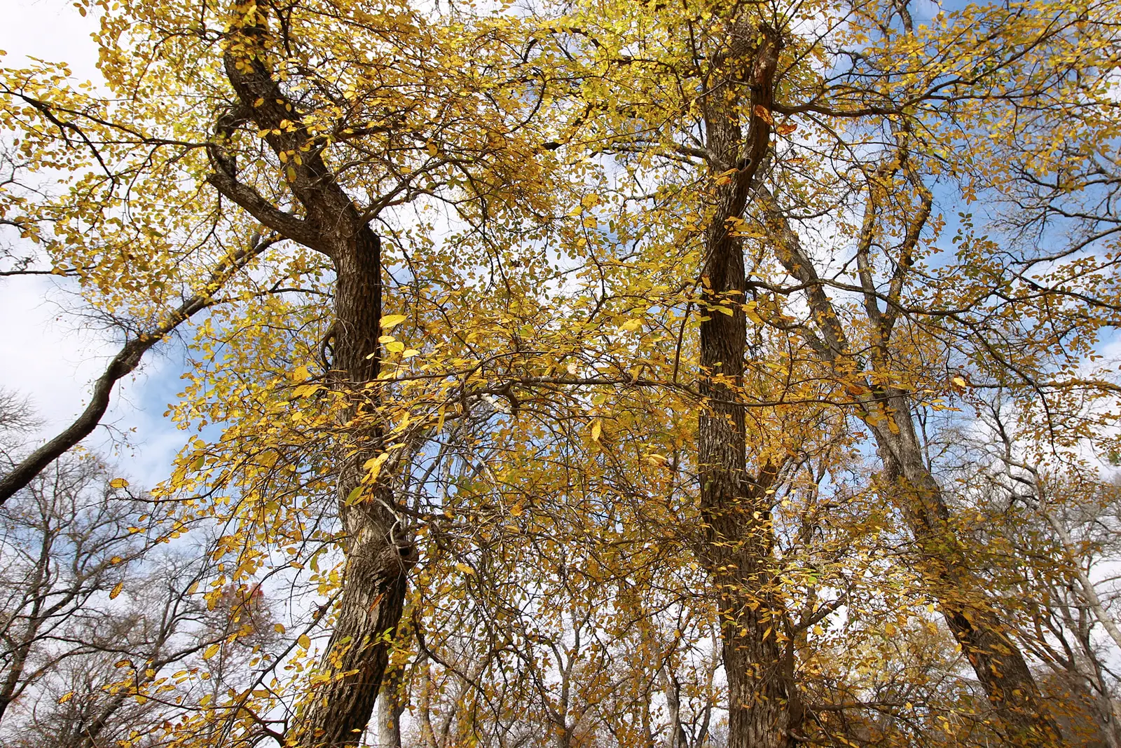
The only Texas peak window this guide will print is the one Texas Parks and Wildlife puts on Lost Maples State Natural Area: the foliage changes color the last two weeks of October through the first two weeks of November, depending on the weather. The park’s nature page ties that show to a large, isolated stand of Uvalde bigtooth maple. The weekly foliage report is the in-season status. On November 17, 2026 the report said the trees were still mostly green, a few were starting to show color, and most of the sycamores that had turned yellow were losing leaves. That week was not a normal “first two weeks of November” peak, which is why the live report exists.
A statewide calendar for east Texas pines and hardwoods was not on the pages opened here. The Forest Service’s southern-region list includes Texas and does not feature a Texas forest with a date. This page refuses to stretch the Lost Maples fortnight across Houston or the Piney Woods.
Peak timing varies from year to year. A warm fall, an early frost, or a windstorm can move or mute the color, which is why the live report matters more than any calendar.
When color usually arrives
Lost Maples and the Sabinal Canyon
Last two weeks of October through the first two weeks of November, weather depending. The trees TPWD names are Uvalde bigtooth maples. The November 17, 2026 report is a counterexample: mostly green, with yellow sycamores already dropping.
Typical window on the nature page; November 17, 2026 was a late, still-green week. Source: Texas Parks and Wildlife, Lost Maples nature.
The rest of Texas
No regional peak week from TPWD or the Forest Service was verified for east, north, or west Texas. Those regions are omitted on purpose. If a later official report prints them, they belong here. They do not belong as a guess.
Not published in the sources used. Source: Texas Parks and Wildlife, Lost Maples foliage reports.
Fall foliage map
Esri publishes a public ArcGIS experience called Fall Foliage Viewing. It is embedded here as a map you can pan. It is not the source of the dates on this site. If the embed is blocked or slow, the state reports linked above and below still stand on their own. For Texas, it opens centered on the state. The center is the middle of the state's bounding box in the U.S. Census Bureau cartographic boundary, 2017 edition. The colored prediction layer in the experience is the Massachusetts Department of Conservation and Recreation forecast published in that app. It is not a forecast for any other state.
Map of waterfalls in Texas
Larger gold markers are the waterfalls on this page's itinerary. Smaller markers are the other published waterfall pages in Texas. The outline is the U.S. Census Bureau cartographic boundary for the state (2017, public domain). A marker is the mapped position of the falls, not a trailhead.
Published waterfall page On this foliage trip
On this trip
- Chalk Ridge Falls, Bell County
- Gorman Falls, San Saba County
Other published waterfall pages in Texas
- Edge Falls, Kendall County
- Lower McKinney Falls, Bluff Springs County
- The Falls, Falls County
Open the interactive Texas waterfall map. That map also includes named falls that do not have their own page.
The live report
The park posts a running status through the season. That page, not the typical fortnight, is what told November 17, 2026 visitors that the maples were still mostly green. Lost Maples foliage reports.
Waterfalls to see with the color
Gorman Falls, in San Saba County, and Chalk Ridge Falls, in Bell County, are the published pages worth naming. Neither is the Lost Maples stand. Gorman is a Colorado River fall in Colorado Bend country, and Chalk Ridge is on the Lampasas. They are Hill Country-adjacent waterfall pages, not the Uvalde maple grove. Visit them for the water. For the dated color, go to Lost Maples and read that week’s report. This page will not pretend the maple window is a Gorman window.
Gorman Falls
San Saba County · nearest listed town San Saba
- Trail
- Gorman Falls Trail
- Reviews
- 121 · 4.5 stars
Chalk Ridge Falls
Bell County · nearest listed town Belton
- Reviews
- 38 · 4.6 stars
Trail name, distance, elevation, and difficulty come from data/trails.json or a hand-checked trip note when one exists. A missing row means that field was not in those files. Drop is shown only when the USGS gazetteer text states a height.
Lost Maples for the color, these falls for the water
If the goal is the bigtooth maples, the TPWD fortnight and the weekly report are the whole plan, and these two waterfall pages are optional side trips with their own access rules. The straight-line gap between San Saba and Belton is not a foliage route TPWD published. It is just the spacing of the two directory pages.
| From | To | Straight-line miles |
|---|---|---|
| Gorman Falls | Chalk Ridge Falls | 56.8 |
Trees and the colors they are credited with
- Uvalde bigtooth maple and sycamore. The nature page identifies the stand as uncommon Uvalde bigtooth maple. The November 17, 2026 report separately noted sycamores turning yellow and dropping. (Lost Maples foliage report, November 17, 2026)
Frequently Asked Questions
When does Lost Maples usually color?
TPWD says the last two weeks of October through the first two weeks of November, depending on the weather. On November 17, 2026 the weekly report still called the trees mostly green.
Does that window cover all of Texas?
No. It is the Lost Maples page. This guide did not find an official statewide or east-Texas peak week to add.
Are Gorman Falls and Chalk Ridge Falls in the maple stand?
No. They are separate published waterfall pages in San Saba and Bell counties. The maple dates belong to Lost Maples.
Photographs