
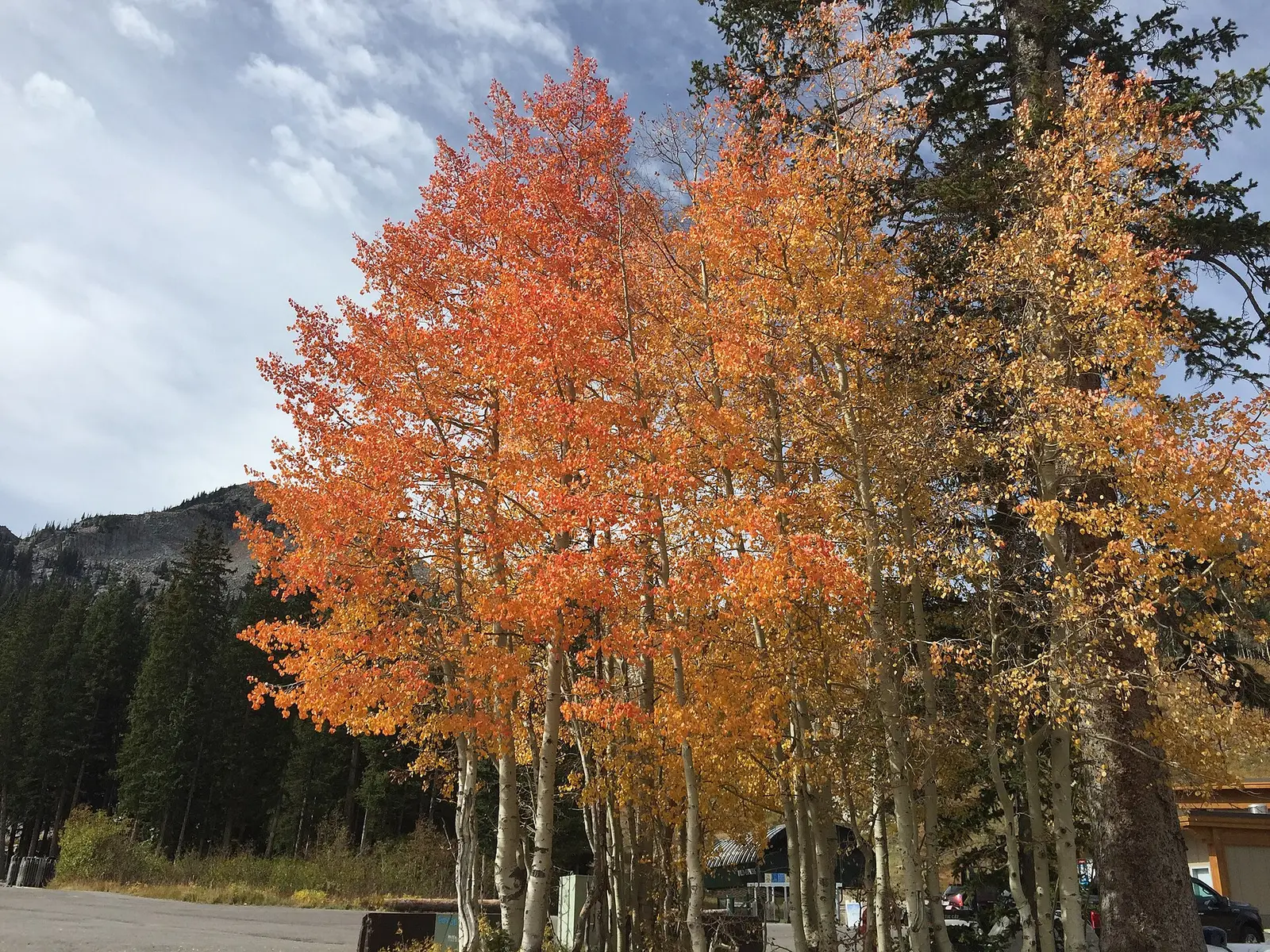
Visit Utah’s foliage page gives the gauge: the best viewing begins in the highest elevations in mid-September and wraps in early October in most places. The Forest Service page for the Monte Cristo Scenic Drive, on the Ogden Ranger District, says that during early October the aspen forests turn the vistas orange and gold. Bigtooth maple is the canyon red the national guide names on Logan Canyon, the Mirror Lake Highway, and the Mount Nebo Loop, alongside aspen and cottonwood.
Pando, on the Fishlake, is described by the Forest Service as a single aspen clone of about 106 acres. That is a place to see aspen, not a separate peak week.
Peak timing varies from year to year. A warm fall, an early frost, or a windstorm can move or mute the color, which is why the live report matters more than any calendar.
When color usually arrives
Highest elevations
Mid-September is when Visit Utah says the best viewing begins, at the highest elevations. Early October is when it wraps in most places.
Visit Utah foliage guide. Source: Visit Utah, fall foliage.
Monte Cristo and the Ogden district
Early October is when the Forest Service says the aspens on the Monte Cristo Scenic Drive turn orange and gold. Logan Canyon and the Mirror Lake Highway are the maple-and-aspen drives on the national guide, without a second date.
Forest Service, Monte Cristo. Source: USDA Forest Service, Monte Cristo Scenic Drive.
Fall foliage map
Esri publishes a public ArcGIS experience called Fall Foliage Viewing. It is embedded here as a map you can pan. It is not the source of the dates on this site. If the embed is blocked or slow, the state reports linked above and below still stand on their own. For Utah, it opens centered on the state. The center is the middle of the state's bounding box in the U.S. Census Bureau cartographic boundary, 2017 edition. The colored prediction layer in the experience is the Massachusetts Department of Conservation and Recreation forecast published in that app. It is not a forecast for any other state.
Map of waterfalls in Utah
Larger gold markers are the waterfalls on this page's itinerary. Smaller markers are the other published waterfall pages in Utah. The outline is the U.S. Census Bureau cartographic boundary for the state (2017, public domain). A marker is the mapped position of the falls, not a trailhead.
Published waterfall page On this foliage trip
On this trip
- Bridal Veil Falls, Utah County
- Cascade Falls, Kane County
- Doughnut Falls, Salt Lake County
- Provo River Falls, Summit County
Other published waterfall pages in Utah
- Hidden Falls, Salt Lake County
- Lisa Falls, Salt Lake County
- Lower Calf Creek Falls, Garfield County
- Scout Falls, Utah County
- Upper Calf Creek Falls, Garfield County
- Upper Falls, Utah County
Open the interactive Utah waterfall map. That map also includes named falls that do not have their own page.
The live report
No weekly hotline turned up. The tourism gauge and the Monte Cristo page are the dates. Visit Utah fall foliage.
Waterfalls to see with the color
Provo River Falls is Summit County, on the Wasatch Back, which is the high-elevation end of Visit Utah’s gauge. Doughnut Falls is Salt Lake County in the directory’s town field at Snyderville. Bridal Veil Falls is Utah County at Orem, in the canyon the national guide’s maple drives are about, and it is lower than the Uinta crest. Cascade Falls is Kane County, filed at Cedar City, which is the Color Country end of the state. Visit Utah’s “wraps in early October in most places” is the only date this page will put on all four. It will not invent a later week for Kane County.
Provo River Falls
Summit County · nearest listed town Kamas
- Reviews
- 112 · 4.9 stars
Doughnut Falls
Salt Lake County · nearest listed town Snyderville
- Reviews
- 226 · 4.7 stars
Bridal Veil Falls
Utah County · nearest listed town Orem
- Reviews
- 670 · 4.8 stars
Cascade Falls
Kane County · nearest listed town Cedar City
- Trail
- Cascade Falls Trail
- Distance
- 0.5 miles one way
- Reviews
- 98 · 4.8 stars
Trail name, distance, elevation, and difficulty come from data/trails.json or a hand-checked trip note when one exists. A missing row means that field was not in those files. Drop is shown only when the USGS gazetteer text states a height.
Wasatch in the mid-September to early-October gauge
Kamas and the Salt Lake and Utah County pages are the Wasatch set inside that gauge. Cedar City is the long southern leg, and the straight-line table should keep you from treating it as a spur. Monte Cristo, east of Ogden, is the Forest Service’s early-October aspen drive if you want a named road rather than a waterfall trailhead. Logan Canyon is the maple road on the national guide.
| From | To | Straight-line miles |
|---|---|---|
| Provo River Falls | Doughnut Falls | 37.2 |
| Doughnut Falls | Bridal Veil Falls | 20.4 |
| Bridal Veil Falls | Cascade Falls | 205.6 |
Trees and the colors they are credited with
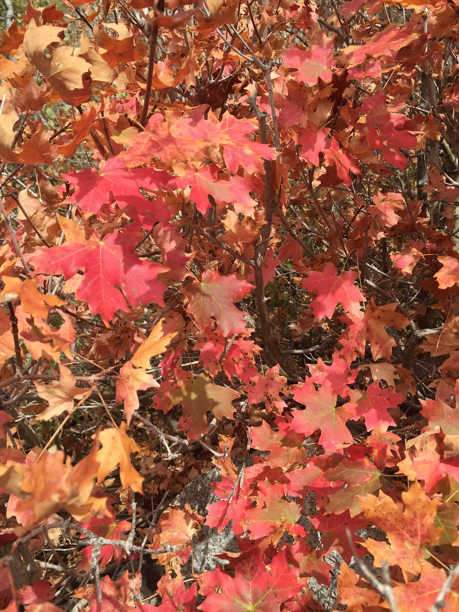
- Canyon maple, aspen, oak, cottonwood. Visit Utah names canyon maple, quaking aspen, scrub oak, Douglas hawthorn, and serviceberry, with evergreens as the contrast. The Forest Service Monte Cristo page adds willow, cottonwood, Engelmann spruce, and Douglas-fir. The national guide calls bigtooth maple the brilliant red and orange in Utah canyons. (Visit Utah, fall foliage)
Frequently Asked Questions
When does Utah’s high country start?
Visit Utah says mid-September at the highest elevations, wrapping in early October in most places.
When is Monte Cristo?
The Forest Service says early October for the aspen turn on that scenic drive.
Which falls are on the Wasatch side?
Provo River Falls in Summit County, Doughnut Falls, and Bridal Veil Falls at Orem. Cascade Falls in Kane County is the southern page, on the same statewide gauge because a later southern week was not published.
Photographs
Sources
- Visit Utah, fall foliage
- USDA Forest Service, Monte Cristo Scenic Drive
- File:2015-09-29 12 01 36 Orange fall foliage on Aspens in Brighton, Utah.jpg
- File:2015-09-29 12 38 54 Autumn foliage of Bigtooth Maple in Little Cottonwood Canyon, Utah.jpg
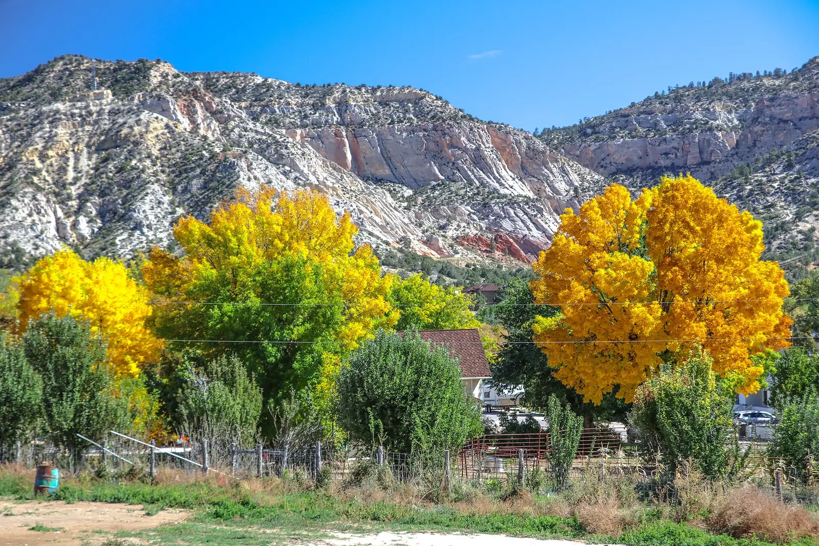
- File:Scenic fall colours along Utah Hwy 14 - (22419095489).jpg