Vermont Tourism’s forecaster is a four-stage pattern, and the page says outright that the exact week cannot be predicted from season to season. Color starts at higher elevations and moves down into valleys. The saturated stage, which the page calls peak, is the last week of September and the first week of October. Mid-to-late October is the stage when peaks are bare and valleys are still bright.
The weekly tracker is a different document. It is prepared by the Vermont Department of Forests, Parks and Recreation. The September 16, 2026 report, week 1 of that season, said the Northeast Kingdom had the most color in the state, with the upper Green Mountains and the capital region only starting. That is one week of one year. It matches the forecaster’s “high ground first” pattern. It is not a promise that the Kingdom peaks on September 16.
Peak timing varies from year to year. A warm fall, an early frost, or a windstorm can move or mute the color, which is why the live report matters more than any calendar.
When color usually arrives
Higher elevations, then the Northeast Kingdom
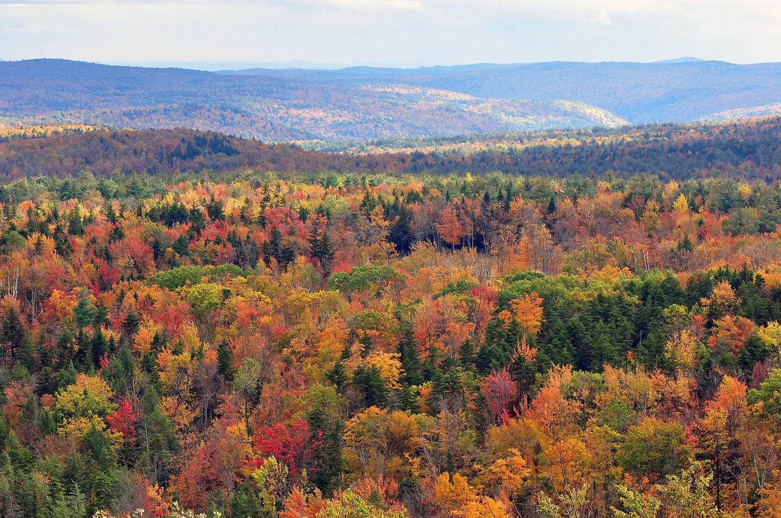
The forecaster says that by mid-to-late September, higher elevations are showing color more thoroughly, and that gap roads are the colorful drives in that pre-peak stage. The September 16, 2026 ranger report named the Northeast Kingdom as the region with the most color that week.
Forecaster pattern, illustrated by the September 16, 2026 report. Source: Vermont Tourism, Foliage Forecaster.
Peaks and valleys together
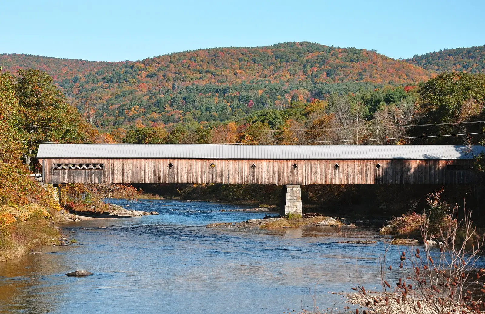
The forecaster’s peak stage is the last week of September and the first week of October, when both mountain peaks and valleys are in color. The page warns that foliage can shift quickly in this stage.
Typical peak stage on the state forecaster. Source: Vermont Tourism, Foliage Forecaster.
Valleys after the peaks drop
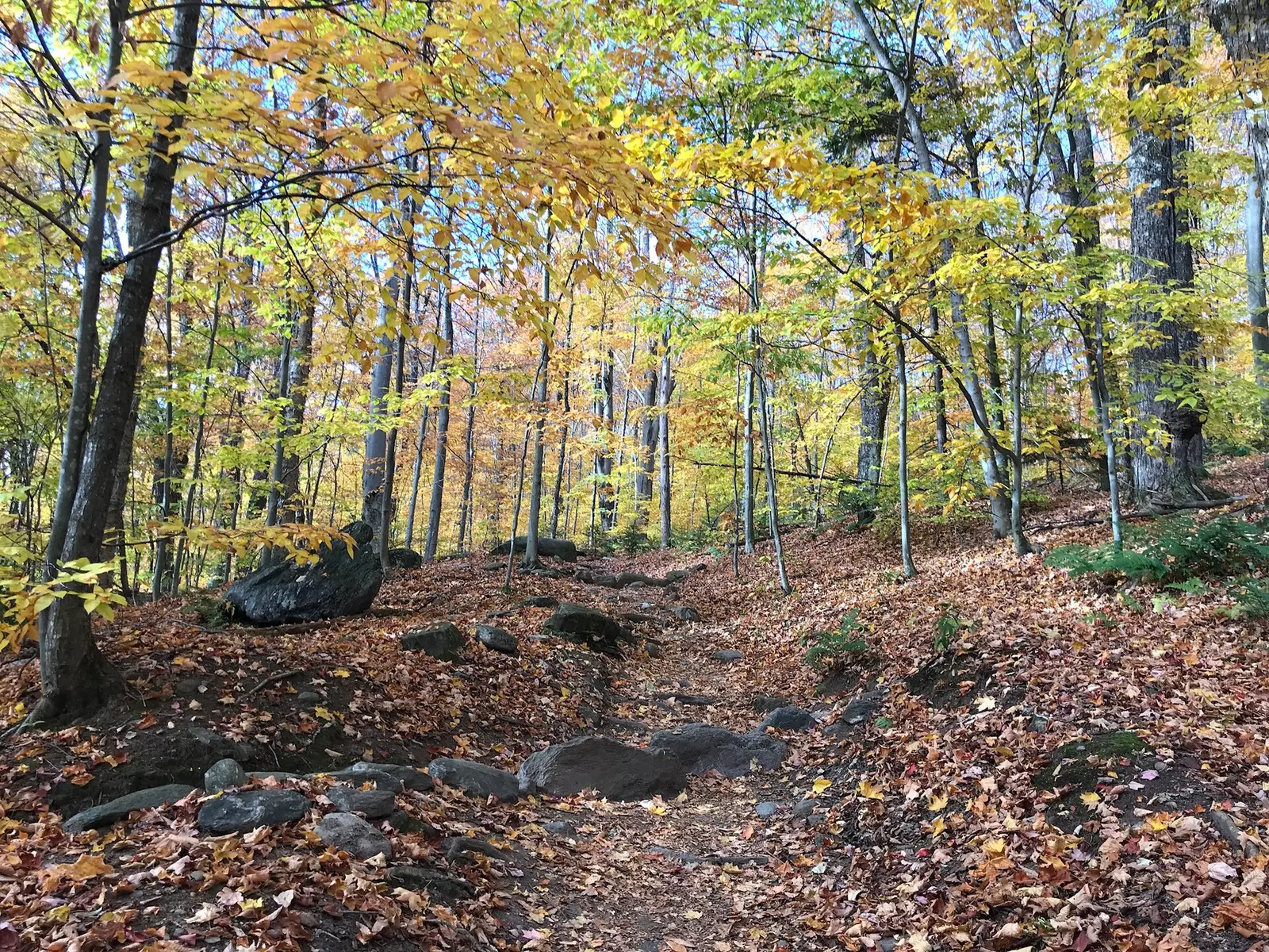
Mid-to-late October is the late stage: peaks bare, color on the forest floor, and leaves lingering along lakes and in valleys. The October 21, 2026 report added a species note for that stage, with beech and oak holding on, aspens in central and southern Vermont showing canary yellow, and larch still to turn.
Forecaster late stage; species note from the October 21, 2026 report. Source: Vermont Tourism, weekly foliage tracker.
Fall foliage map
Esri publishes a public ArcGIS experience called Fall Foliage Viewing. It is embedded here as a map you can pan. It is not the source of the dates on this site. If the embed is blocked or slow, the state reports linked above and below still stand on their own. For Vermont, it opens centered on the state. The center is the middle of the state's bounding box in the U.S. Census Bureau cartographic boundary, 2017 edition. The colored prediction layer in the experience is the Massachusetts Department of Conservation and Recreation forecast published in that app. It is not a forecast for any other state.
Map of waterfalls in Vermont
Larger gold markers are the waterfalls on this page's itinerary. Smaller markers are the other published waterfall pages in Vermont. The outline is the U.S. Census Bureau cartographic boundary for the state (2017, public domain). A marker is the mapped position of the falls, not a trailhead.
Published waterfall page On this foliage trip
On this trip
- Bingham Falls, Lamoille County
- Buttermilk Falls, Windsor County
- Moss Glen Falls, Lamoille County
- Texas Falls, Addison County
Other published waterfall pages in Vermont
- Falls of Lana, Addison County
- Moss Glen Falls, Addison County
Open the interactive Vermont waterfall map. That map also includes named falls that do not have their own page.
The live report
Foresters report through September and October. The Agency of Natural Resources points to this tracker as the real-time report. Vermont weekly foliage tracker.
Waterfalls to see with the color
There are two published pages named Moss Glen Falls. This itinerary uses the Lamoille County one at Morristown, with Bingham Falls in the same county, then Texas Falls, whose directory town is Randolph, then Buttermilk Falls at Chester in Windsor County. That is a north-to-south line through the Green Mountains, which is the direction the forecaster’s color moves, from high ground down into valleys. The second Moss Glen page, filed at Randolph, is a different coordinate and is not in this list.
Moss Glen Falls
Lamoille County · nearest listed town Morristown
- Trail
- Moss Glen Falls
- Distance
- About 0.5 mile round trip
- Difficulty
- Easy
- Reviews
- 313 · 4.8 stars
Bingham Falls
Lamoille County · nearest listed town Morristown
- Reviews
- 200 · 4.7 stars
Texas Falls
Addison County · nearest listed town Randolph
- Trail
- Texas Falls Nature Trail
- Distance
- 610 feet one way
- Reviews
- 160 · 4.7 stars
Buttermilk Falls
Windsor County · nearest listed town Chester
- Reviews
- 142 · 4.7 stars
Trail name, distance, elevation, and difficulty come from data/trails.json or a hand-checked trip note when one exists. A missing row means that field was not in those files. Drop is shown only when the USGS gazetteer text states a height.
Lamoille first, Windsor if the valleys are the week you caught
Morristown sits under the higher Green Mountains. If you are in the state during the forecaster’s mid-to-late September stage, start there and treat Chester as optional. If you arrive in the mid-to-late October stage, the forecaster says the peaks are bare and the valleys are the bright part, so Windsor County is the more honest stop and the Lamoille trailheads may be on the ground color.
The Forest Service names Route 100, Camel’s Hump, and Mount Equinox on the Green Mountain National Forest for red maple, birch, and beech. Route 100 is a named drive, not a claim that these four trailheads are on it. Check the weekly tracker before you commit to a single valley.
| From | To | Straight-line miles |
|---|---|---|
| Moss Glen Falls | Bingham Falls | 7.5 |
| Bingham Falls | Texas Falls | 40.9 |
| Texas Falls | Buttermilk Falls | 35.5 |
Trees and the colors they are credited with
- Beech, oak, aspen, and larch. The October 21, 2026 report said beech and oak were still holding deep oranges and reds after most places had passed peak, aspens in central and southern Vermont were canary yellow, and larch, the conifer that drops its needles, was about to turn gold. (Vermont Tourism, week of October 21, 2026)
- Red maple, sugar maple, and ash. The September 16, 2026 report, describing the Northeast Kingdom, credited scarlet on red maples and fiery orange and yellow on sugar maples and ash. That was a regional observation for that week, tied to cold and dry conditions in the Kingdom. (Vermont Tourism, week of September 16, 2026)
Frequently Asked Questions
When is Vermont’s peak stage?
The state forecaster says the last week of September and the first week of October, with the caveat that weather, elevation, and species move it. Valleys can still be bright in mid-to-late October after the peaks drop.
Does the Northeast Kingdom turn first?
In the September 16, 2026 report, yes: foresters said the Kingdom had the most color that week. That is one season’s week 1, and it fits the forecaster’s higher-ground-first pattern.
Which Moss Glen Falls is on this page?
The Lamoille County page at Morristown, paired with Bingham Falls. The other Moss Glen Falls page is a separate coordinate filed at Randolph.
Photographs