
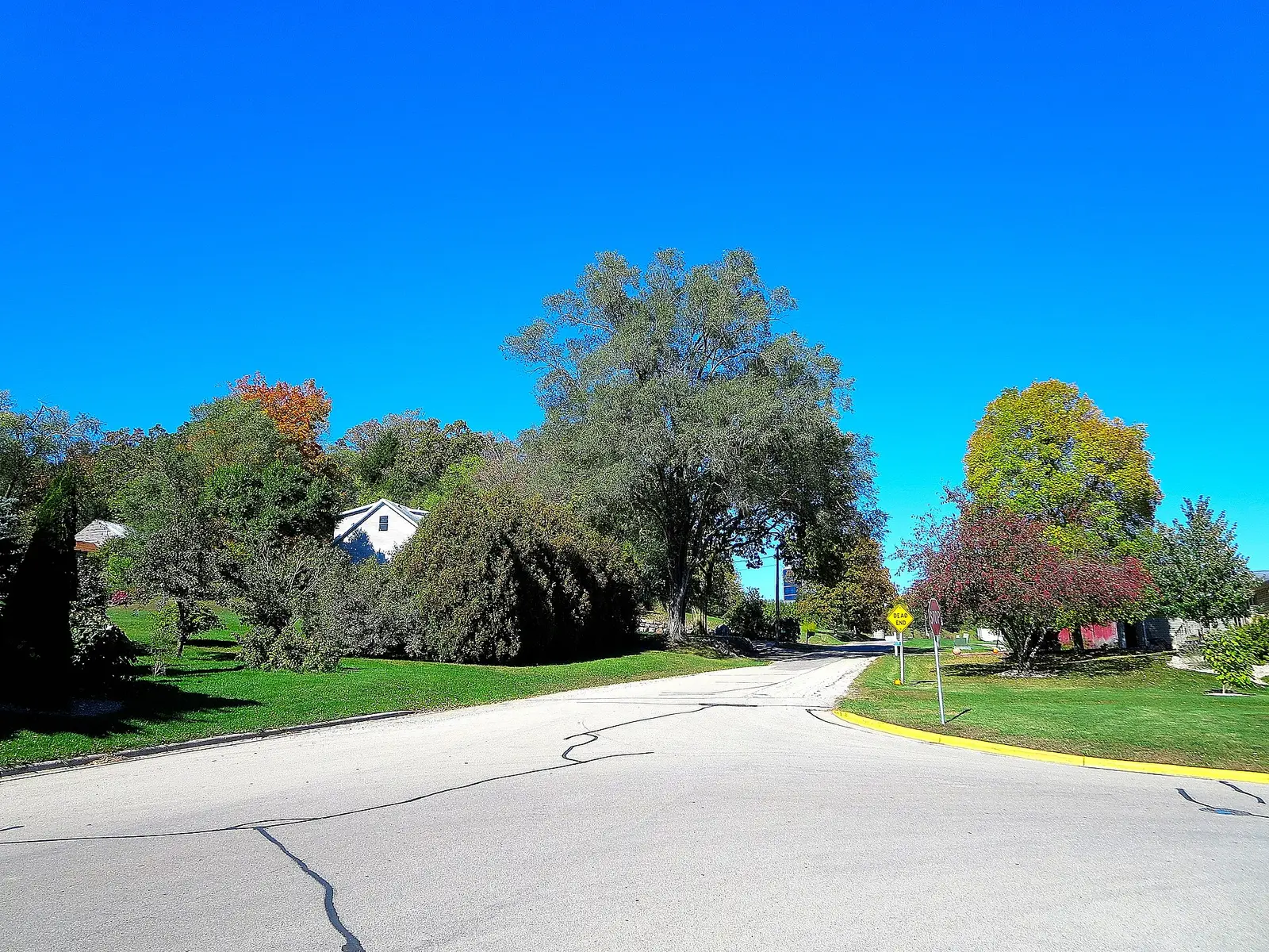
The Department of Natural Resources has repeated the same three-part calendar in more than one news release: far northern Wisconsin in the last week of September and the first week of October, central Wisconsin in mid-October, southern Wisconsin in the latter half of October. Timing still varies by species and by the September and October weather. Forest ecologist Colleen Matula’s line, quoted by the department, is that bright days and cool frost-free nights make the reds, and warm nights mute them. Drought can start the change earlier and shorten it.
Travel Wisconsin hosts the weekly color report the DNR points people to. The DNR releases are the typical weeks. The weekly report is the year you are actually in.
Peak timing varies from year to year. A warm fall, an early frost, or a windstorm can move or mute the color, which is why the live report matters more than any calendar.
When color usually arrives
Far northern Wisconsin
Last week of September and first week of October. A September release used the red maples then showing in lowlands as the start, and said upland forests were only about 10 percent turned at that moment. That percentage was the week of the release, not a permanent fact.
Typical window, Wisconsin DNR. Source: Wisconsin DNR, fall color in the Northwoods.
Central Wisconsin
Mid-October, in the same releases. Later copy says “during mid-October” without moving the north or south lines.
Typical window, Wisconsin DNR. Source: Wisconsin DNR, trails and fall color.
Southern Wisconsin
The latter half of October. One release shortens the phrase to “late October.” The department treats that as the same southern tier.
Typical window, Wisconsin DNR. Source: Wisconsin DNR, plan a fall color trip.
Fall foliage map
Esri publishes a public ArcGIS experience called Fall Foliage Viewing. It is embedded here as a map you can pan. It is not the source of the dates on this site. If the embed is blocked or slow, the state reports linked above and below still stand on their own. For Wisconsin, it opens centered on the state. The center is the middle of the state's bounding box in the U.S. Census Bureau cartographic boundary, 2017 edition. The colored prediction layer in the experience is the Massachusetts Department of Conservation and Recreation forecast published in that app. It is not a forecast for any other state.
Map of waterfalls in Wisconsin
Larger gold markers are the waterfalls on this page's itinerary. Smaller markers are the other published waterfall pages in Wisconsin. The outline is the U.S. Census Bureau cartographic boundary for the state (2017, public domain). A marker is the mapped position of the falls, not a trailhead.
Published waterfall page On this foliage trip
On this trip
- Big Manitou Falls, Douglas County
- Daves Falls, Marinette County
- Potato River Falls, Iron County
- Superior Falls, Iron County
Other published waterfall pages in Wisconsin
- Amnicon Falls, Douglas County
- Apple River Falls, St. Croix County
- Big Falls, Eau Claire County
- Big Smoky Falls, Menominee County
- Copper Falls, Ashland County
- Eighteenfoot Falls, Marinette County
- Gilmer Falls, Shawano County
- Grandfather Falls, Lincoln County
- Horseshoe Falls, Marinette County
- Little Manitou Falls, Douglas County
- Long Slide Falls, Marinette County
- Morgan Falls, Ashland County
- Smalley Falls, Marinette County
- Spring Camp Falls, Iron County
- Strong Falls, Marinette County
Open the interactive Wisconsin waterfall map. That map also includes named falls that do not have their own page.
The live report
The DNR points to Travel Wisconsin for the weekly report. The releases above are the typical regional weeks. Travel Wisconsin fall color report.
Waterfalls to see with the color
Big Manitou Falls is Douglas County, on the Lake Superior side, in the far-north week. Potato River Falls and Superior Falls are Iron County, Hurley country, also north. Daves Falls and Long Slide Falls are Marinette County, which is north-woods rather than the southern agricultural tier. This set does not include a published southern-Wisconsin waterfall, so the latter-half-of-October line does not have a falls page to hang on. Use it for the southern counties, and use these pages for the early northern week.
Big Manitou Falls
Douglas County · nearest listed town Superior
- Reviews
- 156 · 4.8 stars
Potato River Falls
Iron County · nearest listed town Hurley
- Reviews
- 162 · 4.8 stars
Superior Falls
Iron County · nearest listed town Hurley
- Reviews
- 108 · 4.7 stars
Daves Falls
Marinette County · nearest listed town Niagara
- Reviews
- 241 · 4.9 stars
Trail name, distance, elevation, and difficulty come from data/trails.json or a hand-checked trip note when one exists. A missing row means that field was not in those files. Drop is shown only when the USGS gazetteer text states a height.
Lake Superior and the Iron County line while the north is on
Superior, Hurley, and Niagara are all in the far-north window. They are not in the southern half of October. If the weekly Travel Wisconsin report says the Northwoods have dropped and the south has not, these four trailheads are the wrong list. The straight-line miles are a north-woods spacing, not a drive down I-39 to Madison.
| From | To | Straight-line miles |
|---|---|---|
| Big Manitou Falls | Potato River Falls | 75.9 |
| Potato River Falls | Superior Falls | 8.8 |
| Superior Falls | Daves Falls | 137.8 |
Trees and the colors they are credited with
- Red maple first in the lowlands. Matula told the DNR that early red in the Northwoods was mostly red maple stressed by high water, while upland color was just starting. She also said cooler nights brighten reds and purples and warmer nights mute them. (Wisconsin DNR, Northwoods release)
Frequently Asked Questions
When is the Northwoods?
Wisconsin DNR says the last week of September and the first week of October. Central Wisconsin is mid-October. Southern Wisconsin is the latter half of October.
What makes the reds brighter?
The DNR quotes its forest ecologist: sunny days and cool nights that are not freezing. Warm nights mute reds and purples. Drought can make leaves turn earlier and drop sooner.
Which falls are in the north?
Big Manitou in Douglas County, Potato River and Superior Falls in Iron County, and Daves Falls in Marinette County.
Photographs
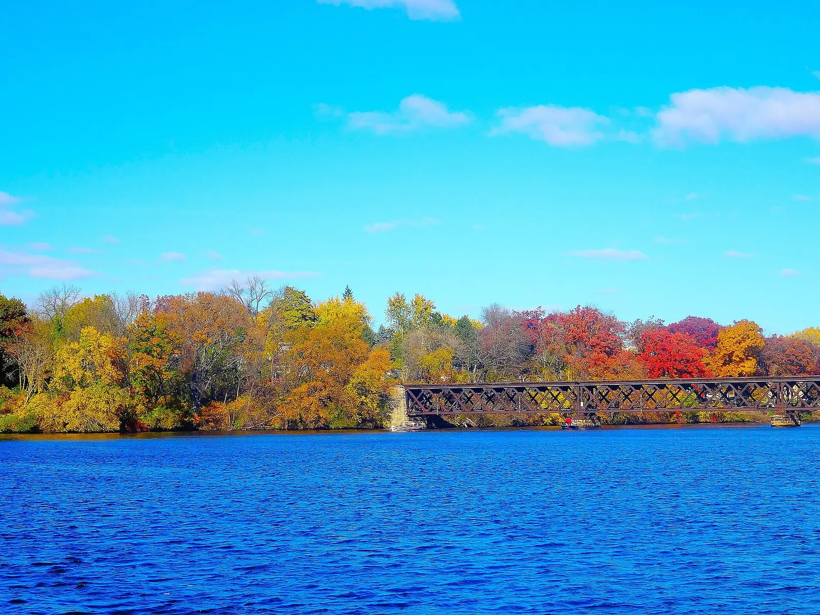
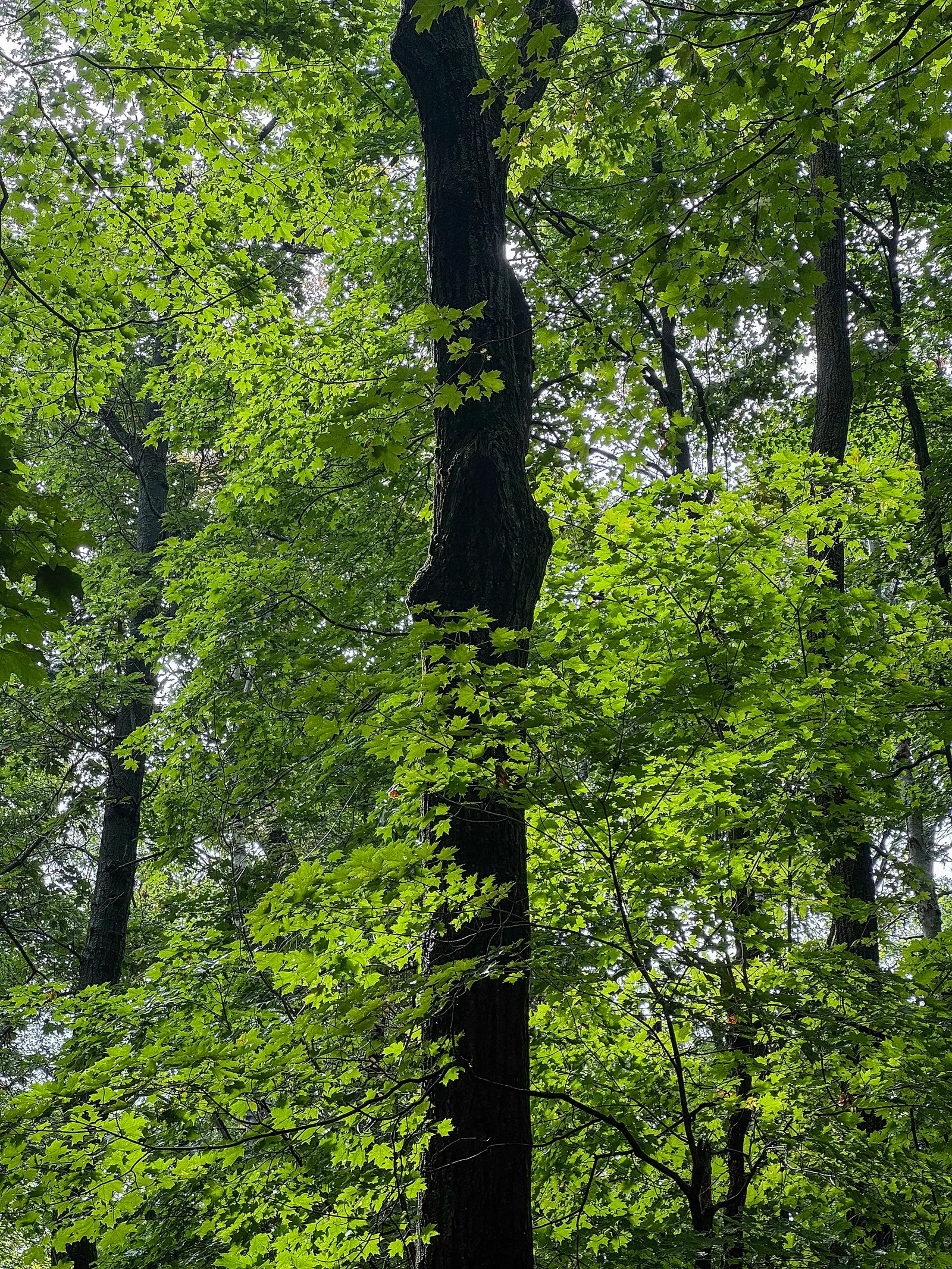
Sources
- Wisconsin DNR, fall color in the Northwoods
- Wisconsin DNR, trails and fall color
- Wisconsin DNR, plan a fall color trip
- Travel Wisconsin fall color report
- File:Autumn in Wisconsin - panoramio.jpg
- File:Autumn Colors at Lake Wisconsin - panoramio.jpg
- File:Backlit lime-green foliage framing a dark trunk, Potawatomi State Park, Wisconsin.jpg