
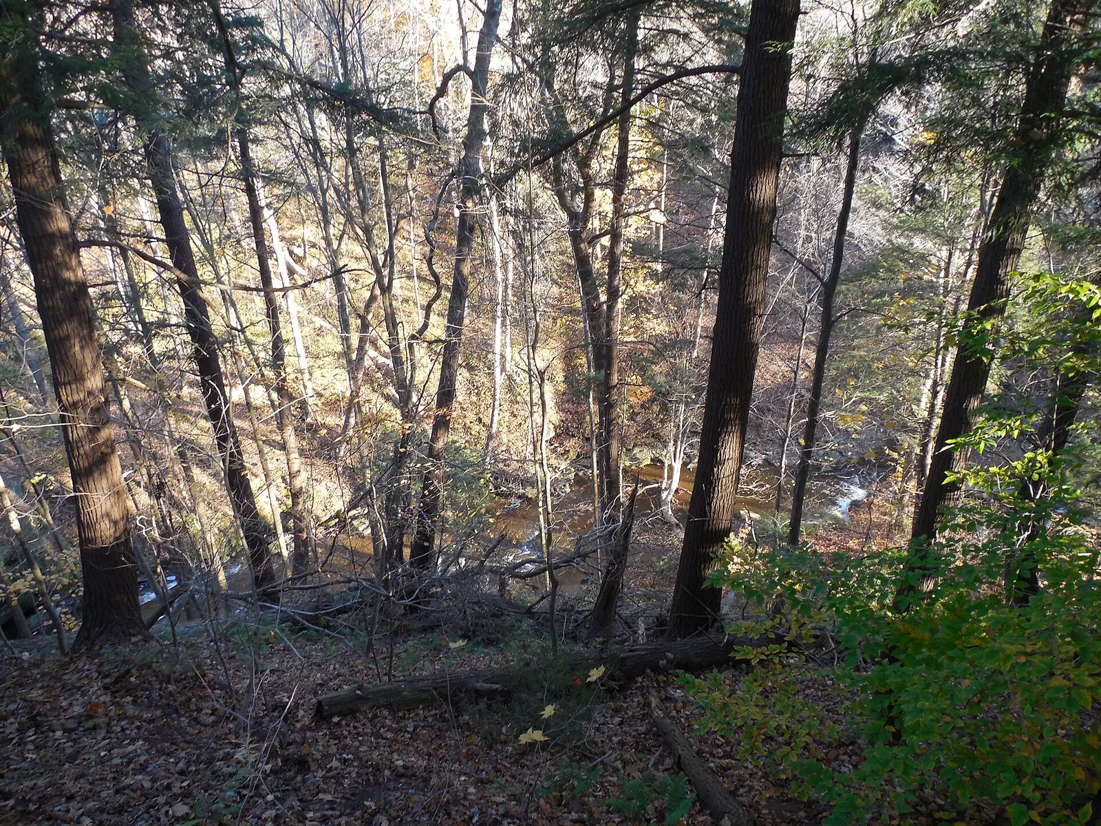
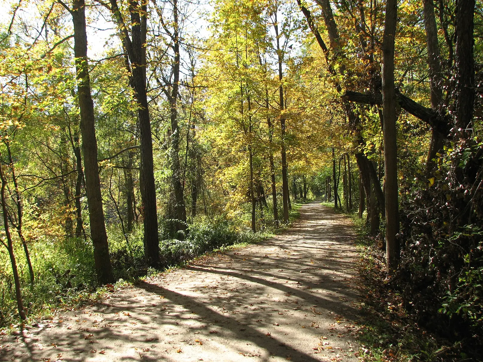
The park sits between the urban edges of Cleveland and Akron and describes the Cuyahoga River, deep forest, and the Ohio & Erie Canal towpath. Three published falls are inside the boundary. Brandywine has an 86-foot height in the USGS text, about 0.3 miles round trip in the trip notes, and 551 reviews. Blue Hen is about 3 miles round trip, called steep, rocky, and often muddy, with 250 reviews. Buttermilk Falls has the Boston Township location in the gazetteer and no hike length.
A fourth name, Bridal Veil Falls near Bedford, lands inside the boundary polygon and is not on this page. USGS places that one in Bedford Reservation. The polygon is the legislated line, and the gazetteer is the place name. The gazetteer wins when they disagree.
The falls on our maps
Brandywine is the short walk. Blue Hen is the half-day that the NPS hike page and our trip notes both describe as rough underfoot. Buttermilk is a location without a trail row.
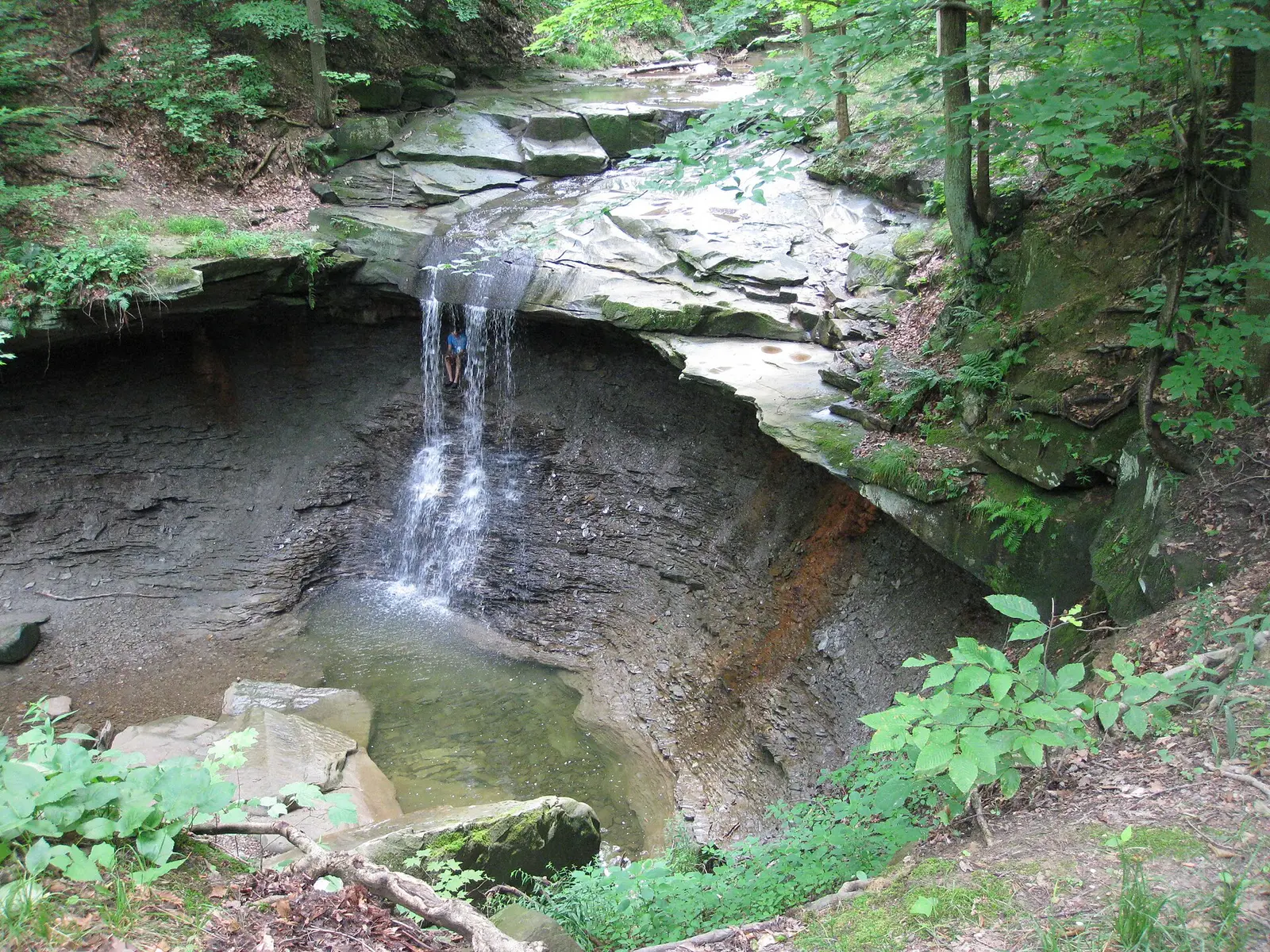
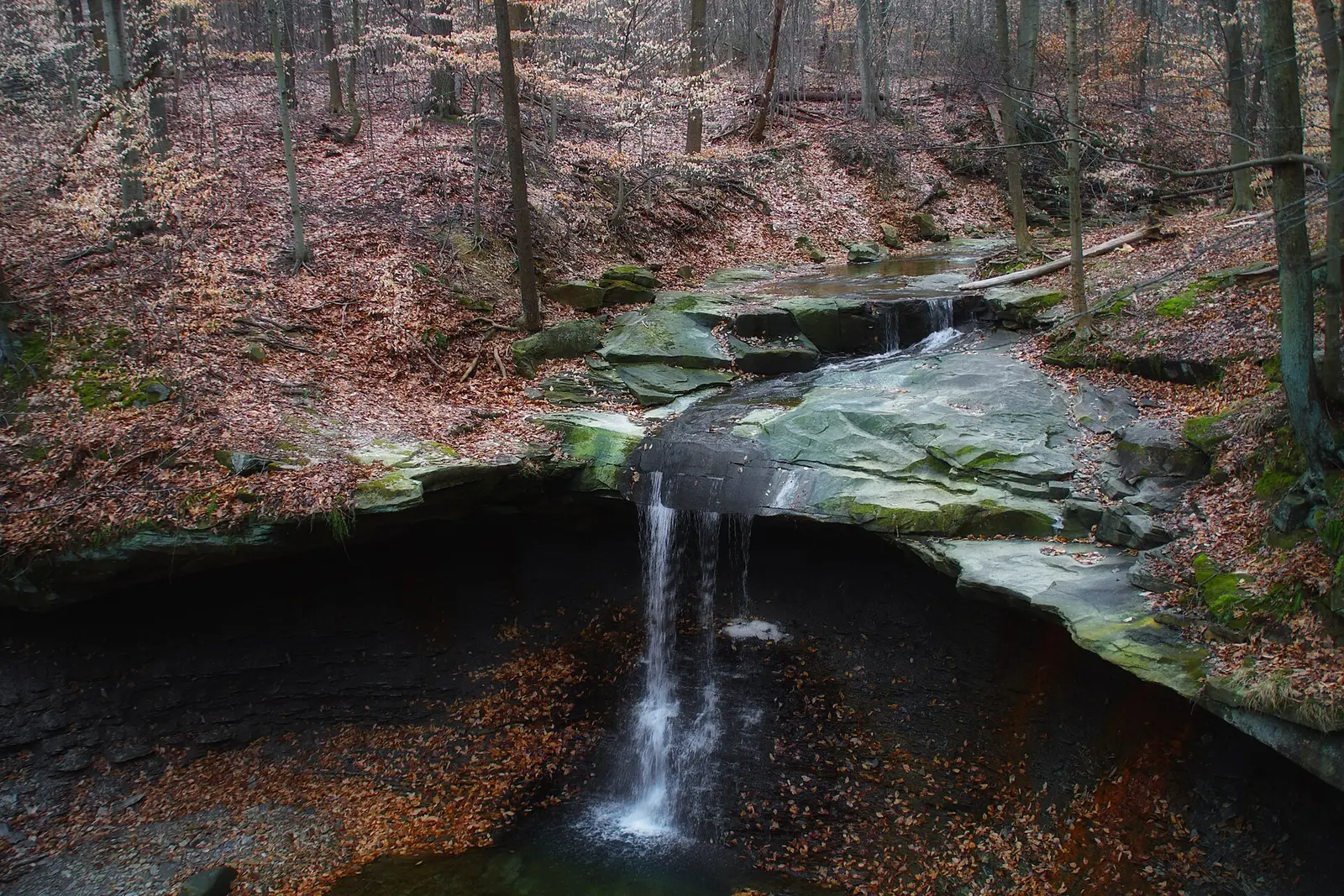
Blue Hen Falls
Summit County, Ohio · nearest listed town Peninsula (1.6 miles in a straight line)
- Trail
- Buckeye Trail
- Distance
- About 3 miles round trip (round trip)
- Difficulty
- Steep, rocky and often muddy
- Reviews
- 250 · 4.5 stars
Located approximately 1.9 km (1.2 mi) southwest of Boston, within Boston Township, Original Lot 2, and the Connecticut Western Reserve.
Brandywine Falls
Summit County, Ohio · nearest listed town Boston Heights (1.5 miles in a straight line)
- Distance
- About 0.3 mile round trip (round trip)
- Difficulty
- Easy
- Drop
- 86 ft in the USGS gazetteer text
- Reviews
- 551 · 4.8 stars
86 feet high. Brandywine Falls, within Cuyahoga Valley National Park, is accessed by a parking lot located on Stanford Road about 30 m (100 ft) from Brandywine Road, approximately 3.2 km (2 mi) south of State Route 82 and 1.6 km (1 mi) northwest of Olde Eight in Sagamore Hills.
Buttermilk Falls
Summit County, Ohio · nearest listed town Peninsula (1.7 miles in a straight line)
- Reviews
- 82 · 4.7 stars
Located approximately 1.6 km (1 mi) south of Boston, within Boston Township, Original Lot 1, and the Connecticut Western Reserve.
Side by side
Height appears only for Brandywine, because that is the one USGS sentence with a number of feet.
| Waterfall | Distance | Elevation | Difficulty | USGS drop | Reviews | Flow note |
|---|---|---|---|---|---|---|
| Blue Hen Falls | About 3 miles round trip | — | Steep, rocky and often muddy | — | 250 | — |
| Brandywine Falls | About 0.3 mile round trip | — | Easy | 86 ft | 551 | — |
| Buttermilk Falls | — | — | — | — | 82 | — |
A dash means that field is not in the USGS gazetteer text, the trail file, or the hand-checked trip notes for that fall. It is not a claim that the number is zero.
Effort against attention
Brandywine Falls is 0.3 miles and 551 reviews, so the reviews-per-mile figure is enormous next to Blue Hen Falls, which is About 3 miles round trip with 250 reviews. That gap is the planning fact. The easy walk is also the crowded one. Blue Hen is where the trail file says steep and muddy. Buttermilk Falls cannot be placed on the ratio.
- Brandywine Falls: 551 reviews ÷ 0.3 miles = 1837 reviews per published mile (round trip).
- Blue Hen Falls: 250 reviews ÷ 3.0 miles = 83 reviews per published mile (round trip).
Seeing more than one
One day, if the goal is the falls with the height and the short walk, is Brandywine: About 0.3 mile round trip. The trip notes call it easy. A second outing, not a second lap of the same path, is Blue Hen at About 3 miles round trip. Nothing in the sources chains them into one loop, and their straight-line separation is part of the coordinate order: Brandywine Falls, Buttermilk Falls, Blue Hen Falls.
Counted miles are 3.3 miles. Buttermilk Falls is the missing distance. There is no entrance gate between them. The fee page says the park does not charge one.
When the nearest gauge runs high
Brandywine Creek near Macedonia OH (USGS 04206416) sits 1.5 miles from Brandywine Falls. Across 2019–2024 the mean daily flow was highest in March (40 cfs) and lowest in September (10 cfs). This is a rain-fed park, not a snowmelt canyon. The weather page talks about spring rain and lake-effect snow off Erie. The gauge month should be read as the river's response to that, not as a promise that Blue Hen is at its best in the peak month.
| Jan | Feb | Mar | Apr | May | Jun | Jul | Aug | Sep | Oct | Nov | Dec |
|---|---|---|---|---|---|---|---|---|---|---|---|
| 35 | 35 | 40 | 37 | 24 | 18 | 19 | 13 | 10 | 11 | 14 | 24 |
Fees, passes, and entry rules
There is nothing to buy to walk to these falls. Shelter reservations in the Virginia Kendall area are a different product and are not required for the trails.
- Entrance
- No entrance pass and no entrance fee. The fee page says some America the Beautiful passes are sold at Boston Mill Visitor Center, but they are not required to enter.
Getting there
Boston Mill Visitor Center sells some America the Beautiful passes in season, and the fee page says to call ahead from December through April if you need a ranger to issue one. You do not need the pass to park at Brandywine or Blue Hen.
What this park warns about
Blue Hen is the sourced caution: steep, rocky, often muddy, about 3 miles round trip. Brandywine is the one called easy, about 0.3 miles. Buttermilk has no trail caution on file.
Small things the official pages mention
- No entrance fee and no entrance pass. (NPS fees)
- Blue Hen is the steep, muddy hike. Brandywine is the short one. (NPS Blue Hen)
Towns our directory files these falls under
Brandywine is filed under Boston Heights. Blue Hen and Buttermilk are filed under Peninsula. Both towns sit in the valley the park is named for.
- Peninsula, OH — 3 of these falls, closest about 2 miles in a straight line
Photographs
How this page was built
USGS height is used only when the gazetteer text states feet. The Bedford Bridal Veil point was dropped because the gazetteer names a different reservation. Reviews per mile uses the two sourced distances. The gauge is regional rainfall, labeled as such.
Sources
- NPS administrative boundaries
- Cuyahoga Valley National Park
- NPS: Cuyahoga Valley fees
- NPS: hike to Blue Hen Falls
- NPS: Brandywine Falls trailhead
- NPS: Cuyahoga Valley parking
- USGS 04206416 Brandywine Creek near Macedonia OH
- File:Brandywine Falls - Cuyahoga Valley National Park - Ohio - 15936453092.jpg
- File:Blue Hen Falls.jpg
- File:Cuyahoga Valley National Park 01.jpg
- File:Ohio and Erie Canal Towpath Trail Section in October.JPG