
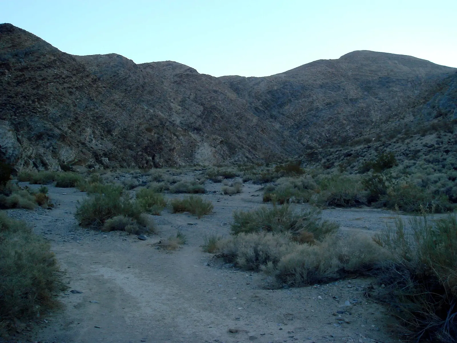
The park's description is a below-sea-level basin, record heat, and the contrast of snow on the peaks and oases in the canyons. Darwin Falls is that oasis in the data we have: 75 reviews, 1 mile one way, and the gazetteer height. The fee page is unusually explicit that non-US residents may use the standard vehicle fee. It does not show the separate $100 surcharge that Yosemite, Yellowstone, and several other parks itemize.
No reservation is required to enter. Payment is card or digital at the park. If cash is the only option, the fee page says to buy the pass ahead or use an authorized vendor.
The falls on our maps
One fall, one sourced one-way distance, one USGS height. That is the whole trail record.
Darwin Falls
Inyo County, California · nearest listed town Lone Pine (36 miles in a straight line)
- Trail
- Darwin Falls Trail
- Distance
- 1 mile one way (one way)
- Reviews
- 75 · 4.6 stars
Side by side
The distance is one way. The drop is the gazetteer's 80 feet.
| Waterfall | Distance | Elevation | Difficulty | USGS drop | Reviews | Flow note |
|---|---|---|---|---|---|---|
| Darwin Falls | 1 mile one way | — | — | — | 75 | — |
A dash means that field is not in the USGS gazetteer text, the trail file, or the hand-checked trip notes for that fall. It is not a claim that the number is zero.
Effort against attention
With one fall, the ratio is just 75 reviews over 1 mile one way. There is no second hike to call harder. The useful comparison is outside this park: an 80-foot fall an hour's walk up a canyon, in a park whose weather page is mostly about heat. The walk length does not cancel the heat. The weather page's heat records are about the valley floor. Darwin Canyon is not given its own temperature in our files.
Seeing more than one
The sourced outing is the Darwin Falls trail, 1 mile one way. A second day is not built. There is not another published fall inside the boundary to add. The straight-line distance from Lone Pine is about 36 miles, which is the town assignment, not the trailhead drive.
Fees, passes, and entry rules
The vehicle fee is $30 for seven days, and the fee text says non-US residents can use it. That is different from the parks that add $100 per person.
- Private vehicle
- $30 for seven days. The fee description says all visitors, including non-US residents, may use this vehicle fee.
- On foot or bicycle
- $15 for seven days, and the same sentence includes non-US residents.
- Motorcycle
- $25 for seven days.
- How to pay
- The park accepts cards and digital payments for entrance fees. It says no reservation is required to enter. If cash is the only option, buy the pass before arrival or use a listed third-party vendor.
Getting there
No entrance reservation. Card or digital payment at the park. Furnace Creek and Stovepipe Wells are among the places the fee page lists for buying a pass in person.
What this park warns about
The weather page documents long runs of days over 120°F on the valley floor. It does not mention Darwin Falls. The heat record is the park context for going at all. It is not a measured temperature at the fall. Carry that distinction.
Small things the official pages mention
- The standard vehicle fee applies to non-US residents on this park's fee page. No entrance reservation. (NPS fees)
- USGS calls Darwin Falls the highest in the park, at 80 feet. (Darwin Falls page, USGS text)
Towns our directory files these falls under
Lone Pine is the nearest city of 1,000 people in our index, 36 straight-line miles off. Lone Pine is a highway town west of the park, not the canyon parking lot.
- Lone Pine, CA — 1 of these falls, closest about 36 miles in a straight line
Photographs
How this page was built
Height is the USGS gazetteer figure, not a listing blurb. Distance is one way from the trail file and is not doubled. The absence of a $100 nonresident line is itself from the fee page wording, which says the vehicle fee covers those visitors. The gauge is labeled with its real station so a valley river is not mistaken for the fall.
Sources
- NPS administrative boundaries
- Death Valley National Park
- NPS: Death Valley fees
- OpenStreetMap contributors (way 409366989)
- File:The view of Darwin Canyon from the trail head, Death Valley National Park, California, USA.jpg
- File:Death Valley National Park - 53668253217.jpg
- File:Zabriskie Point, Death Valley, California, panorama.jpg