
The park's description is melting glaciers, alpine meadows, more than 700 miles of trails, and the Going-to-the-Sun Road. Seven published waterfall pages fall inside the boundary. Virginia Falls has 95 reviews and no distance. Running Eagle Falls has a 0.3-mile one-way trail and 42 reviews. Apikuni Falls has 0.9 miles one way and 30 reviews. The popularity order and the measured-hike order are not the same list.
For 2026 the park says vehicle reservations will not be required, and that Logan Pass parking will be time-limited. That is a change from earlier years. It is also not a trail description for these seven falls. Bird Woman Falls is the one USGS pins to a mountainside: an unnamed stream 0.5 mile west-northwest of Mount Oberlin.
The falls on our maps
Distances below are one way. They are not doubled into round trips, because the trail file does not say the walk returns on the same path.
Apikuni Falls
Glacier County, Montana · nearest listed town North Browning (33 miles in a straight line)
- Trail
- Apikuni Creek Trail
- Distance
- 0.9 miles one way (one way)
- Reviews
- 30 · 4.9 stars
Baring Falls
Glacier County, Montana · nearest listed town North Browning (28 miles in a straight line)
- Reviews
- 34 · 4.7 stars
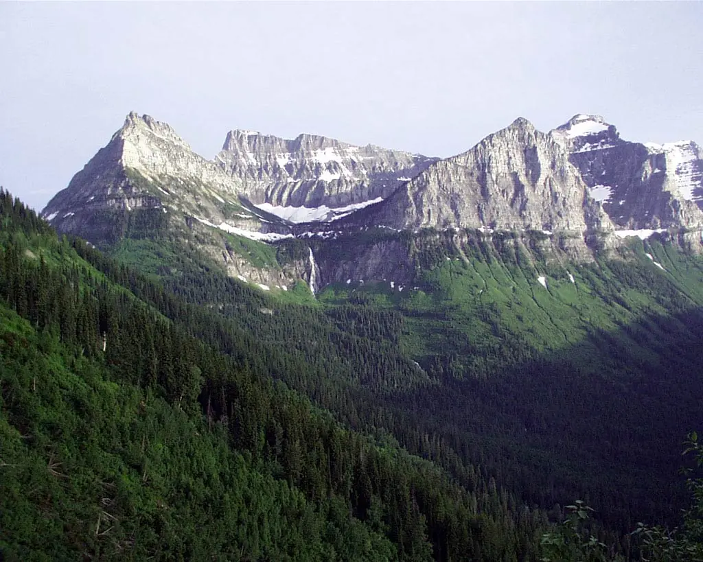
Bird Woman Falls
Flathead County, Montana · nearest listed town Columbia Falls (31 miles in a straight line)
- Reviews
- 11 · 4.7 stars
Located along an unnamed stream 0.8 km (0.5 mi) WNW of Mount Oberlin, 2.6 km (1.6 mi) N of Hidden Lake.
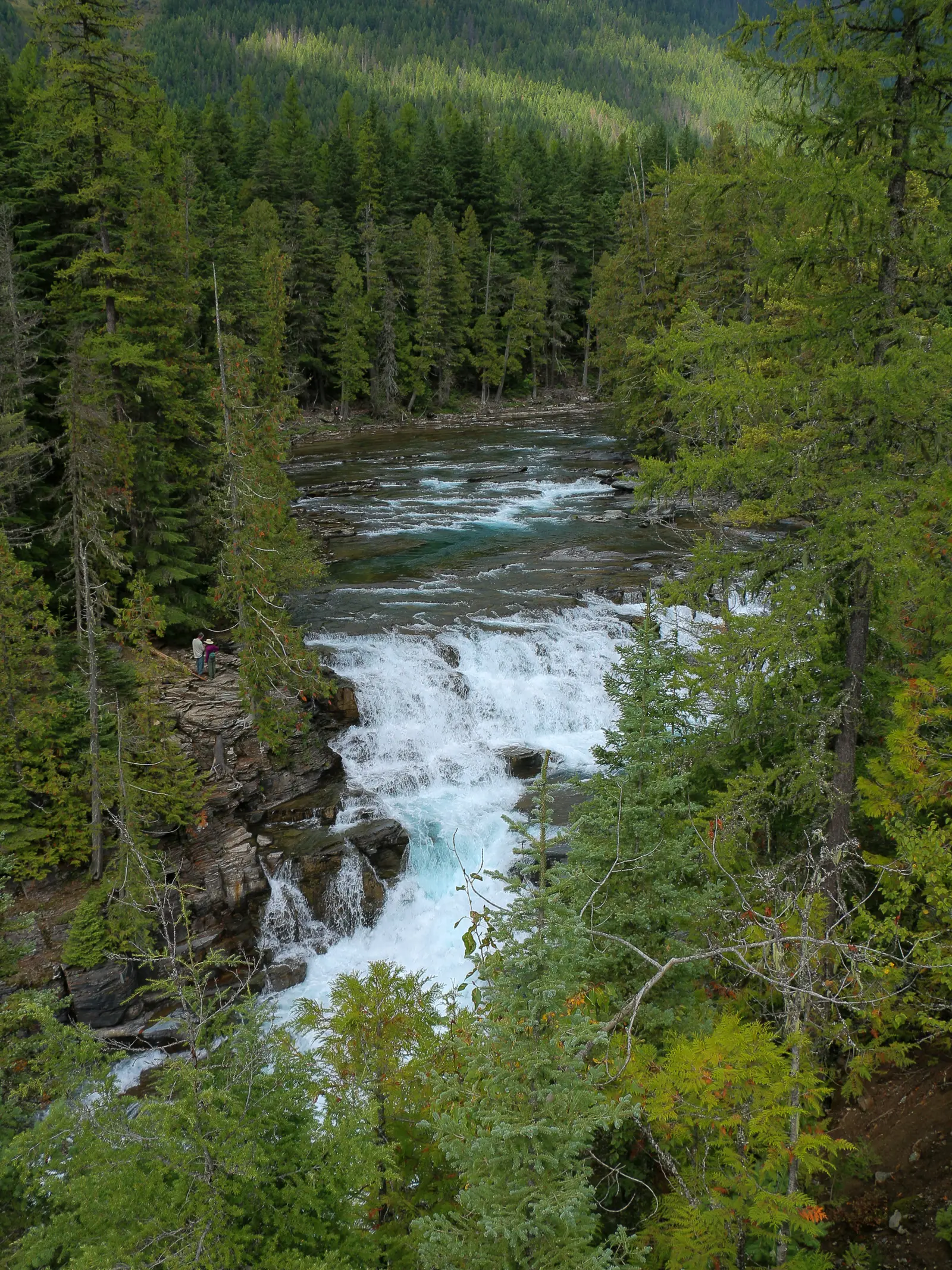
McDonald Falls
Flathead County, Montana · nearest listed town Columbia Falls (24 miles in a straight line)
- Trail
- Upper McDonald Creek Trail
- Reviews
- 53 · 4.8 stars
Redrock Falls
Glacier County, Montana · nearest listed town North Browning (36 miles in a straight line)
- Reviews
- 44 · 4.8 stars
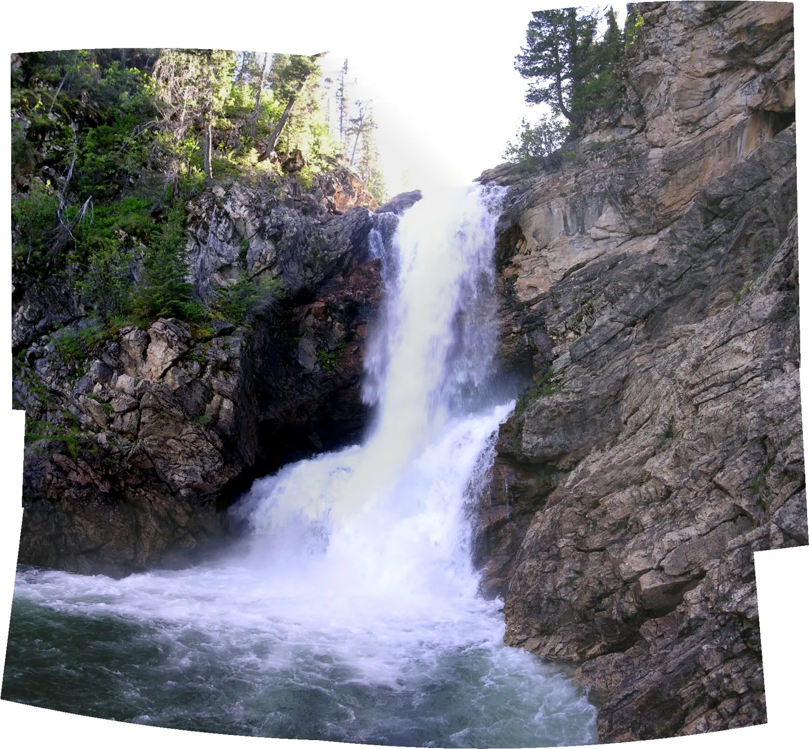
Running Eagle Falls
Glacier County, Montana · nearest listed town North Browning (16 miles in a straight line)
- Trail
- Running Eagle Falls
- Distance
- 0.3 miles one way (one way)
- Reviews
- 42 · 4.9 stars
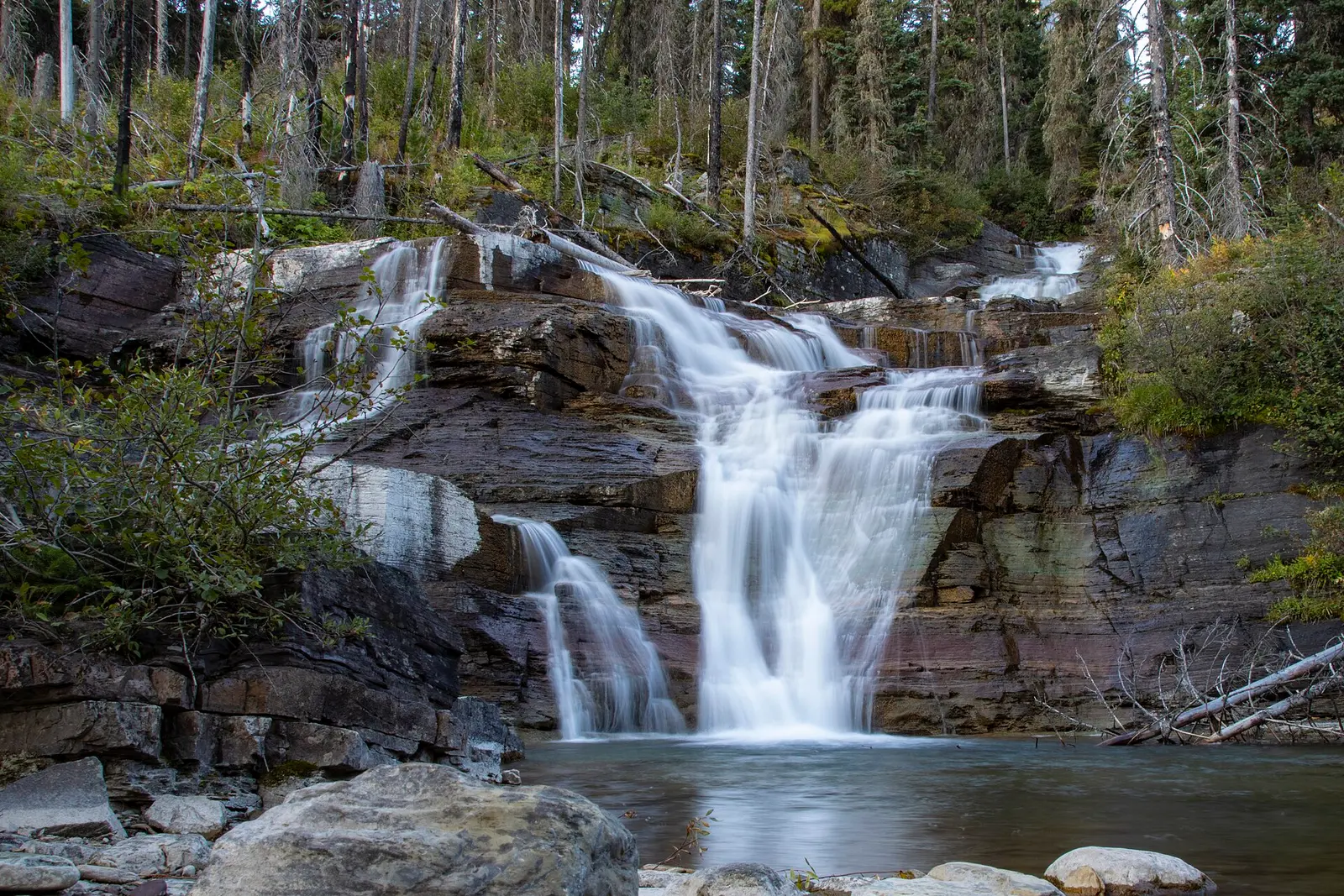
Virginia Falls
Glacier County, Montana · nearest listed town North Browning (28 miles in a straight line)
- Trail
- Virginia Falls Viewpoint Trail
- Reviews
- 95 · 4.9 stars
Side by side
Most of this table is dashes in the distance column. That is the finding. Five falls, including the most reviewed, have no sourced hike length.
| Waterfall | Distance | Elevation | Difficulty | USGS drop | Reviews | Flow note |
|---|---|---|---|---|---|---|
| Apikuni Falls | 0.9 miles one way | — | — | — | 30 | — |
| Baring Falls | — | — | — | — | 34 | — |
| Bird Woman Falls | — | — | — | — | 11 | — |
| McDonald Falls | — | — | — | — | 53 | — |
| Redrock Falls | — | — | — | — | 44 | — |
| Running Eagle Falls | 0.3 miles one way | — | — | — | 42 | — |
| Virginia Falls | — | — | — | — | 95 | — |
A dash means that field is not in the USGS gazetteer text, the trail file, or the hand-checked trip notes for that fall. It is not a claim that the number is zero.
Effort against attention
The ratio can only see Running Eagle Falls (0.3 miles one way, 42 reviews) and Apikuni Falls (0.9 miles one way, 30 reviews). Virginia Falls leads the park with 95 reviews and contributes nothing to the ratio. Using the ratio as a "best of Glacier" list would drop the fall readers mention most.
- Running Eagle Falls: 42 reviews ÷ 0.3 miles = 140 reviews per published mile (one way).
- Apikuni Falls: 30 reviews ÷ 0.9 miles = 33 reviews per published mile (one way).
Seeing more than one
The only sourced short walk is Running Eagle, 0.3 miles one way. Apikuni is the other sourced walk, 0.9 miles one way. A day that claims Virginia Falls, McDonald Falls, Baring Falls, Redrock Falls, or Bird Woman Falls has to leave the mileage blank. This page does.
Two days do not appear, because a second day would be an invented route between falls that have coordinates and no trail stats. The straight-line order from the north is Apikuni Falls, Redrock Falls, Bird Woman Falls, Virginia Falls, Baring Falls, McDonald Falls, Running Eagle Falls. Summed one-way distances are 1.2 miles. Missing: Baring Falls, Bird Woman Falls, McDonald Falls, Redrock Falls, Virginia Falls.
When the nearest gauge runs high
Swiftcurrent Creek at Many Glacier MT (USGS 05014500) sits 1.2 miles from Apikuni Falls. Across 2019–2024 the mean daily flow was highest in June (503 cfs) and lowest in February (22 cfs). Glacier's creeks respond to snow at Logan Pass and to rain on the west side at different times. One gauge is a basin average. It is cited so the month can be checked, not so every fall can be assigned that month.
| Jan | Feb | Mar | Apr | May | Jun | Jul | Aug | Sep | Oct | Nov | Dec |
|---|---|---|---|---|---|---|---|---|---|---|---|
| 24 | 22 | 22 | 71 | 364 | 503 | 206 | 70 | 49 | 53 | 91 | 59 |
Fees, passes, and entry rules
The entrance fee has a winter rate. The 2026 vehicle-reservation answer is no.
- Private vehicle
- $35 for seven days, or $25 from November 1 through April 30.
- On foot or bicycle
- $20, or $15 in that same winter window.
- Motorcycle
- $30, or $20 in winter.
- Non-US residents
- $100 per person age 16 and older, added to the entrance fee, unless admitted with an annual or America the Beautiful pass.
- Vehicle reservation
- The park's 2026 vehicle-reservation page, updated June 22, 2026, says reservations will not be required. Logan Pass parking is time-limited in 2026.
Getting there
From November 1 through April 30 the vehicle fee drops from $35 to $25, and the per-person fee from $20 to $15. Non-US residents have the additional $100 charge on the fee page. Logan Pass parking is time-limited in 2026 even though a vehicle reservation is not required to enter the park.
What this park warns about
The weather page says it is generally 10 to 15 degrees cooler at Logan Pass than lower in the park, and that snow can fall in any month. No trail-specific hazard is stored for these seven falls beyond that climate note, so none is added.
Small things the official pages mention
- Vehicle reservations will not be required in 2026. The page was updated June 22, 2026. (NPS vehicle reservations)
- Logan Pass parking is time-limited in 2026. (NPS vehicle reservations)
Towns our directory files these falls under
Five falls are filed under North Browning and two under Columbia Falls. Those are the nearest cities in our index, on opposite sides of the park.
- North Browning, MT — 5 of these falls, closest about 16 miles in a straight line
- Columbia Falls, MT — 2 of these falls, closest about 24 miles in a straight line
Photographs
How this page was built
One-way distances stay one way. The effort ratio is withheld as a recommendation because the most-reviewed fall has no distance. The 2026 reservation sentence is taken from the dated NPS page, not from older trip notes.
Sources
- NPS administrative boundaries
- Glacier National Park
- NPS: Glacier fees
- NPS: vehicle reservations in 2026
- OpenStreetMap contributors (way 438722747)
- OpenStreetMap contributors (way 82583318)
- OpenStreetMap contributors (way 82583988)
- OpenStreetMap contributors (way 82583168)
- USGS 05014500 Swiftcurrent Creek at Many Glacier MT
- File:Glacier Running Eagle Falls pan.jpg
- File:Small Waterfall near Virginia Falls (54005567295).jpg
- File:Bird Woman Falls NPS.jpg
- File:MK01846 McDonald Falls.jpg