
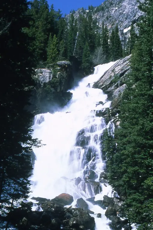
The park's description is the Teton Range over Jackson Hole, wildlife, and lakes. Hidden Falls has 131 reviews and the gazetteer line "In Grand Teton NP, on Cascade Creek." There is no hike length, elevation, or difficulty in the trail file. A boat shuttle across Jenny Lake is a well-known way to shorten the approach. It is not in our sources for this fall, so it is not written up as a schedule or a fare.
Entrance is $35 per vehicle for seven days. Vehicle reservations are not required. Non-US residents pay the additional $100 on this fee page. Lodging and campgrounds are reservable and the park says they can fill months ahead. That is beds, not the trail.
The falls on our maps
One fall, identified by the USGS sentence, without a trail row to plan from.
Hidden Falls
Teton County, Wyoming · nearest listed town Moose Wilson Road (17 miles in a straight line)
- Reviews
- 131 · 4.7 stars
Side by side
The review count is the filled cell. Distance and difficulty are not.
| Waterfall | Distance | Elevation | Difficulty | USGS drop | Reviews | Flow note |
|---|---|---|---|---|---|---|
| Hidden Falls | — | — | — | — | 131 | — |
A dash means that field is not in the USGS gazetteer text, the trail file, or the hand-checked trip notes for that fall. It is not a claim that the number is zero.
Effort against attention
Reviews per mile is undefined. "Easy" is not inferred from the review count. The weather constraint that is sourced is snow in the mountains until mid-July, which can leave a trail in the range under snow after the valley has warmed. The weather page separates those two climates on purpose.
Seeing more than one
There is no mileage itinerary. One day or two days cannot be assigned a distance. The dated constraint is the snow line: the weather page says snow often remains in the mountains until mid-July, while Moose, at the visitor center, reaches the 80s in summer and can see more than a dozen feet of snow in winter. Hidden Falls is on Cascade Creek, which is a mountain creek in the gazetteer, so the mountain sentence is the relevant one.
When the nearest gauge runs high
SNAKE RIVER AT MOOSE, WY (USGS 13013650) sits 8 miles from Hidden Falls. Across 2019–2024 the mean daily flow was highest in June (6,792 cfs) and lowest in December (775 cfs). Cascade Creek is a small tributary. A Snake River gauge at Moose measures the valley river. The station name decides whether the month belongs to this fall. Snow until mid-July is the trail constraint even if the river peaks earlier.
| Jan | Feb | Mar | Apr | May | Jun | Jul | Aug | Sep | Oct | Nov | Dec |
|---|---|---|---|---|---|---|---|---|---|---|---|
| 827 | 822 | 899 | 1,398 | 4,689 | 6,792 | 4,229 | 3,262 | 2,834 | 981 | 823 | 775 |
Fees, passes, and entry rules
An entrance fee, no vehicle reservation, and the nonresident surcharge. Campground reservations are separate and can be gone months out.
- Private vehicle
- $35 for seven days.
- On foot or bicycle
- $20 for visitors 16 and older, for seven days.
- Motorcycle
- $30 for seven days.
- Non-US residents
- $100 per person age 16 and older, added to the entrance fee, unless admitted with an annual or America the Beautiful pass.
- Vehicle reservation
- The fee page says vehicle reservations are not needed to enter. Lodging and campgrounds are reservable and can fill months ahead.
Getting there
The fee page says to expect lines at the gates and crowds at popular areas in summer, and it says you do not need a reservation to enter. No shuttle timetable for Hidden Falls is stored, so the page stops there.
What this park warns about
Afternoon storms, lightning, and rockfall are on the weather page as mountain conditions, distinct from the valley. Snow on trails in summer is stated. Those are the sourced mountain cautions. A fall-specific swimming or current warning is not in the trip file.
Small things the official pages mention
- Snow often stays in the mountains until mid-July. (NPS weather)
- Vehicle reservations are not required. The entrance fee is. (NPS fees)
Towns our directory files these falls under
Moose Wilson Road is the town label in our index, about 17 straight-line miles from the coordinate. Moose Wilson Road is that label. It is not the trailhead name.
- Moose Wilson Road, WY — 1 of these falls, closest about 17 miles in a straight line
Photographs
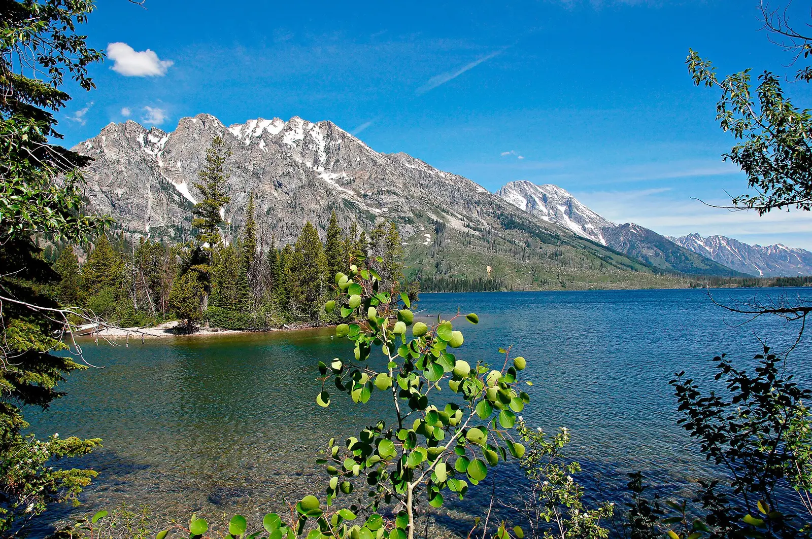
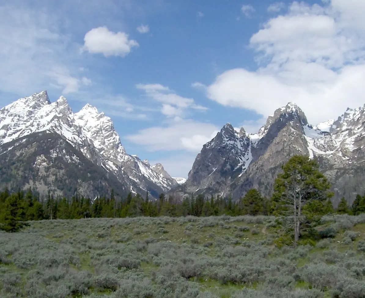
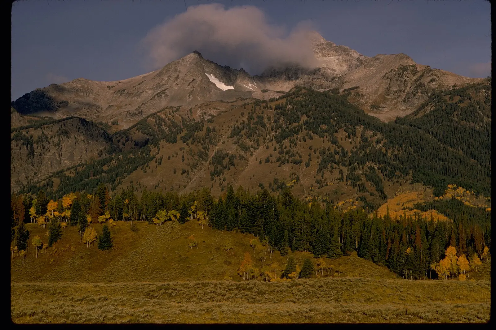
How this page was built
No trail distance, so no ratio and no itinerary miles. The Jenny Lake boat is omitted because it is not in the cited sources. Snow timing is the weather page's mountain sentence, not a valley forecast. The gauge is printed with its station name so a Snake River record is not silently treated as Cascade Creek.
Sources
- NPS administrative boundaries
- Grand Teton National Park
- NPS: Grand Teton fees
- NPS: Grand Teton weather
- USGS 13013650 SNAKE RIVER AT MOOSE, WY
- File:Hidden Falls Smaldone.jpg
- File:Grand Tetons Jenny Lake North View.jpg
- File:Cascade Canyon from Jackson Hole.jpg
- File:Grand Teton National Park and John D. Rockefeller, Jr. Memorial Parkway GRTE1769.jpg