
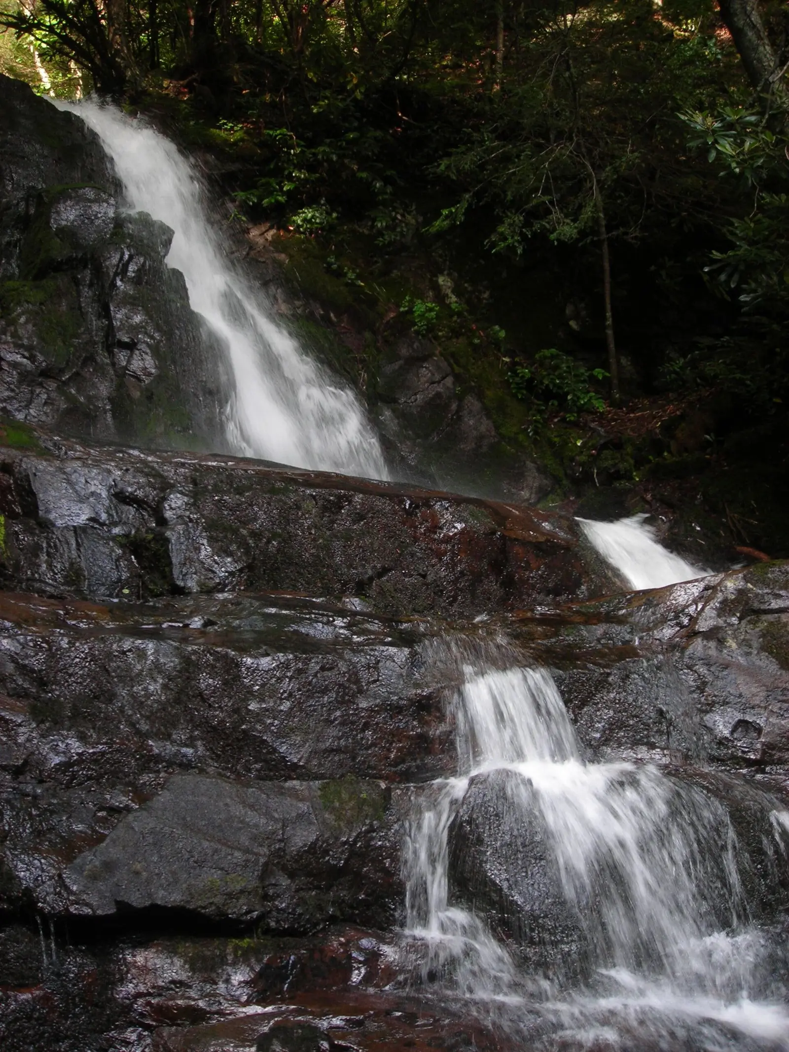
The park straddles the North Carolina–Tennessee line and calls itself the most visited national park in the country. Six of our pages are inside the boundary: Mouse Creek Falls on the North Carolina side, and Abrams, Grotto, Laurel, Ramsey Cascades, and Hen Wallow in Tennessee. NPS says the high country averages more than 85 inches of rain a year, and the lowlands about 55. That is the flow story. There is no single snowmelt month in the park's waterfall text.
Laurel Falls has 195 reviews and a trail file distance of 1.2 miles one way. Ramsey Cascades has no reviews in our file and, on the NPS waterfall page, an 8-mile round trip with more than 2,100 feet of gain. NPS calls Ramsey the tallest waterfall in the Smokies and groups Abrams, Grotto, Laurel, and Rainbow Falls as the hikes that together see more than 200,000 visits a year. Rainbow Falls is not one of our published pages, so it is not in the table.
The falls on our maps
Ramsey's distance and elevation are copied from the NPS waterfall page, not from the OpenStreetMap trail file, which did not have a length. The other distances are from the trail file.
Mouse Creek Falls
Haywood County, North Carolina · nearest listed town Cove Creek (11 miles in a straight line)
- Reviews
- 104 · 4.7 stars
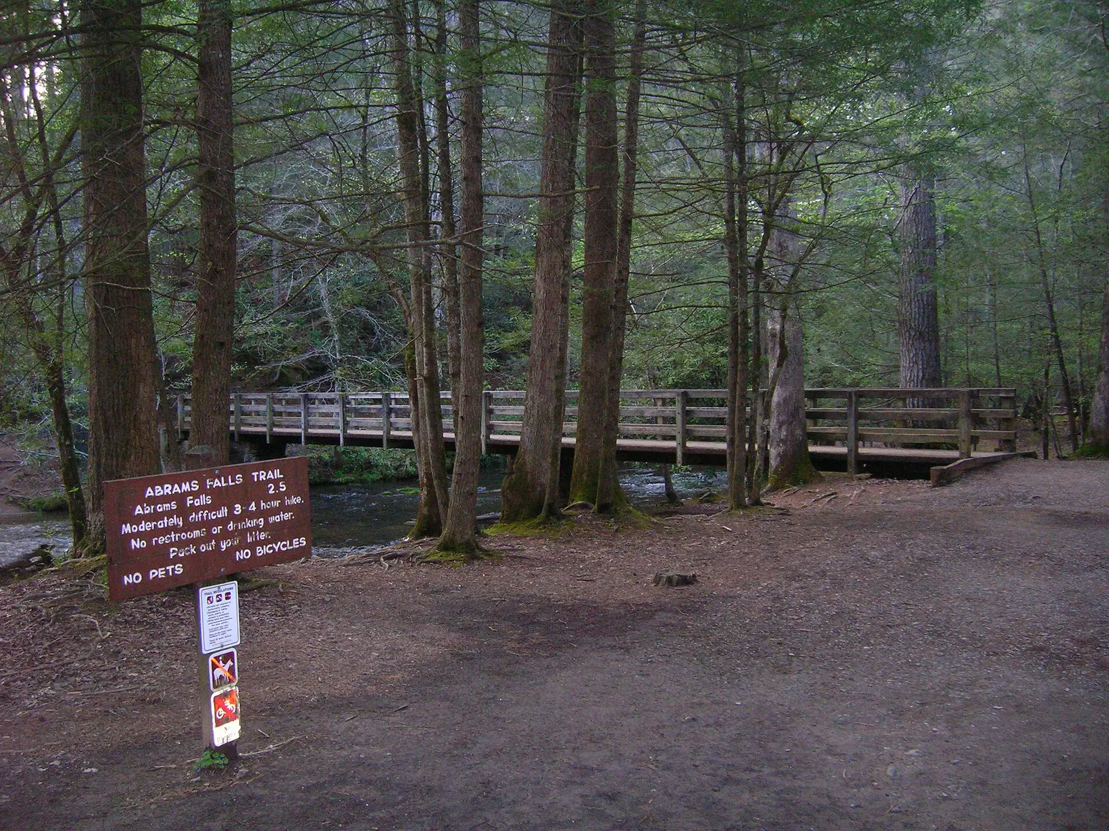
Abrams Falls
Blount County, Tennessee · nearest listed town Maryville (11 miles in a straight line)
- Trail
- Abrams Falls Trail
- Reviews
- 89 · 4.7 stars
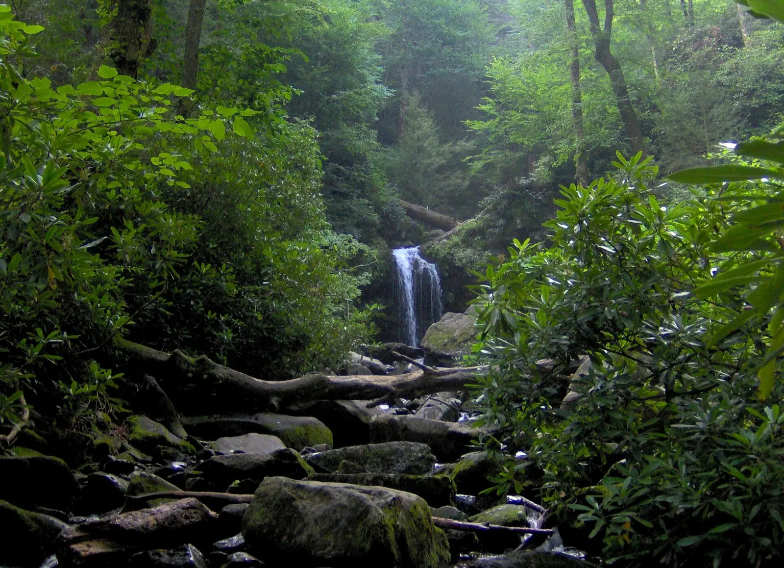
Grotto Falls
Sevier County, Tennessee · nearest listed town Gatlinburg (4.5 miles in a straight line)
- Reviews
- 66 · 4.6 stars
Laurel Falls
Sevier County, Tennessee · nearest listed town Gatlinburg (5.2 miles in a straight line)
- Trail
- Laurel Falls Trail
- Distance
- 1.2 miles one way (one way)
- Reviews
- 195 · 4.7 stars
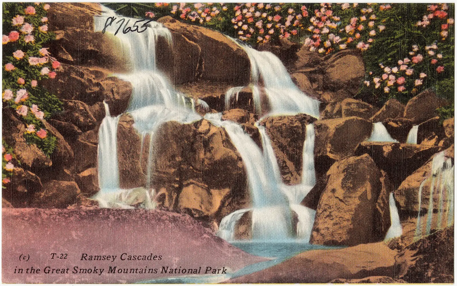
Ramsey Cascades
Sevier County, Tennessee · nearest listed town Gatlinburg (12 miles in a straight line)
- Trail
- Ramsey Cascades Trail
- Distance
- 8-mile round trip (round trip)
- Elevation
- more than 2,100 feet
- Difficulty
- challenging
Located in Great Smoky Mountains National Park, 19 km (12 mi) east of Gatlinburg.
Hen Wallow Falls
Cocke County, Tennessee · nearest listed town Newport (15 miles in a straight line)
- Reviews
- 114 · 4.7 stars
Side by side
Laurel's distance is one way. Ramsey's is a round trip. They are not the same kind of number, and the ratio below does not pretend they are.
| Waterfall | Distance | Elevation | Difficulty | USGS drop | Reviews | Flow note |
|---|---|---|---|---|---|---|
| Mouse Creek Falls | — | — | — | — | 104 | — |
| Abrams Falls | — | — | — | — | 89 | — |
| Grotto Falls | — | — | — | — | 66 | — |
| Laurel Falls | 1.2 miles one way | — | — | — | 195 | — |
| Ramsey Cascades | 8-mile round trip | more than 2,100 feet | challenging | — | — | — |
| Hen Wallow Falls | — | — | — | — | 114 | — |
A dash means that field is not in the USGS gazetteer text, the trail file, or the hand-checked trip notes for that fall. It is not a claim that the number is zero.
Effort against attention
If you divide reviews by published miles, Laurel Falls wins on attention and Ramsey Cascades wins on work: 195 reviews over 1.2 miles one way, versus zero reviews over 8 miles and more than 2,100 feet. Abrams, Grotto, Hen Wallow, and Mouse Creek have reviews and no length, so they are not in that division. Grotto is one of the four hikes NPS names as heavily used, which the review count only partly shows.
Seeing more than one
The short sourced hike is Laurel Falls, 1.2 miles one way. NPS lists it among the crowded ones and says parking is often limited. A parking tag is required for more than 15 minutes, and most trailheads do not sell the tag. Buy it before you reach the lot.
The long sourced hike is Ramsey Cascades, 8 miles round trip, more than 2,100 feet, called challenging. That is the second day if the goal is the tall fall rather than the busy one. There is no sourced chain that adds Abrams or Grotto onto Laurel, so they are not given a combined mileage. Straight-line order: Hen Wallow Falls, Ramsey Cascades, Grotto Falls, Laurel Falls, Abrams Falls, Mouse Creek Falls. Counted miles: 9.2 miles. No distance on file for Mouse Creek Falls, Abrams Falls, Grotto Falls, Hen Wallow Falls.
Fees, passes, and entry rules
The cost is a parking tag, not an entrance fee, and the federal annual pass does not replace it.
- Entrance
- No entrance fee. A parking tag is required for any stop longer than 15 minutes, anywhere in the park.
- Parking tag
- $5 for a day, $15 for a week, $40 for a year. Tags are physical, not a screenshot, and they are not a parking space.
- Passes
- America the Beautiful passes, including Senior, Access, and Military, are not accepted in place of the parking tag.
Getting there
Daily tags are $5, weekly $15, annual $40. They have to be the physical tag, displayed in the vehicle. America the Beautiful passes are not accepted instead. The tag does not reserve a parking space, and many trailheads have no tag machine.
What this park warns about
NPS says water recreation is not recommended. Drowning is one of the leading causes of death in the park, and the waterfall page ties injuries to swimming, climbing around falls, and tubing. That warning covers the popular falls by name only in the sense that the page is about park waterfalls generally. It is the park's warning, not a trail-by-trail note.
Small things the official pages mention
- Ramsey Cascades is an 8-mile round trip with more than 2,100 feet of gain, and NPS calls it the tallest in the Smokies. (NPS waterfalls)
- Parking tags: $5 / $15 / $40. Not replaced by an America the Beautiful pass. (NPS fees)
- High country averages more than 85 inches of rain a year. Lowlands average 55. (NPS waterfalls)
Towns our directory files these falls under
Mouse Creek Falls is filed in North Carolina. The other five are filed in Tennessee, under Maryville, Gatlinburg, and Newport. The state line is the point of the park, and the town list shows it.
- Gatlinburg, TN — 3 of these falls, closest about 4 miles in a straight line
- Cove Creek, NC — 1 of these falls, closest about 11 miles in a straight line
- Maryville, TN — 2 of these falls, closest about 11 miles in a straight line
Photographs
How this page was built
Ramsey's 8 miles and "more than 2,100 feet" come from the NPS waterfall page and are flagged by source. "More than" is not added into a numeric elevation total. Laurel's one-way mile is not doubled. Review counts are Google totals on our pages, which understate Ramsey because the page has none.
Sources
- NPS administrative boundaries
- Great Smoky Mountains National Park
- NPS: Smokies parking tags
- NPS: Waterfalls in the Smokies
- OpenStreetMap contributors (way 1356457069)
- OpenStreetMap contributors (way 1069342322)
- OpenStreetMap contributors (way 279159542)
- File:Laurel Falls.JPG
- File:Ramsey Cascades in the Great Smoky Mountains National Park (87655).jpg
- File:Roaringfork-gf1.jpg
- File:Abrams Falls Trailhead.JPG