
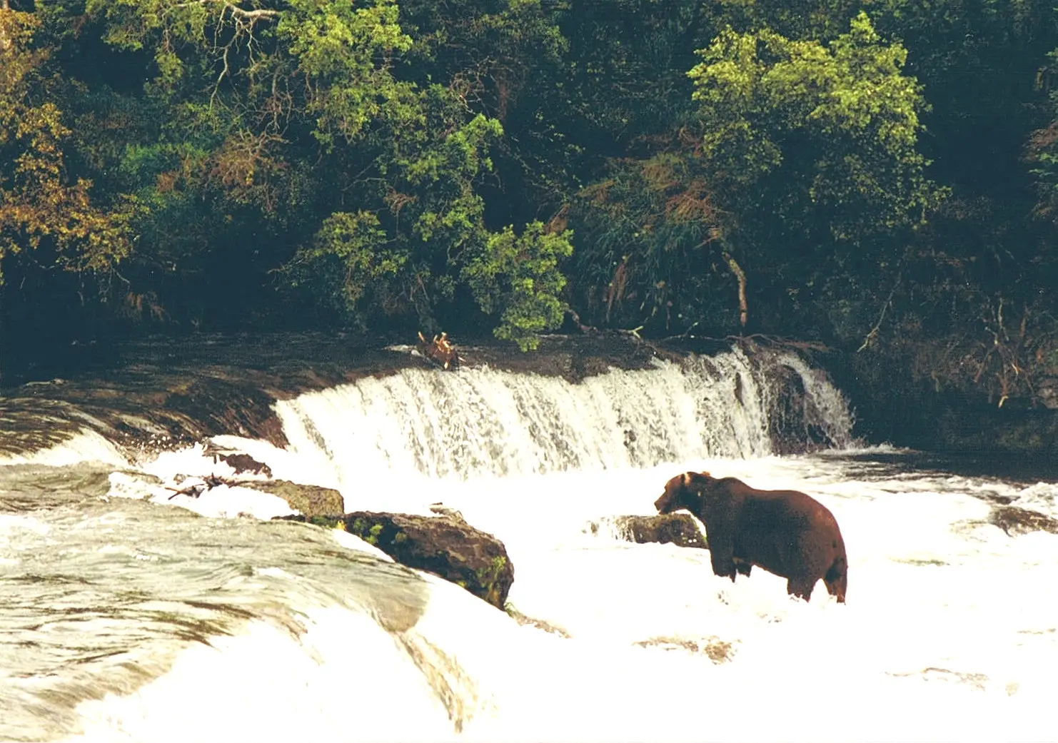
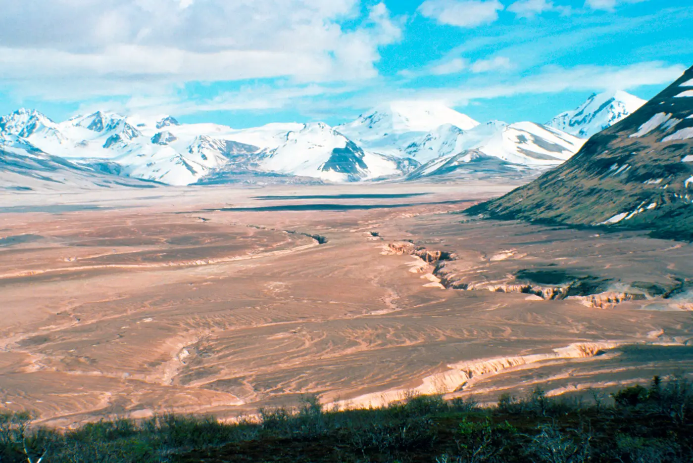
The park was established in 1918 around Novarupta and the Valley of Ten Thousand Smokes, and the current description adds salmon habitat and brown bears. Brooks Falls is the published page with reviews: 21. USGS places it at the outlet of Lake Brooks. Fultons Falls and Wolverine Falls are also inside the boundary, in the old "national monument" wording of the gazetteer, and neither has a review count or a hike length.
There is no effort ranking. A ranking would require distances. What the official pages do provide is a permit line that is easy to misread. From June 15 through October 31, activities in the Brooks River corridor need a permit. The corridor is the river and 50 yards of bank, from the Lake Brooks inlet down to the elevated bridge. Boardwalks, viewing platforms, graveled roads, and trails are excluded from that permit. The booking fee is $6, the permit lasts 7 days, and the group cap is 6.
The falls on our maps
Brooks Falls is the only one of the three with a public reputation in our review data. The other two are gazetteer names inside the park, not trail descriptions.
Brooks Falls
Lake and Peninsula County, Alaska · nearest listed town Dillingham (101 miles in a straight line)
- Reviews
- 21 · 4.8 stars
Near the S shore of Iliuk Arm, Naknek Bay, on the outlet of Lake Brooks, in Katmai National Monument, NW on Mount Katmai, Alaska Peninsula, Aleutian Range.
Fultons Falls
Kodiak Island County, Alaska · nearest listed town Kodiak Station (91 miles in a straight line)
in Barrier Range, on Alaska Peninsula, in Katmai National Monument, 8 mi. S of Mount Katmai, Aleutian Range
Wolverine Falls
Lake and Peninsula County, Alaska · nearest listed town Kodiak Station (94 miles in a straight line)
on S tributary 3 mi. SE of its junction with Savonoski River, on Alaska Peninsula, in Katmai National Monument, 21 mi. NE of Mount Katmai, Aleutian Range
Side by side
Every distance cell is blank. That is an empty trail file, not a claim that the walks are zero.
| Waterfall | Distance | Elevation | Difficulty | USGS drop | Reviews | Flow note |
|---|---|---|---|---|---|---|
| Brooks Falls | — | — | — | — | 21 | — |
| Fultons Falls | — | — | — | — | — | — |
| Wolverine Falls | — | — | — | — | — | — |
A dash means that field is not in the USGS gazetteer text, the trail file, or the hand-checked trip notes for that fall. It is not a claim that the number is zero.
Effort against attention
No fall has a sourced mileage, so reviews per mile is not computed. Brooks Falls has 21 reviews and the other two have none. Attention is concentrated on one bear-viewing waterfall. Effort is not something this dataset can score.
Seeing more than one
A one-day or two-day hiking itinerary is not written, because there is no trail length to add. The plan the sources support is about the permit geography at Brooks, not about linking Fultons Falls to Wolverine Falls on foot. The straight-line order of the three coordinates is Brooks Falls, Wolverine Falls, Fultons Falls. Those points are far enough apart, in a park with no road between them in our files, that a chained hike would be fiction.
Fees, passes, and entry rules
Entrance is free. The Brooks corridor permit is seasonal and does not cover the viewing platform.
- Entrance
- An entrance pass is not required.
- Brooks River corridor
- From June 15 through October 31 a permit is required for activities in the Brooks River corridor, from Lake Brooks downstream to the elevated bridge, within 50 yards of the water. The permit is not required for graveled roads, trails, boardwalks, or wildlife viewing platforms. Each permit lasts 7 days, groups are capped at 6, and Recreation.gov charges a $6 booking fee.
- Other recreation
- The permits page says there are no permits required for recreation in Katmai apart from the special-use cases and the Brooks corridor rule above.
Getting there
The permits page says no permit is required for ordinary recreation outside the cases it lists. Reaching Brooks Camp is a trip-planning problem the waterfall file does not solve with a road distance. Our town index files Brooks Falls under Dillingham and the other two under Kodiak Station, which is a clue about how remote the coordinates are, not a driving direction.
What this park warns about
The sourced caution is the bear corridor itself: the permit exists because of salmon season on that stretch of river, and the park carves the platforms out of the permit so people can watch from the built walkway. This page does not add distance rules or food-storage rules that are not in the three sources cited.
Small things the official pages mention
- No entrance pass. (NPS fees)
- Brooks corridor permit: June 15–October 31, not required on the viewing platforms. $6 booking fee, 7 days, group of 6. (NPS Brooks Camp)
Towns our directory files these falls under
Brooks Falls is filed under Dillingham, about 101 straight-line miles from that town in our index. The other two use a different town. Treat those distances as "not a day trip from the city," not as a route.
- Kodiak Station, AK — 2 of these falls, closest about 91 miles in a straight line
- Dillingham, AK — 1 of these falls, closest about 101 miles in a straight line
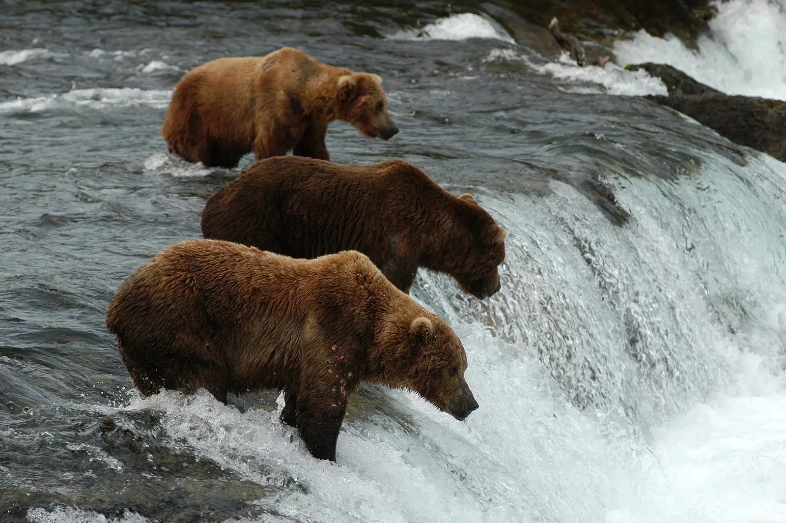
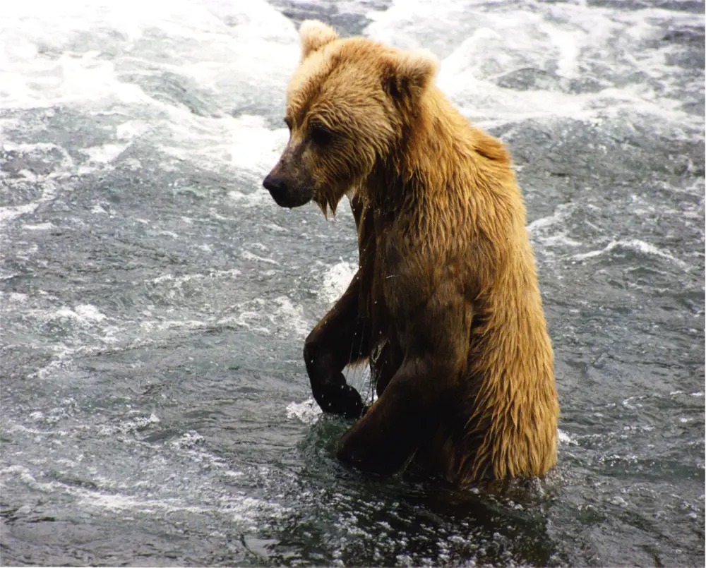
Photographs
How this page was built
With no trail distances, the effort ratio and the mileage total are omitted rather than filled. The permit exception for platforms is quoted narrowly so the page does not say "no permit" and "permit required" about the same spot. Review counts are the crowd measure, and they only illuminate Brooks Falls.
Sources
- NPS administrative boundaries
- Katmai National Park
- NPS: Katmai fees
- NPS: Katmai permits
- NPS: Brooks Camp
- File:Brown bear Brooks Falls Katmai.jpg
- File:Bears on Brooks Falls (2ad2bce3-1dd8-b71c-07aa-52e8e06d4d62).jpg
- File:Brown bear at Brooks Falls.jpg
- File:Valley of Ten Thousand Smokes from Overlook Cabin.jpg