
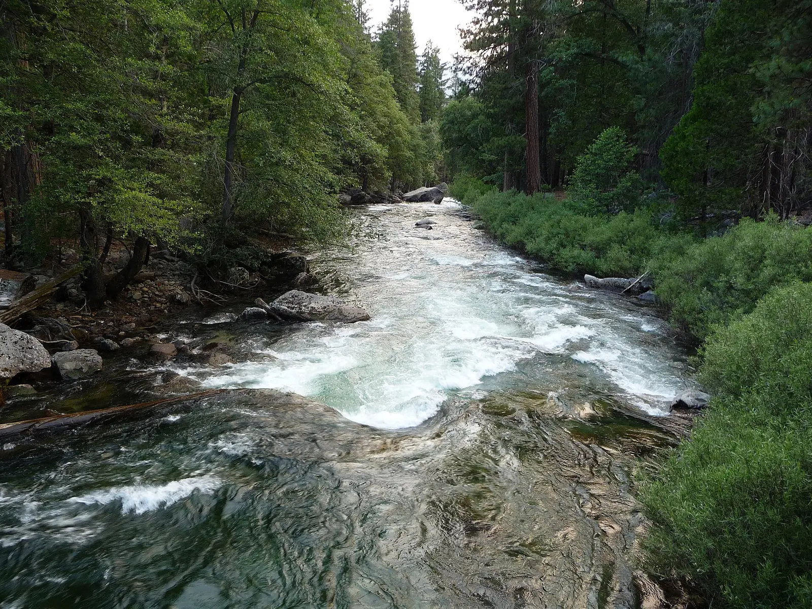
Mist Falls has 68 reviews and Roaring River Falls has 65. The counts are almost the same, which is unusual next to parks where one overlook takes nearly all the reviews. Neither fall has a distance, elevation, or difficulty in the trail file or the trip notes. A Google blurb on Roaring River mentions a short paved path. That blurb is not used here.
The two coordinates are about 4.6 miles apart in a straight line. That is too far to call them one hike, and it is not a driving time. The shared entrance pass with Sequoia means a Tokopah Falls day and a Kings Canyon day can be the same seven-day receipt. They are still different parks.
The falls on our maps
Both falls are listed because the boundary contains them. The blank trail rows are the reason this page does not rank them.
Mist Falls
Fresno County, California · nearest listed town Big Pine (28 miles in a straight line)
- Reviews
- 68 · 4.8 stars
Roaring River Falls
Fresno County, California · nearest listed town Three Rivers (28 miles in a straight line)
- Reviews
- 65 · 4.8 stars
Side by side
The review column is the only complete numeric column. Treat the dashes as missing measurements.
| Waterfall | Distance | Elevation | Difficulty | USGS drop | Reviews | Flow note |
|---|---|---|---|---|---|---|
| Mist Falls | — | — | — | — | 68 | — |
| Roaring River Falls | — | — | — | — | 65 | — |
A dash means that field is not in the USGS gazetteer text, the trail file, or the hand-checked trip notes for that fall. It is not a claim that the number is zero.
Effort against attention
Reviews per mile cannot be computed. The two review totals are close enough that a crowd ranking is almost a tie, and a tie without distances does not tell you which walk is shorter. No easiest option is stated.
Seeing more than one
There is no one-day plan that visits both, because 4.6 straight-line miles is not a trail connection and we have no road time. There is no two-day hiking plan with miles to add. What can be said is that the entrance fee covers both this park and Sequoia for up to seven days, and that no reservation is required to enter.
Rivers in these parks are called extremely hazardous in spring and early summer, when snowmelt makes them swift and cold. That is the season sentence the basic-information page gives. It is about the rivers, which is as close as the official text gets to a flow calendar for these two falls.
When the nearest gauge runs high
MARBLE FORK KAWEAH R AB HORSE C NR LODGEPOLE CA (USGS 11206820) sits 12.5 miles from Roaring River Falls. Across 2019–2024 the mean daily flow was highest in June (100 cfs) and lowest in October (1 cfs). Use the station name. A Kaweah gauge and a Kings River gauge are not interchangeable, and neither is Mist Falls itself.
| Jan | Feb | Mar | Apr | May | Jun | Jul | Aug | Sep | Oct | Nov | Dec |
|---|---|---|---|---|---|---|---|---|---|---|---|
| 7 | 9 | 10 | 40 | 91 | 100 | 64 | 14 | 2 | 1 | 2 | 5 |
Fees, passes, and entry rules
One vehicle pass covers Sequoia, Kings Canyon, and the Hume Lake District. Non-US residents pay an added $100 per person on this fee page.
- Private vehicle
- $35 for one to seven days. The same pass covers Sequoia National Park, Kings Canyon National Park, and the Hume Lake District of Sequoia National Forest.
- On foot or bicycle
- $20 per person for one to seven days.
- Motorcycle
- $30 for seven days.
- Non-US residents
- $100 per person age 16 and older, added to the entrance fee, unless admitted with an annual or America the Beautiful pass.
- Reservation
- The basic-information page says no reservation is required to enter Sequoia and Kings Canyon. Campgrounds are reservation-only and the page says summer sites are extremely limited.
Getting there
No entrance reservation. Campgrounds are reservation-only, and the park says summer availability is extremely limited. Cedar Grove, on the weather page, is usually open to vehicles from late spring into early fall. Roads can close after winter storms until they are plowed.
What this park warns about
The basic-information page says every river in the parks is extremely hazardous in spring and early summer because of cold, fast snowmelt. That is the safety note for a waterfall trip here. There is no trail-specific note for Mist Falls or Roaring River Falls in our files.
Small things the official pages mention
- No reservation to enter. The vehicle pass is $35 for one to seven days and covers both parks. (NPS fees)
- Rivers are extremely hazardous in spring and early summer. (NPS basic information)
Towns our directory files these falls under
Mist Falls is filed under Big Pine and Roaring River Falls under Three Rivers. Three Rivers is the usual gateway town in our index for the Kaweah side. Big Pine is a straight-line assignment on the other side of the Sierra, which is a reason not to treat the town label as the trailhead.
- Big Pine, CA — 2 of these falls, closest about 28 miles in a straight line
Photographs
How this page was built
No distances, so no ratio and no mileage total. The separation between the falls is straight-line miles from the coordinates, rounded to one decimal. The paved-path claim that appears in a Google description is excluded. The river warning is the NPS basic-information sentence.
Sources
- NPS administrative boundaries
- Kings Canyon National Park
- NPS: Sequoia and Kings Canyon fees
- NPS: Sequoia and Kings Canyon basic information
- USGS 11206820 MARBLE FORK KAWEAH R AB HORSE C NR LODGEPOLE CA
- File:Kings Canyon National Park - Kings River near Zumwalt Meadow.JPG
- File:South Fork Kings River Kings Canyon National Park - 51719246188.jpg
- File:KingsCanyonWaterfall.JPG