
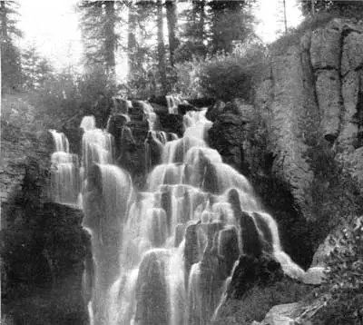
The park describes fumaroles, wildflower meadows, and a volcanic landscape that is still being shaped by hot water. Kings Creek Falls is the published fall inside the boundary: 67 reviews, 1.1 miles one way, difficulty recorded as SAC T2. USGS places it on Kings Creek in the park. The weather page says trails snow over in winter and melt out in spring, and that the main road is dug out from 30 to 40 feet of snow each year.
The fee changes with that season. A private vehicle is $30 from April 16 through November 30 and $10 from December 1 through April 15. The cheap window is the buried-trail window. That is the planning tension, and it is entirely from the fee page and the weather page.
The falls on our maps
One distance, one way, with a trail classification and no elevation gain in the file.
Kings Creek Falls
Shasta County, California · nearest listed town Chester (15 miles in a straight line)
- Trail
- Kings Creek Horse Trail
- Distance
- 1.1 miles one way (one way)
- Difficulty
- SAC T2 mountain hiking
- Reviews
- 67 · 4.7 stars
Side by side
SAC T2 is the difficulty cell. It is a classification from the trail file, not a sentence about who the hike suits.
| Waterfall | Distance | Elevation | Difficulty | USGS drop | Reviews | Flow note |
|---|---|---|---|---|---|---|
| Kings Creek Falls | 1.1 miles one way | — | SAC T2 mountain hiking | — | 67 | — |
A dash means that field is not in the USGS gazetteer text, the trail file, or the hand-checked trip notes for that fall. It is not a claim that the number is zero.
Effort against attention
There is no second fall to rank. The single figure is 1.1 miles one way and 67 reviews. "Easiest in the park" would require another measured hike. What can be said is that 1.1 miles one way is a short distance on paper, and the weather page says the trail may not be melted out until spring.
Seeing more than one
The outing is Kings Creek Falls, 1.1 miles one way. A second day is not added. The road opening is the other half of the plan: the park clears 30 to 40 feet of snow off the main road every spring, so a date on the calendar is not the same as an open trailhead.
Fees, passes, and entry rules
Two vehicle prices, split on April 16 and December 1. The lower price is the snow season.
- Private vehicle, Apr 16–Nov 30
- $30 for up to seven days.
- Private vehicle, Dec 1–Apr 15
- $10 for up to seven days.
- Motorcycle
- $25 in the main season, $10 in the winter window.
- On foot or bicycle
- $15 in the main season, $10 in winter.
Getting there
When the entrance station is not staffed, the fee page says digital passes can be bought online. That is the winter practicality. No timed-entry system is described on the pages checked.
What this park warns about
The hazard on file is seasonal access, not a cliff warning: snow on the trails in winter, melt in spring, and a road that starts the year under 30 to 40 feet of snow. SAC T2 is the only difficulty tag.
Small things the official pages mention
- Trails snow over in winter and melt out in spring. The main road is cleared of 30–40 feet of snow. (NPS weather)
- Vehicle fee is $30 from April 16 to November 30 and $10 from December 1 to April 15. (NPS fees)
Towns our directory files these falls under
Chester is the nearest city in our index, about 15 straight-line miles away. Chester is the town label, not the Kings Creek trailhead.
- Chester, CA — 1 of these falls, closest about 15 miles in a straight line
Photographs
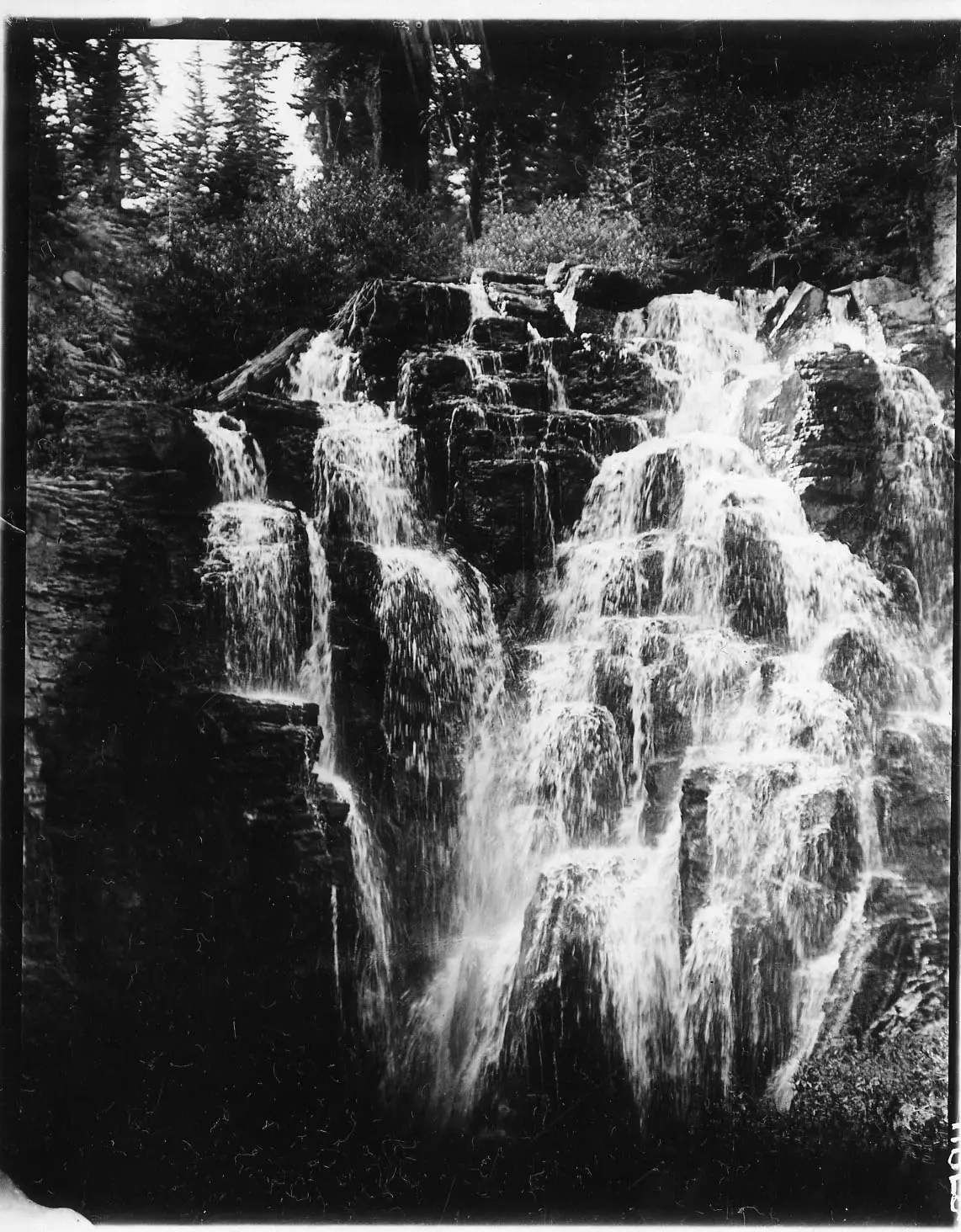
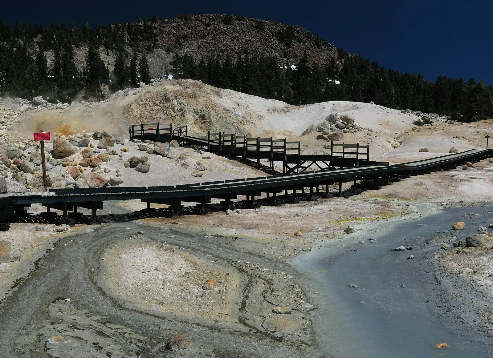
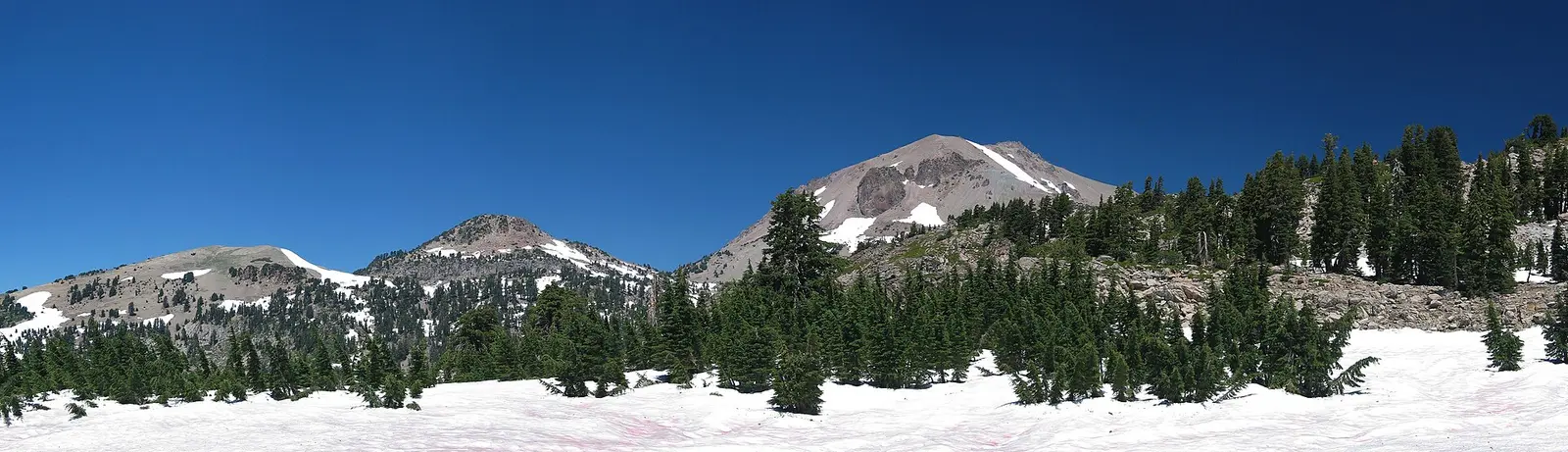
How this page was built
One fall, so no ranking. The one-way mile is not doubled. The fee split and the snow sentence are kept together because they describe the same season from two NPS pages. The gauge is accepted only as a dated discharge record at the named station.
Sources
- NPS administrative boundaries
- Lassen Volcanic National Park
- NPS: Lassen fees
- NPS: Lassen weather
- OpenStreetMap contributors (way 524799802)
- File:Kings Creek Falls.jpg
- File:Lassen National Park (d64e1ee2df6941808fc8725397353a35).jpg
- File:USA Lassen Bumpass Hell 1 CA.jpg
- File:USA Lassen NP algae snow meadow CA.jpg