
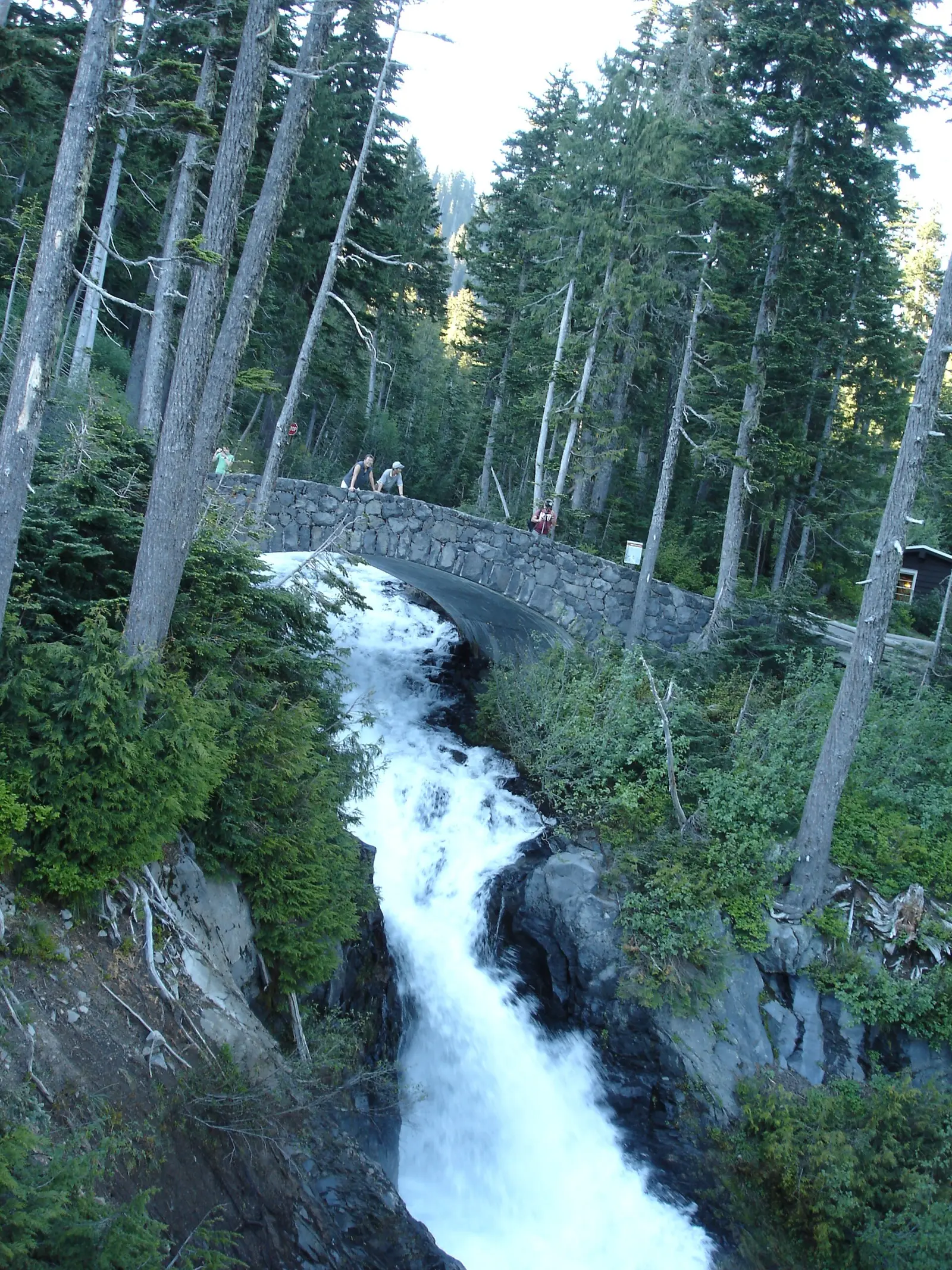
NPS describes Rainier as 14,410 feet, the most glaciated peak in the contiguous United States, with five major rivers off the ice. The park homepage names Narada Falls as one of dozens of waterfalls fed by glacier and snowmelt creeks. Five published pages are inside the boundary. Christine Falls and Carter Falls have reviews and no distance. Narada, Silver, and Comet have distances, all of them one way.
Narada has 260 of the 582 reviews. The trip notes say the upper viewpoint is open year-round and the lower trail is hazardous when snow-covered, and they put the best snow-free season for that lower trail in summer and early fall. The weather page adds that snow remains between 5,000 and 8,000 feet well into mid-July, and that late July and August are generally the driest, warmest months, with rain still possible.
The falls on our maps
Narada's elevation note is a descent to the lower viewpoint, about 200 feet down and back up. It is shown in the table and kept out of any elevation sum, because the parser skips the word descent.
Carter Falls
Lewis County, Washington · nearest listed town Eatonville (25 miles in a straight line)
- Reviews
- 31 · 4.7 stars
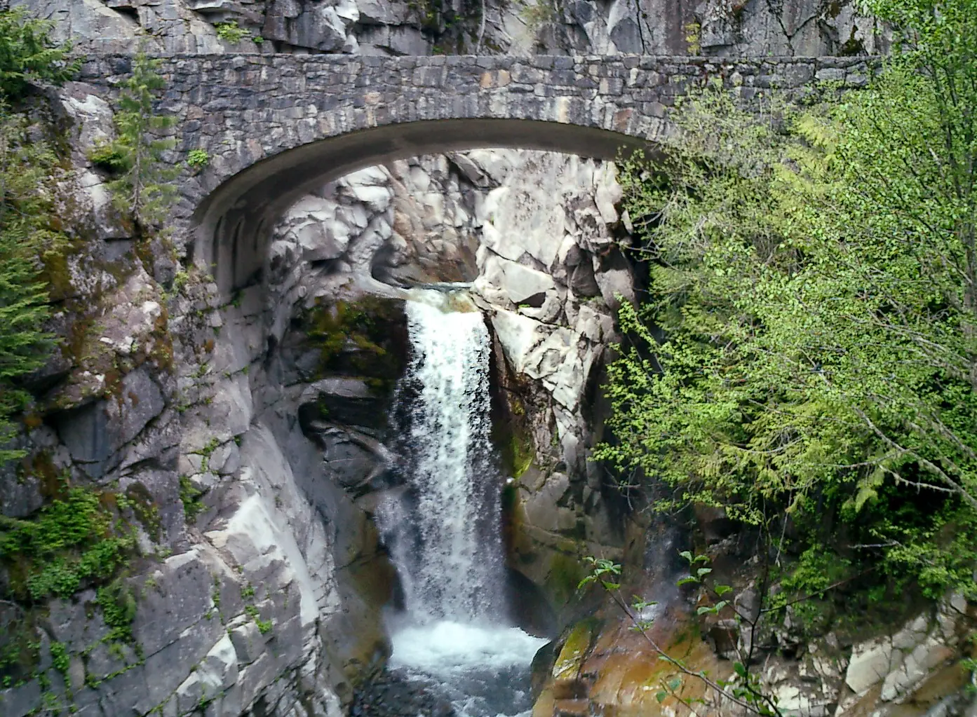
Christine Falls
Pierce County, Washington · nearest listed town Eatonville (24 miles in a straight line)
- Reviews
- 103 · 4.8 stars
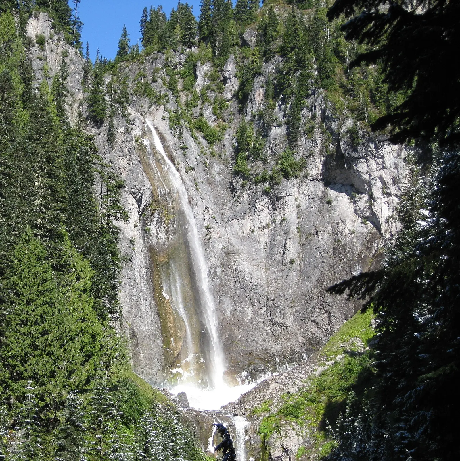
Comet Falls
Pierce County, Washington · nearest listed town Eatonville (24 miles in a straight line)
- Trail
- Van Trump Trail
- Distance
- 1.8 miles one way (one way)
- Difficulty
- SAC T1 hiking
- Reviews
- 56 · 4.6 stars
Narada Falls
Lewis County, Washington · nearest listed town Eatonville (25 miles in a straight line)
- Trail
- Narada Falls Trail
- Distance
- 0.2 mile one way (0.4 mile round trip) (round trip)
- Elevation
- About 200 feet of descent/ascent on the lower viewpoint trail
- Difficulty
- Easy for the upper viewpoint; moderate and slippery for the lower trail
- Reviews
- 260 · 4.9 stars
- Flow timing
- Summer and early fall for snow-free lower trail; upper pullout is open year-round but the lower trail is hazardous when snow-covered
Silver Falls
Lewis County, Washington · nearest listed town Eatonville (34 miles in a straight line)
- Trail
- Silver Falls Trail
- Distance
- 0.3 miles one way (one way)
- Difficulty
- SAC T2 mountain hiking
- Reviews
- 132 · 4.9 stars
Side by side
One-way distances are labeled. Christine and Carter stay in the table without a length.
| Waterfall | Distance | Elevation | Difficulty | USGS drop | Reviews | Flow note |
|---|---|---|---|---|---|---|
| Carter Falls | — | — | — | — | 31 | — |
| Christine Falls | — | — | — | — | 103 | — |
| Comet Falls | 1.8 miles one way | — | SAC T1 hiking | — | 56 | — |
| Narada Falls | 0.2 mile one way (0.4 mile round trip) | About 200 feet of descent/ascent on the lower viewpoint trail | Easy for the upper viewpoint; moderate and slippery for the lower trail | — | 260 | Summer and early fall for snow-free lower trail; upper pullout is open year-round but the lower trail is hazardous when snow-covered |
| Silver Falls | 0.3 miles one way | — | SAC T2 mountain hiking | — | 132 | — |
A dash means that field is not in the USGS gazetteer text, the trail file, or the hand-checked trip notes for that fall. It is not a claim that the number is zero.
Effort against attention
Narada Falls is 0.2 mile one way (0.4 mile round trip) with 260 reviews, so it dominates reviews per mile. The trip file calls the upper viewpoint easy and the lower trail moderate and slippery. Silver Falls is 0.3 miles one way. Comet Falls is 1.8 miles one way. Christine Falls has 103 reviews and the USGS-style listing text calls it a waterfall framed by a stone bridge, which is a description, not a mileage.
- Narada Falls: 260 reviews ÷ 0.4 miles = 650 reviews per published mile (round trip).
- Silver Falls: 132 reviews ÷ 0.3 miles = 440 reviews per published mile (one way).
- Comet Falls: 56 reviews ÷ 1.8 miles = 31 reviews per published mile (one way).
Seeing more than one
The short stop is Narada, and the season to use the lower trail is the one in the trip notes: summer and early fall, when snow is off it. A longer single hike, still one way in the file, is Comet Falls at 1.8 miles. Silver Falls at 0.3 miles one way sits between them in length and is not described as the same trailhead.
A second day is not built by adding Carter and Christine, because we do not have their distances. Straight-line order: Comet Falls, Christine Falls, Carter Falls, Narada Falls, Silver Falls. Sum of the three one-way figures: 2.5 miles. No length for Carter Falls, Christine Falls.
When the nearest gauge runs high
COWLITZ RIVER AT PACKWOOD, WA (USGS 14226500) sits 11.2 miles from Silver Falls. Across 2019–2024 the mean daily flow was highest in May (2,716 cfs) and lowest in September (444 cfs). Rainier's falls are described as glacier- and snow-fed. A river gauge downstream will rise with melt and with rain. Mid-July snow at 5,000 to 8,000 feet, from the weather page, is the reason a June gauge peak may still be a snow-covered trail.
| Jan | Feb | Mar | Apr | May | Jun | Jul | Aug | Sep | Oct | Nov | Dec |
|---|---|---|---|---|---|---|---|---|---|---|---|
| 1,869 | 1,298 | 998 | 1,470 | 2,716 | 2,596 | 1,080 | 585 | 444 | 719 | 1,549 | 1,692 |
Fees, passes, and entry rules
The vehicle pass is $30 for seven days. Timed entry is explicitly not required in 2026.
- Private vehicle
- $30 for seven consecutive days, private vehicles with 15 or fewer seats.
- Motorcycle
- $25 for seven days.
- Timed entry
- A February 25, 2026 news note on the fee page says timed entry will not be used anywhere in the park in 2026. The park is using parking management instead.
Getting there
The February 25, 2026 note says the park will manage full parking lots instead of using a reservation. That is a reason to go early, and it is the park's wording rather than a shuttle schedule. No shuttle time is stored for these five falls, so none is printed.
What this park warns about
Narada's lower trail is the sourced hazard: about 200 feet of descent, slippery, and a poor idea under snow. The upper pullout is the year-round option in the same note. Comet and Silver do not have a matching hazard sentence in the trip file.
Small things the official pages mention
- Timed entry will not be used in the park in 2026. (NPS fees)
- Snow remains at 5,000 to 8,000 feet well into mid-July. Late July and August are generally the driest months. (NPS weather)
- Narada's lower trail is the summer and early-fall walk. The upper viewpoint is the year-round one. (NPS Narada Falls)
Towns our directory files these falls under
All five falls are filed under Eatonville. That is a function of our city index, not five trailheads in Eatonville.
- Eatonville, WA — 5 of these falls, closest about 24 miles in a straight line
Photographs
How this page was built
One-way miles are not doubled. Narada's "descent" elevation is excluded from sums. The 2026 timed-entry sentence is the February 25 news note on the fee page. Review ratio uses only the three falls with a distance.
Sources
- NPS administrative boundaries
- Mount Rainier National Park
- NPS: Mount Rainier fees
- NPS: Narada Falls
- NPS: Mount Rainier weather
- OpenStreetMap contributors (way 74558806)
- OpenStreetMap contributors (way 545321391)
- OpenStreetMap contributors (way 74553037)
- USGS 14226500 COWLITZ RIVER AT PACKWOOD, WA
- File:Mount Rainier National Park Narada Falls Panorama-part1.jpg
- File:Comet Falls.jpg
- File:Christine Falls.jpg
- File:Mount Rainier from above Myrtle Falls in August.JPG