
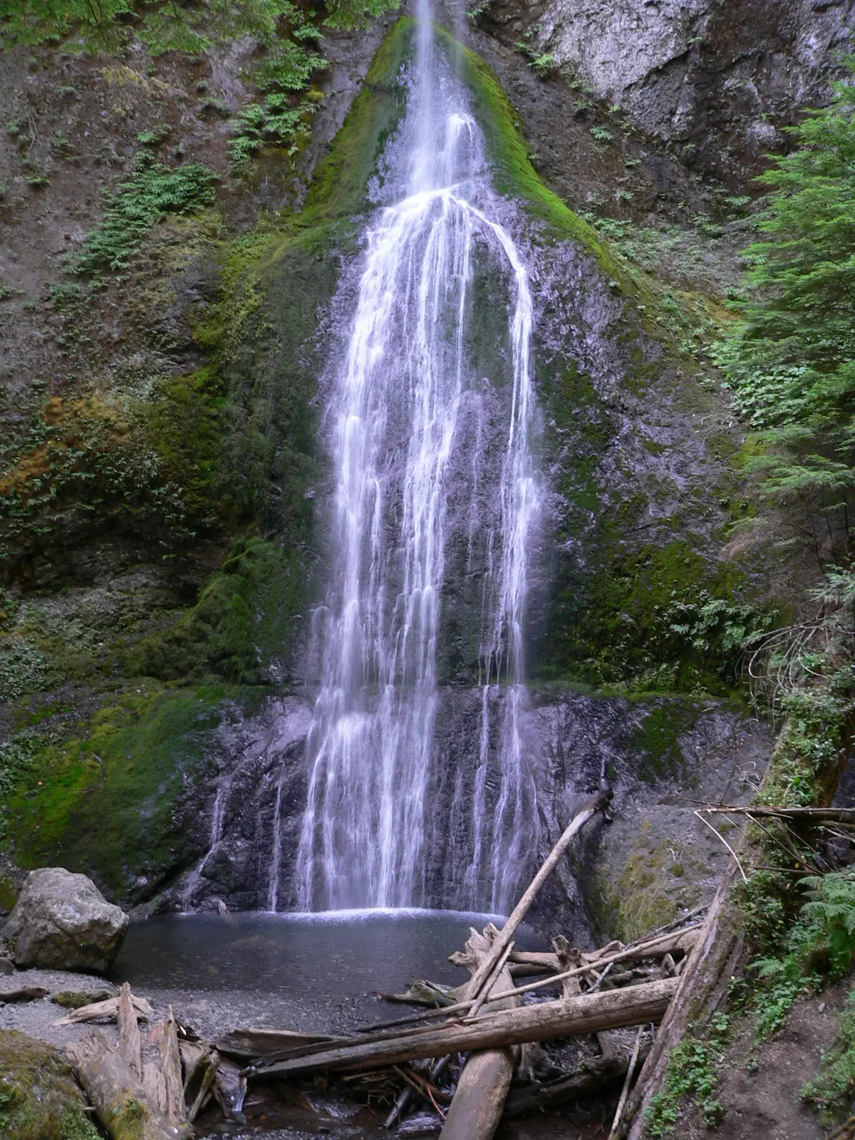
Olympic's description stresses range: nearly a million acres, glacier-capped mountains, temperate rain forest, and more than 70 miles of wild coastline. Two published falls are inside the boundary. Marymere is 0.9 miles one way, also stated as 1.8 miles round trip, with 267 reviews. The trip notes say it flows year-round and is strongest from fall through spring. Sol Duc is 1.1 miles one way, 101 reviews, and the trail file gives a difficulty code (SAC T1) without a season.
The park charges $30 per vehicle for seven days and $15 for someone without a vehicle. No timed-entry rule showed up on the fee page we checked. Wilderness camping permits are a different system and are not required by anything stored for these two day hikes.
The falls on our maps
Marymere's distance is stored as the round trip because the source gives both numbers. Sol Duc stays one way.
Marymere Falls
Clallam County, Washington · nearest listed town Port Angeles (17 miles in a straight line)
- Trail
- Marymere Falls Nature Trail
- Distance
- 0.9 mile one way (1.8 miles round trip) (round trip)
- Difficulty
- Easy, with stairs up to the upper and lower viewpoints at the falls
- Reviews
- 267 · 4.8 stars
- Flow timing
- Year-round; flow is strongest during the wet season from fall through spring
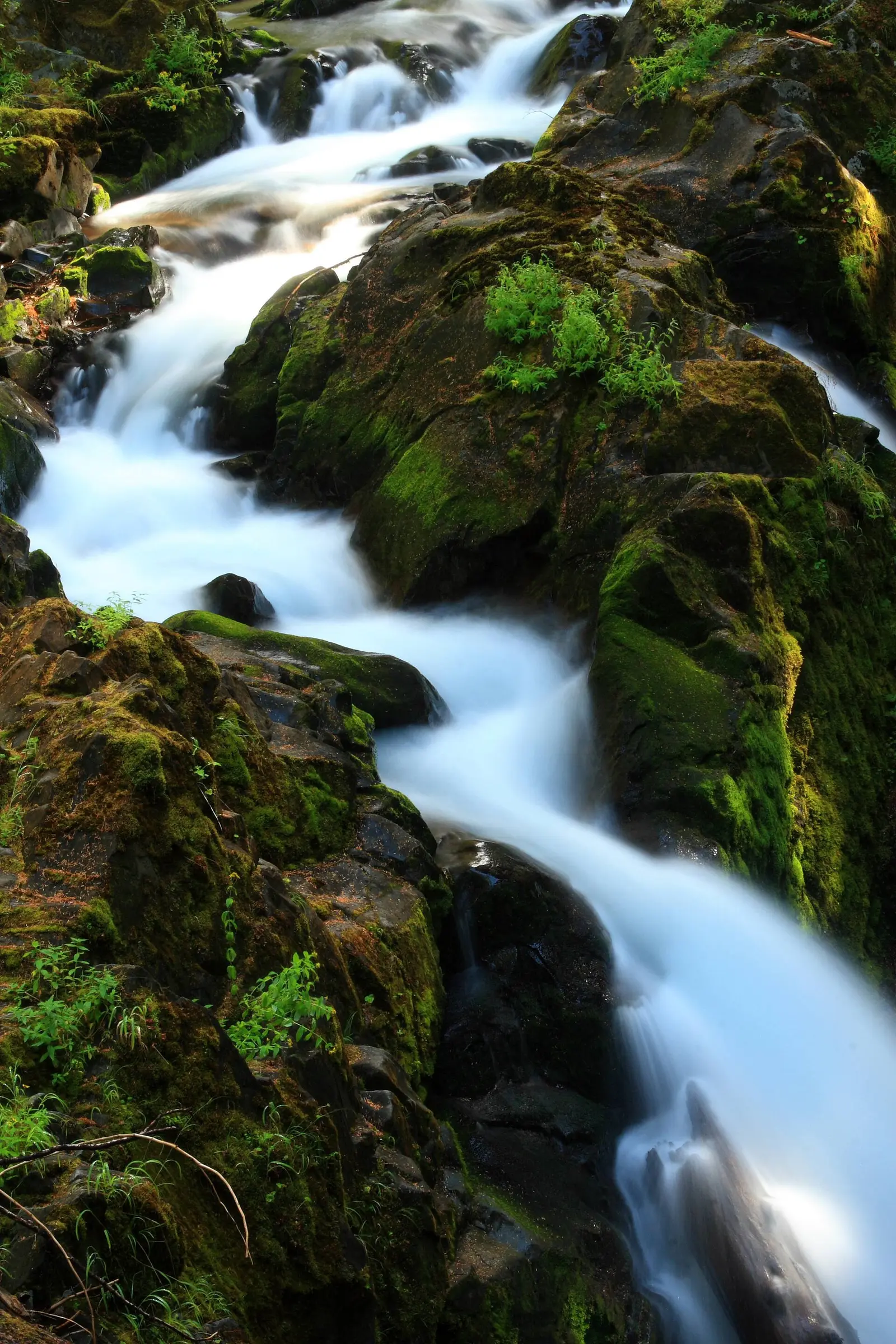
Sol Duc Falls
Clallam County, Washington · nearest listed town Port Angeles (21 miles in a straight line)
- Trail
- Sol Duc Falls Nature Trail
- Distance
- 1.1 miles one way (one way)
- Difficulty
- SAC T1 hiking
- Reviews
- 101 · 4.8 stars
Slong the Sol Duc River, 4.3 km (2.7 mi) SE of Sol Duc Hot Springs and 5/9 km (3.4 mi) NW of Bogachiel Peak.
Side by side
The flow note exists for Marymere only. It is not copied onto Sol Duc.
| Waterfall | Distance | Elevation | Difficulty | USGS drop | Reviews | Flow note |
|---|---|---|---|---|---|---|
| Marymere Falls | 0.9 mile one way (1.8 miles round trip) | — | Easy, with stairs up to the upper and lower viewpoints at the falls | — | 267 | Year-round; flow is strongest during the wet season from fall through spring |
| Sol Duc Falls | 1.1 miles one way | — | SAC T1 hiking | — | 101 | — |
A dash means that field is not in the USGS gazetteer text, the trail file, or the hand-checked trip notes for that fall. It is not a claim that the number is zero.
Effort against attention
Marymere Falls has more reviews (267) and a stated round trip of 1.8 miles. Sol Duc Falls has 101 reviews and 1.1 miles one way. Comparing reviews per mile across a round trip and a one-way walk flatters the one-way number. Both are short. Marymere is the one called easy, with stairs at the viewpoints. Sol Duc's trail file says SAC T1, which is a classification, not a sentence about families.
- Marymere Falls: 267 reviews ÷ 1.8 miles = 148 reviews per published mile (round trip).
- Sol Duc Falls: 101 reviews ÷ 1.1 miles = 92 reviews per published mile (one way).
Seeing more than one
A single easy hike with a full sentence behind it is Marymere: 1.8 miles round trip, strongest from fall through spring, runnable year-round. Sol Duc is a separate 1.1-mile one-way walk. USGS places Sol Duc Falls along the Sol Duc River, southeast of Sol Duc Hot Springs. That is a different drainage from Marymere at Lake Crescent. They are not chained.
Two days means one valley each, not a combined mileage. The straight-line order is Marymere Falls, Sol Duc Falls. Adding the published figures gives 2.9 miles, mixing a round trip and a one-way distance, which is why the total is labeled as a sum of published lengths and not as a single route.
When the nearest gauge runs high
ELWHA RIVER AT MCDONALD BR NEAR PORT ANGELES, WA (USGS 12045500) sits 9.5 miles from Marymere Falls. Across 2019–2024 the mean daily flow was highest in January (2,850 cfs) and lowest in September (439 cfs). The peninsula's west side is much wetter than a gauge in the rain shadow. Marymere's own season note, fall through spring, is the better timing line for that fall. The gauge is context for the river it actually measures.
| Jan | Feb | Mar | Apr | May | Jun | Jul | Aug | Sep | Oct | Nov | Dec |
|---|---|---|---|---|---|---|---|---|---|---|---|
| 2,850 | 1,448 | 988 | 1,104 | 1,782 | 1,747 | 919 | 460 | 439 | 890 | 1,828 | 1,972 |
Fees, passes, and entry rules
A standard seven-day vehicle pass. No timed entry turned up on the fee page.
- Private vehicle
- $30 for seven consecutive days, vehicles with 15 or fewer seats. The pass covers the occupants.
- On foot or bicycle
- $15 for seven days. People 15 and younger are free on this rate.
- Motorcycle
- $25 for seven days.
Getting there
The fee page points wilderness camping, filming, and lodging to a permits page. Day hikes to these two falls are covered by the entrance pass in the trip notes. Marymere's notes describe stairs up to the upper and lower viewpoints.
What this park warns about
Marymere is called easy, with stairs. No separate hazard about the water is stored. Sol Duc has a short one-way distance and a SAC T1 tag and nothing further. The park's general warning that weather can differ by 10 to 20 degrees between the coast and the high country is the climate note, and it matters if the two days are in different valleys.
Small things the official pages mention
- Marymere flows year-round and is strongest from fall through spring. (NPS Marymere Falls)
- Vehicle entrance is $30 for seven days. (NPS fees)
Towns our directory files these falls under
Both falls are filed under Port Angeles. Sol Duc Hot Springs, named in the USGS sentence for Sol Duc Falls, is the more specific landmark than the city.
- Port Angeles, WA — 2 of these falls, closest about 17 miles in a straight line
Photographs
How this page was built
Marymere uses the round trip embedded in the distance text. Sol Duc stays one way, and the reviews-per-mile comparison says so. The season sentence is not copied from one fall to the other. Straight-line order is not offered as a driving route.
Sources
- NPS administrative boundaries
- Olympic National Park
- NPS: Olympic fees
- NPS: Marymere Falls trailhead
- NPS: day hiking at Olympic
- OpenStreetMap contributors (way 270185990)
- OpenStreetMap contributors (way 60429396)
- USGS 12045500 ELWHA RIVER AT MCDONALD BR NEAR PORT ANGELES, WA
- File:Marymere Falls.jpg
- File:Sol Duc Falls Olympic National Park.jpg
- File:Madisoncreekfalls.jpg