
NPS places the park in northern Colorado, a bit over 415 square miles, from montane meadows up to alpine tundra. Seven published falls sit inside the boundary. The hike lengths we have run from Copeland's 0.6-mile round trip to Cascade Falls at 3.5 miles one way, which the same sentence also states as 7 miles round trip. The table stores the round trip when both are written down.
Reviews total 516. Adams Falls, on the west side near Grand Lake, has the most, at 172. Bridal Veil Falls and Chasm Falls have reviews and no distance, so they sit in the table and out of the ratio.
The falls on our maps
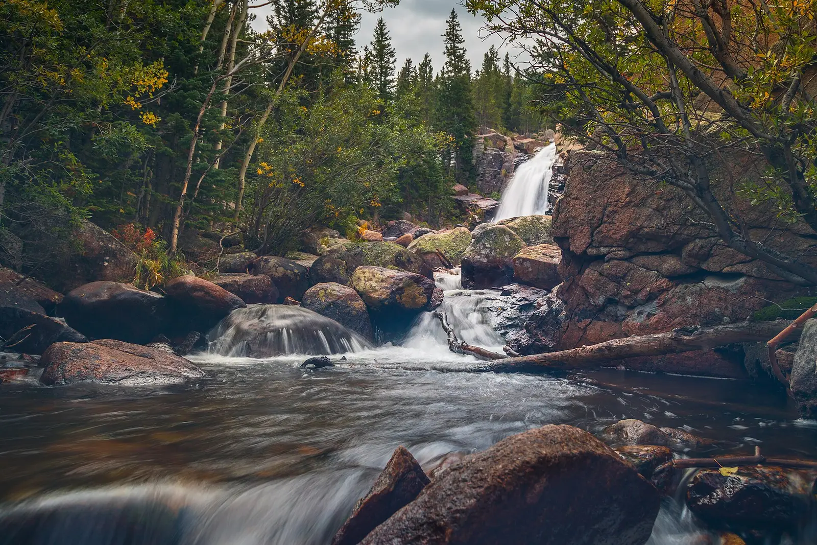
Alberta Falls is the Bear Lake Road hike. The trip notes start it at Glacier Gorge Junction. Adams Falls is the west-side walk. Timed entry does not treat those trailheads the same way.
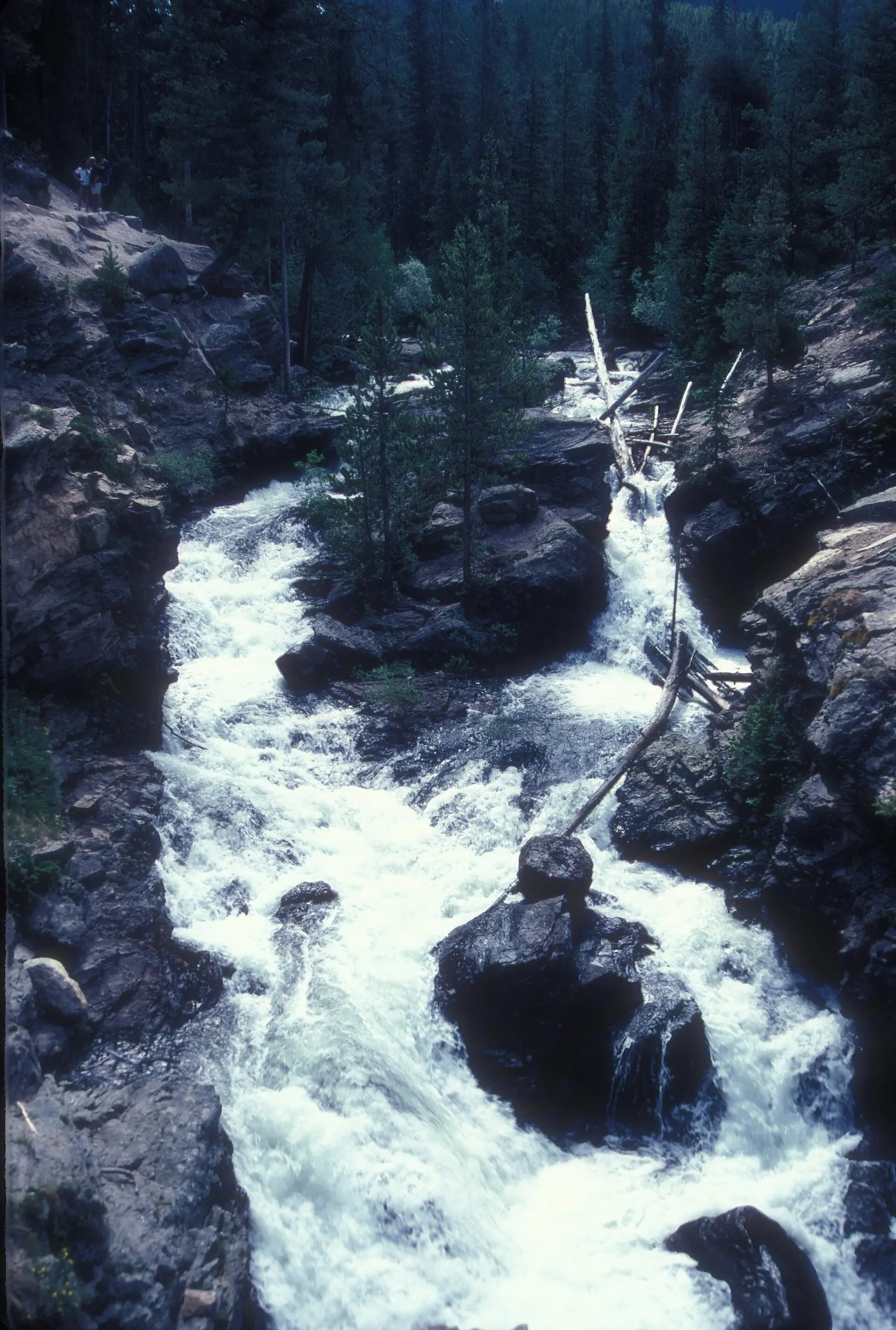
Adams Falls
Grand County, Colorado · nearest listed town Granby (13 miles in a straight line)
- Trail
- Adams Falls Loop
- Distance
- About 3/4 mile round trip (round trip)
- Elevation
- About 150 feet
- Difficulty
- Easy
- Reviews
- 172 · 4.8 stars
Alberta Falls
Larimer County, Colorado · nearest listed town Estes Park (8.0 miles in a straight line)
- Distance
- 0.8 mile one way (1.6 miles round trip) (round trip)
- Elevation
- 160 feet
- Reviews
- 73 · 4.8 stars
Bridal Veil Falls
Larimer County, Colorado · nearest listed town Estes Park (4.3 miles in a straight line)
- Trail
- Bridal Veil Falls Trail
- Reviews
- 32 · 4.9 stars
Cascade Falls
Grand County, Colorado · nearest listed town Estes Park (15 miles in a straight line)
- Trail
- North Inlet Trail
- Distance
- 3.5 miles one way (7 miles round trip) (round trip)
- Elevation
- 300 feet
- Reviews
- 26 · 4.7 stars
Chasm Falls
Larimer County, Colorado · nearest listed town Estes Park (8.4 miles in a straight line)
- Reviews
- 40 · 4.9 stars
Copeland Falls
Boulder County, Colorado · nearest listed town Estes Park (12 miles in a straight line)
- Distance
- 0.6 mile round trip (round trip)
- Elevation
- 15 feet
- Difficulty
- Easy (NPS)
- Reviews
- 35 · 4.6 stars
Ouzel Falls
Boulder County, Colorado · nearest listed town Estes Park (13 miles in a straight line)
- Trail
- Ouzel Falls Viewpoint
- Distance
- 2.7 miles one way (5.4 miles round trip) (round trip)
- Elevation
- 950 feet
- Reviews
- 138 · 4.9 stars
Side by side
Where a source gives both one way and round trip, the distance used for the ratio is the round trip. That is why Ouzel, Alberta, and Cascade do not show up as half-length hikes.
| Waterfall | Distance | Elevation | Difficulty | USGS drop | Reviews | Flow note |
|---|---|---|---|---|---|---|
| Adams Falls | About 3/4 mile round trip | About 150 feet | Easy | — | 172 | — |
| Alberta Falls | 0.8 mile one way (1.6 miles round trip) | 160 feet | — | — | 73 | — |
| Bridal Veil Falls | — | — | — | — | 32 | — |
| Cascade Falls | 3.5 miles one way (7 miles round trip) | 300 feet | — | — | 26 | — |
| Chasm Falls | — | — | — | — | 40 | — |
| Copeland Falls | 0.6 mile round trip | 15 feet | Easy (NPS) | — | 35 | — |
| Ouzel Falls | 2.7 miles one way (5.4 miles round trip) | 950 feet | — | — | 138 | — |
A dash means that field is not in the USGS gazetteer text, the trail file, or the hand-checked trip notes for that fall. It is not a claim that the number is zero.
Effort against attention
Copeland Falls is the small number: 0.6 mile round trip and 15 feet, called easy by NPS. Adams Falls is next, About 3/4 mile round trip and about 150 feet, with 172 reviews, so it leads reviews per mile. Alberta Falls is 0.8 mile one way (1.6 miles round trip) and 160 feet, from Glacier Gorge Junction on Bear Lake Road.
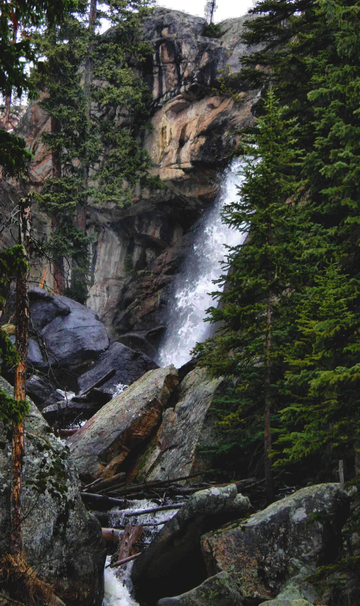
Ouzel Falls is the long Wild Basin hike in this set, 2.7 miles one way (5.4 miles round trip) and 950 feet. Cascade Falls is longer still on the printed round trip, 3.5 miles one way (7 miles round trip) and 300 feet. Chasm Falls has an NPS thing-to-do page and a fee note, and no mileage in the trail file. It is not given a fake distance so it can be ranked.
- Adams Falls: 172 reviews ÷ 0.8 miles = 229 reviews per published mile (round trip).
- Copeland Falls: 35 reviews ÷ 0.6 miles = 58 reviews per published mile (round trip).
- Alberta Falls: 73 reviews ÷ 1.6 miles = 46 reviews per published mile (round trip).
- Ouzel Falls: 138 reviews ÷ 5.4 miles = 26 reviews per published mile (round trip).
- Cascade Falls: 26 reviews ÷ 7.0 miles = 4 reviews per published mile (round trip).
Seeing more than one
A west-side hour is Adams Falls, about three quarters of a mile round trip. A Wild Basin short stop is Copeland, 0.6 miles and 15 feet. Those are the two sourced walks that stay under a mile. They are not the same entrance.
Bear Lake Road is the other day. Alberta Falls starts at Glacier Gorge Junction, and from May 22 through October 18, 2026 the Bear Lake corridor needs a timed-entry reservation between 5 a.m. and 6 p.m. Ouzel Falls is the longer Wild Basin commitment, 5.4 miles round trip. The whole-park timed entry, 9 a.m. to 2 p.m. from May 22 through October 12, 2026, still applies on the west side even though the Bear Lake reservation does not. The straight-line order is Bridal Veil Falls, Chasm Falls, Alberta Falls, Cascade Falls, Adams Falls, Ouzel Falls, Copeland Falls. Counted hike miles, using round trips where both were published, total 15.4 miles. Missing distances: Bridal Veil Falls, Chasm Falls.
When the nearest gauge runs high
THE LOCH OUTLET - LOCH VALE (USGS 401733105392404) sits 1.1 miles from Alberta Falls. Across 2019–2024 the mean daily flow was highest in June (25 cfs) and lowest in January (0 cfs). Snow stays on trails here into summer according to the pattern at similar Front Range parks, but this page does not borrow that sentence. The months below are the gauge, and only the gauge.
| Jan | Feb | Mar | Apr | May | Jun | Jul | Aug | Sep | Oct | Nov | Dec |
|---|---|---|---|---|---|---|---|---|---|---|---|
| 0 | 0 | 0 | 1 | 8 | 25 | 17 | 9 | 4 | 2 | 1 | 0 |
Fees, passes, and entry rules
Budget the entrance pass and, in the dates above, the $2 reservation fee. They are different charges.
- Private vehicle
- $30 for one day, or $35 for seven consecutive days. Everyone in the vehicle is covered.
- On foot or bicycle
- $15 for one day, or $20 for seven days.
- Motorcycle
- $25 for one day, or $30 for seven days.
- Non-US residents
- $100 per person age 16 and older, added to the entrance fee, unless admitted with an annual or America the Beautiful pass.
- Timed entry
- From May 22 through October 12, 2026, a timed-entry reservation is required to enter between 9 a.m. and 2 p.m. Bear Lake Road needs its own reservation from 5 a.m. to 6 p.m., May 22 through October 18, 2026. The only charge for the reservation is a non-refundable $2 Recreation.gov fee. Entering outside those hours does not need the reservation.
Getting there
Passes are sold at entrance stations and listed as card only in the trip notes. The reservation is bought on Recreation.gov, not instead of the pass. Arriving before 9 a.m., or after 2 p.m., is the stated way to enter without a timed-entry reservation. Bear Lake Road keeps its own longer window.
What this park warns about
Difficulty words we actually have: Copeland is easy, Adams is a short walk with about 150 feet of gain, and the longer trails carry hundreds of feet. No separate hazard paragraph in the trip file rises above those ratings, so none is invented here.
Small things the official pages mention
- Timed entry for the whole park: May 22–October 12, 2026, 9 a.m. to 2 p.m. Bear Lake Road: May 22–October 18, 2026, 5 a.m. to 6 p.m. Reservation fee $2. (NPS timed entry)
- Alberta Falls is described as starting on Bear Lake Road, so the corridor reservation applies to that hike in those hours. (NPS hiking list)
Towns our directory files these falls under
Adams Falls is filed under Granby. The other six are filed under Estes Park. That split matches the west-side versus east-side trailheads better than a single "nearest town" would.
- Estes Park, CO — 6 of these falls, closest about 4 miles in a straight line
- Granby, CO — 1 of these falls, closest about 13 miles in a straight line
Photographs
How this page was built
Round trip replaces one way when the same sentence contains both. Reviews per mile then uses that round trip. Falls with reviews and no distance are shown in the table and omitted from the ratio. Bear Lake rules are applied only to the hike whose source names Bear Lake Road.
Sources
- NPS administrative boundaries
- Rocky Mountain National Park
- NPS: Rocky Mountain fees
- NPS: timed entry, 2026 dates
- NPS: hiking trails list
- COTREX (Colorado Trail Explorer): Adams Falls
- OpenStreetMap contributors (way 117409897)
- OpenStreetMap contributors (way 1431549666)
- NPS: Hike to Chasm Falls
- NPS: Hike Copeland Falls
- OpenStreetMap contributors (way 65673992)
- USGS 401733105392404 THE LOCH OUTLET - LOCH VALE
- File:Alberta falls (36796418134).jpg
- File:ADAMS FALLS, ROCKY MOUNTAIN NAT'L PARK, COLORADO.jpg
- File:Ouzelfalls.jpg
- File:20120611D40R72 1084 (7377090940).jpg