
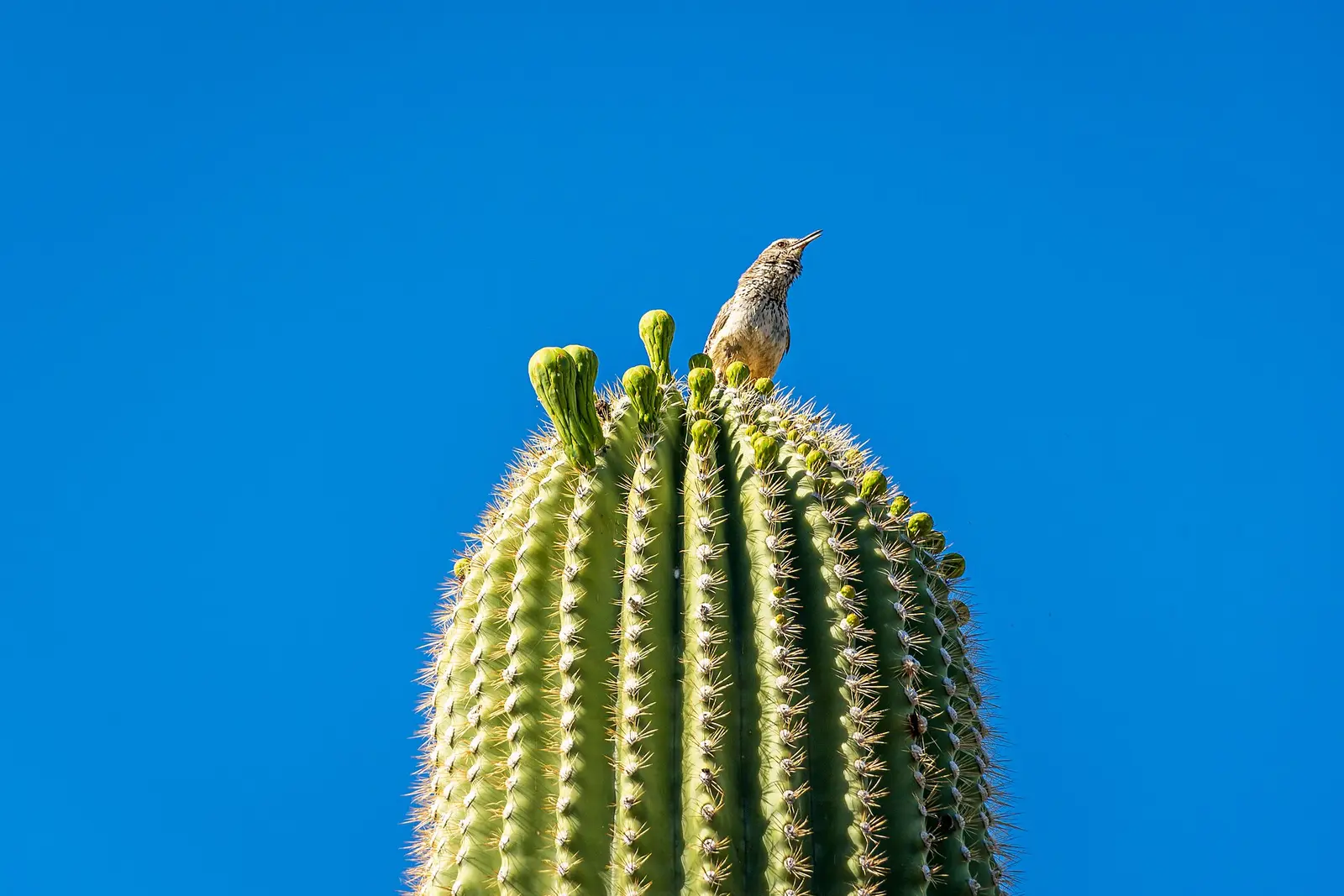
Saguaro National Park is the cactus forest east and west of Tucson. Bridal Wreath Falls has 27 reviews and a trail name in the map file, Bridal Wreath Falls Trail. There is no distance, elevation, difficulty, USGS height, or season sentence. A desert fall is often episodic. Saying so without a source would be a guess, so the season cell stays empty.
The vehicle fee is $25. The fee page describes it as a dated receipt for one private vehicle. Hikers, riders, and cyclists are $15. Motorcycles are $20 for seven days. No timed entry is described on the fee page we used.
The falls on our maps
The trail name is the only trail fact. Everything else in the table is a dash.
Bridal Wreath Falls
Pima County, Arizona · nearest listed town Tanque Verde (5.4 miles in a straight line)
- Trail
- Bridal Wreath Falls Trail
- Reviews
- 27 · 4.7 stars
Side by side
An empty row of measurements is preferable to a borrowed description from a different Bridal Wreath.
| Waterfall | Distance | Elevation | Difficulty | USGS drop | Reviews | Flow note |
|---|---|---|---|---|---|---|
| Bridal Wreath Falls | — | — | — | — | 27 | — |
A dash means that field is not in the USGS gazetteer text, the trail file, or the hand-checked trip notes for that fall. It is not a claim that the number is zero.
Effort against attention
No mileage, so no reviews-per-mile score and no "shortest hike" award. Twenty-seven reviews say the place is known to some visitors and not a major reviewed destination next to Brandywine or Narada. That is the crowd statement the data supports.
Seeing more than one
No one-day mileage and no second fall. The plan that is sourced is the entrance receipt and the setting: a desert park on both sides of Tucson, with this fall filed under Tanque Verde. The Rincon Mountains are the east unit. The trail name is the lead for finding the route on a map, not a length.
When the nearest gauge runs high
RINCON CREEK NEAR TUCSON, AZ. (USGS 09485000) sits 6.9 miles from Bridal Wreath Falls. Across 2019–2024 the mean daily flow was highest in February (17 cfs) and lowest in May (0 cfs). A gauge on Tanque Verde Wash or a similar desert channel spends much of the year near zero and spikes after storms. That pattern is the wash, not a measured flow over Bridal Wreath Falls. The station name and the mileage are there so the difference stays obvious.
| Jan | Feb | Mar | Apr | May | Jun | Jul | Aug | Sep | Oct | Nov | Dec |
|---|---|---|---|---|---|---|---|---|---|---|---|
| 12 | 17 | 13 | 4 | 0 | 0 | 9 | 5 | 2 | 0 | 1 | 2 |
Fees, passes, and entry rules
A modest vehicle fee, sold as a dated receipt. No timed entry on the fee page.
- Private vehicle
- $25. The fee page describes it as a dated receipt for one private, non-commercial vehicle.
- On foot, horse, or bicycle
- $15.
- Motorcycle
- $20 for seven days.
Getting there
The park flanks Tucson. Our directory files this fall under Tanque Verde, which is the east side. The west district is a separate drive. Nothing in the trip file says which district the trailhead is in beyond the coordinate and the town label, so the page does not assign a visitor center.
What this park warns about
The weather page says interpretive programs are intermittent in late spring and summer because of the heat, and that winter is when more ranger programs run. That is a heat calendar for being in the park. It is not a statement that the fall flows in winter. No fall-specific hazard is on file.
Small things the official pages mention
- Vehicle entrance is $25, described as a dated receipt. (NPS fees)
- Summer programs are limited because of heat. That is about being outside, not about waterfall volume. (NPS weather)
Towns our directory files these falls under
Tanque Verde is the nearest city in our index, about 5 straight-line miles from the coordinate.
- Tanque Verde, AZ — 1 of these falls, closest about 5 miles in a straight line
Photographs
How this page was built
No season is inferred from the desert setting. No distance is taken from the trail name alone. The heat note is kept in the safety section and explicitly separated from flow. Reviews are the crowd measure, with the small count stated rather than dressed up.
Sources
- NPS administrative boundaries
- Saguaro National Park
- NPS: Saguaro fees
- OpenStreetMap contributors (way 92610233)
- USGS 09485000 RINCON CREEK NEAR TUCSON, AZ.
- File:Cactus at Saguaro National Park West, Arizona, USA 2024-5 5.jpg
- File:Datura, Saguaro National Park (Rincon Mountain District), Arizona (1eaf1351-eb42-4307-b89a-9743ec9187c4).jpg
- File:A large cactus (Carnegiea gigantea) at Saguaro National Park.jpg
- File:Grasslands (32492404775).jpg