
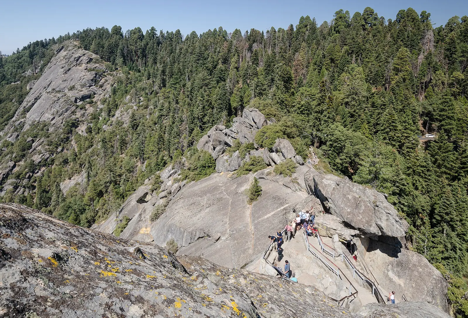
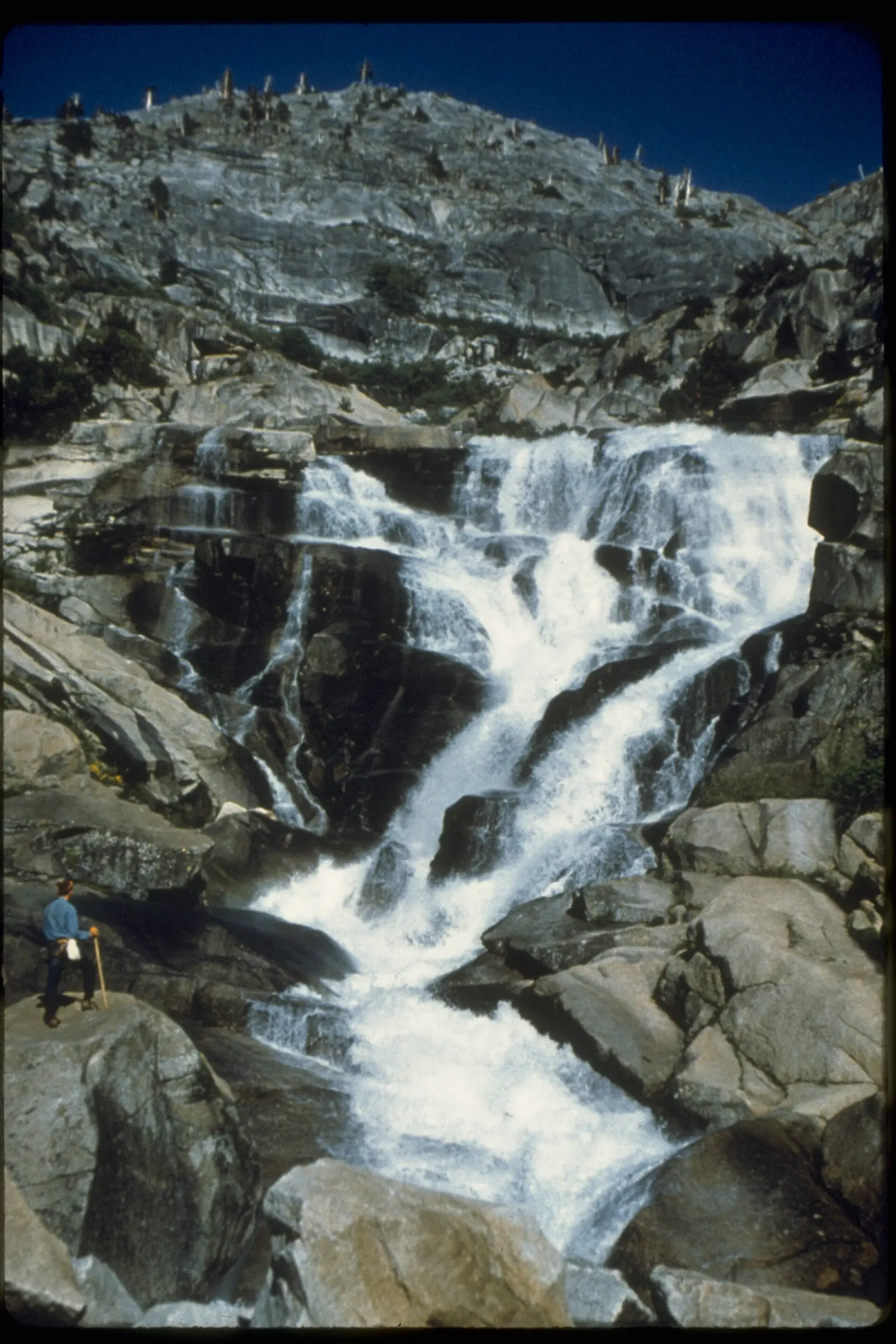
The joint park page with Kings Canyon talks about huge mountains, deep canyons, and the largest trees. Tokopah Falls is the waterfall in our published set: 110 reviews, a USGS description of a 1,200-foot granite drop, and no distance in the trail file. A photograph caption on Wikimedia mentions 1.7 miles. That caption is not moved into the table.
The entrance pass is the same $35, seven-day instrument as Kings Canyon, including the nonresident $100 charge. No reservation is required to enter. The weather page says the foothills can be in spring flower while Giant Forest still has snow, and that Mineral King is usually open to vehicles only from late spring to early fall. Tokopah is on the Marble Fork side of the park, not in Mineral King, so the Mineral King dates are context for the park and not a trailhead calendar for this fall.
The falls on our maps
The height is the sourced fact. The hike length is the gap.
Tokopah Falls
Tulare County, California · nearest listed town Three Rivers (17 miles in a straight line)
- Reviews
- 110 · 4.8 stars
Side by side
Drop is filled. Distance, elevation, and difficulty are dashes.
| Waterfall | Distance | Elevation | Difficulty | USGS drop | Reviews | Flow note |
|---|---|---|---|---|---|---|
| Tokopah Falls | — | — | — | — | 110 | — |
A dash means that field is not in the USGS gazetteer text, the trail file, or the hand-checked trip notes for that fall. It is not a claim that the number is zero.
Effort against attention
Reviews per mile is undefined without miles. 110 reviews say the fall is written about. They do not say how long the walk is. No "easy" or "family" label is attached, because the trail file does not support one.
Seeing more than one
A day plan with a mileage would invent the approach. The sourced plan is the entrance rule and the season of the rivers: no reservation to drive in, and rivers that are extremely hazardous in spring and early summer when snowmelt is high. A second day inside this park is not available from a second published fall. Kings Canyon's two falls can share the same pass and are a different park's page.
When the nearest gauge runs high
MARBLE FORK KAWEAH R AB HORSE C NR LODGEPOLE CA (USGS 11206820) sits 0.6 miles from Tokopah Falls. Across 2019–2024 the mean daily flow was highest in June (100 cfs) and lowest in October (1 cfs). The Marble Fork of the Kaweah is the creek in the USGS description of the area around Tokopah. A gauge on that fork is meaningful. A gauge on a different fork should be read by its station name, which is printed above the months.
| Jan | Feb | Mar | Apr | May | Jun | Jul | Aug | Sep | Oct | Nov | Dec |
|---|---|---|---|---|---|---|---|---|---|---|---|
| 7 | 9 | 10 | 40 | 91 | 100 | 64 | 14 | 2 | 1 | 2 | 5 |
Fees, passes, and entry rules
Same pass as Kings Canyon, including the nonresident surcharge, and no entrance reservation.
- Private vehicle
- $35 for one to seven days, shared with Kings Canyon National Park and the Hume Lake District.
- On foot or bicycle
- $20 per person for one to seven days.
- Motorcycle
- $30 for seven days.
- Non-US residents
- $100 per person age 16 and older, added to the entrance fee, unless admitted with an annual or America the Beautiful pass.
- Reservation
- No reservation is required to enter. Winter storms can close roads until they are plowed. The weather page says Mineral King and Cedar Grove are usually open to vehicles from late spring to early fall.
Getting there
Winter storms close roads until they are plowed. The basic-information page says the parks are otherwise open all day, all year. Giant Forest and the foothills can be in different seasons on the same afternoon, which matters for what "spring" means on the way to the trailhead.
What this park warns about
Rivers in the parks are called extremely hazardous in spring and early summer because of cold, fast snowmelt. That is the waterfall-relevant warning on the basic-information page. There is no separate Tokopah hazard sentence in the trip file.
Small things the official pages mention
- USGS: a 1,200-foot drop over granite in Sequoia National Park. (Waterfall page, USGS text)
- No entrance reservation. Rivers are most dangerous in spring and early summer. (NPS basic information)
Towns our directory files these falls under
Three Rivers is the nearest city in our index, about 17 straight-line miles away. Three Rivers is the gateway town for the Kaweah drainage in that index.
- Three Rivers, CA — 1 of these falls, closest about 17 miles in a straight line
Photographs
How this page was built
Height is taken from the USGS gazetteer sentence, not from a photo caption that also mentions 1.7 miles. The missing hike length stays missing. The shared pass with Kings Canyon is stated once, as a fee fact, not as a combined itinerary.
Sources
- NPS administrative boundaries
- Sequoia National Park
- NPS: Sequoia and Kings Canyon fees
- NPS: Sequoia and Kings Canyon basic information
- NPS: Sequoia and Kings Canyon weather
- USGS 11206820 MARBLE FORK KAWEAH R AB HORSE C NR LODGEPOLE CA
- File:Stairs on Moro Rock with People 2013.jpg
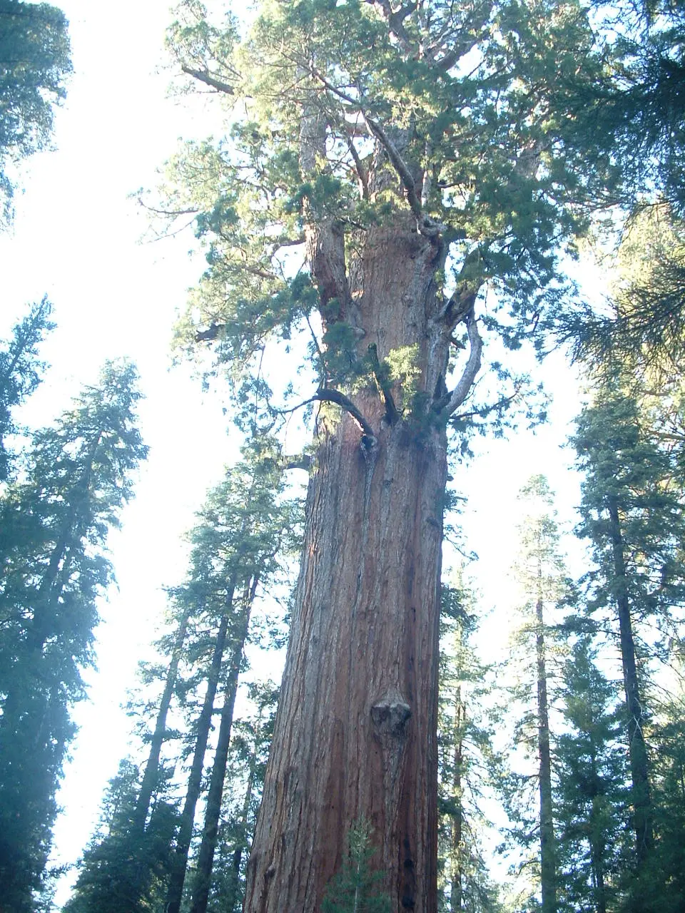
- File:General Sherman Tree, Sequoia National Park.JPG
- File:Tokopah Falls, Sequoia and Kings Canyon National Parks SEKI4542.jpg