
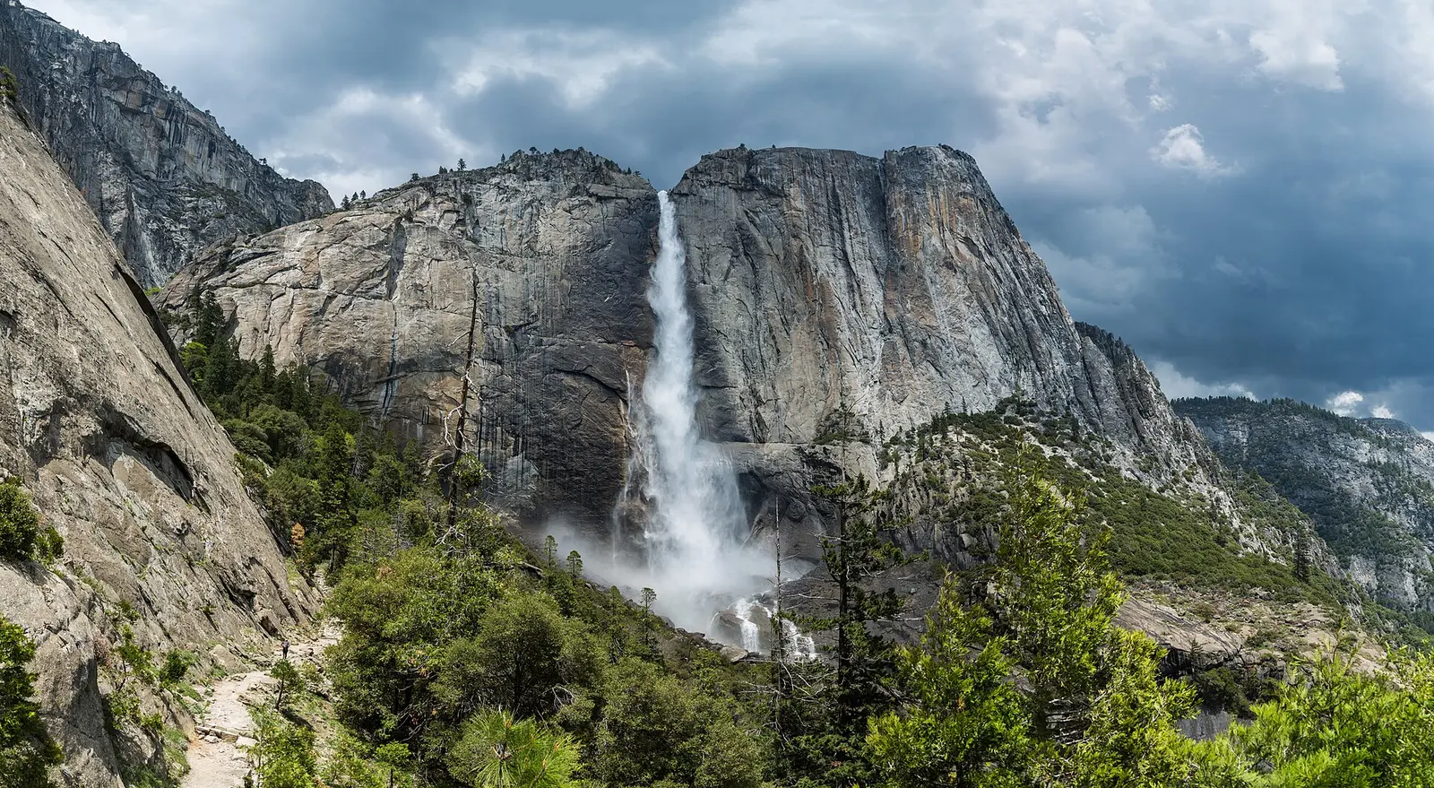
The park's own description says Yosemite was first protected in 1864, covers nearly 1,200 square miles, and is best known for its waterfalls, with the strongest showing in spring when most of the snowmelt occurs. That sentence is about the valley walls. The twelve names on this page are not all valley walls. USGS places Bridalveil, Yosemite Falls, and Vernal and Nevada on the Merced side of the valley, Chilnualna at Wawona, Wapama and Tueeulala at Hetch Hetchy, Le Conte on the Tuolumne, and Pywiack on Tenaya Creek.
Google reviews on these pages total 1,276. Bridalveil Fall alone has 379 and Vernal Fall has 321. Le Conte Falls, Pywiack Cascade, and Tueeulala Falls together have fewer than 15. A trip planned from popularity never leaves the valley. A trip planned from the gazetteer does.
The falls on our maps
Each link goes to the waterfall page we already publish. Trail rows appear only when the trail file or a cited NPS page states them. Yosemite Falls is stored as a one-way distance, so it is not doubled here.
Bridalveil Fall
Mariposa County, California · nearest listed town Yosemite Valley (4.1 miles in a straight line)
- Distance
- 0.5 mile round trip (round trip)
- Elevation
- About 80 feet
- Difficulty
- Easy
- Drop
- 620 ft in the USGS gazetteer text
- Reviews
- 379 · 4.8 stars
- Flow timing
- Spring and early summer for peak flow and heavy spray; flows year-round with a lighter, windswept look later in the year
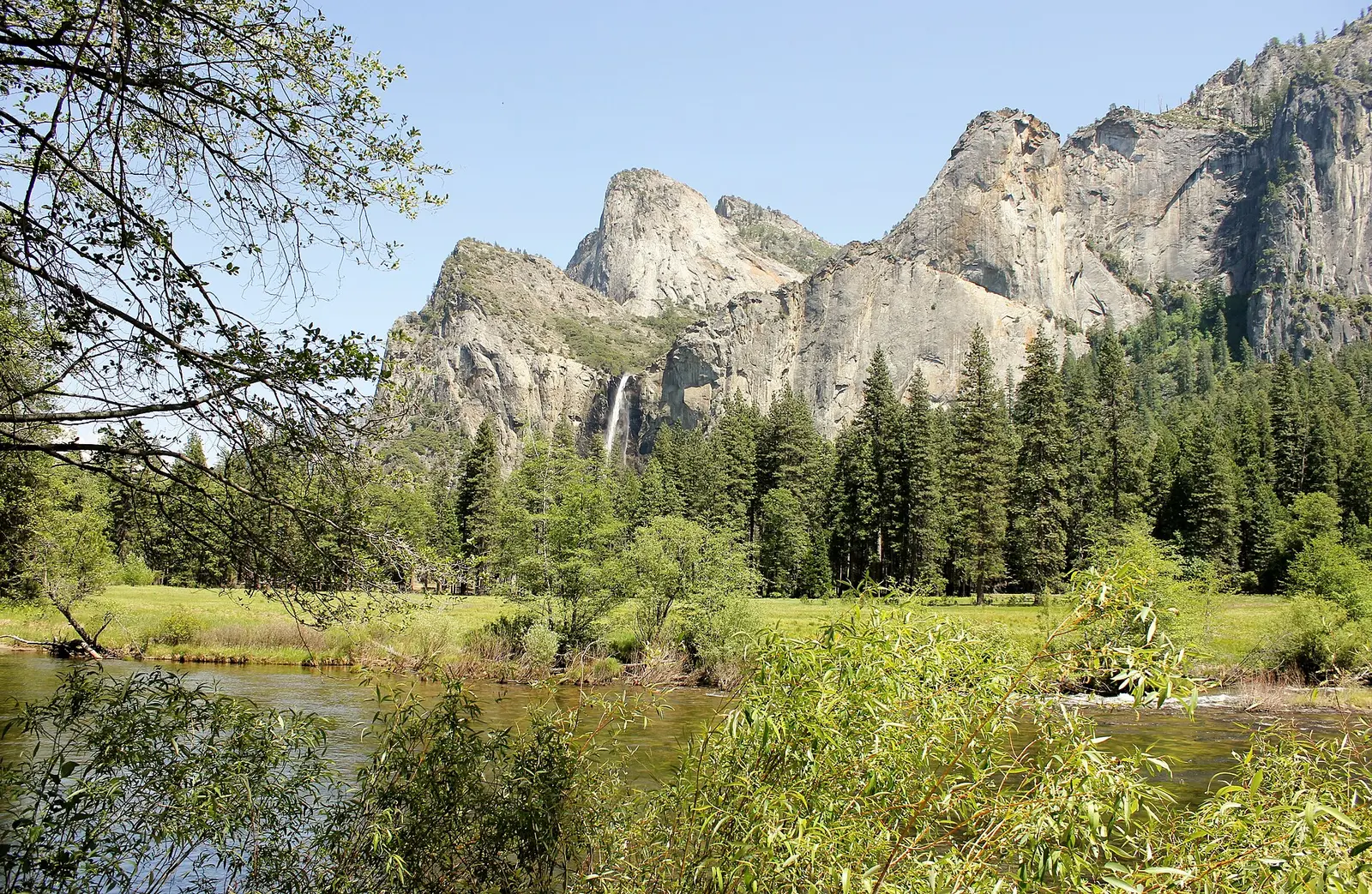
In Yosemite National Park, 620 ft plunge over the south wall of Yosemite Valley on Bridalveil Creek between the north slope of Leaning Tower and the southwest slope of Cathedral Rocks. (US-T121)
Chilnualna Fall
Mariposa County, California · nearest listed town Yosemite Valley (12 miles in a straight line)
- Trail
- Chilnualna Falls Trail
- Distance
- 3.9 miles one way (one way)
- Reviews
- 32 · 4.8 stars
In Yosemite National Park, on the Chilnualna Creek, 0.8 km (0.5 mi) north of Wawona Dome and 3.2 km (2 mi) east of the settlement of Wawona. (US-T121)
Le Conte Falls
Tuolumne County, California · nearest listed town Yosemite Valley (14 miles in a straight line)
- Reviews
- 3 · 5.0 stars
In Yosemite National Park, on the Tuolumne River, just above mile marker 140, on the north slope of Falls Ridge. (US-T121)
Lower Yosemite Fall
Mariposa County, California · nearest listed town Yosemite Valley (1.3 miles in a straight line)
- Reviews
- 79 · 4.9 stars
Nevada Fall
Mariposa County, California · nearest listed town Yosemite Valley (2.6 miles in a straight line)
- Reviews
- 120 · 4.9 stars
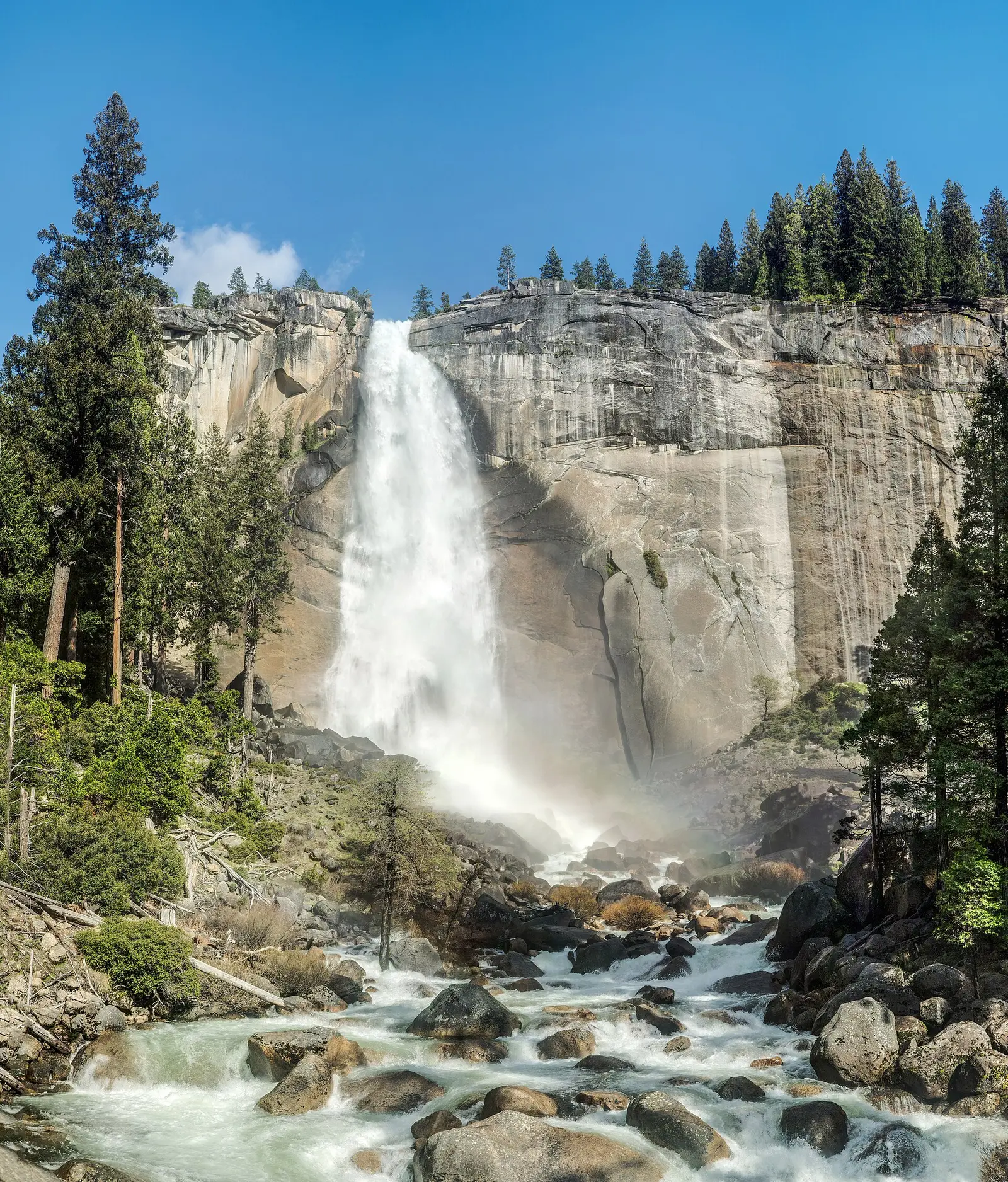
In Yosemite National Park, on the Merced River just west of mile marker 132 in Little Yosemite Valley and at the base of Liberty Cap. (US-T121)
Pywiack Cascade
Mariposa County, California · nearest listed town Yosemite Valley (5.8 miles in a straight line)
In Yosemite National Park, on the Tenaya Creek in Tenaya Canyon, 2.1 km (1.3 mi) north of Clouds Rest, 2.6 km (1.6 mi) west-southwest of Mount Watkins, and 2.7 km (1.7 mi) south of Olmstead Peak. (US-T121)
Tueeulala Falls
Tuolumne County, California · nearest listed town Yosemite Valley (19 miles in a straight line)
- Reviews
- 5 · 4.2 stars
On an unnamed stream flowing into the Hetch Hetchy Reservoir, 7.2 km (4.5 mi) southeast of Lake Eleanor and 11.3 km (7 mi) northeast of Mather. Name applied incorrectly on 1992 U.S. Geological Survey (USGS) topographic map.
Vernal Fall
Mariposa County, California · nearest listed town Yosemite Valley (1.9 miles in a straight line)
- Trail
- Mist Trail
- Distance
- 2.4 miles round trip (round trip)
- Elevation
- About 1,000 feet to the top of Vernal Fall
- Difficulty
- Moderate to strenuous: steep granite stairs, wet and slippery in high spray
- Reviews
- 321 · 4.9 stars
- Flow timing
- Late spring and early summer for full Mist Trail spray; winter ice can close or make stairs hazardous
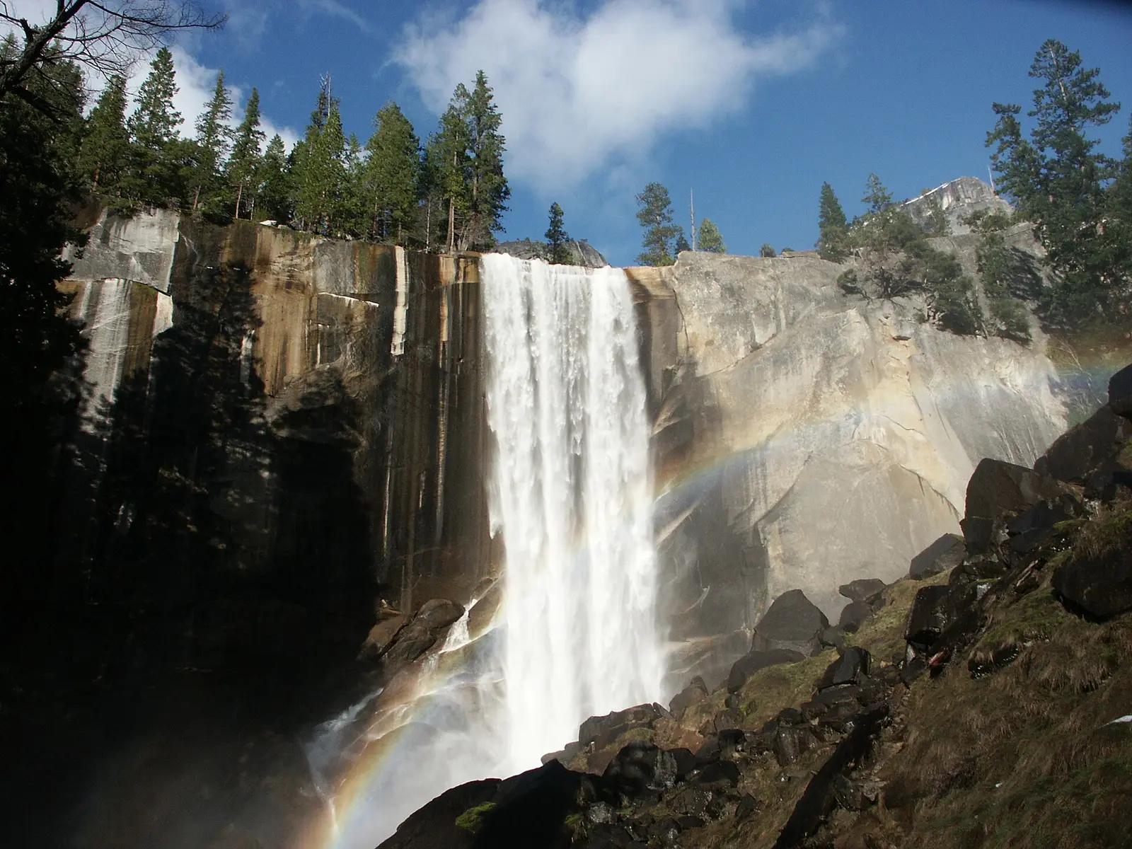
In Yosemite National Park, just east of mile marker 131 on the Merced River and just west of Emeral Pool. (US-T121)
Wapama Falls
Tuolumne County, California · nearest listed town Yosemite Valley (19 miles in a straight line)
- Reviews
- 62 · 4.6 stars
In Yosemite National Park, 0.48 km (0.3 mi) north of the mouth of Falls Creek at Hetch Hetchy Reservoir. (US-T121)
Wildcat Falls
Mariposa County, California · nearest listed town Yosemite Valley (7.7 miles in a straight line)
- Reviews
- 28 · 4.9 stars
In Yosimite National Park, 0.48 km (0.3 mi) northwest of the mouth of Wildcat Creek and 0.8 mi) northwest of Elephant Rock. (US-T121)
Yosemite Falls
Mariposa County, California · nearest listed town Yosemite Valley (1.5 miles in a straight line)
- Trail
- Upper Yosemite Fall Trail
- Distance
- 3.2 miles one way (one way)
- Reviews
- 140 · 4.8 stars
In Yosemite National Park, plunges down the north wall of Yosemite Valley to its floor in two falls, the greater being nearly 1300 feet, total drop over 1600 feet. (US-T121)
Horsetail Fall
Mariposa County, California · nearest listed town Yosemite Valley (2.9 miles in a straight line)
- Reviews
- 107 · 4.8 stars
Side by side
Read the distance column before comparing rows. A one-way figure and a round trip are both printed the way the source wrote them.
| Waterfall | Distance | Elevation | Difficulty | USGS drop | Reviews | Flow note |
|---|---|---|---|---|---|---|
| Bridalveil Fall | 0.5 mile round trip | About 80 feet | Easy | 620 ft | 379 | Spring and early summer for peak flow and heavy spray; flows year-round with a lighter, windswept look later in the year |
| Chilnualna Fall | 3.9 miles one way | — | — | — | 32 | — |
| Le Conte Falls | — | — | — | — | 3 | — |
| Lower Yosemite Fall | — | — | — | — | 79 | — |
| Nevada Fall | — | — | — | — | 120 | — |
| Pywiack Cascade | — | — | — | — | — | — |
| Tueeulala Falls | — | — | — | — | 5 | — |
| Vernal Fall | 2.4 miles round trip | About 1,000 feet to the top of Vernal Fall | Moderate to strenuous: steep granite stairs, wet and slippery in high spray | — | 321 | Late spring and early summer for full Mist Trail spray; winter ice can close or make stairs hazardous |
| Wapama Falls | — | — | — | — | 62 | — |
| Wildcat Falls | — | — | — | — | 28 | — |
| Yosemite Falls | 3.2 miles one way | — | — | — | 140 | — |
| Horsetail Fall | — | — | — | — | 107 | — |
A dash means that field is not in the USGS gazetteer text, the trail file, or the hand-checked trip notes for that fall. It is not a claim that the number is zero.
Effort against attention
Bridalveil Fall leads the reviews-per-mile list because the sourced walk is only 0.5 mile round trip with about 80 feet of gain, against 379 reviews. Vernal Fall is the other valley hike with a full set of numbers: 2.4 miles round trip and about 1,000 feet to the top, on granite stairs the trip notes call wet in high spray. That is a different day from standing at Bridalveil.
Yosemite Falls has 140 reviews and a sourced distance of 3.2 miles one way. The ratio uses 3.2 miles, not 6.4, because the trail file does not state the return. Chilnualna Fall is the long Wawona number, 3.9 miles one way, with 32 reviews, so it falls to the bottom of the ratio even though the walk is the one that gets you out of the valley. Nevada Fall has 120 reviews and no distance in the trail file, so it is left out of the ratio. The NPS page that covers Vernal is titled for both falls. That tells you Nevada is on the same route. It does not give a mileage we can put in the table.
- Bridalveil Fall: 379 reviews ÷ 0.5 miles = 758 reviews per published mile (round trip).
- Vernal Fall: 321 reviews ÷ 2.4 miles = 134 reviews per published mile (round trip).
- Yosemite Falls: 140 reviews ÷ 3.2 miles = 44 reviews per published mile (one way).
- Chilnualna Fall: 32 reviews ÷ 3.9 miles = 8 reviews per published mile (one way).
Seeing more than one
One valley day that stays inside sourced distances is Bridalveil (0.5 mile round trip, about 80 feet) and Vernal (2.4 miles round trip, about 1,000 feet). Both are in the valley. They are not the same trailhead, and this page does not invent a drive time between them. If the day has room for a third name, Nevada is the continuation on the NPS Vernal and Nevada page, without a separate mileage in our files.
A second day is the Yosemite Falls trail at 3.2 miles one way, again without doubling. Wawona's Chilnualna trail, 3.9 miles one way, does not belong on either valley day. Hetch Hetchy (Wapama and Tueeulala) is a different basin in the gazetteer, and the fee page lists a Hetch Hetchy entrance of its own. The straight-line order of all twelve coordinates, starting at the north end, is Wapama Falls, Tueeulala Falls, Wildcat Falls, Bridalveil Fall, Horsetail Fall, Lower Yosemite Fall, Yosemite Falls, Vernal Fall, Nevada Fall, Pywiack Cascade, Le Conte Falls, Chilnualna Fall. That order is a coordinate chain, not a road itinerary. The summed hike lengths we can defend are 10 miles, and 8 falls have no sourced distance so they are not in that sum: Le Conte Falls, Lower Yosemite Fall, Nevada Fall, Pywiack Cascade, Tueeulala Falls, Wapama Falls, Wildcat Falls, Horsetail Fall.
When the nearest gauge runs high
MERCED R A HAPPY ISLES BRIDGE NR YOSEMITE CA (USGS 11264500) is 0.7 miles from Vernal Fall. From 2019 through 2024 its mean daily discharge peaked in May at 1,376 cubic feet per second and was lowest in September at 36. Happy Isles measures the Merced under the valley falls. It does not measure Chilnualna Creek or Falls Creek at Hetch Hetchy. Use the May peak as a valley snowmelt clock, and keep the spring sentence on the park homepage next to it: most of the snowmelt, and the best waterfall show, is in spring.
| Jan | Feb | Mar | Apr | May | Jun | Jul | Aug | Sep | Oct | Nov | Dec |
|---|---|---|---|---|---|---|---|---|---|---|---|
| 96 | 114 | 190 | 740 | 1,376 | 1,185 | 515 | 115 | 36 | 36 | 40 | 58 |
Fees, passes, and entry rules
Yosemite is one of the parks whose 2026 fee page adds a separate charge for non-US residents and, in the same season, dropped the timed reservation.
- Private vehicle
- $35 for seven consecutive days. The fee page says this covers the vehicle and everyone in it, and that per-person nonresident fees still apply.
- On foot, bike, or horse
- $20 per person for seven days. People 15 and younger are free on this rate.
- Motorcycle
- $30 for seven days, up to two private motorcycles and four people.
- Non-US residents
- $100 per person age 16 and older, on top of the standard entrance fee, unless the visitor is admitted with an annual or America the Beautiful pass.
- Pass
- America the Beautiful annual passes cover the entrance fee. They do not cover a reservation fee if one is in place.
- Timed entry
- The park said on February 18, 2026 that it will not use a timed reservation system in 2026.
Getting there
Entrances named on the fee page for in-person passes include South Entrance, Arch Rock, Big Oak Flat, Hetch Hetchy, and Tioga. Those stations are listed as credit and debit only. Buying the pass before arrival is the park's suggestion for skipping the line, not a requirement.
What this park warns about
Vernal Fall is the fall with a sourced hazard note: the trip file calls the Mist Trail moderate to strenuous, with steep granite stairs that are wet and slippery in high spray, and it says winter ice can close the stairs or make them hazardous. That warning is not copied onto Bridalveil, whose notes call the half-mile walk easy with about 80 feet of gain. Do not treat one as the other.
Small things the official pages mention
- The park homepage says the best time to see waterfalls is spring, when most of the snowmelt occurs. (NPS Yosemite homepage)
- Bridalveil's trip notes say flow is strongest in spring and early summer and that the fall still runs later, lighter and more windswept. (NPS Bridalveil Fall)
- As of the February 18, 2026 update, a season-wide reservation is not being used in 2026. (NPS reservations)
Towns our directory files these falls under
Every one of these twelve falls is filed under Yosemite Valley in our town index, including the ones USGS places at Wawona and Hetch Hetchy. The town label is the nearest place of 1,000 people in our city file, not the trailhead.
- Yosemite Valley, CA — 12 of these falls, closest about 1 miles in a straight line
Photographs
How this page was built
Reviews per mile uses the published distance as written. One-way miles are not doubled. Nevada Fall is excluded from the ratio because it has reviews and no distance. The see-them total adds only sourced hike lengths and does not pretend the basins connect. The gauge is the Merced at Happy Isles, cited above, for 2019–2024 mean daily discharge.
Sources
- NPS administrative boundaries
- Yosemite National Park
- NPS: Yosemite fees
- NPS: Yosemite reservations, updated February 18, 2026
- NPS: Bridalveil Fall
- NPS: Vernal and Nevada trail
- NPS: Bridalveil Fall Viewing Area
- OpenStreetMap contributors (way 163901701)
- OpenStreetMap contributors (way 162322353)
- USGS 11264500 MERCED R A HAPPY ISLES BRIDGE NR YOSEMITE CA
- File:Yosemite Falls from trail, Yosemite NP, CA, US - Diliff.jpg
- File:Bridalveil Fall - Yosemite National Park 2012-05-28.jpg
- File:Yosemite N.P., Vernal Falls Rainbow.jpg
- File:Nevada Fall, Yosemite NP, CA, US - Diliff.jpg