
Linn County, Oregon
Waterfalls Near Lyons, OR
Lyons has 31 named waterfalls within 30 miles, 17 of them inside 10 miles. Stasel Falls is the closest at 2.5 miles to the north. South Falls earns the best visitor rating nearby (5.0 stars from 86 Google reviews). Most of the falls are north of Lyons.
Distances are straight-line from the town center. Driving routes are longer.
Best Waterfalls Near Lyons at a Glance

6 Waterfall Guides Near Lyons
-
Shellburg Falls
4.2 (93 reviews)Shellburg Falls is the closest named waterfall to Lyons, 2.6 miles to the north in Marion County. It ranks 2nd for review count among waterfalls near Lyons.
- Rating
- 4.2 (93 Google reviews)
-
South Falls
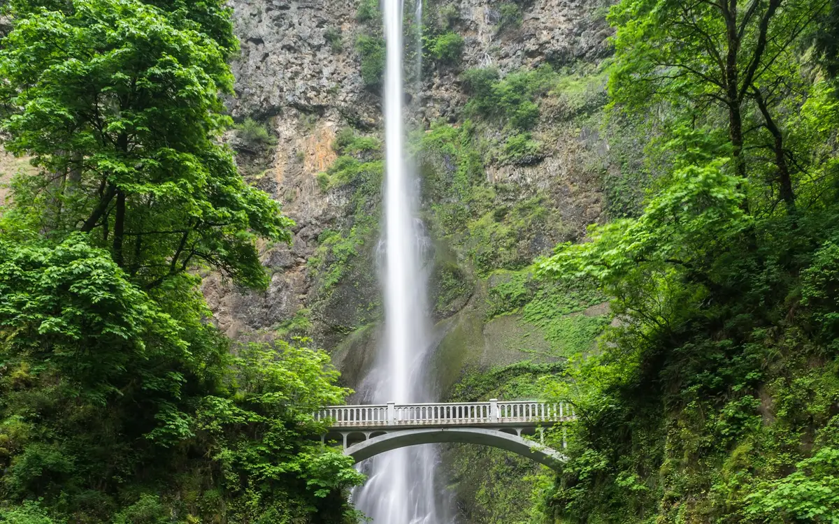
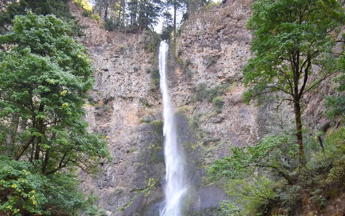
5.0 (86 reviews)South Falls lies 7.5 miles north of Lyons in Marion County, number 2 of 6 by distance. It ranks 3rd for review count among waterfalls near Lyons. Waterfall surrounded by forest, tumbling over an overhanging rocky ledge into a pool.
- Height
- about 177 ft (USGS)
- Rating
- 5.0 (86 Google reviews)
-
North Falls
4.9 (49 reviews)North Falls lies 7.6 miles north of Lyons in Marion County, number 3 of 6 by distance. It ranks 5th for review count among waterfalls near Lyons. USGS notes: The falls has a vertical drop of 136 feet.
- Height
- about 136 ft (USGS)
- Rating
- 4.9 (49 Google reviews)
-
Abiqua Falls
4.8 (280 reviews)Abiqua Falls lies 11 miles north of Lyons in Marion County, number 4 of 6 by distance. It draws more Google reviews than any other waterfall near Lyons.
- Rating
- 4.8 (280 Google reviews)
-
Butte Creek Falls
4.5 (64 reviews)Butte Creek Falls lies 11 miles northeast of Lyons in Marion County, number 5 of 6 by distance. It ranks 4th for review count among waterfalls near Lyons.
- Rating
- 4.5 (64 Google reviews)
-
Salmon Falls
4.1 (25 reviews)Salmon Falls lies 13 miles east of Lyons in Marion County, number 6 of 6 by distance. It ranks 6th for review count among waterfalls near Lyons. Its own nearest town is Mill City.
- Rating
- 4.1 (25 Google reviews)
- Known for
- generations, swimming, bathroom
Other named falls recorded near Lyons
These 12 falls are in the official record but do not have a separate guide yet. The coordinates are the mapped position, not a trailhead.
| Name | County | Nearest town | Coordinates |
|---|---|---|---|
| Ayers Creek Falls | Marion | Lyons, OR | 44.81184, -122.58839 |
| Double Falls | Marion | Lyons, OR | 44.89204, -122.64501 |
| Drake Falls | Marion | Lyons, OR | 44.88959, -122.64579 |
| Horseshoe Falls | Marion | Lyons, OR | 44.81025, -122.58660 |
| Lower North Falls | Marion | Lyons, OR | 44.89172, -122.64677 |
| Lower Shellburg Falls | Marion | Lyons, OR | 44.81022, -122.60831 |
| Middle North Falls | Marion | Lyons, OR | 44.88875, -122.64299 |
| Stasel Falls | Marion | Lyons, OR | 44.80867, -122.60057 |
| Stout Creek Falls | Marion | Lyons, OR | 44.81389, -122.57389 |
| Twin Falls | Marion | Lyons, OR | 44.88518, -122.63711 |
| Upper North Falls | Marion | Lyons, OR | 44.88324, -122.61420 |
| Winter Falls | Marion | Lyons, OR | 44.88442, -122.64093 |
Where the Waterfalls Are
Lyons sits in or near the Central Cascades and Willamette Foothills area of Oregon. Along the western slope of the Cascades, rivers drain toward the Willamette Valley through forested canyons rich in falls. Silver Falls State Park in Marion County contains a celebrated series, including South Falls and North Falls, which USGS records at 177 and 136 feet. Abiqua Falls in Marion County drops into a basalt amphitheater. On the McKenzie River in Linn County, Sahalie and Koosah falls pour over young lava flows, and Salt Creek Falls in Lane County plunges 286 feet near Willamette Pass. East of the crest, Tumalo Falls drops about 97 feet in the Deschutes National Forest near Bend. Read the Oregon waterfall guide.
By direction from Lyons: 15 to the north, 5 to the northeast, 4 to the south, 3 to the east, 3 to the southeast, and 1 to the northwest. They are spread across Marion County (22), Linn County (7), and Clackamas County (2). The average distance is 12.3 miles.
By Distance
Within 10 miles of Lyons
Stasel Falls (2.5 mi), Lower Shellburg Falls (2.5 mi), Shellburg Falls (2.6 mi), Horseshoe Falls (2.8 mi), Ayers Creek Falls (2.9 mi), Stout Creek Falls (3.4 mi), Upper North Falls (7.5 mi), South Falls (7.5 mi), North Falls (7.6 mi), Winter Falls (7.7 mi), Twin Falls (7.7 mi), Lower South Falls (8.0 mi), Middle North Falls (8.0 mi), Drake Falls (8.1 mi), Lower North Falls (8.2 mi), Double Falls (8.2 mi), Drift Creek Falls (9.7 mi)
10 to 20 miles of Lyons
Abiqua Falls (11 mi), Butte Creek Falls (11 mi), Salmon Falls (13 mi), Fall Creek Falls (14 mi), Henline Falls (14 mi), Painter Falls (17 mi), Sullivan Creek Falls (18 mi), Cascade Falls (18 mi)
20 to 30 miles of Lyons
Pegleg Falls (25 mi), Upper Soda Falls (26 mi), McNabb Falls (26 mi), Lower Soda Falls (26 mi), Moose Creek Falls (27 mi), Rainbow Falls (28 mi)
Waterfalls Near Lyons: FAQs
How many waterfalls are near Lyons, OR?
31 named waterfalls lie within 30 miles of Lyons: 17 within 10 miles, 8 10 to 20 miles, 6 20 to 30 miles. Distances are straight-line from the town center. Falls with their own page are the ones with visitor ratings or a written record; the others are named in the list below.
What is the closest waterfall to Lyons?
Stasel Falls in Marion County is the closest, about 2.5 miles north of Lyons.
What is the best-rated waterfall near Lyons?
South Falls has the highest Google rating among nearby falls with at least 10 reviews: 5.0 stars from 86 Google reviews. The most reviewed is Abiqua Falls.
Which counties are the waterfalls near Lyons in?
Marion County (22), Linn County (7), and Clackamas County (2).
How does Lyons compare with other Oregon towns?
Lyons ranks 7th of the 75 Oregon towns in our directory for the number of waterfalls within 30 miles.