

Page County, Virginia
Waterfalls Near Stanley, VA
18 named waterfalls lie within 30 miles of Stanley, 8 of them inside 10 miles. Lewis Spring Falls is the closest at 4.8 miles to the southeast. Lower Whiteoak Falls earns the best visitor rating nearby (4.9 stars from 38 Google reviews).
Distances are straight-line from the town center. Driving routes are longer.
Best Waterfalls Near Stanley at a Glance
8 Waterfall Guides Near Stanley
-
Dark Hollow Falls
4.7 (159 reviews)Dark Hollow Falls is the closest named waterfall to Stanley, 5.8 miles to the southeast in Madison County. It draws more Google reviews than any other waterfall near Stanley. Picturesque series of cascading waterfalls over greenstone, accessible by a moderate 1.4-mi. hike.
- Rating
- 4.7 (159 Google reviews)
-
Rose River Falls
4.9 (33 reviews)Rose River Falls lies 5.9 miles southeast of Stanley in Madison County, number 2 of 8 by distance. It ranks 5th for review count among waterfalls near Stanley.
- Rating
- 4.9 (33 Google reviews)
-
Upper Whiteoak Falls
4.9 (25 reviews)Upper Whiteoak Falls lies 7.5 miles east of Stanley in Page County, number 3 of 8 by distance. It ranks 6th for review count among waterfalls near Stanley.
- Rating
- 4.9 (25 Google reviews)
-
Lower Whiteoak Falls
4.9 (38 reviews)Lower Whiteoak Falls lies 8.2 miles east of Stanley in Page County, number 4 of 8 by distance. It ranks 4th for review count among waterfalls near Stanley.
- Rating
- 4.9 (38 Google reviews)
-
South River Falls
4.7 (47 reviews)South River Falls lies 14 miles south of Stanley in Greene County, number 5 of 8 by distance. It ranks 2nd for review count among waterfalls near Stanley. Its own nearest town is Stanardsville.
- Rating
- 4.7 (47 Google reviews)
-
Overall Run Falls
4.6 (46 reviews)Overall Run Falls lies 18 miles northeast of Stanley in Rappahannock County, number 6 of 8 by distance. It ranks 3rd for review count among waterfalls near Stanley. Scenic hiking trails through lush woods lead to this picturesque cascading waterfall.
- Rating
- 4.6 (46 Google reviews)
-
Miller Falls
Miller Falls lies 21 miles northeast of Stanley in Warren County, number 7 of 8 by distance. USGS notes: Approx. 25 feet tall; in Shenandoah National Park, on the NW slope of Mount Marshall, 2.4 mi. SSE of Browntown, 0.9 mi. WSW of Hogwallow Flat.
- Height
- about 25 ft (USGS)
-
Doyles River Falls
4.3 (25 reviews)Doyles River Falls lies 25 miles southwest of Stanley in Rockingham County, number 8 of 8 by distance. It ranks 7th for review count among waterfalls near Stanley. Its own nearest town is Grottoes.
- Rating
- 4.3 (25 Google reviews)
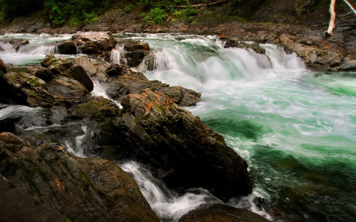
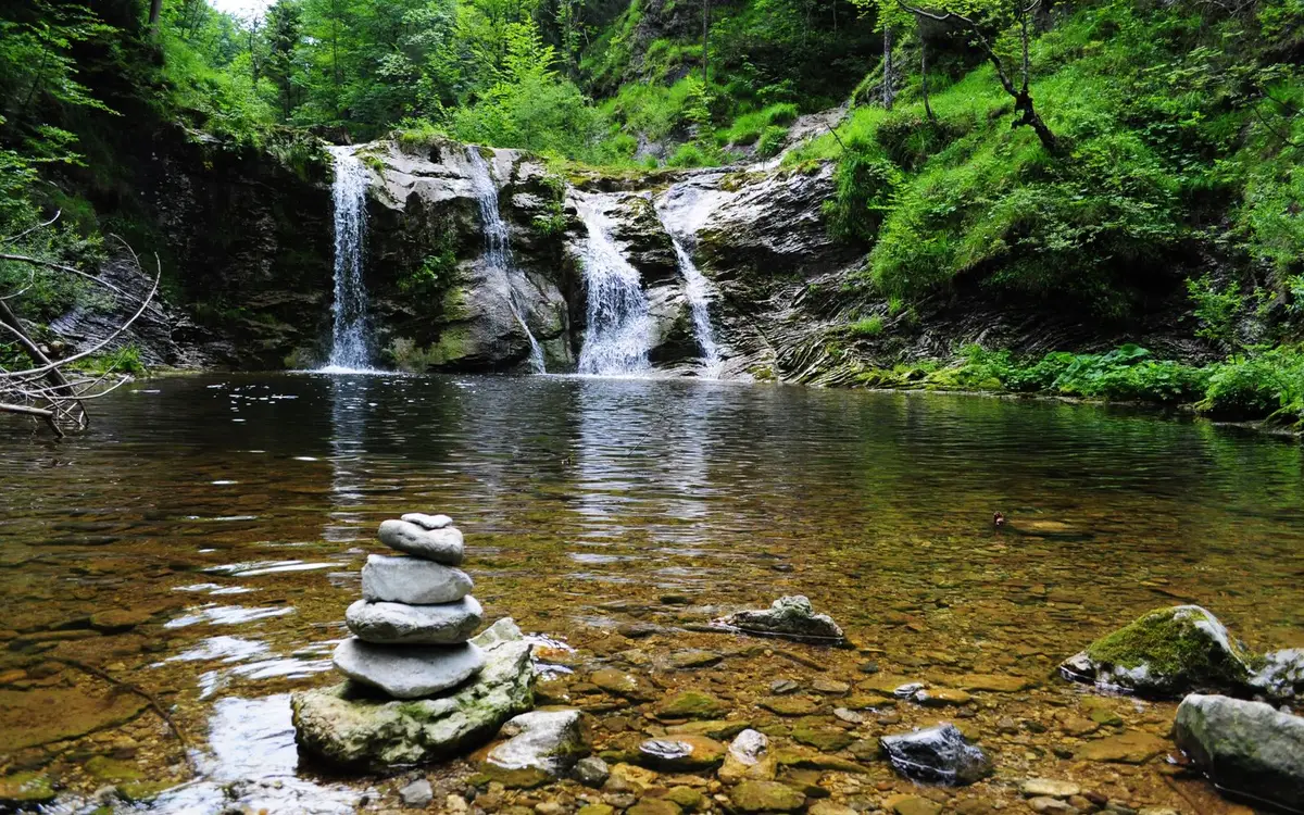
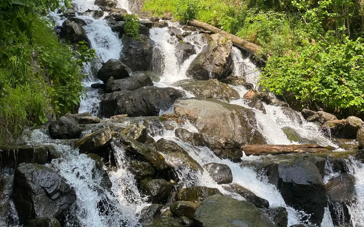
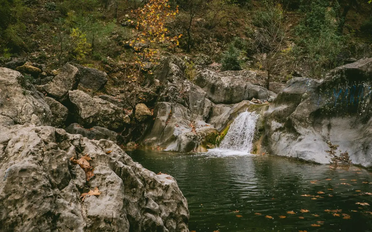
Other named falls recorded near Stanley
These 4 falls are in the official record but do not have a separate guide yet. The coordinates are the mapped position, not a trailhead.
Where the Waterfalls Are
Stanley sits in or near the Shenandoah and the Northern Blue Ridge area of Virginia. Shenandoah National Park covers the crest of the northern Blue Ridge, and dozens of hollows drop steeply from Skyline Drive to the Shenandoah Valley on one side and the Piedmont on the other. Dark Hollow Falls in Madison County cascades over greenstone along a moderate trail of about 1.4 miles, and Lower Whiteoak Falls and Overall Run Falls are among the park's favorites. South River Falls in Greene County and Jones Run Falls are farther south along the Drive. Most of these falls lie below their trailheads, so hikes go downhill first and climb back out on the return. Read the Virginia waterfall guide.
By direction from Stanley: 5 to the southeast, 3 to the northeast, 3 to the east, 3 to the south, 3 to the southwest, and 1 to the north. They are spread across Page County (5), Madison County (4), Rockingham County (4), Warren County (2), Greene County (1), and Rappahannock County (1). The average distance is 13.6 miles.
By Distance
Within 10 miles of Stanley
Lewis Spring Falls (4.8 mi), Dark Hollow Falls (5.8 mi), Rose River Falls (5.9 mi), Big Rock Falls (7.0 mi), Upper Whiteoak Falls (7.5 mi), Cedar Run Falls (8.0 mi), Lower Whiteoak Falls (8.2 mi), Climbing Rose Falls (8.3 mi)
10 to 20 miles of Stanley
Dry Run Falls (12 mi), Cedar Falls (13 mi), South River Falls (14 mi), Goods Falls (15 mi), Overall Run Falls (18 mi), Greasy Falls (19 mi)
20 to 30 miles of Stanley
Miller Falls (21 mi), Doyles River Falls (25 mi), Big Falls (26 mi), Jones Run Falls (26 mi)
Waterfalls Near Stanley: FAQs
How many waterfalls are near Stanley, VA?
18 named waterfalls lie within 30 miles of Stanley: 8 within 10 miles, 6 10 to 20 miles, 4 20 to 30 miles. Distances are straight-line from the town center. Falls with their own page are the ones with visitor ratings or a written record; the others are named in the list below.
What is the closest waterfall to Stanley?
Lewis Spring Falls in Page County is the closest, about 4.8 miles southeast of Stanley.
What is the best-rated waterfall near Stanley?
Lower Whiteoak Falls has the highest Google rating among nearby falls with at least 10 reviews: 4.9 stars from 38 Google reviews. The most reviewed is Dark Hollow Falls.
Which counties are the waterfalls near Stanley in?
Page County (5), Madison County (4), Rockingham County (4), Warren County (2), and Greene County (1).
How does Stanley compare with other Virginia towns?
Stanley ranks 1st of the 29 Virginia towns in our directory for the number of waterfalls within 30 miles.