
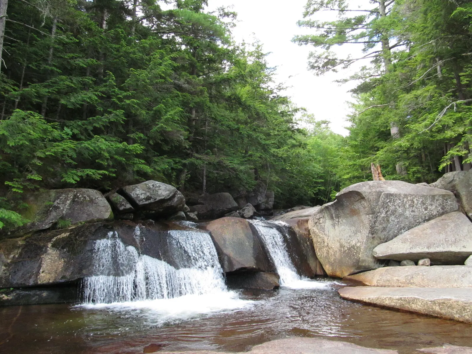

Maine has 117 named waterfalls in the U.S. Geological Survey Geographic Names Information System, the features classified as Falls. That count ranks Maine 7th among the 50 states. The figure comes from the GNIS domestic-names extract in this site, committed 2026-10-02, and this page was published 2026-11-19. The latest feature-edit date stored on these Falls records is December 30, 2020.
National rank and density
Divided by the state's land area of 30,845 square miles, from the U.S. Census Bureau 2024 Gazetteer (ALAND_SQMI, land only, inland water excluded), Maine has 3.79 named falls per 1,000 square miles. That density ranks 5th of the 50 states. The national named total in this extract is 2,514 falls across the 50 states, so Maine holds 4.7 percent of them.
Bordering states, with their named-falls counts: New Hampshire (49).
Where the named falls cluster
Maine's named falls are filed under 11 county equivalents. The largest counts are Piscataquis (32), Oxford (20), and Somerset (13), 65 falls and 55.6 percent of the state total.
The Maine waterfall map plots the same named falls. County names are the labels GNIS recorded. Connecticut's file uses planning regions, Alaska's uses boroughs and census areas, and Louisiana's uses parishes, so the column is not always a traditional county.
| County or equivalent | Named falls | Share | Examples |
|---|---|---|---|
| Piscataquis | 32 | 27.4% | Abol Falls, Ambajejus Falls, Big Ambejackmockamus Falls |
| Oxford | 20 | 17.1% | Aziscohos Falls (historical), Basin Falls, Big Falls |
| Somerset | 13 | 11.1% | Attean Falls, Austin Stream Falls, Caratunk Falls |
| Penobscot | 12 | 10.3% | Bowlin Falls, Gilman Falls, Gordon Falls |
| Aroostook | 11 | 9.4% | Allagash Falls, Boars Head Falls, Fish River Falls |
| Washington | 10 | 8.5% | Big Falls, Dog Falls, Great Falls |
| Cumberland | 6 | 5.1% | Basion Cove Falls, Dundee Falls, Mallison Falls |
| Hancock | 6 | 5.1% | Bagaduce Falls, Goose Falls, Grand Falls |
| Franklin | 5 | 4.3% | Angel Falls, Poplar Stream Falls, Sarampus Falls |
| Androscoggin | 1 | 0.9% | Great Falls |
| York | 1 | 0.9% | Orris Falls |
Why Maine's count looks like this
Maine is seventh, which surprises people who picture a low coastal state. The interior is not low. Piscataquis County, covering the high Katahdin country, holds the most named falls, then Oxford County on the New Hampshire border. The bedrock is old: granite, slate and other metamorphic rock worn into plateaus, then scoured by an ice sheet that covered the whole state.
When the ice left, rivers reoccupied valleys that no longer matched the old drainage, and they still fall off ledges that the ice plucked clean. Rumford Falls is the tall industrial drop on the Androscoggin. Most of the other names are brook falls in spruce woods, a long drive from the coast. Acadia’s published fall, Hadlock, is a coastal-mountain exception, not the center of the count.
Named falls we publish
We publish a full page for 9 of the 117 named falls. A page exists when the fall has at least 25 Google reviews, a sourced trip guide, or at least 200 characters of USGS description or history. The other 108 stay on the state guide as names and coordinates. The Maine state guide also lists 2 other places from Google Maps that are not in the GNIS Falls extract, so the guide's total is 119.
- Smalls Falls (Franklin · 154 Google reviews)
- Angel Falls (Franklin · 128 Google reviews · Angel Falls Trail)
- Screw Auger Falls (Oxford · 106 Google reviews)
- Houston Brook Falls (Somerset · 80 Google reviews)
- Hadlock Falls (Hancock · 33 Google reviews · 1.2 miles one way)
- Little Wilson Falls (Piscataquis · 30 Google reviews · 1.2 miles one way)
- Shin Falls (Penobscot · 30 Google reviews · Shin Falls Trail)
- Rumford Falls (Oxford · 17 Google reviews)
- Pumgustuck (Cumberland)
Tallest falls on the record
The national roundup, the largest waterfalls in the U.S. by state, does not name a single well-documented tallest waterfall for Maine. Separately, the tallest height written into the USGS gazetteer text in our file is Rumford Falls at 176 feet. Most Falls records state no height, so this is not a ranking of the tallest waterfall in the state.
National parks
These national park guides include a published waterfall whose coordinates fall inside the park and inside Maine.
- Acadia National Park (1 published waterfall in Maine: Hadlock Falls)
Trails we can measure
These distances come from the trail notes already attached to the published pages, either a sourced trip guide or an OpenStreetMap path. A blank distance means the map did not give one we were willing to print.
- Angel Falls: Angel Falls Trail
- Hadlock Falls: Hadlock Ponds Trail, 1.2 miles one way
- Little Wilson Falls: Lower Wilson Falls Trail, 1.2 miles one way
- Shin Falls: Shin Falls Trail
When to go in Maine
Mud season and high water arrive together. April and May usually bring the strongest flows and the worst unpaved roads. Higher trails around Katahdin stay snowed in later than the Oxford County swimming holes. By late summer many of the smaller slate ledges are a trickle. Fall color in late September and early October is the dry, pretty window.
How this number was counted
Named falls are records with feature class Falls in the USGS National Map GNIS domestic names, filtered to this state in data/gnis-waterfalls.json. The download script is scripts/prepare-gnis.mjs, pointed at the USGS domestic-names file. Land area is ALAND_SQMI in the Census Bureau 2024 Gazetteer national state file, written by scripts/prepare-state-areas.mjs. Density is named falls divided by land area, times 1,000. The full 50-state ranking, including states with too few named falls for their own page, is Which state has the most waterfalls?.
Frequently asked questions
How many waterfalls are in Maine?
Maine has 117 named waterfalls in the USGS GNIS Falls class, ranking 7th of the 50 states. The extract used here was committed 2026-10-02, and this page was published 2026-11-19.
Which county in Maine has the most named waterfalls?
Piscataquis has the most, with 32 named falls. Oxford is next with 20.
How many Maine waterfalls have a page on this site?
9 of the 117 named falls have a published page. A page requires 25 or more Google reviews, a sourced trip guide, or at least 200 characters of USGS description or history.
When is the best time to see waterfalls in Maine?
Mud season and high water arrive together. April and May usually bring the strongest flows and the worst unpaved roads. Higher trails around Katahdin stay snowed in later than the Oxford County swimming holes. By late summer many of the smaller slate ledges are a trickle. Fall color in late September and early October is the dry, pretty window.
Are Maine’s waterfalls on the coast?
A few are near the coast, including Hadlock Falls in Acadia. The named count is inland. Piscataquis and Oxford counties lead, in the high interior and along the New Hampshire line, not on the Atlantic shore.