
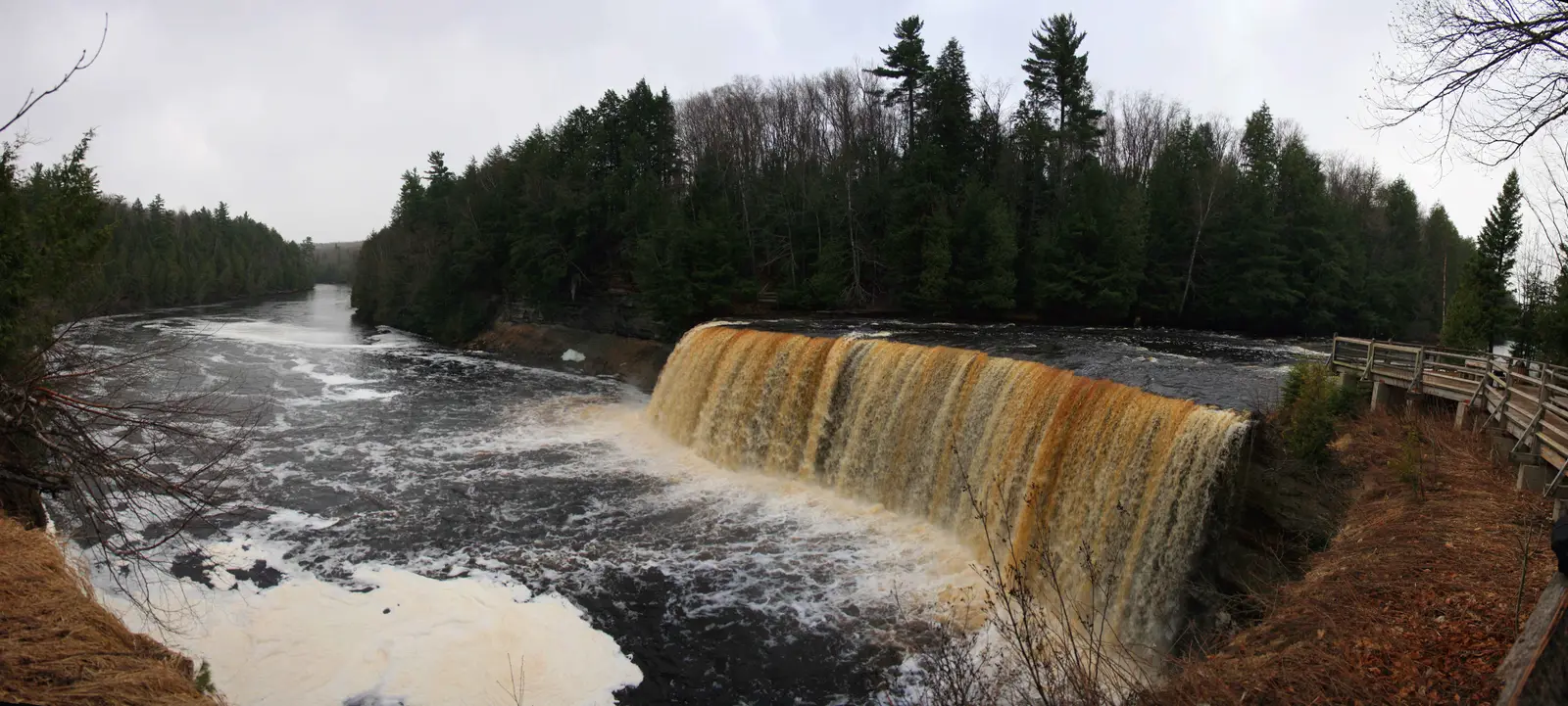

Michigan has 199 named waterfalls in the U.S. Geological Survey Geographic Names Information System, the features classified as Falls. That count ranks Michigan 3rd among the 50 states. The figure comes from the GNIS domestic-names extract in this site, committed 2026-10-02, and this page was published 2026-11-19. The latest feature-edit date stored on these Falls records is December 30, 2020.
National rank and density
Divided by the state's land area of 56,611 square miles, from the U.S. Census Bureau 2024 Gazetteer (ALAND_SQMI, land only, inland water excluded), Michigan has 3.52 named falls per 1,000 square miles. That density ranks 6th of the 50 states. The national named total in this extract is 2,514 falls across the 50 states, so Michigan holds 7.9 percent of them.
Bordering states, with their named-falls counts: Indiana (21); Ohio (18); Wisconsin (48).
Where the named falls cluster
Michigan's named falls are filed under 14 county equivalents. The largest counts are Gogebic (42), Marquette (35), and Baraga (32), 109 falls and 54.8 percent of the state total.
198 of the 199 named falls are in the 15 Upper Peninsula counties (Alger, Baraga, Chippewa, Delta, Dickinson, Gogebic, Houghton, Iron, Keweenaw, Luce, Mackinac, Marquette, Menominee, Ontonagon and Schoolcraft). The named fall outside that set is Ocqueoc Falls in Presque Isle County.
The Michigan waterfall map plots the same named falls. County names are the labels GNIS recorded. Connecticut's file uses planning regions, Alaska's uses boroughs and census areas, and Louisiana's uses parishes, so the column is not always a traditional county.
| County or equivalent | Named falls | Share | Examples |
|---|---|---|---|
| Gogebic | 42 | 21.1% | Abinodji Falls, Ajibikika Falls, Algonquin Falls |
| Marquette | 35 | 17.6% | Alder Falls, Big Garlic River Falls, Big Pup Falls |
| Baraga | 32 | 16.1% | Big Erick's Falls, Big Falls, Black Slate Falls |
| Ontonagon | 21 | 10.6% | Agate Falls, Bonanza Falls, Bond Falls |
| Alger | 20 | 10.1% | Alger Falls, Au Train Falls, Bridalveil Falls |
| Keweenaw | 11 | 5.5% | Copper Falls, Eagle River Falls, Haven Falls |
| Houghton | 10 | 5% | Hogger Falls, Houghton Falls, Hungarian Falls |
| Dickinson | 9 | 4.5% | Ford Dam Falls, Fumee Falls, Horse Race Rapids |
| Iron | 8 | 4% | Chicagon Falls, Chipmunk Falls, Dumpy Falls |
| Delta | 5 | 2.5% | Chandler Falls, Haymeadows Falls, Rapid River Falls |
| Chippewa | 2 | 1% | Lower Falls, Saint Marys Falls |
| Menominee | 2 | 1% | Pemene Falls, Twin Island Rapids |
| Luce | 1 | 0.5% | Upper Falls |
| Presque Isle | 1 | 0.5% | Ocqueoc Falls |
Why Michigan's count looks like this
Michigan’s named falls are an Upper Peninsula inventory. Gogebic, Marquette, Baraga, Ontonagon and Alger counties, on the Canadian Shield, account for most of the list. The rock is old and uneven: basalt, conglomerate, sandstone and other resistant beds that streams have not graded into a smooth profile. Rivers running toward Lake Superior still hit those steps.
The Lower Peninsula was glaciated too, but the bedrock there is younger and softer and the relief is lower, so a stream usually slides instead of dropping. In this extract the Lower Peninsula exception is Ocqueoc Falls in Presque Isle County. Pictured Rocks country around Munising, the Black River harbor falls in Gogebic County, and Bond Falls on the Ontonagon side are the places where that Shield geology is easy to see.
Named falls we publish
We publish a full page for 55 of the 199 named falls. A page exists when the fall has at least 25 Google reviews, a sourced trip guide, or at least 200 characters of USGS description or history. The other 144 stay on the state guide as names and coordinates. The Michigan state guide also lists 1 other place from Google Maps that is not in the GNIS Falls extract, so the guide's total is 200.
- Upper Falls (Luce · 1,223 Google reviews)
- Ocqueoc Falls (Presque Isle · 718 Google reviews)
- Bond Falls (Ontonagon · 685 Google reviews)
- Munising Falls (Alger · 525 Google reviews · 800 feet one way)
- Miners Falls (Alger · 419 Google reviews · 0.6 mile one way)
- Laughing Whitefish Falls (Alger · 297 Google reviews · 0.5 mile one way (1 mile round trip))
- Canyon Falls (Baraga · 275 Google reviews · About 0.5 mile one way)
- Wagner Falls (Alger · 253 Google reviews · Wagner Falls Trail)
- Horseshoe Falls (Alger · 244 Google reviews)
- Scott Falls (Alger · 220 Google reviews)
- Dead River Falls (Marquette · 215 Google reviews · Dead River Falls Trail)
- Sable Falls (Alger · 185 Google reviews)
Those are the 12 published pages with the most Google reviews. The state guide links the rest.
Tallest falls on the record
The national roundup, the largest waterfalls in the U.S. by state, does not name a single well-documented tallest waterfall for Michigan. Separately, the tallest height written into the USGS gazetteer text in our file is Bond Falls at 50 feet, Rainbow Falls at 45 feet, and Potawatomi Falls at 40 feet. Most Falls records state no height, so this is not a ranking of the tallest waterfall in the state.
National parks
None of the national park guides on this site currently include a published waterfall inside Michigan. Named falls here are on other public or private land. The state guide is the place to check access. We do not assign falls to a national forest unless a park boundary in our file contains them.
Trails we can measure
These distances come from the trail notes already attached to the published pages, either a sourced trip guide or an OpenStreetMap path. A blank distance means the map did not give one we were willing to print.
- Munising Falls: Munising Falls Trail, 800 feet one way
- Miners Falls: Miners Falls Trail, 0.6 mile one way
- Laughing Whitefish Falls: Laughing Whitefish Falls State Park Trail, 0.5 mile one way (1 mile round trip)
- Canyon Falls: Canyon Gorge Trail, About 0.5 mile one way
- Wagner Falls: Wagner Falls Trail
- Dead River Falls: Dead River Falls Trail
When to go in Michigan
Upper Peninsula falls are a late-spring sight. Snow holds in the north, and the strongest flows often come in April and May, with black flies arriving as the melt finishes. Larger rivers still run in summer. By winter many of the same drops freeze into ice curtains, and some forest roads are not plowed. The Lake Superior shore stays cool even in July.
How this number was counted
Named falls are records with feature class Falls in the USGS National Map GNIS domestic names, filtered to this state in data/gnis-waterfalls.json. The download script is scripts/prepare-gnis.mjs, pointed at the USGS domestic-names file. Land area is ALAND_SQMI in the Census Bureau 2024 Gazetteer national state file, written by scripts/prepare-state-areas.mjs. Density is named falls divided by land area, times 1,000. The full 50-state ranking, including states with too few named falls for their own page, is Which state has the most waterfalls?.
Frequently asked questions
How many waterfalls are in Michigan?
Michigan has 199 named waterfalls in the USGS GNIS Falls class, ranking 3rd of the 50 states. The extract used here was committed 2026-10-02, and this page was published 2026-11-19.
Which county in Michigan has the most named waterfalls?
Gogebic has the most, with 42 named falls. Marquette is next with 35.
How many Michigan waterfalls have a page on this site?
55 of the 199 named falls have a published page. A page requires 25 or more Google reviews, a sourced trip guide, or at least 200 characters of USGS description or history.
When is the best time to see waterfalls in Michigan?
Upper Peninsula falls are a late-spring sight. Snow holds in the north, and the strongest flows often come in April and May, with black flies arriving as the melt finishes. Larger rivers still run in summer. By winter many of the same drops freeze into ice curtains, and some forest roads are not plowed. The Lake Superior shore stays cool even in July.
Are Michigan’s waterfalls in the Lower Peninsula?
Almost none of the named ones are. The gazetteer places them in Upper Peninsula counties, on old Shield rock above Lake Superior. Ocqueoc Falls in Presque Isle County is the Lower Peninsula name in this extract.