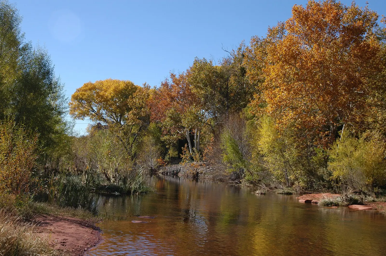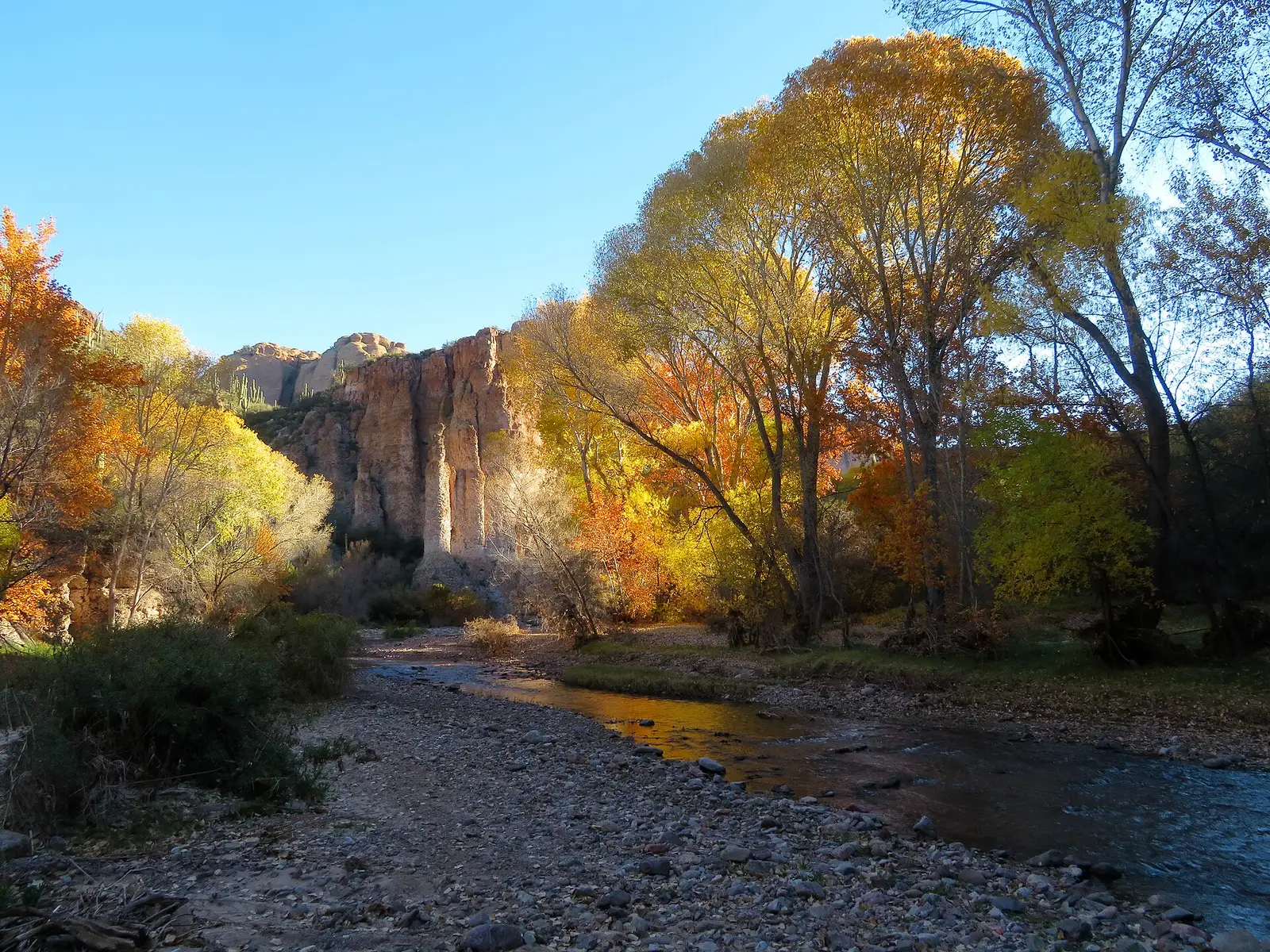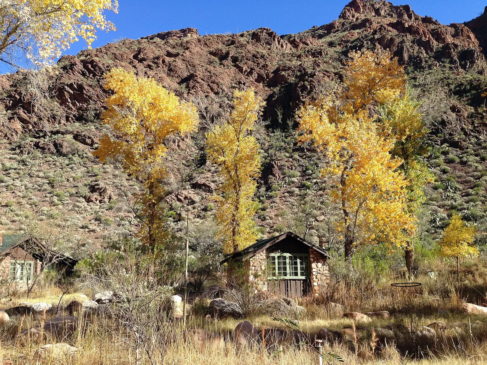
Arizona’s foliage is a high-country event, and the Coconino National Forest says so in the first sentence of its fall page. Color often begins in late September and peaks through October, faster at higher elevations. Flagstaff’s higher trees are often prime in early October, and the show is still worth seeing after that. Mogollon Rim maples run through the fall. Oak Creek Canyon can hold into November. On the San Francisco Peaks, the highest trees typically start in mid-September, the color moves down into Flagstaff at about 7,000 feet, and the show usually ends in late October.
The species list on that page is aspen in yellow, maple in yellow, orange, and red, oak in yellow, orange, and brown, and cottonwood, elm, ash, poplar, and willow in yellow, plus sumac in orange and red. Good reds want warm days and nights around 45 degrees or colder, but not a frost. A hard frost ends it. The low desert is not this page. Havasu Falls is a canyon trip in a different landscape, and this guide will not call it an aspen hike.
Peak timing varies from year to year. A warm fall, an early frost, or a windstorm can move or mute the color, which is why the live report matters more than any calendar.
When color usually arrives
San Francisco Peaks and Flagstaff
Highest elevations typically begin in mid-September. Flagstaff, around 7,000 feet, follows, and the show usually ends in late October. Many trees around Flagstaff are prime in early October. The Inner Basin and Snowbowl Road are the drives the national guide names.
Coconino National Forest fall page. Source: Coconino National Forest, fall colors.
Mogollon Rim and Oak Creek
Rim maples through the fall. Oak Creek Canyon holds well into November. The forest’s suggested rim roads include Forest Road 300. Lockett Meadow was closed to all traffic, including feet and bikes, on the page reviewed for this guide. Check that closure before you aim at the Inner Basin.
Coconino National Forest. Source: Coconino National Forest, fall colors.
Fall foliage map
Esri publishes a public ArcGIS experience called Fall Foliage Viewing. It is embedded here as a map you can pan. It is not the source of the dates on this site. If the embed is blocked or slow, the state reports linked above and below still stand on their own. For Arizona, it opens centered on the state. The center is the middle of the state's bounding box in the U.S. Census Bureau cartographic boundary, 2017 edition. The colored prediction layer in the experience is the Massachusetts Department of Conservation and Recreation forecast published in that app. It is not a forecast for any other state.
Map of waterfalls in Arizona
Larger gold markers are the waterfalls on this page's itinerary. Smaller markers are the other published waterfall pages in Arizona. The outline is the U.S. Census Bureau cartographic boundary for the state (2017, public domain). A marker is the mapped position of the falls, not a trailhead.
Published waterfall page On this foliage trip
On this trip
- Beaver Falls, Coconino County
- Grand Falls, Coconino County
- Havasu Falls, Coconino County
Other published waterfall pages in Arizona
- Bridal Wreath Falls, Pima County
- Chiva Falls, Pima County
- Mooney Falls, Coconino County
- Navajo Falls, Coconino County
- Ribbon Falls, Coconino County
- Tanque Verde Falls, Pima County
Open the interactive Arizona waterfall map. That map also includes named falls that do not have their own page.
The live report
The forest points at Discover Flagstaff’s LEAFometer for current conditions. The supervisor’s office is 928-527-3600. The page reviewed here was marked updated September 22, 2026. Coconino National Forest fall colors.
Waterfalls to see with the color
Grand Falls is Coconino County, filed at Flagstaff, but it is the Little Colorado’s muddy drop, not an aspen grove on the Peaks. The town field puts it near the city whose foliage week is early through late October. The fall itself is not the Snowbowl Road. Havasu and Beaver Falls are also Coconino County in the directory, and they are travertine falls in a side canyon, a long walk, not the Inner Basin. The USGS text gives Havasu 170 feet. The foliage drive is the Peaks, the Rim, and Oak Creek. These waterfall pages are a different outing that happens to share a county name.
Grand Falls
Coconino County · nearest listed town Flagstaff
- Reviews
- 377 · 4.2 stars
Havasu Falls
Coconino County · nearest listed town Grand Canyon Village
- Distance
- 10 miles one way
- Difficulty
- Strenuous desert backpacking trip; trails close when temperatures exceed 115 degrees
- Drop
- 170 ft in the USGS gazetteer text
- Reviews
- 679 · 4.5 stars
Beaver Falls
Coconino County · nearest listed town Grand Canyon Village
- Trail
- Beaver Falls Trail
- Reviews
- 123 · 4.7 stars
Trail name, distance, elevation, and difficulty come from data/trails.json or a hand-checked trip note when one exists. A missing row means that field was not in those files. Drop is shown only when the USGS gazetteer text states a height.
Peaks and Oak Creek for the color
Use the forest’s own roads for the week you have: Snowbowl and the Peaks from mid-September into late October, Flagstaff proper in early October and after, Oak Creek into November. Do not substitute Havasu Falls for that loop. The straight-line gap from Grand Falls to Havasu is a reminder that “Coconino County” is larger than a foliage afternoon. If Lockett Meadow is still closed, the Inner Basin approach in the forest’s note is not available, and the other listed roads are the fallback.
| From | To | Straight-line miles |
|---|---|---|
| Grand Falls | Havasu Falls | 101.5 |
| Havasu Falls | Beaver Falls | 2.5 |
National parks on our guides
Grand Canyon and Saguaro both have guides. Saguaro is a desert park and is not a fall-color destination in the Coconino forest’s terms. The Grand Canyon’s published falls on our guide are not the Havasu pair. Havasu is outside the park boundary this site uses. The foliage week for northern Arizona is the Coconino calendar, not a canyon-rim calendar.
- Grand Canyon National Park — 1 published waterfall filed in Arizona
- Saguaro National Park — 1 published waterfall filed in Arizona
Trees and the colors they are credited with
- Aspen, maple, oak, cottonwood. The Coconino page: aspen yellow, maple yellow-orange-red, oak yellow-orange-brown, cottonwood and the other riverside trees yellow, sumac orange and red. Sunny sides of a tree can go red while the shaded side stays yellow, because anthocyanin needs the light. (Coconino National Forest, fall colors)
Frequently Asked Questions
When does Flagstaff peak?
The Coconino says the Peaks typically start in mid-September, town at about 7,000 feet follows, many trees are prime in early October, and the show usually ends in late October. Oak Creek can last into November.
What makes the reds?
The forest says warm sunny days and nights around 45 degrees or colder, short of frost, leave sugar in the leaf and build anthocyanin. A hard frost ends the show. Yellows are steadier because they are already in the leaf.
Are Havasu Falls an aspen hike?
No. They are a canyon waterfall. The aspen and maple weeks belong to the Peaks, the Rim, and Oak Creek.
Photographs