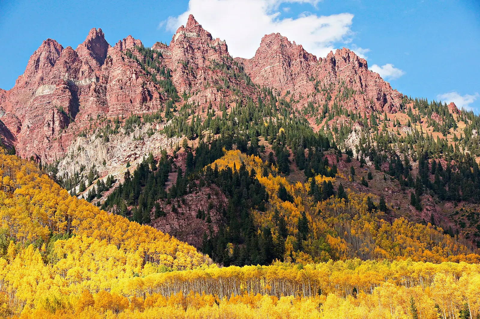
Colorado’s dated notes on this page come from two Forest Service sources, not from a statewide tourism calendar. The national fall-colors guide says quaking aspens in the White River National Forest, the Maroon Bells forest, turn brilliant gold in late September. The San Juan National Forest’s own report is more local. Colors over recent years tend to start in mid-September near Silverton and finish in early to mid-October around Pagosa Springs, Purgatory, and Dolores. Forester Matt Tuten’s line on that page is that aspens usually peak near the end of September into early October, typically a few weeks later than trees in most of the rest of the state.
That “few weeks later than most of the rest of the state” is his comparison. This page does not expand it into a Front Range Saturday. Arapaho and Roosevelt are named for Brainard Lake, the Peak to Peak, and Guanella Pass, with aspen, Gambel oak, and cottonwood, and without a date on the national guide. If you need a Front Range week, it is not invented here.
Peak timing varies from year to year. A warm fall, an early frost, or a windstorm can move or mute the color, which is why the live report matters more than any calendar.
When color usually arrives
White River and the Elk Mountains
Aspens brilliant gold in late September, in the Forest Service description of the White River National Forest and the Maroon Bells.
Forest Service fall-colors guide. Source: USDA Forest Service, Fall Colors.
San Juan Mountains
Start in mid-September near Silverton. Finish early to mid-October around Pagosa Springs, Purgatory, and Dolores. Aspens usually peak from the end of September into early October, a few weeks later than most of the rest of the state, in the forest forester’s wording. The November 4, 2026 status called the whole San Juan Skyway past peak, which is what “finish in early to mid-October” predicts by November.
San Juan National Forest fall colors report. Source: San Juan National Forest fall colors report.
Fall foliage map
Esri publishes a public ArcGIS experience called Fall Foliage Viewing. It is embedded here as a map you can pan. It is not the source of the dates on this site. If the embed is blocked or slow, the state reports linked above and below still stand on their own. For Colorado, it opens centered on the state. The center is the middle of the state's bounding box in the U.S. Census Bureau cartographic boundary, 2017 edition. The colored prediction layer in the experience is the Massachusetts Department of Conservation and Recreation forecast published in that app. It is not a forecast for any other state.
Map of waterfalls in Colorado
Larger gold markers are the waterfalls on this page's itinerary. Smaller markers are the other published waterfall pages in Colorado. The outline is the U.S. Census Bureau cartographic boundary for the state (2017, public domain). A marker is the mapped position of the falls, not a trailhead.
Published waterfall page On this foliage trip
On this trip
- Bridal Veil Falls, San Miguel County
- Helen Hunt Falls, El Paso County
- Treasure Falls, Mineral County
- Zapata Falls, Alamosa County
Other published waterfall pages in Colorado
- Adams Falls, Grand County
- Alberta Falls, Larimer County
- Bear Creek Falls, Ouray County
- Boulder Falls, Boulder County
- Bridal Veil Falls, Larimer County
- Cascade Falls, Grand County
- Chasm Falls, Larimer County
- Copeland Falls, Boulder County
- Cornel Falls, San Miguel County
- Elk Falls, Park County
- Fish Creek Falls, Routt County
- Hayes Creek Falls, Pitkin County
- North Clear Creek Falls, Hinsdale County
- Ouzel Falls, Boulder County
- Piedra Falls, Mineral County
- Rifle Falls, Garfield County
- Silver Cascade Falls, El Paso County
- Silver Falls, Mineral County
Open the interactive Colorado waterfall map. That map also includes named falls that do not have their own page.
The live report
The forest posts a corridor-by-corridor status. The November 4, 2026 update is an example of a season already past, not a reason to visit in November for peak. San Juan National Forest fall colors report.
Waterfalls to see with the color
Treasure Falls is Mineral County, on the Pagosa side of the San Juan report, which is the early-to-mid-October finish rather than the Silverton start. Bridal Veil Falls at Telluride is San Miguel County. There is another Bridal Veil page at Estes Park. It is not this stop. Telluride sits on the San Juan Skyway side of the report. Helen Hunt Falls is El Paso County, at Manitou Springs, which is Front Range and therefore outside the two dated forests. Zapata Falls is Alamosa County, on the east side of the San Luis Valley, also outside those two dated notes. The dated waterfall stops are Treasure and the Telluride Bridal Veil. The other two are published pages without a Forest Service week attached.
Treasure Falls
Mineral County · nearest listed town Pagosa Springs
- Trail
- Treasure Falls Trail 563
- Distance
- 0.4 mile one way (0.8 mile round trip)
- Elevation
- About 260 feet (trail elevation 8,120 to 8,380 feet)
- Difficulty
- Easy to moderate short climb; Forest Service describes it as a short accessible interpretive trail
- Reviews
- 341 · 4.8 stars
Bridal Veil Falls
San Miguel County · nearest listed town Telluride
- Trail
- Bridal Veil Wagon Road
- Reviews
- 203 · 4.9 stars
Helen Hunt Falls
El Paso County · nearest listed town Manitou Springs
- Distance
- About 0.3 to 0.7 mile out and back
- Elevation
- Roughly 200 to 280 feet on the Silver Cascade trail
- Difficulty
- Easy to the falls; steep and rocky beyond the bridge
- Reviews
- 750 · 4.7 stars
Zapata Falls
Alamosa County · nearest listed town Alamosa East
- Trail
- Zapata Falls Trail
- Distance
- About 0.5 mile one way
- Difficulty
- Easy to moderate; cold water and slippery rock on the final stretch
- Reviews
- 395 · 4.8 stars
Trail name, distance, elevation, and difficulty come from data/trails.json or a hand-checked trip note when one exists. A missing row means that field was not in those files. Drop is shown only when the USGS gazetteer text states a height.
San Juan pages on the forest’s own calendar
Pagosa and Telluride are the pair that the San Juan report actually covers. Silverton starts in mid-September. The lower towns, including Pagosa, finish in early to mid-October. Helen Hunt and Zapata are a different trip, and this page will not give them the White River’s late-September aspen date just because they are in Colorado. The straight-line miles show how far El Paso County is from Mineral County.
The Million Dollar Highway between Ouray and Silverton is the Forest Service’s named San Juan drive. It is not the road to Manitou Springs.
| From | To | Straight-line miles |
|---|---|---|
| Treasure Falls | Bridal Veil Falls | 59.0 |
| Bridal Veil Falls | Helen Hunt Falls | 166.5 |
| Helen Hunt Falls | Zapata Falls | 88.2 |
National parks on our guides
Rocky Mountain National Park is the Front Range guide. Its published falls are a separate list from the San Juan pages. The Forest Service names the Peak to Peak and Guanella Pass for aspen and Gambel oak near that park and does not date them on the page used here. Do not copy the White River’s late September onto Estes Park unless a forest report for that district says so.
- Rocky Mountain National Park — 7 published waterfalls filed in Colorado
Trees and the colors they are credited with
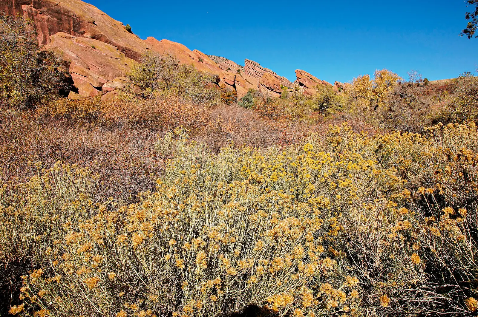
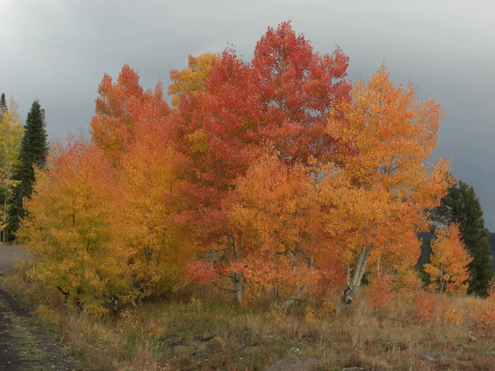
- Aspen, Gambel oak, cottonwood. The regional guide lists quaking aspen as the gold, Gambel oak as rusty red and orange on dry slopes, and cottonwood as soft yellow on rivers. Rocky Mountain and boxelder maple are the red and orange in canyons. The San Juan page says aspens are about 20 percent of Colorado’s forests. (USDA Forest Service, Fall Colors)
Frequently Asked Questions
When do the Maroon Bells aspens turn, according to the Forest Service?
Late September, in the national fall-colors guide’s description of the White River National Forest.
When do the San Juans run?
The forest says recent years start in mid-September near Silverton and finish in early to mid-October around Pagosa Springs, Purgatory, and Dolores. Aspens usually peak from the end of September into early October, a few weeks later than most of the rest of the state.
Which Bridal Veil is the San Juan stop?
The Telluride page in San Miguel County. Estes Park has a different Bridal Veil Falls page.
Photographs