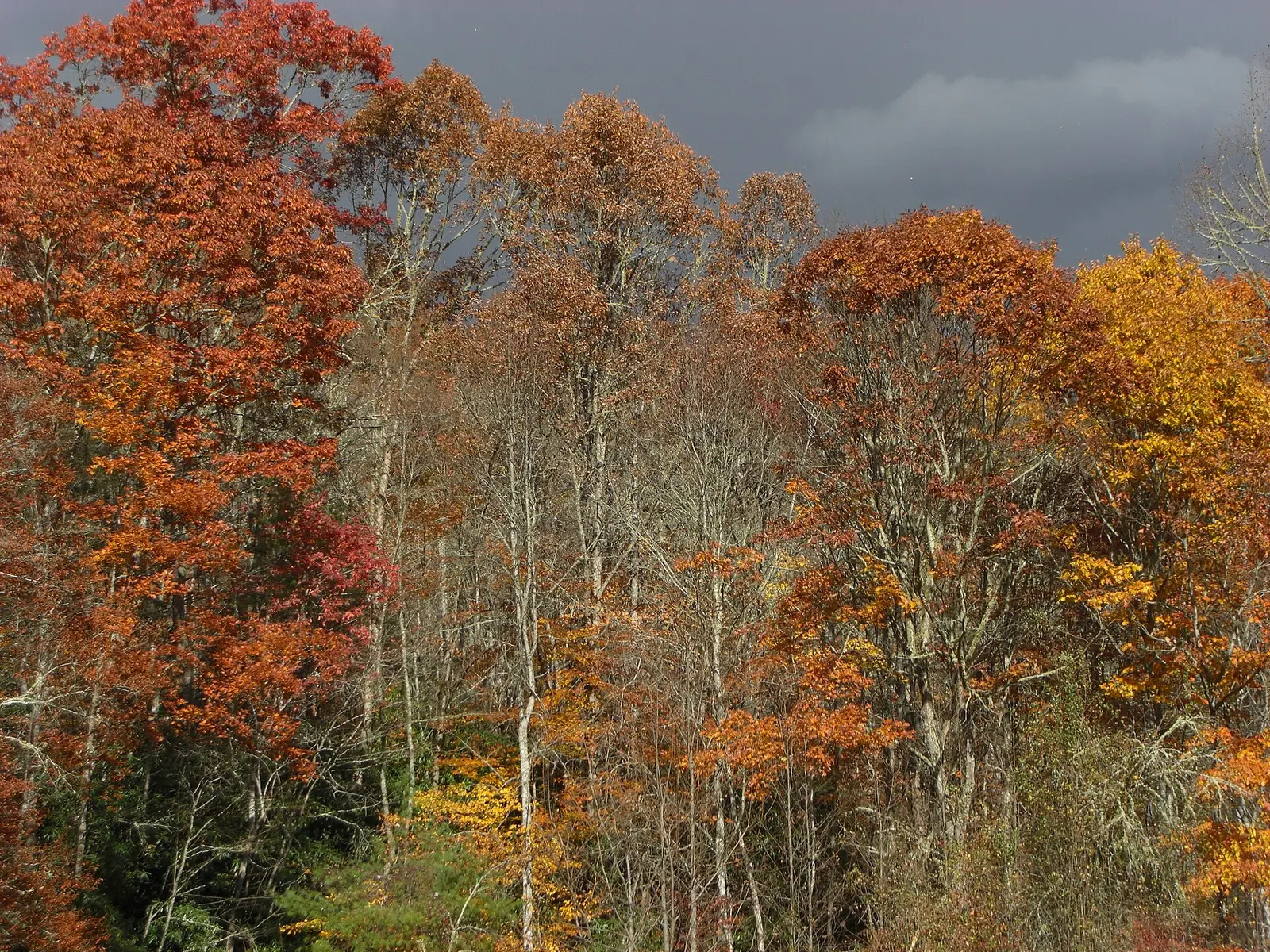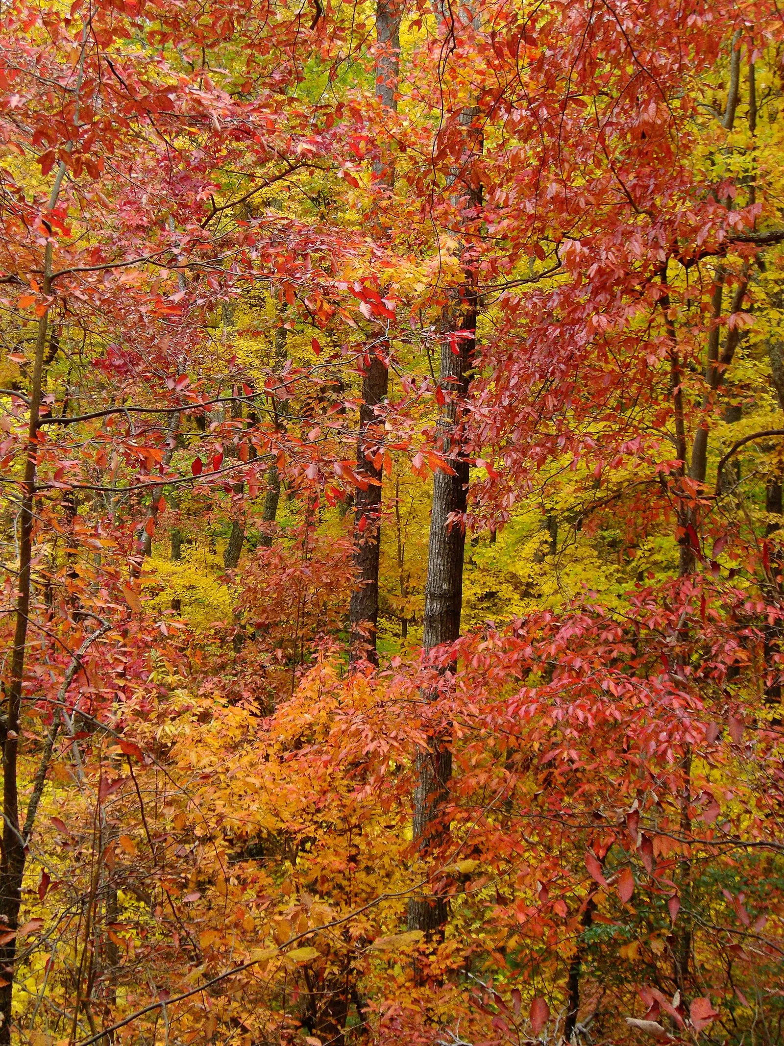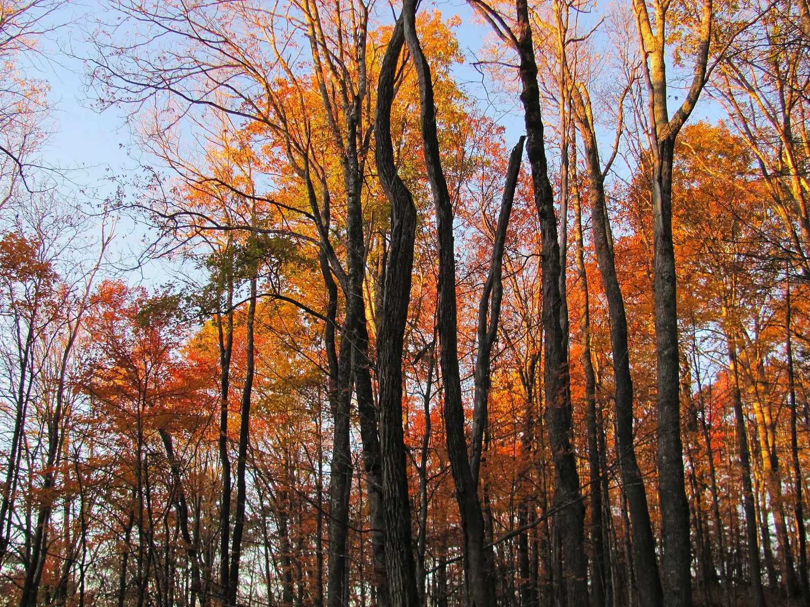
Visit North Carolina’s fall page says the useful question is where, not a single weekend, because elevation stretches the mountains across more than a month. A separate line on the same site says the wave usually starts in the mountains in mid-September and can last into November on the coast. The three western reports are more precise than that statewide sentence, and they are what this page uses for waterfall timing.
The Forest Service names Pisgah and Nantahala, the Blue Ridge Parkway, Craggy Gardens, and Linville Gorge for sugar maple, red maple, and hickory. That is the place list. The weeks come from Visit NC.
Peak timing varies from year to year. A warm fall, an early frost, or a windstorm can move or mute the color, which is why the live report matters more than any calendar.
When color usually arrives
High Country
Vibrant color from late September through late October, starting on Grandfather Mountain and moving downhill each week toward Boone, Blowing Rock, and valleys such as Wilkesboro.
Visit NC High Country color report. Source: Visit North Carolina, fall colors.
Asheville and the foothills
Usually begins at Max Patch and Craggy Gardens in early October, peaks in Pisgah National Forest and Montreat in mid-October, then downtown Asheville and DuPont State Forest from late October into early November.
Visit NC Asheville and foothills report. Source: Visit North Carolina, fall colors.
Smokies and the southwest
First color at Kuwohi in late September. Ridges near Waynesville, Maggie Valley, and Waterrock Knob by mid-October. Southwest valleys in early November.
Visit NC Smokies and Cherokee report. Source: Visit North Carolina, fall colors.
Fall foliage map
Esri publishes a public ArcGIS experience called Fall Foliage Viewing. It is embedded here as a map you can pan. It is not the source of the dates on this site. If the embed is blocked or slow, the state reports linked above and below still stand on their own. For North Carolina, it opens centered on the state. The center is the middle of the state's bounding box in the U.S. Census Bureau cartographic boundary, 2017 edition. The colored prediction layer in the experience is the Massachusetts Department of Conservation and Recreation forecast published in that app. It is not a forecast for any other state.
Map of waterfalls in North Carolina
Larger gold markers are the waterfalls on this page's itinerary. Smaller markers are the other published waterfall pages in North Carolina. The outline is the U.S. Census Bureau cartographic boundary for the state (2017, public domain). A marker is the mapped position of the falls, not a trailhead.
Published waterfall page On this foliage trip
On this trip
- Bridal Veil Falls, Macon County
- Dry Falls, Macon County
- Hooker Falls, Transylvania County
- Sliding Rock, Transylvania County
- Triple Falls, Transylvania County
Other published waterfall pages in North Carolina
- Bird Rock Falls, Transylvania County
- Bradley Falls, Polk County
- Bridal Veil Falls, Transylvania County
- Carter Falls, Wilkes County
- Cascade Falls, Wilkes County
- Catheys Creek Falls, Transylvania County
- Courthouse Falls, Transylvania County
- Crabtree Falls, Mitchell County
- Cullasaja Falls, Macon County
- Dill Falls, Jackson County
- Glen Falls, Macon County
- Grassy Creek Falls, Mitchell County
- Great Falls, Stanly County
- Hickorynut Falls, Rutherford County
- Hidden Falls, Stokes County
- High Falls, Transylvania County
- Leatherwood Falls, Clay County
- Linville Falls, Burke County
- Looking Glass Falls, Transylvania County
- Lower Cascade Falls, Stokes County
- Mingo Falls, Swain County
- Moore Cove Falls, Transylvania County
- Moravian Falls, Wilkes County
- Mouse Creek Falls, Haywood County
- Pearsons Falls, Polk County
- Rainbow Falls, Rutherford County
- Rainbow Falls, Transylvania County
- Reems Creek Falls, Buncombe County
- Silvervale Falls, Caldwell County
- Slick Rock Falls, Transylvania County
- Soco Falls, Jackson County
- Toxaway Falls, Transylvania County
- Upper Cascade Falls, Stokes County
- Upper Falls, Jackson County
- Walker Falls, Buncombe County
- Window Falls, Stokes County
Open the interactive North Carolina waterfall map. That map also includes named falls that do not have their own page.
The live report
The three western color notes and the mountains-to-coast line are both on the state tourism fall pages. There is no separate foliage phone number on the page used here. Visit NC fall colors.
Waterfalls to see with the color
Dry Falls and the Franklin Bridal Veil Falls are Macon County, Nantahala country, in the southwest report: ridges near the Smokies by mid-October, valleys in early November. There is a second Bridal Veil page in Transylvania County. It is not this stop. Triple Falls, Hooker Falls, and Sliding Rock are the Transylvania cluster at Brevard, which Visit NC files with DuPont and the late-October-into-early-November foothill stage, after Pisgah’s mid-October peak.
Dry Falls
Macon County · nearest listed town Franklin
- Distance
- About 0.1 mile one way
- Difficulty
- Easy, with stairs
- Reviews
- 1,145 · 4.9 stars
Bridal Veil Falls
Macon County · nearest listed town Franklin
- Reviews
- 407 · 4.6 stars
Triple Falls
Transylvania County · nearest listed town Brevard
- Distance
- About 1 mile round trip
- Difficulty
- Moderate: short distance with a steep section and stairs at the overlook
- Reviews
- 331 · 4.9 stars
Hooker Falls
Transylvania County · nearest listed town Brevard
- Trail
- Hooker Falls Trail
- Distance
- About 0.5 to 0.8 mile round trip
- Difficulty
- Easy
- Reviews
- 313 · 4.8 stars
Sliding Rock
Transylvania County · nearest listed town Brevard
- Reviews
- 743 · 4.8 stars
Trail name, distance, elevation, and difficulty come from data/trails.json or a hand-checked trip note when one exists. A missing row means that field was not in those files. Drop is shown only when the USGS gazetteer text states a height.
Macon County, then Brevard if you are a week later
Franklin is the southwest pair. Brevard is the foothill trio, and the three Transylvania pages are close enough that the straight-line table should show a short hop from Triple Falls to Hooker Falls to Sliding Rock. Do not add Franklin to that afternoon and call it one peak. Visit NC’s own reports put those landscapes on different weeks.
Great Smoky Mountains National Park straddles the state line. The North Carolina timing used here is Visit NC’s Kuwohi-to-valley sequence, not a date copied from the park brochure.
| From | To | Straight-line miles |
|---|---|---|
| Dry Falls | Bridal Veil Falls | 0.6 |
| Bridal Veil Falls | Triple Falls | 35.7 |
| Triple Falls | Hooker Falls | 0.4 |
| Hooker Falls | Sliding Rock | 11.9 |
National parks on our guides
The Great Smoky Mountains guide includes published waterfall pages on both sides of the state line. For the North Carolina week, follow Visit NC: high ridges such as Kuwohi in late September, Waynesville and Waterrock Knob by mid-October, southwest valleys in early November.
- Great Smoky Mountains National Park — 1 published waterfall filed in North Carolina, 6 on the park guide
Trees and the colors they are credited with
- Sugar maple, red maple, and hickory. The Forest Service uses those three for the Pisgah and Nantahala display along the Parkway, Craggy Gardens, and Linville Gorge. Visit NC adds that the state has more than 200 tree species in the mix, without listing them on the fall page. (USDA Forest Service, Fall Colors)
Frequently Asked Questions
When is the High Country?
Visit NC says late September through late October, starting on Grandfather Mountain and moving down toward Boone, Blowing Rock, and Wilkesboro.
When is DuPont and Asheville?
Pisgah and Montreat in mid-October, then downtown Asheville and DuPont from late October into early November. The Brevard waterfall pages sit in that later foothill band.
Which Bridal Veil Falls is the Macon County stop?
The Franklin page. Transylvania County has a different Bridal Veil Falls page, and it is not in this itinerary.
Photographs