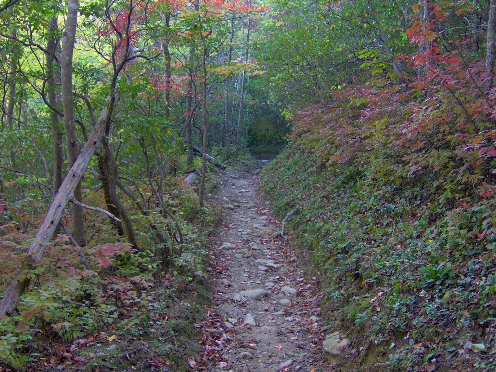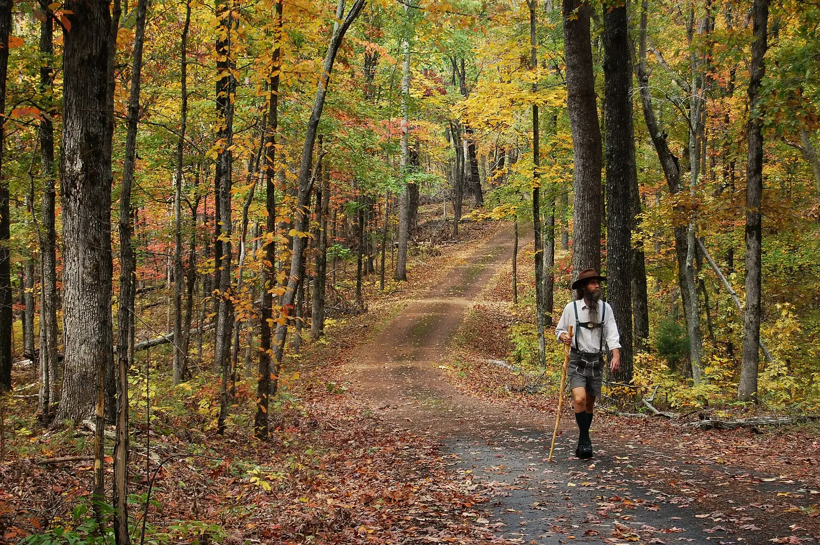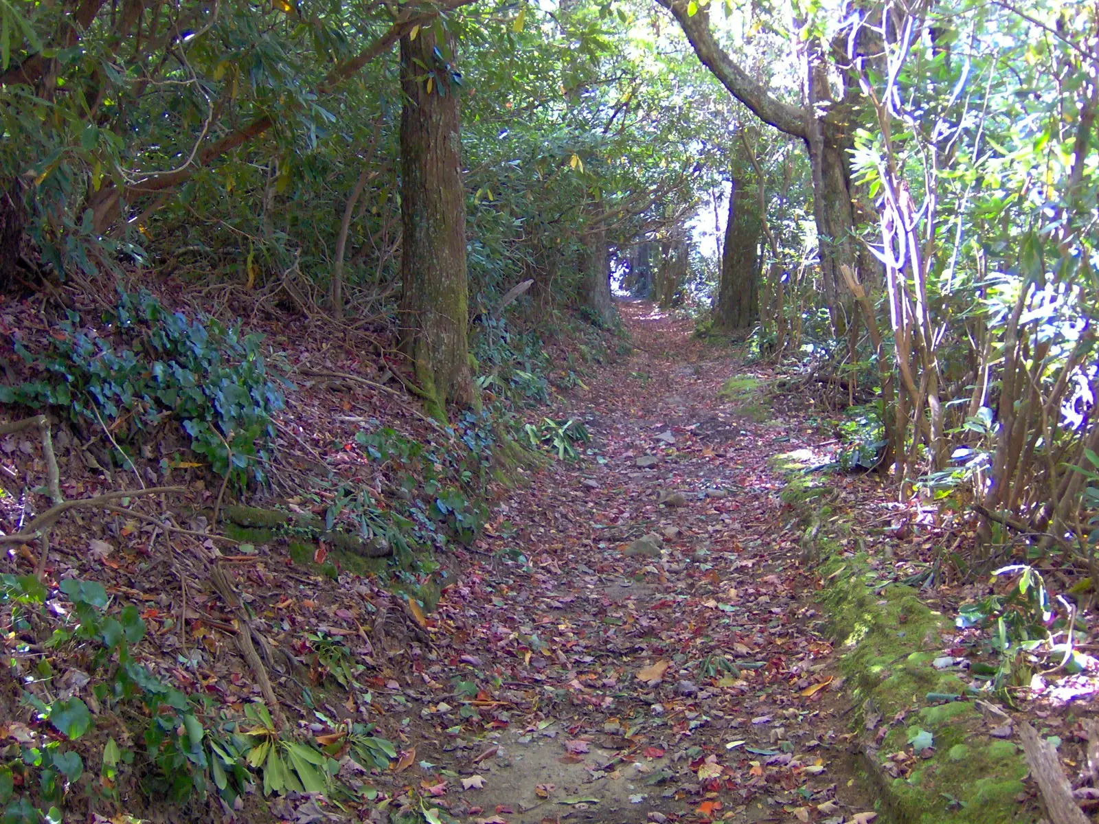
Two Tennessee State Parks articles describe the same season and do not use identical weeks. “Where and When to View Fall Colors” says East Tennessee begins in early October and peaks around the third week, while middle and west Tennessee begin in mid-October and peak by Halloween, with deciduous trees usually bare by Thanksgiving. “The Best Cabins to View Fall Foliage” says the Cumberland Plateau typically peaks a bit earlier than the rest of middle Tennessee, around the end of October, and that high Roan Mountain can show change in early September while Norris Dam waits until mid-to-late October.
Both pages are official. This guide prints both and does not average them into a third calendar. A September 8, 2026 tourism release adds two place notes: Roan Mountain peaking in mid-October, and Reelfoot Lake typically in mid-to-late October.
Peak timing varies from year to year. A warm fall, an early frost, or a windstorm can move or mute the color, which is why the live report matters more than any calendar.
When color usually arrives
East Tennessee, including the high Unakas
The “where and when” article: early October start, peak around the third week. The cabins article: peak mid-to-late October, with early September possible at Roan Mountain and mid-to-late October at lower sites such as Norris Dam. The 2026 tourism release says Roan peaks in mid-October.
State park articles, plus the September 8, 2026 tourism release for Roan. Source: Tennessee State Parks, where and when.
Cumberland Plateau and middle Tennessee
The cabins article says middle Tennessee usually starts mid-to-late October and peaks near early November, while the plateau peaks around the end of October. The other article’s statewide middle-and-west line is “peaks by Halloween.” Fall Creek Falls and Ozone Falls are plateau pages, so the end-of-October plateau line is the one this guide uses for them.
The two state park articles differ; both are cited. Source: Tennessee State Parks, cabins and foliage.
West Tennessee
The cabins article says colors begin early to mid-October and can last into mid-November, with a peak viewing period of late October to early November. The 2026 tourism release says Reelfoot Lake typically arrives in mid-to-late October and mentions the cypress. The “where and when” article suggests Chickasaw, Meeman-Shelby, and the Natchez Trace for early to mid-November.
State park articles and the 2026 tourism release. Source: Tennessee tourism, September 8, 2026.
Fall foliage map
Esri publishes a public ArcGIS experience called Fall Foliage Viewing. It is embedded here as a map you can pan. It is not the source of the dates on this site. If the embed is blocked or slow, the state reports linked above and below still stand on their own. For Tennessee, it opens centered on the state. The center is the middle of the state's bounding box in the U.S. Census Bureau cartographic boundary, 2017 edition. The colored prediction layer in the experience is the Massachusetts Department of Conservation and Recreation forecast published in that app. It is not a forecast for any other state.
Map of waterfalls in Tennessee
Larger gold markers are the waterfalls on this page's itinerary. Smaller markers are the other published waterfall pages in Tennessee. The outline is the U.S. Census Bureau cartographic boundary for the state (2017, public domain). A marker is the mapped position of the falls, not a trailhead.
Published waterfall page On this foliage trip
On this trip
- Burgess Falls, Putnam County
- Cummins Falls, Jackson County
- Fall Creek Falls, Van Buren County
- Ozone Falls, Cumberland County
Other published waterfall pages in Tennessee
- Abrams Falls, Blount County
- Bald River Falls, Monroe County
- Benton Falls, Polk County
- Big Falls, Coffee County
- Bluehole Falls, Coffee County
- Cane Creek Falls, Van Buren County
- Cul-car-mac Falls, DeKalb County
- Falling Water Falls, Hamilton County
- Flatrock Falls, Hamilton County
- Foster Falls, Marion County
- Freudenberg Falls, Hamilton County
- Gentry Creek Falls, Johnson County
- Great Falls, Warren County
- Grotto Falls, Sevier County
- Hen Wallow Falls, Cocke County
- Jackson Falls, Hickman County
- Laurel Falls, Sevier County
- Laurel Falls, Carter County
- Lower Piney Falls, Rhea County
- Machine Falls, Coffee County
- Northrup Falls, Fentress County
- Ovoca Falls, Coffee County
- Piney Creek Falls, Van Buren County
- Rainbow Falls, Hardin County
- Rainbow Falls, Cannon County
- Ramsey Cascades, Sevier County
- Rattlesnake Falls, Maury County
- Ruby Falls, Hamilton County
- Rutledge Falls, Coffee County
- Spivey Falls, Unicoi County
- Stillhouse Hollow Falls State Natural Area, Maury County
- Stinging Fork Falls State Natural Area, Rhea County
- Subterranean waterfall, Hamilton County
- Twisting Falls, Carter County
- Upper Piney Falls, Rhea County
- Virgin Falls, White County
Open the interactive Tennessee waterfall map. That map also includes named falls that do not have their own page.
The live report
The parks site links a prediction map from the color articles. No weekly ranger hotline was printed on those pages. Cabin reservations use 1-888-TN-PARKS, which is a parks line, not a foliage desk. Tennessee State Parks fall color blog.
Waterfalls to see with the color
Fall Creek Falls is in Van Buren County and Ozone Falls is in Cumberland County. Both are plateau country, where the cabins article says color typically peaks around the end of October, earlier than the rest of middle Tennessee. Burgess Falls is Putnam County and Cummins Falls is Jackson County, still on the middle-Tennessee side of the state and not in the high Unakas. Ruby Falls, in Hamilton County, is a commercial cave fall with a huge review count. It is omitted here because a cave trail is not a foliage canopy, and the state park articles do not use it as a color stop.
Fall Creek Falls
Van Buren County · nearest listed town Spencer
- Distance
- 0.35 mile one way
- Difficulty
- Easy at the overlook; the base trail is difficult and rocky, with a steep climb back
- Reviews
- 572 · 4.8 stars
Ozone Falls
Cumberland County · nearest listed town Rockwood
- Distance
- About 0.3 mile one way
- Difficulty
- Easy to the overlook; difficult and slippery to the base
- Reviews
- 432 · 4.8 stars
Burgess Falls
Putnam County · nearest listed town Baxter
- Distance
- About 1.5 miles round trip
- Difficulty
- Moderate
- Drop
- 136 ft in the USGS gazetteer text
- Reviews
- 434 · 4.8 stars
Cummins Falls
Jackson County · nearest listed town Dodson Branch
- Drop
- 75 ft in the USGS gazetteer text
- Reviews
- 572 · 4.6 stars
Trail name, distance, elevation, and difficulty come from data/trails.json or a hand-checked trip note when one exists. A missing row means that field was not in those files. Drop is shown only when the USGS gazetteer text states a height.
Plateau parks at the end of October
Spencer, Rockwood, Baxter, and the Jackson County page are a middle-Tennessee set. The cabins article is the reason to aim at the end of October on the plateau and not at the early-September Roan note, which belongs to a different mountain. If the two state park articles disagree by a week, believe the current park report over either blog.
The Smokies guide covers the high east. Its week on the North Carolina side of the line is on that state’s page. Tennessee’s own east-park line is the third week of October in one article and mid-to-late October in the other.
| From | To | Straight-line miles |
|---|---|---|
| Fall Creek Falls | Ozone Falls | 33.9 |
| Ozone Falls | Burgess Falls | 45.5 |
| Burgess Falls | Cummins Falls | 14.3 |
National parks on our guides
Great Smoky Mountains National Park is the shared guide with North Carolina. Waterfall pages in the park are on that guide. The Tennessee state-park dates above are for the plateau and the east-Tennessee parks the articles name, not a substitute for the park’s own fall page.
- Great Smoky Mountains National Park — 5 published waterfalls filed in Tennessee, 6 on the park guide
Trees and the colors they are credited with
- Cypress at Reelfoot. The cabins article points at Reelfoot for cypress color, and the 2026 tourism release repeats the lake as a mid-to-late October place. Rhododendron at Roan is described as evergreen thickets, so it is not part of the leaf turn. (Tennessee State Parks, cabins and foliage)
Frequently Asked Questions
Why do the two state park articles disagree?
They were written as separate guides. One says East Tennessee peaks around the third week of October and middle and west Tennessee by Halloween. The other says the plateau peaks around the end of October and west Tennessee late October into early November. Both are linked. Neither is silently averaged.
When is Roan Mountain?
The cabins article says high Roan can start in early September and the 2026 tourism release says it peaks in mid-October. Lower east Tennessee, such as Norris Dam, is mid-to-late October in the cabins article.
Which waterfall pages are on the plateau week?
Fall Creek Falls and Ozone Falls. Burgess Falls and Cummins Falls are the other middle-Tennessee pages in this set.
Photographs