
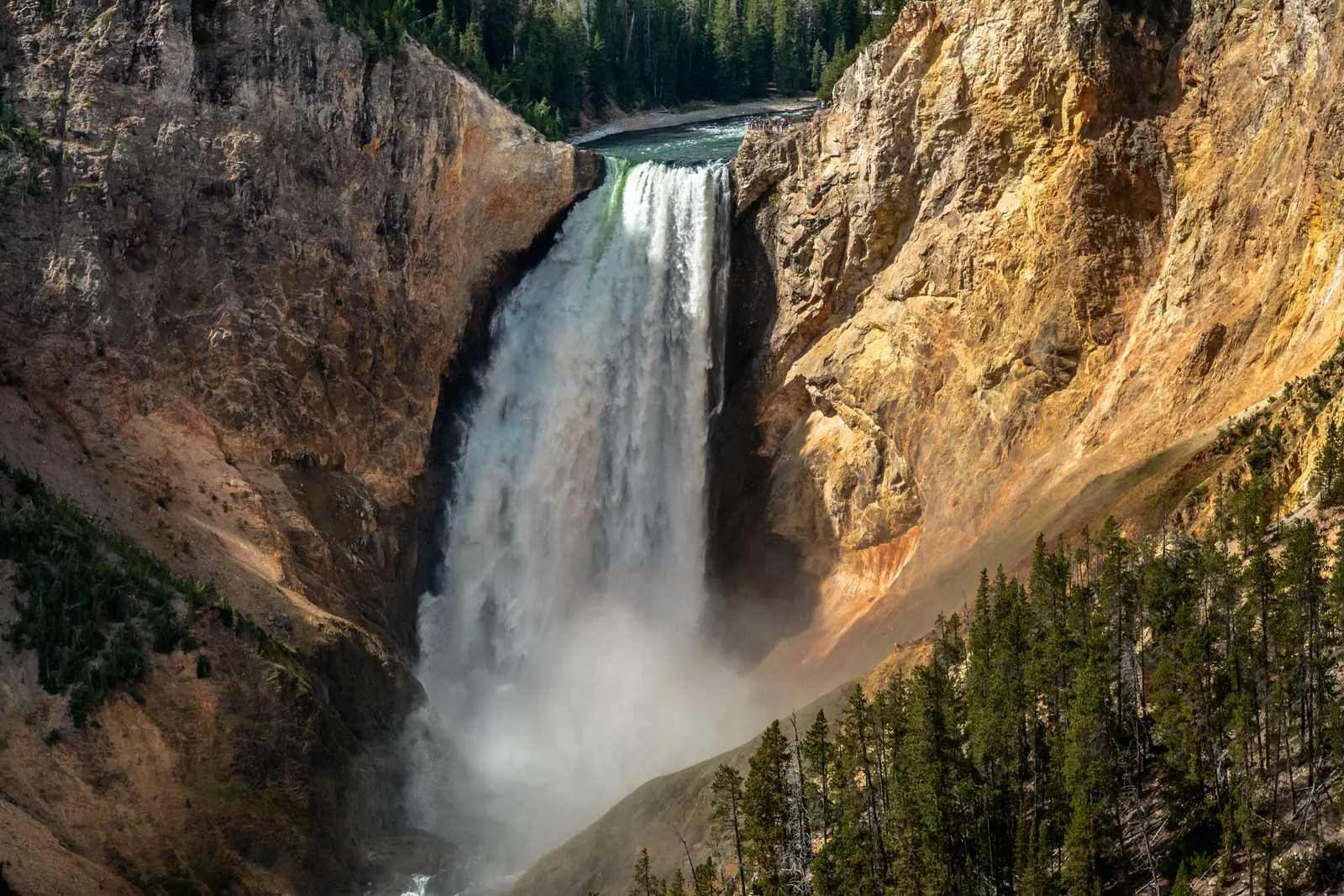

Wyoming has 88 named waterfalls in the U.S. Geological Survey Geographic Names Information System, the features classified as Falls. That count ranks Wyoming 11th among the 50 states. The figure comes from the GNIS domestic-names extract in this site, committed 2026-10-02, and this page was published 2026-11-19. The latest feature-edit date stored on these Falls records is December 30, 2020.
National rank and density
Divided by the state's land area of 97,089 square miles, from the U.S. Census Bureau 2024 Gazetteer (ALAND_SQMI, land only, inland water excluded), Wyoming has 0.91 named falls per 1,000 square miles. That density ranks 18th of the 50 states. The national named total in this extract is 2,514 falls across the 50 states, so Wyoming holds 3.5 percent of them.
Bordering states, with their named-falls counts: Colorado (80); Idaho (64); Montana (119); Nebraska (8, no separate count page); South Dakota (7, no separate count page); Utah (22).
Where the named falls cluster
Wyoming's named falls are filed under 10 county equivalents. The largest counts are Teton (46), Park (15), and Sublette (8), 69 falls and 78.4 percent of the state total.
The Wyoming waterfall map plots the same named falls. County names are the labels GNIS recorded. Connecticut's file uses planning regions, Alaska's uses boroughs and census areas, and Louisiana's uses parishes, so the column is not always a traditional county.
| County or equivalent | Named falls | Share | Examples |
|---|---|---|---|
| Teton | 46 | 52.3% | Albright Falls, Bannock Falls, Bechler Falls |
| Park | 15 | 17% | Beartooth Falls, Big Creek Falls, Bridal Veil Falls |
| Sublette | 8 | 9.1% | Clear Creek Falls, Cliff Creek Falls, Menace Falls |
| Fremont | 6 | 6.8% | Bomber Falls, Brooks Lake Creek Falls, Bull Lake Falls |
| Big Horn | 4 | 4.5% | Bucking Mule Falls, Melody Falls, Porcupine Falls |
| Converse | 3 | 3.4% | Le Vasseur Falls, Little Medicine Falls, Wagon Hound Falls |
| Lincoln | 3 | 3.4% | Lewis Falls, Spring Creek Falls, Wohelo Falls |
| Albany | 1 | 1.1% | Duck Creek Falls |
| Natrona | 1 | 1.1% | Garden Creek Waterfall |
| Platte | 1 | 1.1% | Cottonwood Falls |
Why Wyoming's count looks like this
Wyoming’s named falls are a mountain-island count on a dry map. Teton County holds about half of them by itself, which is Yellowstone’s southern half and the Tetons: a volcanic plateau and a fault-block range, both heavily glaciated, with creeks falling out of cirques. Park County is second, covering the rest of Yellowstone’s famous canyon, including the Upper and Lower Falls of the Yellowstone.
The basins between the ranges are high and dry and contribute almost nothing. Sublette and Fremont counties pick up the Wind River side. A named fall in Wyoming is usually a snowmelt drop at the head of a canyon, not a river that runs all summer. The Lower Falls of the Yellowstone is the exception that carries real volume, and it is one name, not the reason the state ranks eleventh.
Named falls we publish
We publish a full page for 14 of the 88 named falls. A page exists when the fall has at least 25 Google reviews, a sourced trip guide, or at least 200 characters of USGS description or history. The other 74 stay on the state guide as names and coordinates. The Wyoming state guide also lists 1 other place from Google Maps that is not in the GNIS Falls extract, so the guide's total is 89.
- Mystic Falls (Teton · 706 Google reviews · 2.4 miles round trip)
- Upper Falls of the Yellowstone River (Park · 229 Google reviews)
- Hidden Falls (Teton · 131 Google reviews)
- Garden Creek Waterfall (Natrona · 111 Google reviews)
- Shell Falls (Big Horn · 83 Google reviews)
- Lower Falls of the Yellowstone River (Park · 77 Google reviews)
- Firehole Falls (Teton · 61 Google reviews)
- Undine Falls (Park · 50 Google reviews)
- Moose Falls (Teton · 40 Google reviews)
- Porcupine Falls (Big Horn · 40 Google reviews)
- Popo Agie Falls (Fremont · 32 Google reviews · Popo Agie Falls Trail)
- Wraith Falls (Park · 26 Google reviews · 0.4 miles one way)
Those are the 12 published pages with the most Google reviews. The state guide links the rest.
Tallest falls on the record
The national roundup, the largest waterfalls in the U.S. by state, does not name a single well-documented tallest waterfall for Wyoming. None of the USGS descriptions in our file state a height in feet for a named fall here. We do not estimate one.
National parks
These national park guides include a published waterfall whose coordinates fall inside the park and inside Wyoming.
- Yellowstone National Park (8 published waterfalls in Wyoming: Albright Falls, Firehole Falls, Lower Falls of the Yellowstone River, Moose Falls, Mystic Falls, Undine Falls, Upper Falls of the Yellowstone River, Wraith Falls)
- Grand Teton National Park (1 published waterfall in Wyoming: Hidden Falls)
Trails we can measure
These distances come from the trail notes already attached to the published pages, either a sourced trip guide or an OpenStreetMap path. A blank distance means the map did not give one we were willing to print.
- Mystic Falls: Mystic Falls Trail, 2.4 miles round trip
- Popo Agie Falls: Popo Agie Falls Trail
- Wraith Falls: Wraith Falls trail, 0.4 miles one way
When to go in Wyoming
Yellowstone’s roads open in stages, often from late April into late May, and the canyon falls are already running on meltwater when the plows finish. High Teton and Wind River trails come later, commonly late June, which is also when the snowpack is still feeding them. By August the small cirque falls have dropped. September is quieter and lower.
How this number was counted
Named falls are records with feature class Falls in the USGS National Map GNIS domestic names, filtered to this state in data/gnis-waterfalls.json. The download script is scripts/prepare-gnis.mjs, pointed at the USGS domestic-names file. Land area is ALAND_SQMI in the Census Bureau 2024 Gazetteer national state file, written by scripts/prepare-state-areas.mjs. Density is named falls divided by land area, times 1,000. The full 50-state ranking, including states with too few named falls for their own page, is Which state has the most waterfalls?.
Frequently asked questions
How many waterfalls are in Wyoming?
Wyoming has 88 named waterfalls in the USGS GNIS Falls class, ranking 11th of the 50 states. The extract used here was committed 2026-10-02, and this page was published 2026-11-19.
Which county in Wyoming has the most named waterfalls?
Teton has the most, with 46 named falls. Park is next with 15.
How many Wyoming waterfalls have a page on this site?
14 of the 88 named falls have a published page. A page requires 25 or more Google reviews, a sourced trip guide, or at least 200 characters of USGS description or history.
When is the best time to see waterfalls in Wyoming?
Yellowstone’s roads open in stages, often from late April into late May, and the canyon falls are already running on meltwater when the plows finish. High Teton and Wind River trails come later, commonly late June, which is also when the snowpack is still feeding them. By August the small cirque falls have dropped. September is quieter and lower.
Are Wyoming’s waterfalls all in Yellowstone?
Teton and Park counties, which cover Yellowstone and the Tetons, hold most of the named falls. They do not hold all of them. Sublette, Fremont and Big Horn counties add named falls in the Wind River Range and the Bighorns.