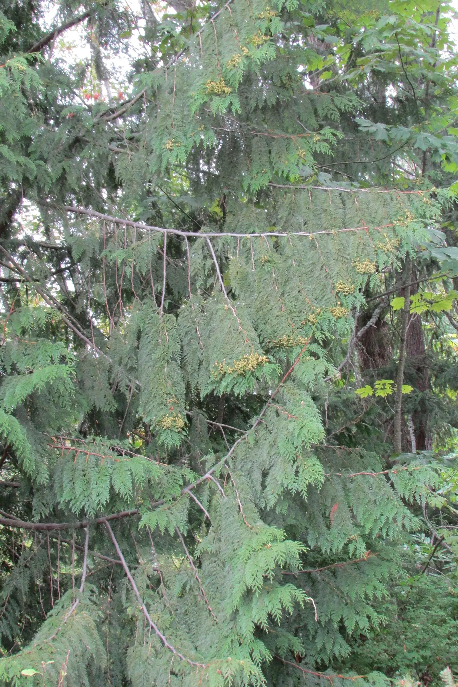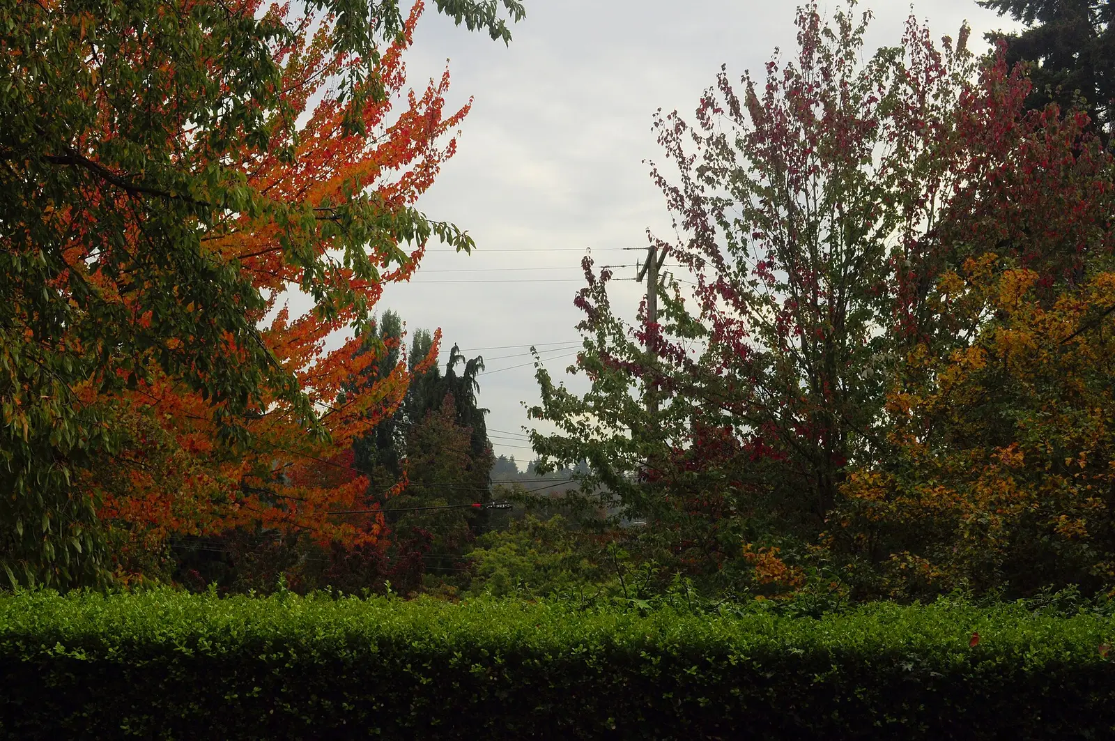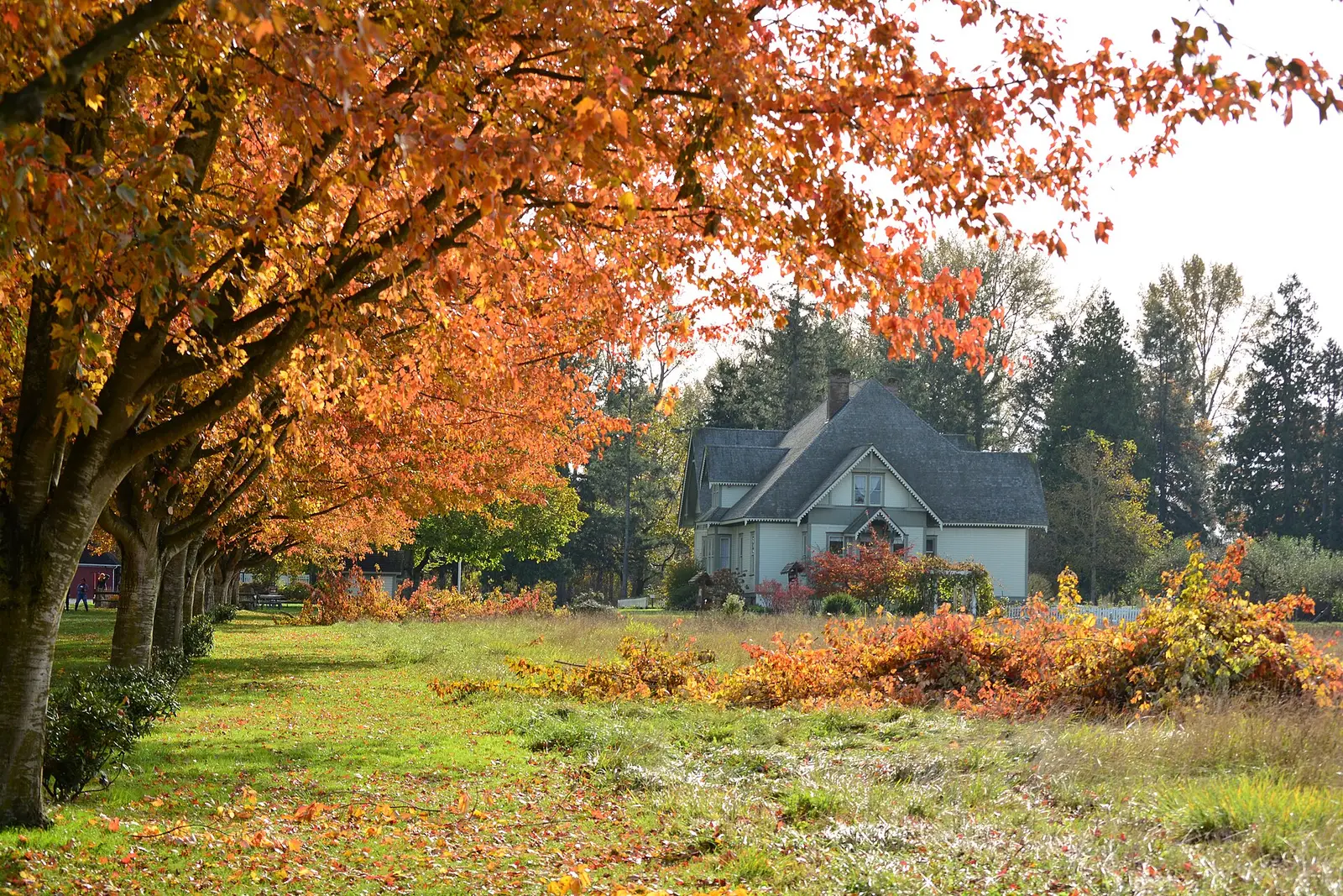
The state tourism page, updated August 21, 2026, says fall color in Washington generally appears from mid-September to early November, and that mid-October is the best chance at vibrant color. Larches are the exception with a sequence: greenish gold in late September, orange by early October, then they fade and go bare. Washington State Parks says subalpine larch is typically found from about 5,800 to 7,500 feet. That is a mountain tree, not a Puget Sound street tree.
The Forest Service names vine maple and western larch on the Gifford Pinchot, and maple, alder, and cottonwood along the Quinault and Hood Canal. Those are places. The dates are the tourism page.
Peak timing varies from year to year. A warm fall, an early frost, or a windstorm can move or mute the color, which is why the live report matters more than any calendar.
When color usually arrives
The statewide bracket
Mid-September to early November, with mid-October as the best chance. The tourism page does not split Seattle from Spokane inside that sentence.
State of Washington Tourism, updated August 21, 2026. Source: State of Washington Tourism, where to find fall color.
North-central and northeastern larches
Late September they begin turning greenish gold. By early October they are orange. Then they fade and drop. Subalpine larch is the high one, typically 5,800 to 7,500 feet, in the state parks field guide.
Tourism page and Washington State Parks. Source: Washington State Parks, larch field guide.
Fall foliage map
Esri publishes a public ArcGIS experience called Fall Foliage Viewing. It is embedded here as a map you can pan. It is not the source of the dates on this site. If the embed is blocked or slow, the state reports linked above and below still stand on their own. For Washington, it opens centered on the state. The center is the middle of the state's bounding box in the U.S. Census Bureau cartographic boundary, 2017 edition. The colored prediction layer in the experience is the Massachusetts Department of Conservation and Recreation forecast published in that app. It is not a forecast for any other state.
Map of waterfalls in Washington
Larger gold markers are the waterfalls on this page's itinerary. Smaller markers are the other published waterfall pages in Washington. The outline is the U.S. Census Bureau cartographic boundary for the state (2017, public domain). A marker is the mapped position of the falls, not a trailhead.
Published waterfall page On this foliage trip
On this trip
- Deception Falls, King County
- Franklin Falls, King County
- Palouse Falls, Franklin County
- Snoqualmie Falls, King County
Other published waterfall pages in Washington
- Alpine Falls, King County
- Beaver Falls, Clallam County
- Bridal Veil Falls, Snohomish County
- Carter Falls, Lewis County
- Cascade Falls, San Juan County
- Christine Falls, Pierce County
- Comet Falls, Pierce County
- Crystal Falls, Stevens County
- Deschutes Falls, Thurston County
- Dougan Falls, Skamania County
- Douglass Falls, Stevens County
- Dry Falls, Grant County
- Eagle Falls, Snohomish County
- Explorer Falls, Snohomish County
- Falls Creek Falls, Skamania County
- Gorge Creek Falls, Whatcom County
- Granite Falls, Snohomish County
- Kalama Falls, Cowlitz County
- Keekwulee Falls, King County
- Kennedy Falls, Thurston County
- Ladder Creek Falls, Whatcom County
- LaSota Falls, Pend Oreille County
- Little Mashel Falls, Pierce County
- Lucia Falls, Clark County
- Mary Pamela Falls, Snohomish County
- Marymere Falls, Clallam County
- Mima Falls, Thurston County
- Moulton Falls, Clark County
- Narada Falls, Lewis County
- Nooksack Falls, Whatcom County
- Pewee Falls, Pend Oreille County
- Pothole Falls, Clark County
- Silver Falls, Lewis County
- Sol Duc Falls, Clallam County
- Spokane Falls, Spokane County
- Summer Falls, Grant County
- Sunset Falls, Clark County
- Teneriffe Falls, King County
- Twin Falls, King County
- Union Creek Falls, Yakima County
- Victor Falls, Pierce County
- Walupt Creek Falls, Lewis County
- Yacolt Falls, Clark County
Open the interactive Washington waterfall map. That map also includes named falls that do not have their own page.
The live report
No weekly field report was found. The tourism page is the calendar. State of Washington Tourism fall color page.
Waterfalls to see with the color
Snoqualmie, Franklin, and Deception are King County pages on the west side, in the mid-October “best chance” bracket. They are maple and alder country, not subalpine larch. Palouse Falls is the Franklin County page in the directory’s county field, on the dry east side. The statewide bracket still covers it, and the larch sequence does not, unless you are actually in the north-central mountains. Mount Rainier and Olympic are the park guides. Their waterfalls are a different list. The larch elevations are above the waterfall trailheads named here.
Snoqualmie Falls
King County · nearest listed town Snoqualmie
- Distance
- 1.4 miles round trip
- Elevation
- About 250 feet on the lower-falls trail
- Difficulty
- Easy, with one steep climb back up from the lower viewpoint
- Reviews
- 4,480 · 4.8 stars
Franklin Falls
King County · nearest listed town Tanner
- Trail
- Franklin Falls Trail 1036
- Distance
- 2 miles round trip
- Elevation
- About 400 feet
- Difficulty
- Easy family hike, with a rocky final descent to the pool
- Reviews
- 660 · 4.8 stars
Deception Falls
King County · nearest listed town Gold Bar
- Trail
- Deception Falls Trail
- Distance
- About 0.5 mile loop
- Difficulty
- Easy
- Reviews
- 290 · 4.8 stars
Palouse Falls
Franklin County · nearest listed town Dayton
- Reviews
- 637 · 4.7 stars
Trail name, distance, elevation, and difficulty come from data/trails.json or a hand-checked trip note when one exists. A missing row means that field was not in those files. Drop is shown only when the USGS gazetteer text states a height.
King County in mid-October, the Palouse as a separate east-side day
Snoqualmie, Franklin Falls, and Deception Falls are a west-side cluster. Mid-October is the tourism page’s best chance. Palouse Falls is not on that loop. The straight-line miles make that obvious. If the goal is orange larch, leave the waterfalls and go to the 5,800-to-7,500-foot subalpine zone in early October, which is the state parks elevation, not the elevation of Snoqualmie Falls.
| From | To | Straight-line miles |
|---|---|---|
| Snoqualmie Falls | Franklin Falls | 20.6 |
| Franklin Falls | Deception Falls | 22.9 |
| Deception Falls | Palouse Falls | 157.2 |
National parks on our guides
Mount Rainier and Olympic National Park both have waterfall guides. The foliage fact to add is not a new peak date for the parks. It is the state tourism bracket, mid-September to early November with mid-October the best chance, and the larch sequence if you are high enough for subalpine larch.
- Mount Rainier National Park — 5 published waterfalls filed in Washington
- Olympic National Park — 2 published waterfalls filed in Washington
Trees and the colors they are credited with
- Larch, maple, aspen. Tourism names larches, maples, and aspens. State Parks distinguishes western larch and subalpine larch. The Forest Service adds vine maple and bigleaf maple, plus alder and cottonwood in the river valleys. (State of Washington Tourism)
Frequently Asked Questions
When is the best chance of color in Washington?
State tourism says mid-October, inside a season that generally runs from mid-September to early November.
When do larches turn?
Greenish gold in late September, orange by early October, then they fade and drop. Subalpine larch is typically at 5,800 to 7,500 feet.
Which falls are west-side pages?
Snoqualmie, Franklin, and Deception, all King County. Palouse Falls is the eastern page.
Photographs