
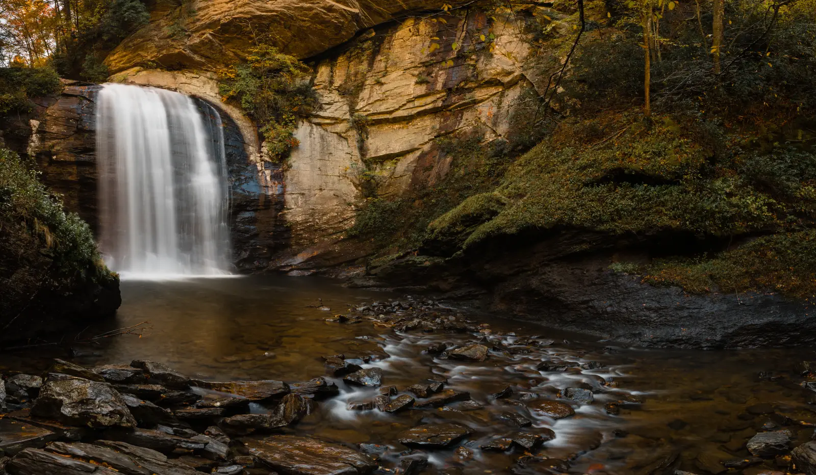

North Carolina has 105 named waterfalls in the U.S. Geological Survey Geographic Names Information System, the features classified as Falls. That count ranks North Carolina 8th among the 50 states. The figure comes from the GNIS domestic-names extract in this site, committed 2026-10-02, and this page was published 2026-11-19. The latest feature-edit date stored on these Falls records is December 30, 2020.
National rank and density
Divided by the state's land area of 48,624 square miles, from the U.S. Census Bureau 2024 Gazetteer (ALAND_SQMI, land only, inland water excluded), North Carolina has 2.16 named falls per 1,000 square miles. That density ranks 12th of the 50 states. The national named total in this extract is 2,514 falls across the 50 states, so North Carolina holds 4.2 percent of them.
Bordering states, with their named-falls counts: Georgia (28); South Carolina (25); Tennessee (81); Virginia (41).
Where the named falls cluster
North Carolina's named falls are filed under 25 county equivalents. The largest counts are Transylvania (21), Jackson (16), and Macon (9), 46 falls and 43.8 percent of the state total.
Transylvania, Jackson and Macon counties, on the Blue Ridge Escarpment, have 46 of the state's 105 named falls.
The North Carolina waterfall map plots the same named falls. County names are the labels GNIS recorded. Connecticut's file uses planning regions, Alaska's uses boroughs and census areas, and Louisiana's uses parishes, so the column is not always a traditional county.
Why North Carolina's count looks like this
North Carolina is the state people name when they mean “waterfall country,” and in this file it is eighth, not first. The names are packed against the state line. Transylvania County leads, then Jackson and Macon, which is the Blue Ridge Escarpment: the plateau ends and rivers drop off the Blue Ridge into the Piedmont over a few miles of gorge. That is why Transylvania County has a reputation out of proportion to a mid-size state total.
East of the escarpment the Piedmont and the coastal plain barely appear in the Falls class. The rock on the escarpment is old metamorphic rock, wet enough that the creeks keep their names in the gazetteer. Great Smoky Mountains National Park holds some of those names on the Tennessee line, but the big named cluster in this extract is the escarpment counties south of the park, not the park alone.
Named falls we publish
We publish a full page for 39 of the 105 named falls. A page exists when the fall has at least 25 Google reviews, a sourced trip guide, or at least 200 characters of USGS description or history. The other 66 stay on the state guide as names and coordinates. The North Carolina state guide also lists 4 other places from Google Maps that are not in the GNIS Falls extract, so the guide's total is 109.
- Dry Falls (Macon · 1,145 Google reviews · About 0.1 mile one way)
- Bridal Veil Falls (Macon · 407 Google reviews)
- Triple Falls (Transylvania · 331 Google reviews · About 1 mile round trip)
- Hooker Falls (Transylvania · 313 Google reviews · About 0.5 to 0.8 mile round trip)
- Pearsons Falls (Polk · 278 Google reviews · 0.4 miles one way)
- Crabtree Falls (Mitchell · 271 Google reviews · 2.5 miles loop)
- Linville Falls (Burke · 269 Google reviews · 1.6 miles round trip)
- Rainbow Falls (Transylvania · 207 Google reviews · Rainbow Falls Trail)
- Lower Cascade Falls (Stokes · 194 Google reviews · Lower Cascades Trail)
- High Falls (Transylvania · 173 Google reviews)
- Cullasaja Falls (Macon · 170 Google reviews)
- Looking Glass Falls (Transylvania · 149 Google reviews)
Those are the 12 published pages with the most Google reviews. The state guide links the rest.
Tallest falls on the record
Our national roundup, the largest waterfalls in the U.S. by state, names a well-documented tall fall for North Carolina in the state-by-state table. That roundup is a height and volume study. It is not this named-count ranking. Separately, the tallest height written into the USGS gazetteer text in our file is Lower Vernal Falls at 80 feet, Bemis Camp Falls at 35 feet, and Upper Vernal Falls at 35 feet. Most Falls records state no height, so this is not a ranking of the tallest waterfall in the state.
National parks
These national park guides include a published waterfall whose coordinates fall inside the park and inside North Carolina.
- Great Smoky Mountains National Park (1 published waterfall in North Carolina: Mouse Creek Falls)
Trails we can measure
These distances come from the trail notes already attached to the published pages, either a sourced trip guide or an OpenStreetMap path. A blank distance means the map did not give one we were willing to print.
- Dry Falls: About 0.1 mile one way
- Triple Falls: About 1 mile round trip
- Hooker Falls: Hooker Falls Trail, About 0.5 to 0.8 mile round trip
- Pearsons Falls: Pearson Family Trail, 0.4 miles one way
- Crabtree Falls: 2.5 miles loop
- Linville Falls: Erwins View Trail, 1.6 miles round trip
When to go in North Carolina
The escarpment is one of the wettest parts of the East, so falls run in every month, with the fullest creeks from winter rain through May. Summer thunderstorms refill them for a day and then the humidity stays. October color on the Parkway is the crowded season, and a dry fall will show on the smaller drops even while Looking Glass and Whitewater still have a respectable flow.
How this number was counted
Named falls are records with feature class Falls in the USGS National Map GNIS domestic names, filtered to this state in data/gnis-waterfalls.json. The download script is scripts/prepare-gnis.mjs, pointed at the USGS domestic-names file. Land area is ALAND_SQMI in the Census Bureau 2024 Gazetteer national state file, written by scripts/prepare-state-areas.mjs. Density is named falls divided by land area, times 1,000. The full 50-state ranking, including states with too few named falls for their own page, is Which state has the most waterfalls?.
Frequently asked questions
How many waterfalls are in North Carolina?
North Carolina has 105 named waterfalls in the USGS GNIS Falls class, ranking 8th of the 50 states. The extract used here was committed 2026-10-02, and this page was published 2026-11-19.
Which county in North Carolina has the most named waterfalls?
Transylvania has the most, with 21 named falls. Jackson is next with 16.
How many North Carolina waterfalls have a page on this site?
39 of the 105 named falls have a published page. A page requires 25 or more Google reviews, a sourced trip guide, or at least 200 characters of USGS description or history.
When is the best time to see waterfalls in North Carolina?
The escarpment is one of the wettest parts of the East, so falls run in every month, with the fullest creeks from winter rain through May. Summer thunderstorms refill them for a day and then the humidity stays. October color on the Parkway is the crowded season, and a dry fall will show on the smaller drops even while Looking Glass and Whitewater still have a respectable flow.
Does North Carolina have the most waterfalls?
Not by the USGS named-falls count. North Carolina is eighth. It leads a different conversation: a tight cluster of tall, accessible escarpment falls in Transylvania, Jackson and Macon counties. That is a density of famous falls, not the largest statewide inventory.