
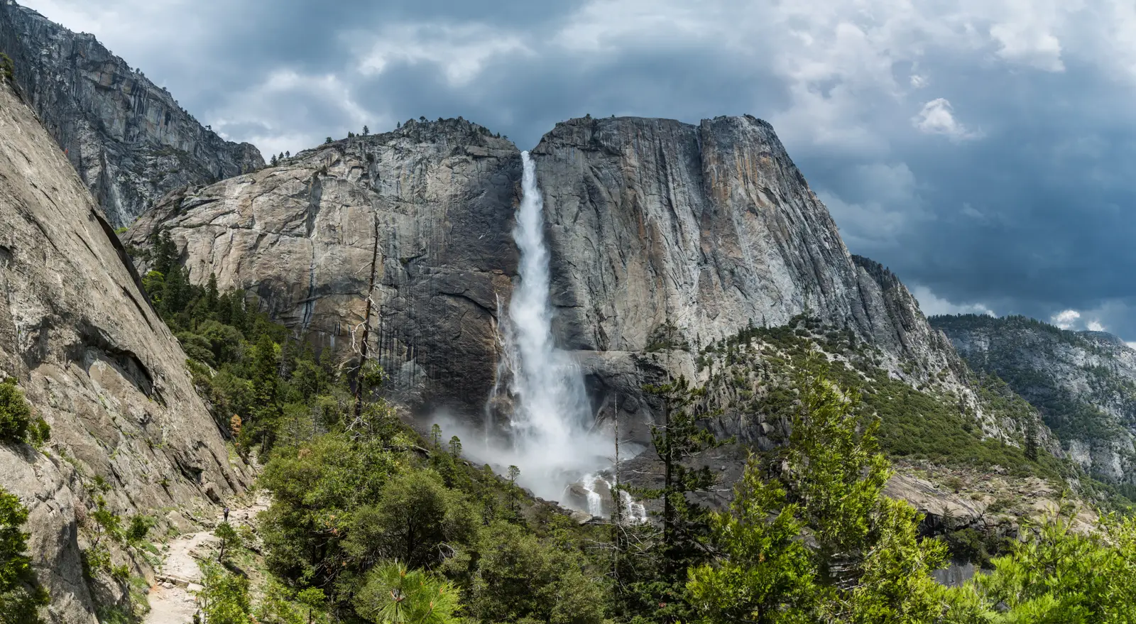

California has 181 named waterfalls in the U.S. Geological Survey Geographic Names Information System, the features classified as Falls. That count ranks California tied for 4th with Washington among the 50 states. The figure comes from the GNIS domestic-names extract in this site, committed 2026-10-02, and this page was published 2026-11-19. The latest feature-edit date stored on these Falls records is December 30, 2020.
National rank and density
Divided by the state's land area of 155,859 square miles, from the U.S. Census Bureau 2024 Gazetteer (ALAND_SQMI, land only, inland water excluded), California has 1.16 named falls per 1,000 square miles. That density ranks 15th of the 50 states. The national named total in this extract is 2,514 falls across the 50 states, so California holds 7.2 percent of them.
Bordering states, with their named-falls counts: Arizona (26); Nevada (8, no separate count page); Oregon (241).
Where the named falls cluster
California's named falls are filed under 42 county equivalents. The largest counts are Mariposa (23), Siskiyou (14), and Shasta (13), 50 falls and 27.6 percent of the state total.
Mariposa County, which contains Yosemite Valley, has 23 named falls. Siskiyou and Shasta counties, in the southern Cascades, have 27 together.
The California waterfall map plots the same named falls. County names are the labels GNIS recorded. Connecticut's file uses planning regions, Alaska's uses boroughs and census areas, and Louisiana's uses parishes, so the column is not always a traditional county.
Why California's count looks like this
California is tied with Washington for fourth, and the named falls are not only Yosemite. Mariposa County, which holds Yosemite Valley, is the largest single county count, which is exactly what hanging-valley geology predicts: glaciers deepened the Merced canyon and left Bridalveil, Yosemite, Vernal and Nevada falling from the rims. Siskiyou and Shasta counties add a second, wetter cluster in the southern Cascades, including Burney Falls, where basalt and spring water matter more than Sierra granite.
The rest of the state is a thin scatter. The Coast Ranges and the Transverse Ranges have some named drops, McWay on the Big Sur coast among them, but southern California’s named list is short because the climate does not keep small creeks running. A Sierra county can record a fall that flows hard for six weeks and is a stain on the rock by August. That still counts in GNIS if someone named it.
Named falls we publish
We publish a full page for 56 of the 181 named falls. A page exists when the fall has at least 25 Google reviews, a sourced trip guide, or at least 200 characters of USGS description or history. The other 125 stay on the state guide as names and coordinates. The California state guide also lists 8 other places from Google Maps that are not in the GNIS Falls extract, so the guide's total is 189.
- Burney Falls (Shasta · 1,774 Google reviews · About 1 to 1.2 miles loop)
- McWay Falls (Monterey · 646 Google reviews · 0.5 mile round trip)
- Bonita Falls (San Bernardino · 428 Google reviews · About 1.5 miles round trip)
- Alamere Falls (Marin · 414 Google reviews · About 6.5 miles one way (13 miles round trip))
- Bridalveil Fall (Mariposa · 379 Google reviews · 0.5 mile round trip)
- Vernal Fall (Mariposa · 321 Google reviews · 2.4 miles round trip)
- Mossbrae Falls (Siskiyou · 283 Google reviews)
- Tahquitz Falls (Riverside · 250 Google reviews · About 1.8 miles round trip)
- Rainbow Falls (Madera · 239 Google reviews · About 1.5 miles one way (3 miles round trip))
- Sturtevant Falls (Los Angeles · 196 Google reviews · Sturtevant Falls Trail)
- Bassi Falls (El Dorado · 180 Google reviews)
- Fossil Falls (Inyo · 160 Google reviews · 0.2 miles one way)
Those are the 12 published pages with the most Google reviews. The state guide links the rest.
Tallest falls on the record
Our national roundup, the largest waterfalls in the U.S. by state, names a well-documented tall fall for California in the state-by-state table. That roundup is a height and volume study. It is not this named-count ranking. Separately, the tallest height written into the USGS gazetteer text in our file is Bridalveil Fall at 620 feet, Burney Falls at 129 feet, and Cedar Creek Falls at 80 feet. Most Falls records state no height, so this is not a ranking of the tallest waterfall in the state.
National parks
These national park guides include a published waterfall whose coordinates fall inside the park and inside California.
- Yosemite National Park (12 published waterfalls in California: Bridalveil Fall, Chilnualna Fall, Le Conte Falls, Lower Yosemite Fall, Nevada Fall, Pywiack Cascade, Tueeulala Falls, Vernal Fall, Wapama Falls, Wildcat Falls, Yosemite Falls, Horsetail Fall)
- Kings Canyon National Park (2 published waterfalls in California: Mist Falls, Roaring River Falls)
- Death Valley National Park (1 published waterfall in California: Darwin Falls)
- Lassen Volcanic National Park (1 published waterfall in California: Kings Creek Falls)
- Sequoia National Park (1 published waterfall in California: Tokopah Falls)
Trails we can measure
These distances come from the trail notes already attached to the published pages, either a sourced trip guide or an OpenStreetMap path. A blank distance means the map did not give one we were willing to print.
- Burney Falls: Falls Loop Trail, About 1 to 1.2 miles loop
- McWay Falls: McWay Falls Overlook Trail, 0.5 mile round trip
- Bonita Falls: About 1.5 miles round trip
- Alamere Falls: Coast Trail, About 6.5 miles one way (13 miles round trip)
- Bridalveil Fall: 0.5 mile round trip
- Vernal Fall: Mist Trail, 2.4 miles round trip
When to go in California
Sierra and Yosemite falls track the snowpack. The National Park Service’s own description of Yosemite Falls puts the strong season from about November through July, with a May peak, and several valley walls are dry by late summer. Burney Falls is the exception people notice: it is spring-fed and stays comparatively steady. Coast Range falls such as McWay and Alamere follow winter rain more than June snowmelt.
How this number was counted
Named falls are records with feature class Falls in the USGS National Map GNIS domestic names, filtered to this state in data/gnis-waterfalls.json. The download script is scripts/prepare-gnis.mjs, pointed at the USGS domestic-names file. Land area is ALAND_SQMI in the Census Bureau 2024 Gazetteer national state file, written by scripts/prepare-state-areas.mjs. Density is named falls divided by land area, times 1,000. The full 50-state ranking, including states with too few named falls for their own page, is Which state has the most waterfalls?.
Frequently asked questions
How many waterfalls are in California?
California has 181 named waterfalls in the USGS GNIS Falls class, ranking tied for 4th with Washington of the 50 states. The extract used here was committed 2026-10-02, and this page was published 2026-11-19.
Which county in California has the most named waterfalls?
Mariposa has the most, with 23 named falls. Siskiyou is next with 14.
How many California waterfalls have a page on this site?
56 of the 181 named falls have a published page. A page requires 25 or more Google reviews, a sourced trip guide, or at least 200 characters of USGS description or history.
When is the best time to see waterfalls in California?
Sierra and Yosemite falls track the snowpack. The National Park Service’s own description of Yosemite Falls puts the strong season from about November through July, with a May peak, and several valley walls are dry by late summer. Burney Falls is the exception people notice: it is spring-fed and stays comparatively steady. Coast Range falls such as McWay and Alamere follow winter rain more than June snowmelt.
Are California’s named waterfalls mostly in Yosemite?
Mariposa County, where Yosemite Valley sits, has the state’s largest county count, and several of the tall granite falls are there. It is not the whole state. Siskiyou and Shasta counties add a large Cascade cluster, and named falls continue south through the Sierra into Tulare County. Southern California has very few by comparison.